Acton Recreation Area
Total Miles
3.6
Technical Rating
Best Time
Spring, Summer, Fall
Trail Type
Full-Width Road
Accessible By
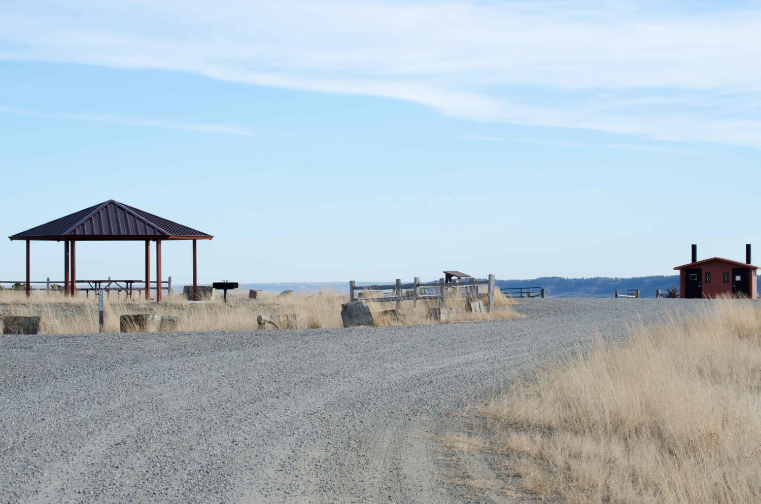
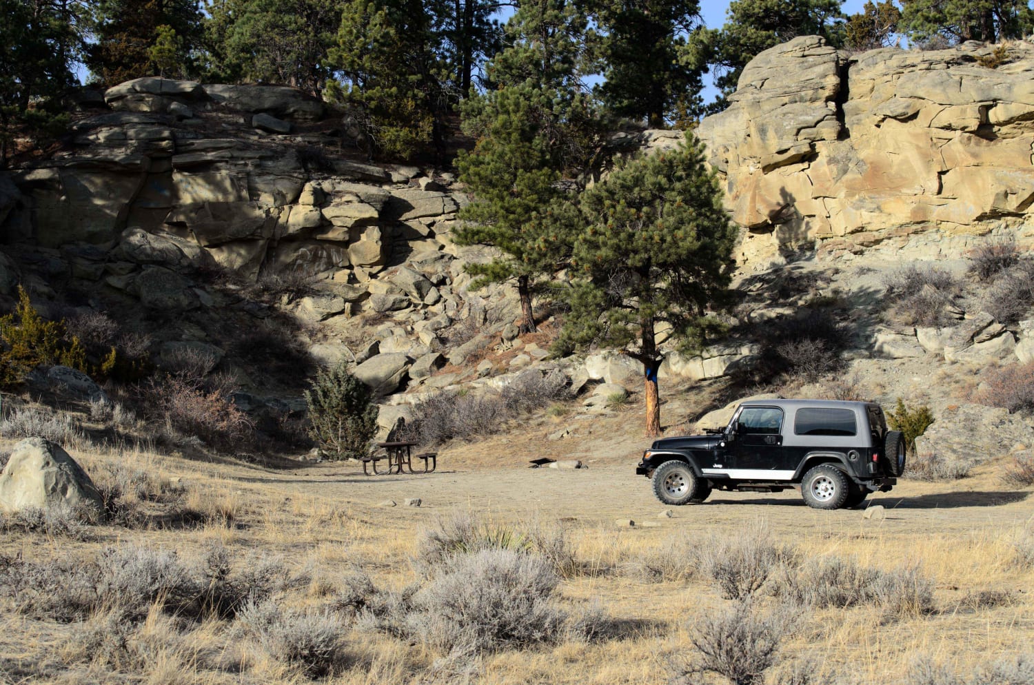
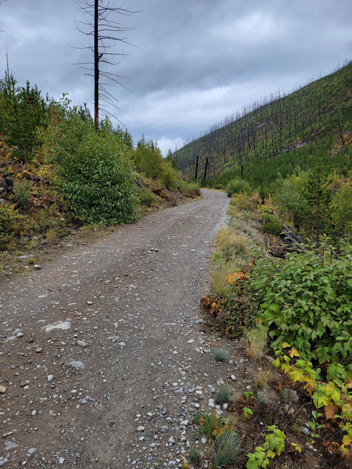
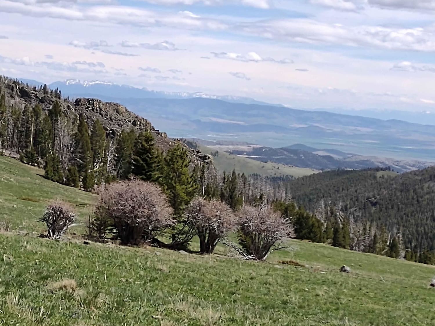
Trail Overview
There are approximately 6.5 miles of roads used for motorized use in this area. Although not very technical, the roads provide off-roaders of all skill level an area to practice and explore on their mountain bike, dirt bike, ATV or SxS, or high clearance vehicle. No off-road motorized vehicle use is permitted to protect the archaeological sites in the area.
Photos of Acton Recreation Area
Difficulty
Easy dirt two track most of the year. Can become muddy and impassible after significant moisture.
Status Reports
Acton Recreation Area can be accessed by the following ride types:
- High-Clearance 4x4
- SUV
- SxS (60")
- ATV (50")
- Dirt Bike
Acton Recreation Area Map
Popular Trails
Trail Creek to Graves Creek
Weston Creek Upper Portion

Miller Trail #2496

Sun Canyon Road
The onX Offroad Difference
onX Offroad combines trail photos, descriptions, difficulty ratings, width restrictions, seasonality, and more in a user-friendly interface. Available on all devices, with offline access and full compatibility with CarPlay and Android Auto. Discover what you’re missing today!