Rock Creek Trail
Total Miles
6.0
Technical Rating
Best Time
Spring, Summer, Fall
Trail Type
High-Clearance 4x4 Trail
Accessible By
Trail Overview
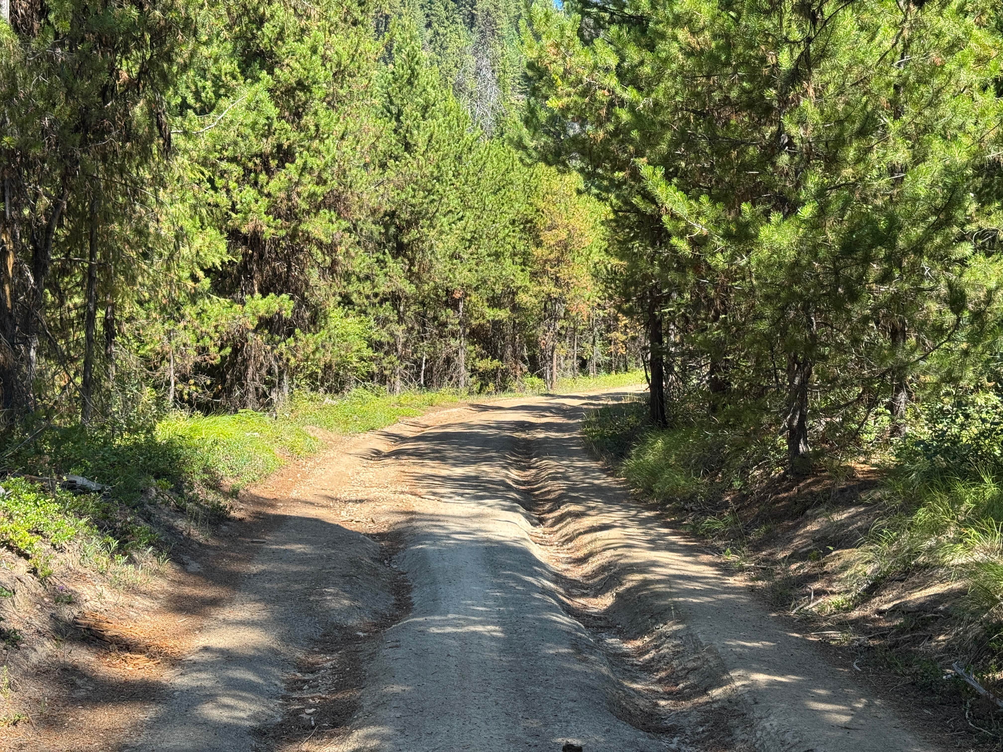
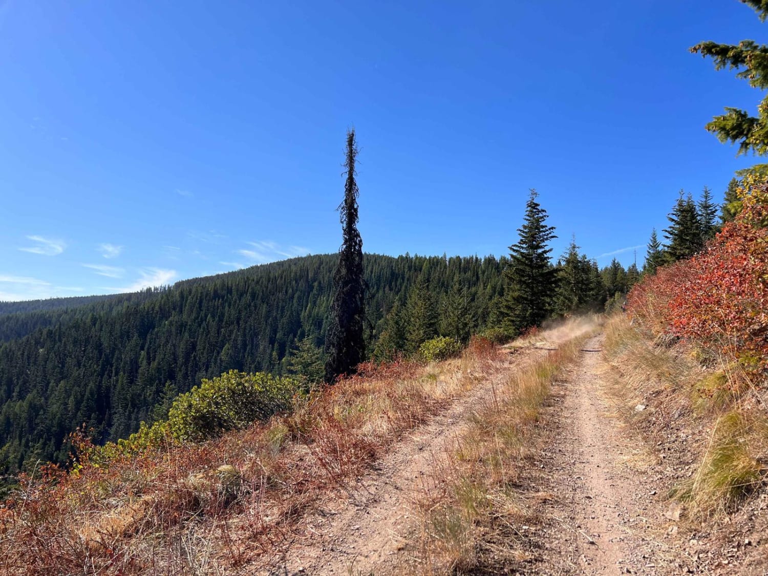
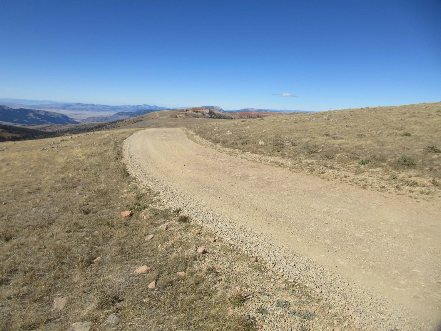
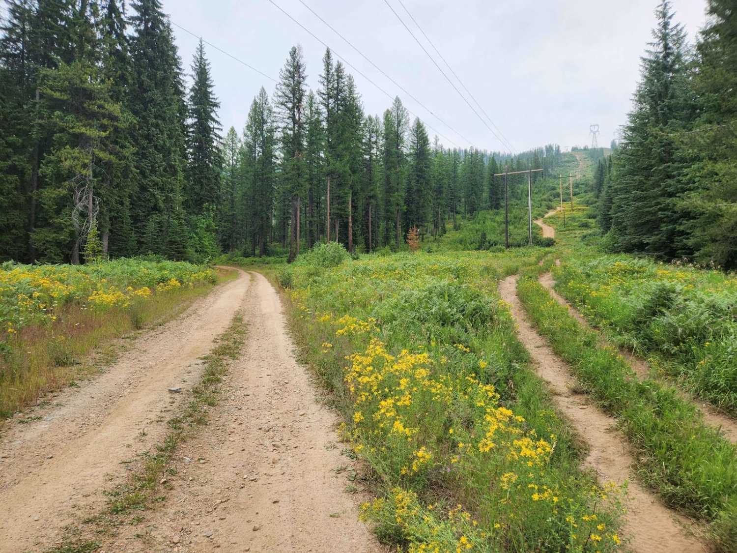
Rock Creek Trail (4W-378) travels north outside of De Borgia approximately 6 miles before reaching the 42-378/FSR-378/FSR-444 intersect. Before entering the trail, a paved section of road winds through rural development. The start of the trail is where pavement ends and dirt begins, with a large yellow sign warning of a single lane road with turnouts. The first 1.5 miles passes through some cabins and summer homes. Despite the road being FS jurisdiction, this portion of land is not public lands - be sure to remain on the road. Caution to not stir excessive dust should be taken. The first 1/3 of the trail is easy, passable by full sized vehicles. Once under the power lines, the road begins a steep and narrow ascent with multiple tight switchbacks and loose gravel - potentially requiring 4WD. After the switchbacks, the road narrows, with multiple trees fallen into the road cut out by passer-by's and few places to pass - a chainsaw is highly recommended. Both cut and fill slopes of the road are very steep. Extreme caution should be taken during times of wet soil and snow as an out-sloped road, and loos soils can cause a vehicle to slide off the road. Once past the old Rock Island Mine, the road mellows, but with encroaching brush potentially causing pin-striping. Though doable with a full size truck, due to the steep slopes, tight switch backs, and limited pull-out locations, this trail is best suited for Jeeps and side-by-sides.
Photos of Rock Creek Trail

Difficulty
Due to the tight switchbacks, few pull-outs, and steep fill slope with potential catastrophic consequence if sliding off the road, this trail receives a difficulty rating of 3.
History
Unknown mining history.
Status Reports
Rock Creek Trail can be accessed by the following ride types:
- High-Clearance 4x4
- SxS (60")
- ATV (50")
- Dirt Bike
Rock Creek Trail Map
Popular Trails
Huckleberry Mountain
Gravelly Range Road (FS290) (Partial)

Tepee Creek Trail
The onX Offroad Difference
onX Offroad combines trail photos, descriptions, difficulty ratings, width restrictions, seasonality, and more in a user-friendly interface. Available on all devices, with offline access and full compatibility with CarPlay and Android Auto. Discover what you’re missing today!