Robins Gulch
Total Miles
6.0
Technical Rating
Best Time
Summer, Fall
Trail Type
Full-Width Road
Accessible By
Trail Overview
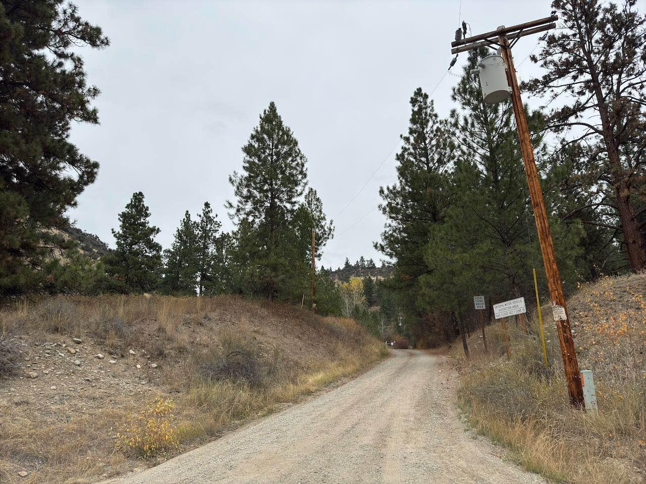
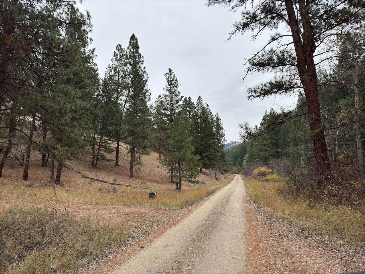
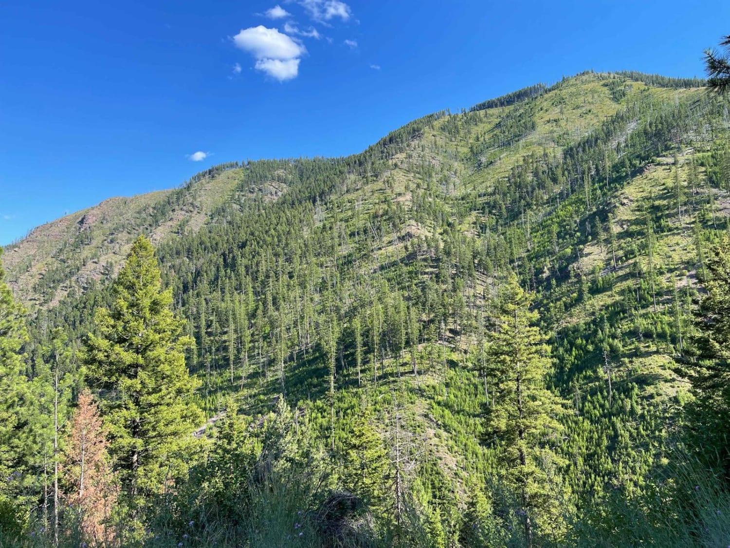
Robins Gulch is a very easy road. The road is very smooth, with no ruts, no washboards, and no potholes. There is room to pass oncoming vehicles in many places. For the most part, this road is one full-size vehicle wide, but there's plenty of room on the edges to pass if needed. You can cruise on this road pretty fast, but there are a lot of sharp turns and blind corners that you want to go easy around. This road will take you from Highway 93 just south of Conner, Montana, and will spit you out on another trail called Moonshine Connection after 6 miles. As you get higher in elevation, there are some good views down the gulch and of Trapper Peak. The road is a smooth gravel surface with no obstacles. Overgrown tree limbs and bushes have been trimmed as of the fall of 2024.
Photos of Robins Gulch
Difficulty
This is a very easy gravel road. 4x4 is not required and there are no obstacles. The road isn't super wide but easy to find a place to pass oncoming vehicles.
Status Reports
Robins Gulch can be accessed by the following ride types:
- High-Clearance 4x4
- SUV
- SxS (60")
- ATV (50")
- Dirt Bike
Robins Gulch Map
Popular Trails
Buttermilk Creek Trail

Porcupine Creek #34
West Fork Schwartz Creek
The onX Offroad Difference
onX Offroad combines trail photos, descriptions, difficulty ratings, width restrictions, seasonality, and more in a user-friendly interface. Available on all devices, with offline access and full compatibility with CarPlay and Android Auto. Discover what you’re missing today!