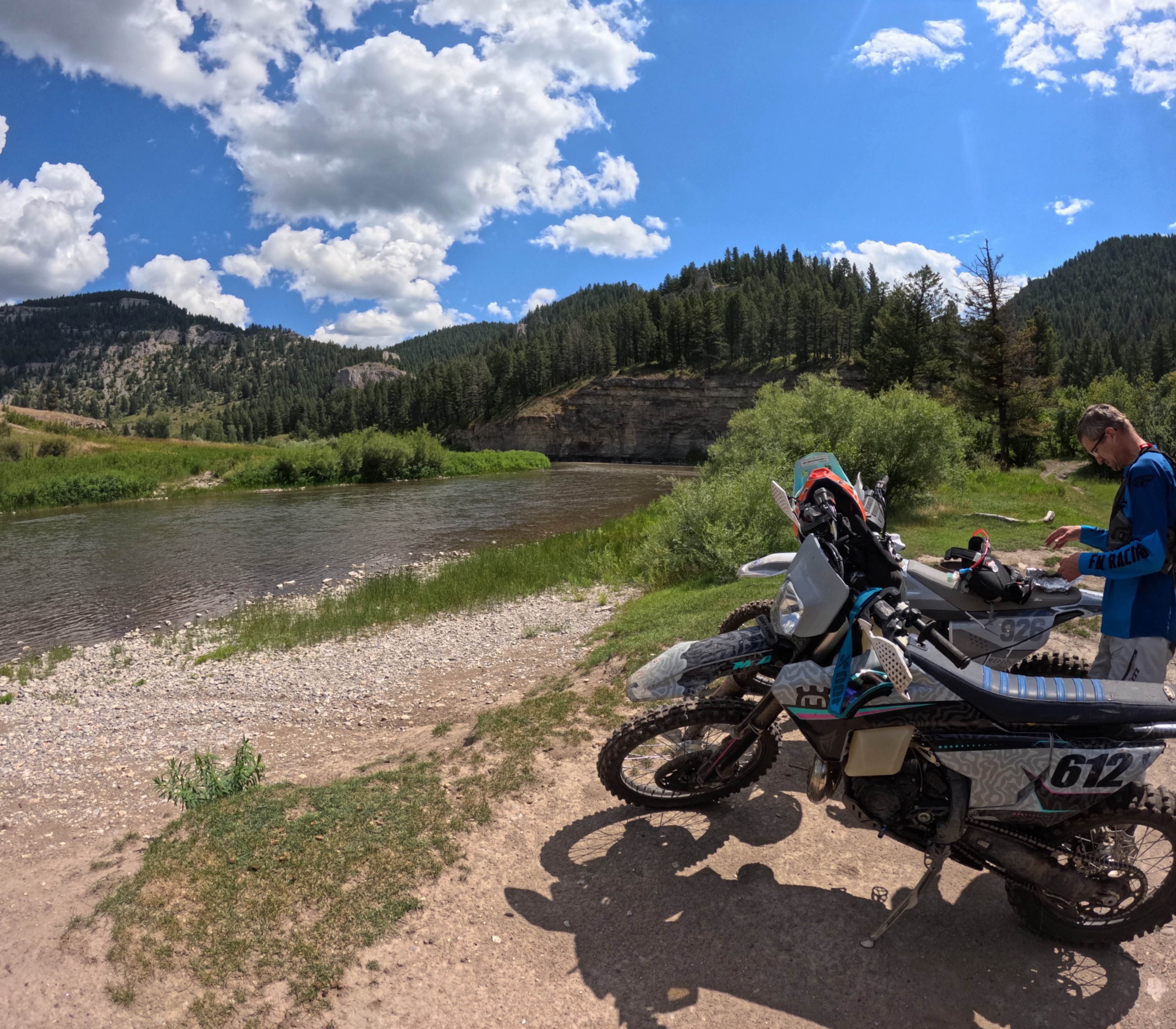
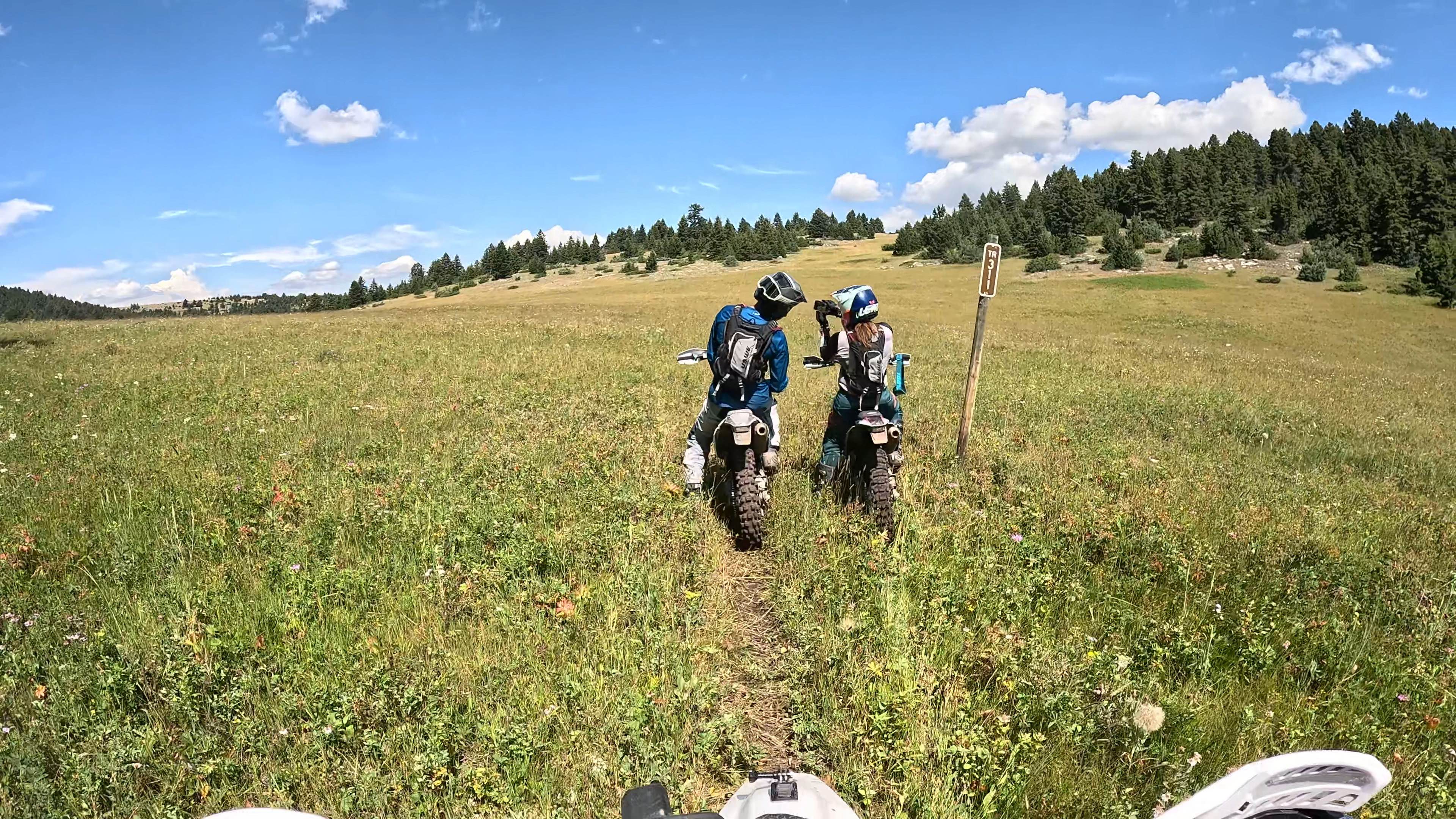
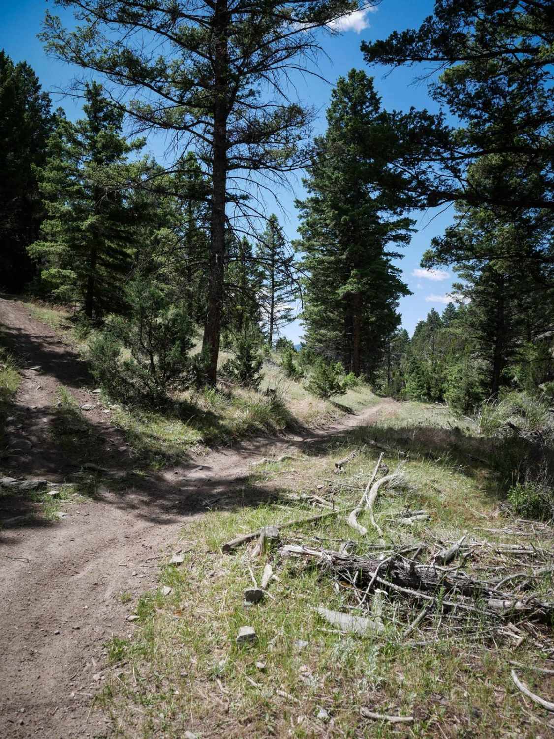
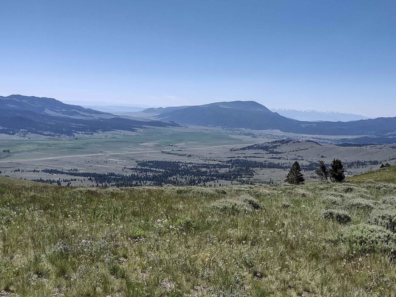
Smith River Trail
Total Miles
20.7
Technical Rating
Best Time
Summer
Trail Type
Single Track
Accessible By
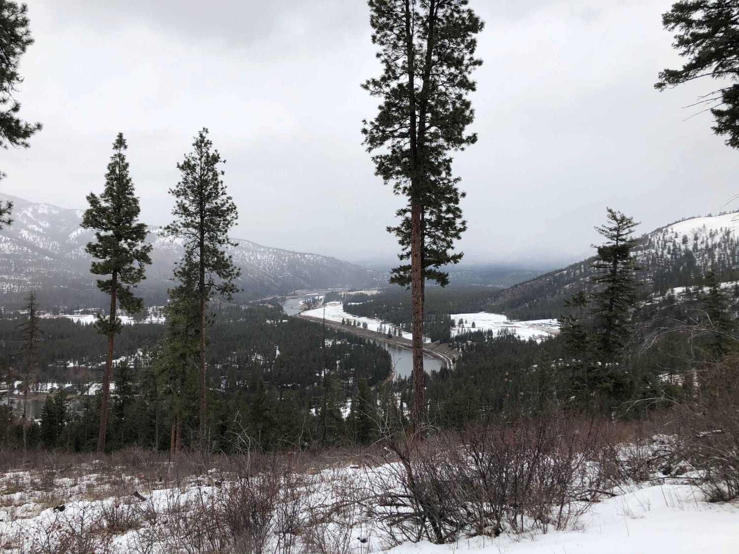
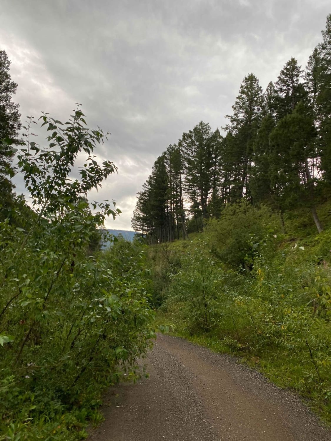
Trail Overview
Starting at the Deep Creek trailhead in the Little Belt Mountains, take the North Fork Deep Creek trail. About 1.5 miles in, you will run into a small section of double track for 2 to 3 miles. Then you will take the Old Baldy trail off of the double track. This trail is marked and should be easy to follow. Keep on Old Baldy Trail for several miles until you hit another fork in the trail. Keep on the Smith River trail. Again, the trail is marked and should be easy to follow. Keep on the Smith River Trail, and you will come up to a large meadow with a gate. Once you reach this large meadow, the trail is hard to find, but there is a wooden trail marker is past the gate, towards the tree line. Picture included. Then follow the rest of the trail to Smith River. Enjoy and close all gates behind you.
Photos of Smith River Trail
Difficulty
This singletrack trail is narrow, with sections that include exposure. Log crossings, washed-out areas, and segments where the route is difficult to follow increase the challenge.
Status Reports
Smith River Trail can be accessed by the following ride types:
- Dirt Bike
Smith River Trail Map
Popular Trails
Wood Chute to Blue Bird Mine
Albert Lothrop Rd 5563
Cliff Creek Trail
The onX Offroad Difference
onX Offroad combines trail photos, descriptions, difficulty ratings, width restrictions, seasonality, and more in a user-friendly interface. Available on all devices, with offline access and full compatibility with CarPlay and Android Auto. Discover what you’re missing today!