South Fork Bull River
Total Miles
9.9
Technical Rating
Best Time
Summer
Trail Type
Full-Width Road
Accessible By
Trail Overview
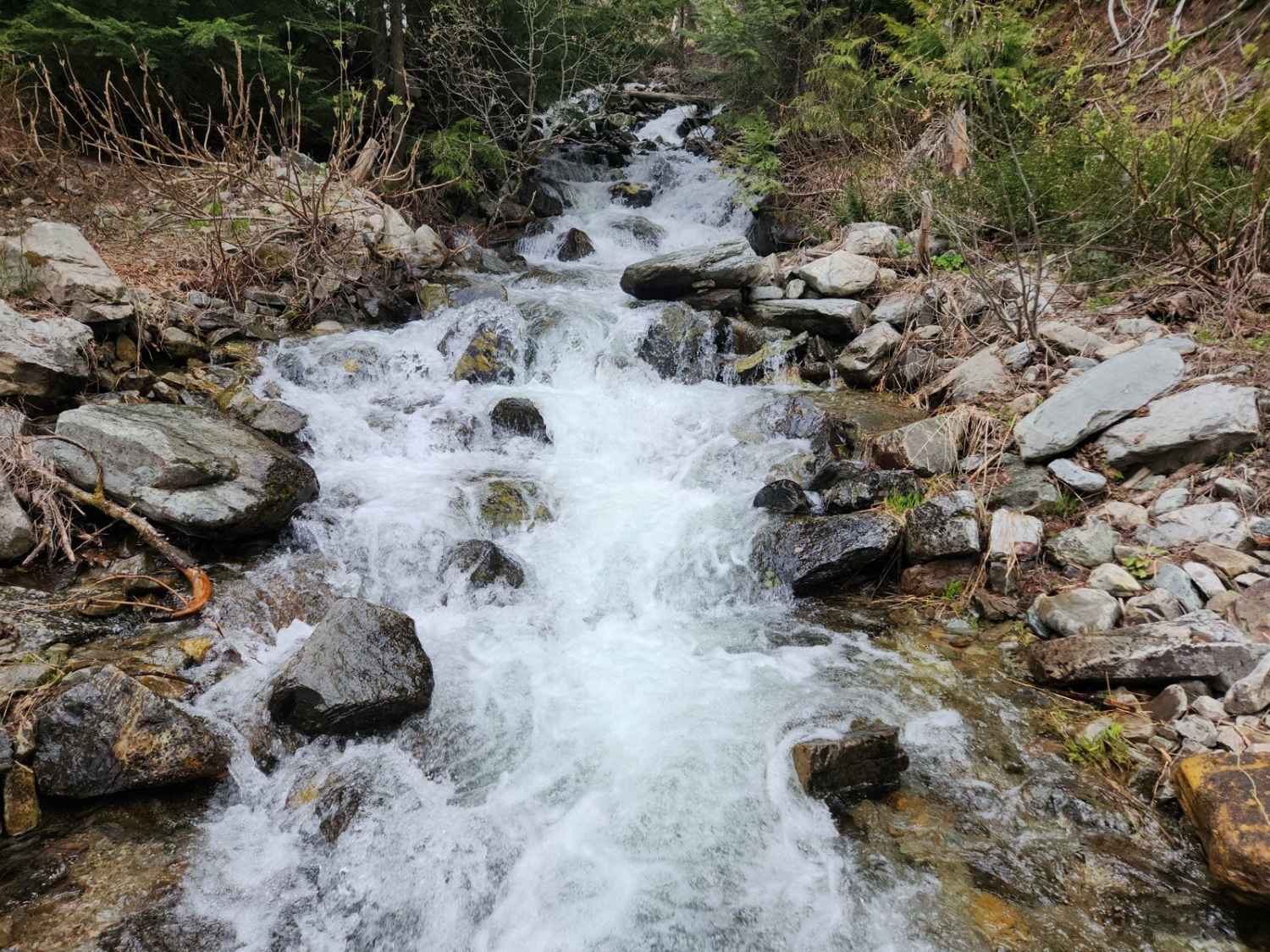
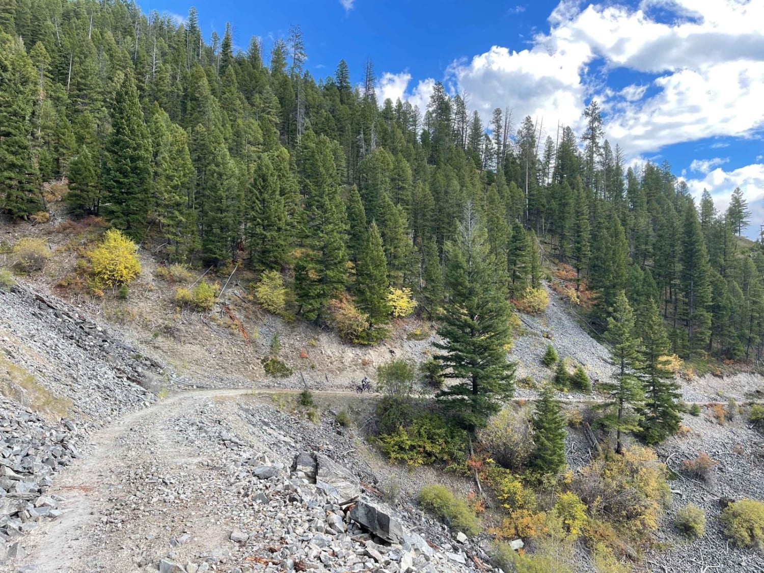
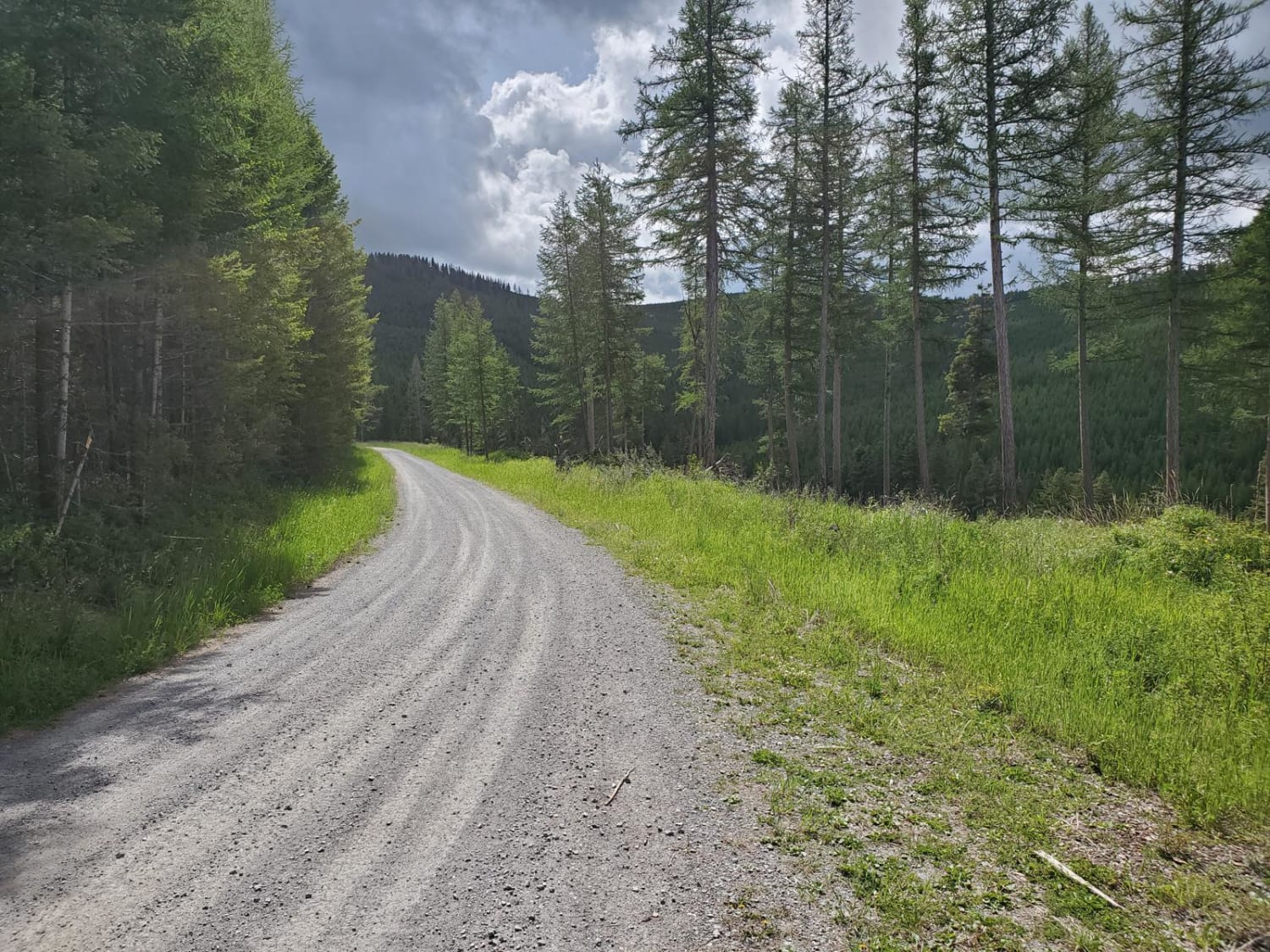
South Fork Bull River or NF 410 is an easy, moderately graded Forrest Service road that climbs Snake Creek to the crest and descends down the South Fork Bull River. The roadway has recently been graded, though there is some encroachment from trees and brush from the sides. You will pass the Trailhead to Dad Peak and an offshoot to the top of Berray Mountain (FSR 2272). There are no campsites, bathrooms, or cell service along this route. Seasonally, this route may be impassible due to snowfall and downed trees. This route is densely forested and is habitat for Deer, Elk, Bear, and Grouse. Contact the Cabinet Ranger District Trout Creek Ranger Station for current conditions (406)-827-3533.
Photos of South Fork Bull River

Difficulty
Difficulty may change with inclement weather
South Fork Bull River can be accessed by the following ride types:
- High-Clearance 4x4
- SUV
- SxS (60")
- ATV (50")
- Dirt Bike
South Fork Bull River Map
Popular Trails

West Fork of Swamp Creek
Weasel Creek

Bridger Ridge
Patrick Creek to Emmons Creek
The onX Offroad Difference
onX Offroad combines trail photos, descriptions, difficulty ratings, width restrictions, seasonality, and more in a user-friendly interface. Available on all devices, with offline access and full compatibility with CarPlay and Android Auto. Discover what you’re missing today!