South Fork Madison Road (478)
Total Miles
8.7
Technical Rating
Best Time
Spring, Summer, Fall
Trail Type
Full-Width Road
Accessible By
Trail Overview
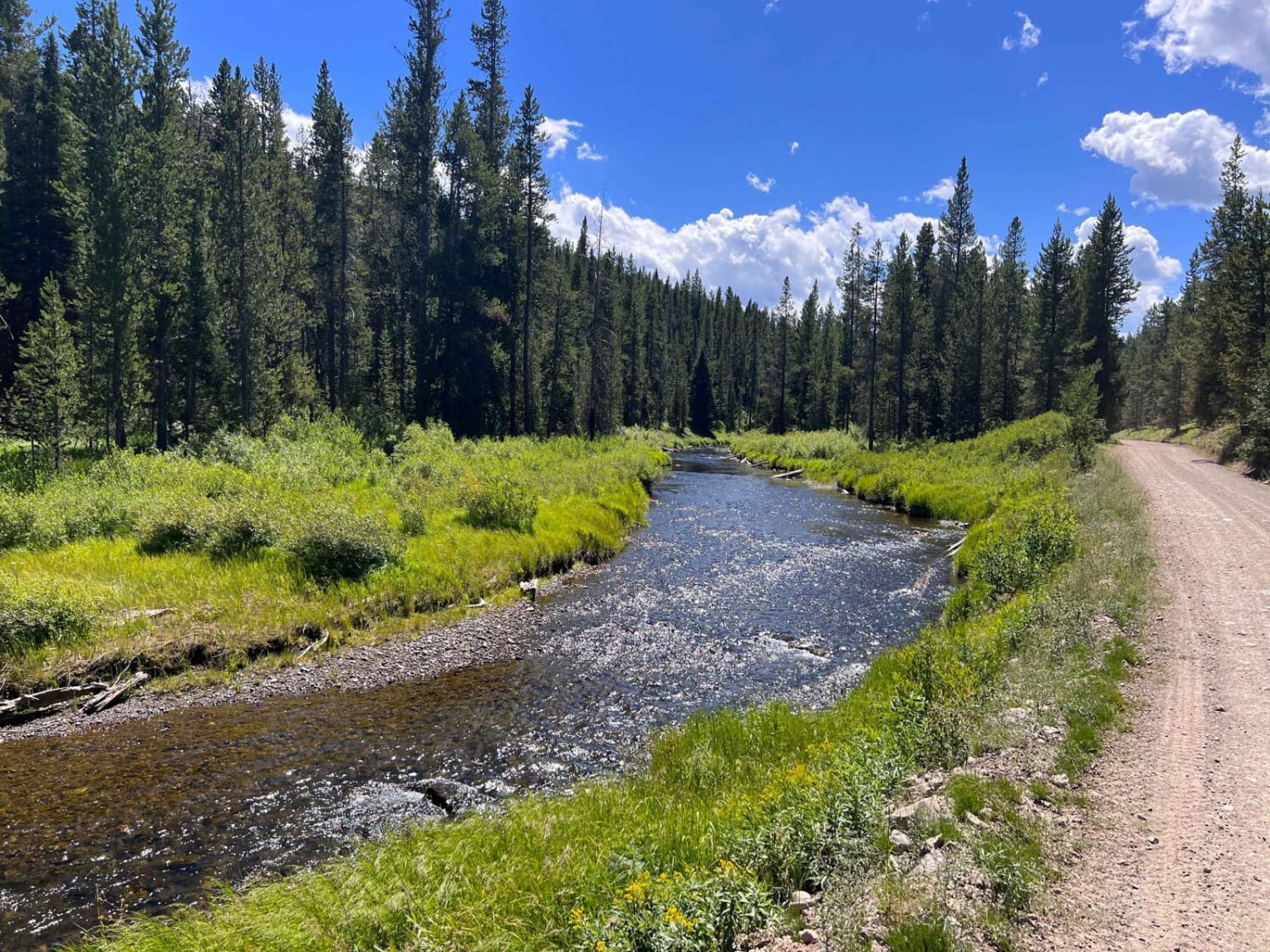
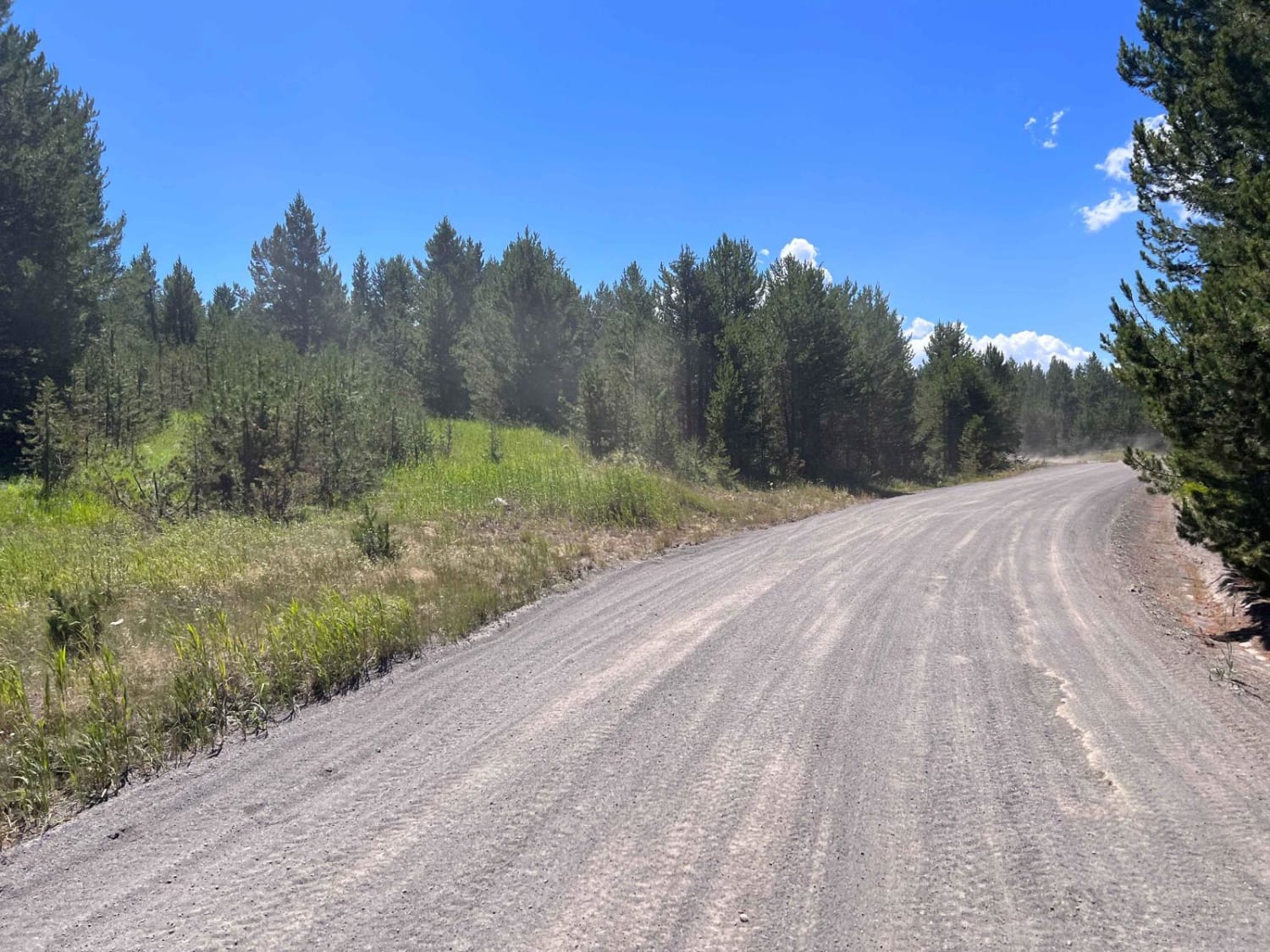
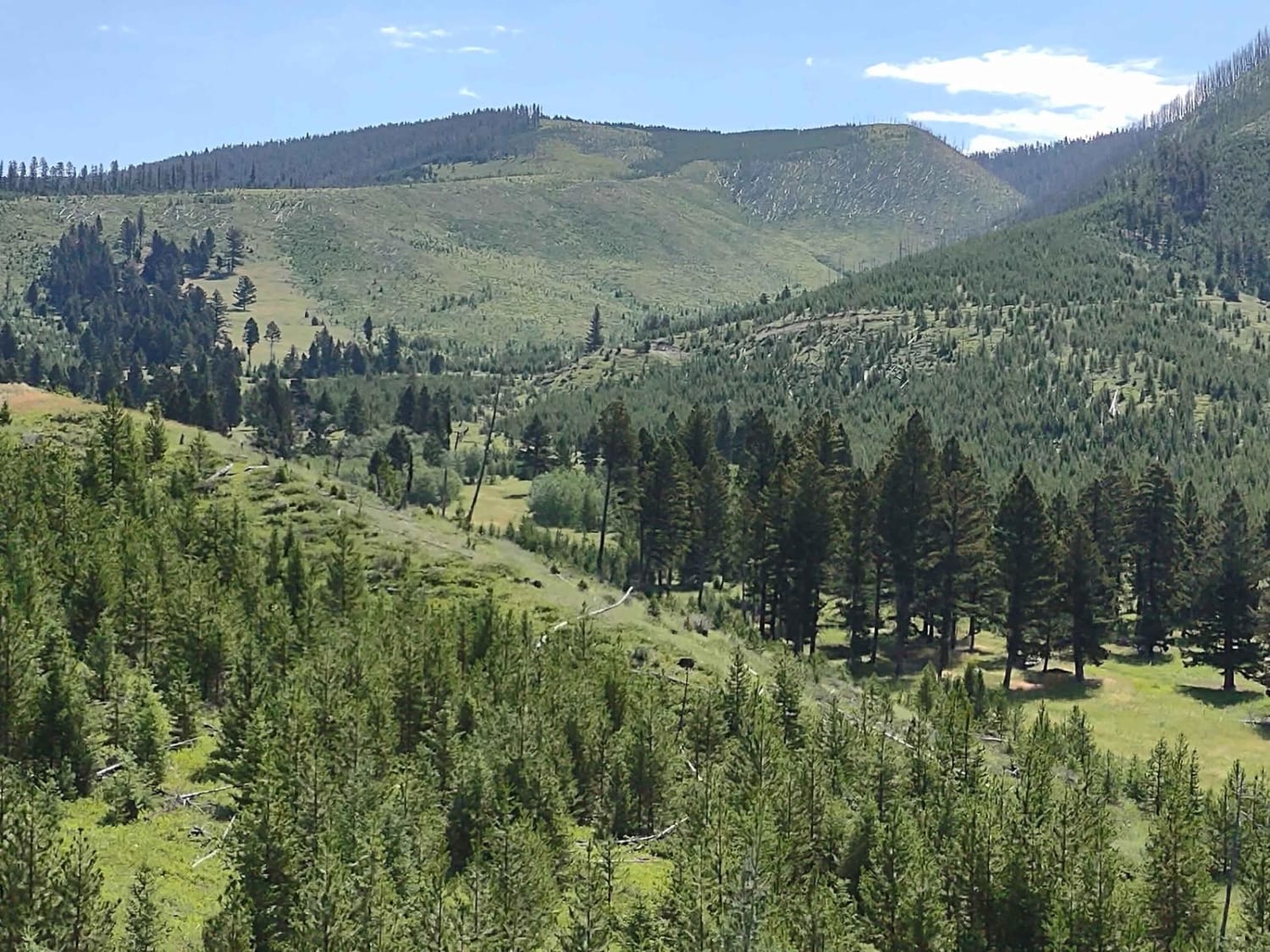
This is a well-maintained Forest Service Road that joins Highway 20 just west of West Yellowstone and runs to the Idaho Border. At Reas Pass, you can explore Two Tops if your machine is 50 inches or less. There is also a restroom facility at this point. For those who enjoy biking or hiking, there is access to the new paved path being constructed between Big Springs and West Yellowstone. Along the road, you will run along the Madison River headwaters. This is an extremely beautiful stream with opportunities to pull off for a picnic or short hike. This area does have a bear population, so be sure you take precautions to keep everyone safe.
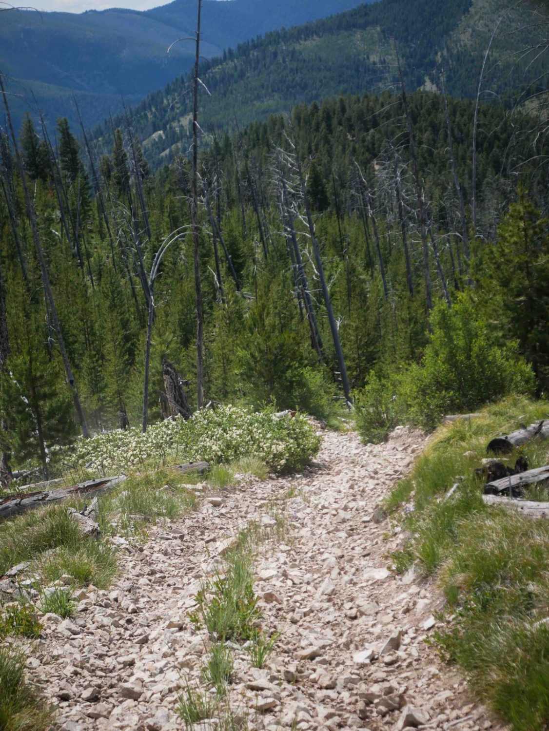
Photos of South Fork Madison Road (478)
Difficulty
This is a well maintained Forest Service road with minimal issues for most vehicles up to Reas Pass. Beyond that point, you will want to use Black Canyon Road on the Idaho side to complete the journey to Big Springs if you have a vehicle over 70 inches wide.
Status Reports
South Fork Madison Road (478) can be accessed by the following ride types:
- High-Clearance 4x4
- SUV
- SxS (60")
- ATV (50")
- Dirt Bike
South Fork Madison Road (478) Map
Popular Trails
Sunshine Ridge
Trail #185 (Part 2)

The onX Offroad Difference
onX Offroad combines trail photos, descriptions, difficulty ratings, width restrictions, seasonality, and more in a user-friendly interface. Available on all devices, with offline access and full compatibility with CarPlay and Android Auto. Discover what you’re missing today!