Snowshoe Pass
Total Miles
9.3
Technical Rating
Best Time
Spring, Summer, Fall
Trail Type
Full-Width Road
Accessible By
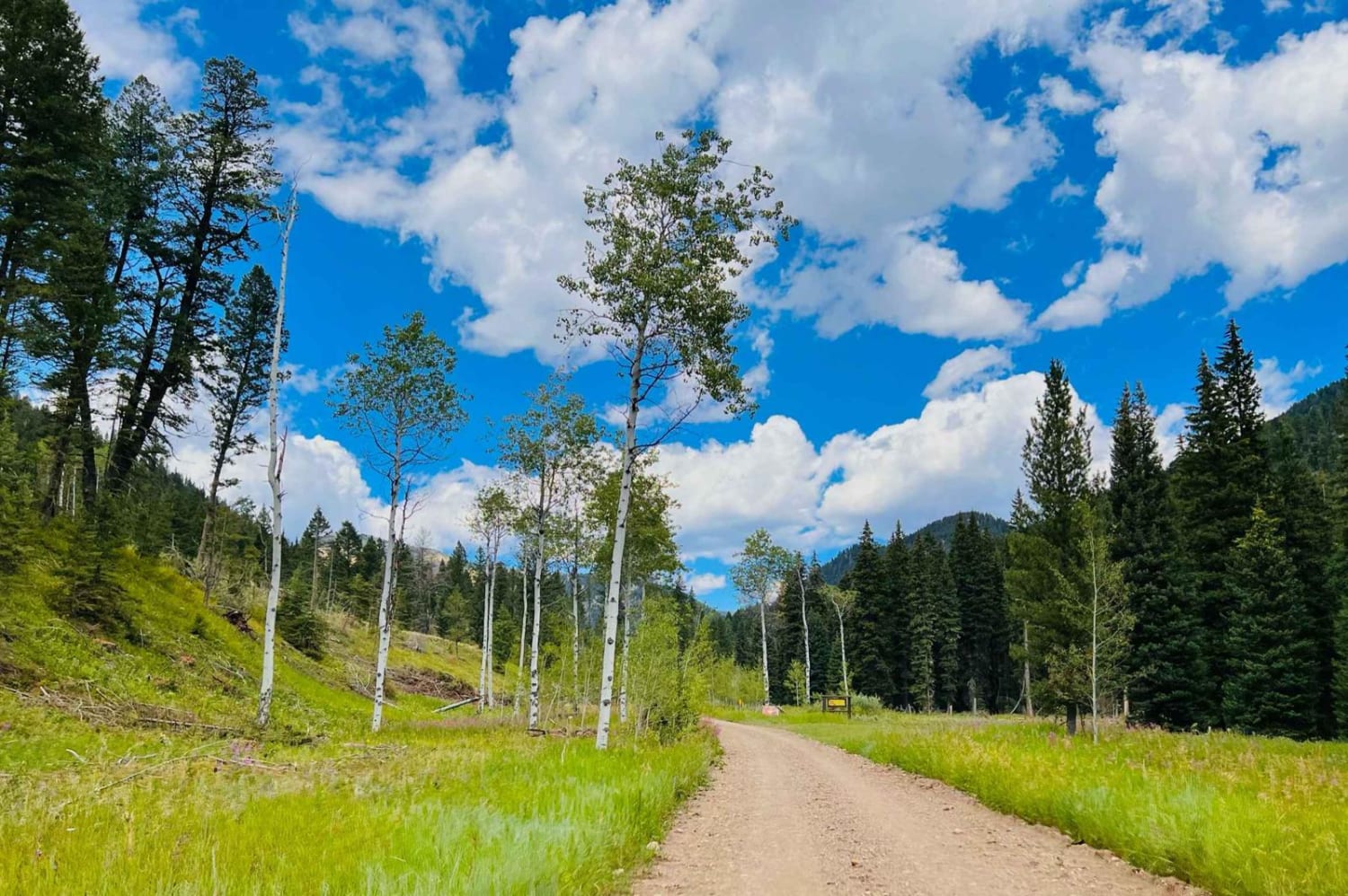
Trail Overview
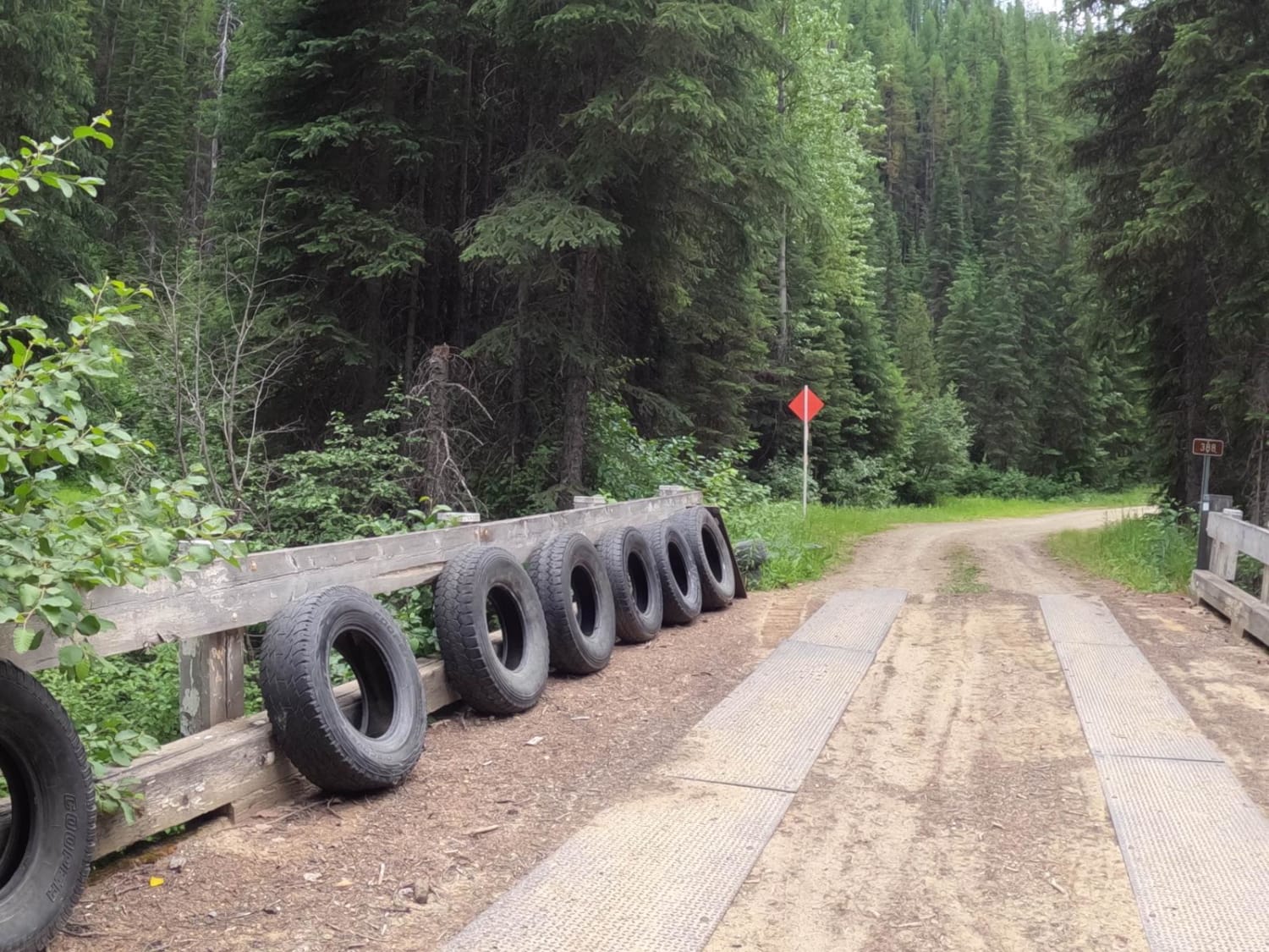
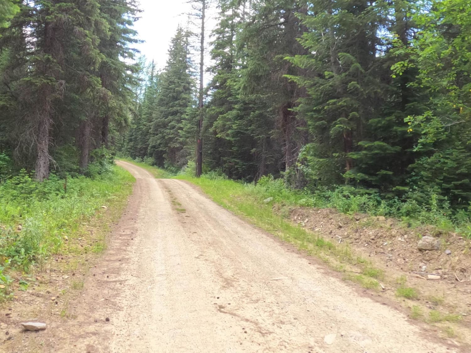
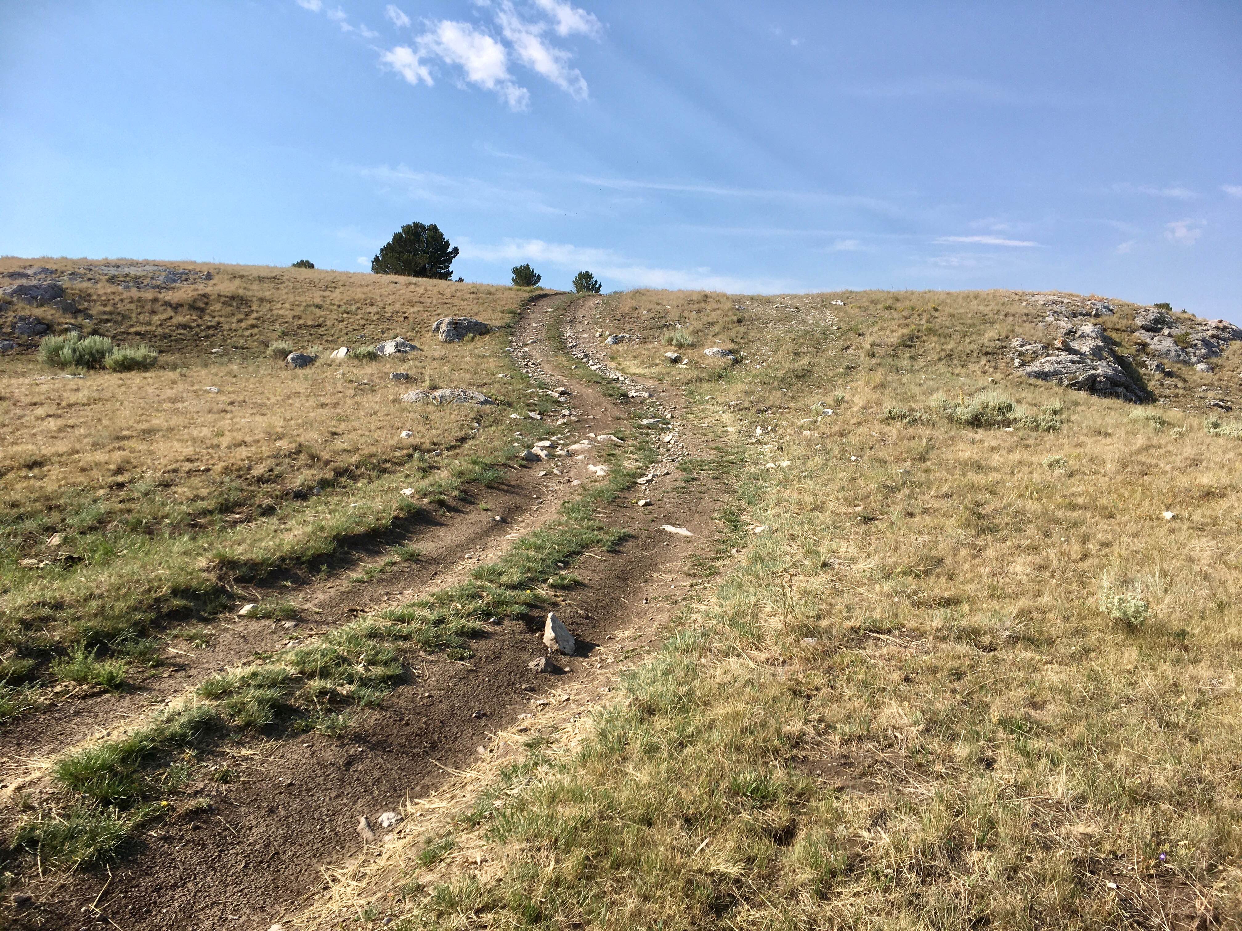
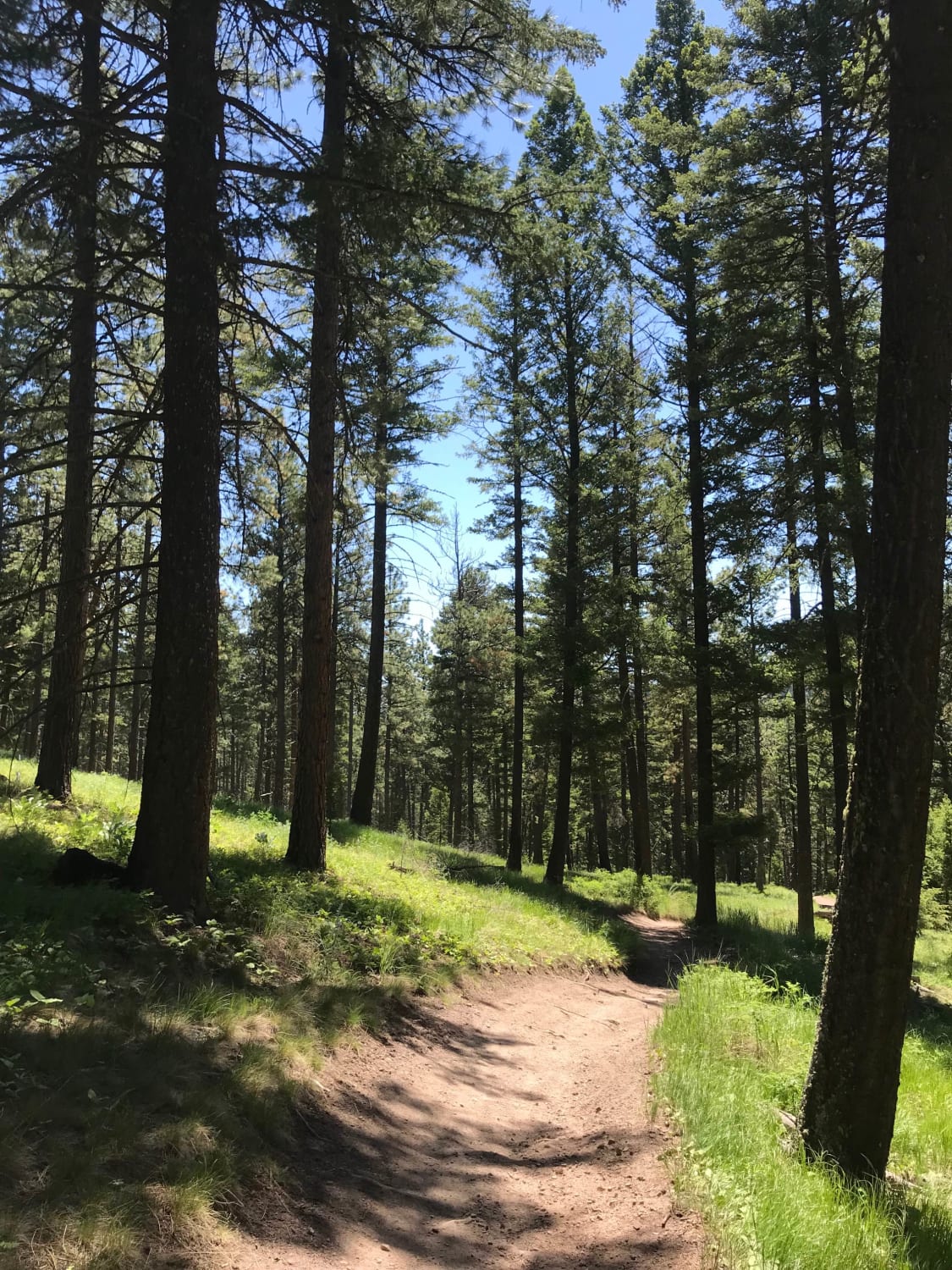
The route surface is hard-packed dirt and gravel with loose rock in some areas. The route will pass by an old logging operation where some trees are still piled high for removal. The route is mostly narrow, but passing shouldn't be a problem for most of the route. The route climbs from 4300'-6200' with some very steep embankments along the side of the route. Dusty roads can be bothersome during dry conditions. Offline maps need to be used for this route.
Photos of Snowshoe Pass
Difficulty
The route is narrow but passing another vehicle is possible. Most of the route is a dirt & gravel make up, but some rocky rutted areas can be encountered. Parts of the route have some very steep drop-offs along the roadside and around some curves. Passing could be tight in some spots.
History
You will pass by the Gildersleeve Mine on the route.
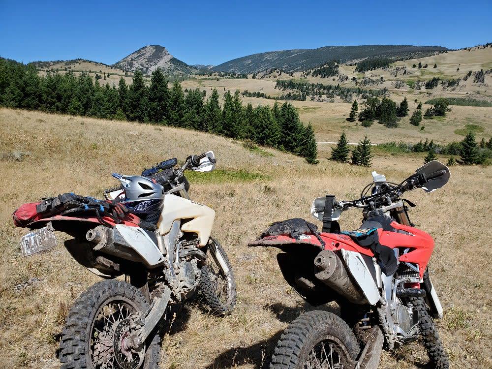
Snowshoe Pass can be accessed by the following ride types:
- High-Clearance 4x4
- SUV
- SxS (60")
- ATV (50")
- Dirt Bike
Snowshoe Pass Map
Popular Trails
West Fork Ridge Road
Blue Mountain Single Track
Ford Basin to Home/Lime Gulch
The onX Offroad Difference
onX Offroad combines trail photos, descriptions, difficulty ratings, width restrictions, seasonality, and more in a user-friendly interface. Available on all devices, with offline access and full compatibility with CarPlay and Android Auto. Discover what you’re missing today!