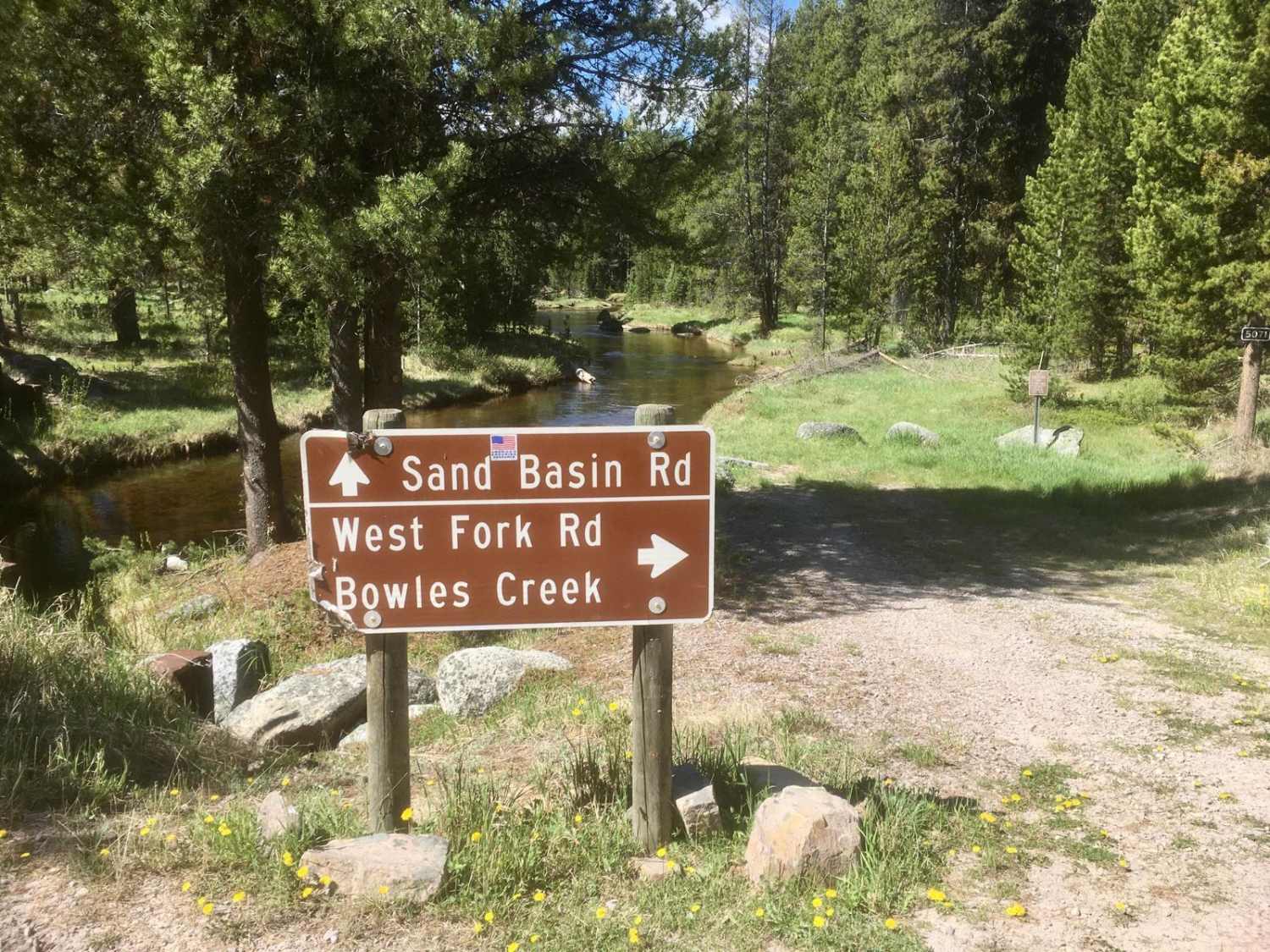
West Fork Road
Total Miles
6.9
Technical Rating
Best Time
Spring, Summer, Fall
Trail Type
Full-Width Road
Accessible By
Trail Overview
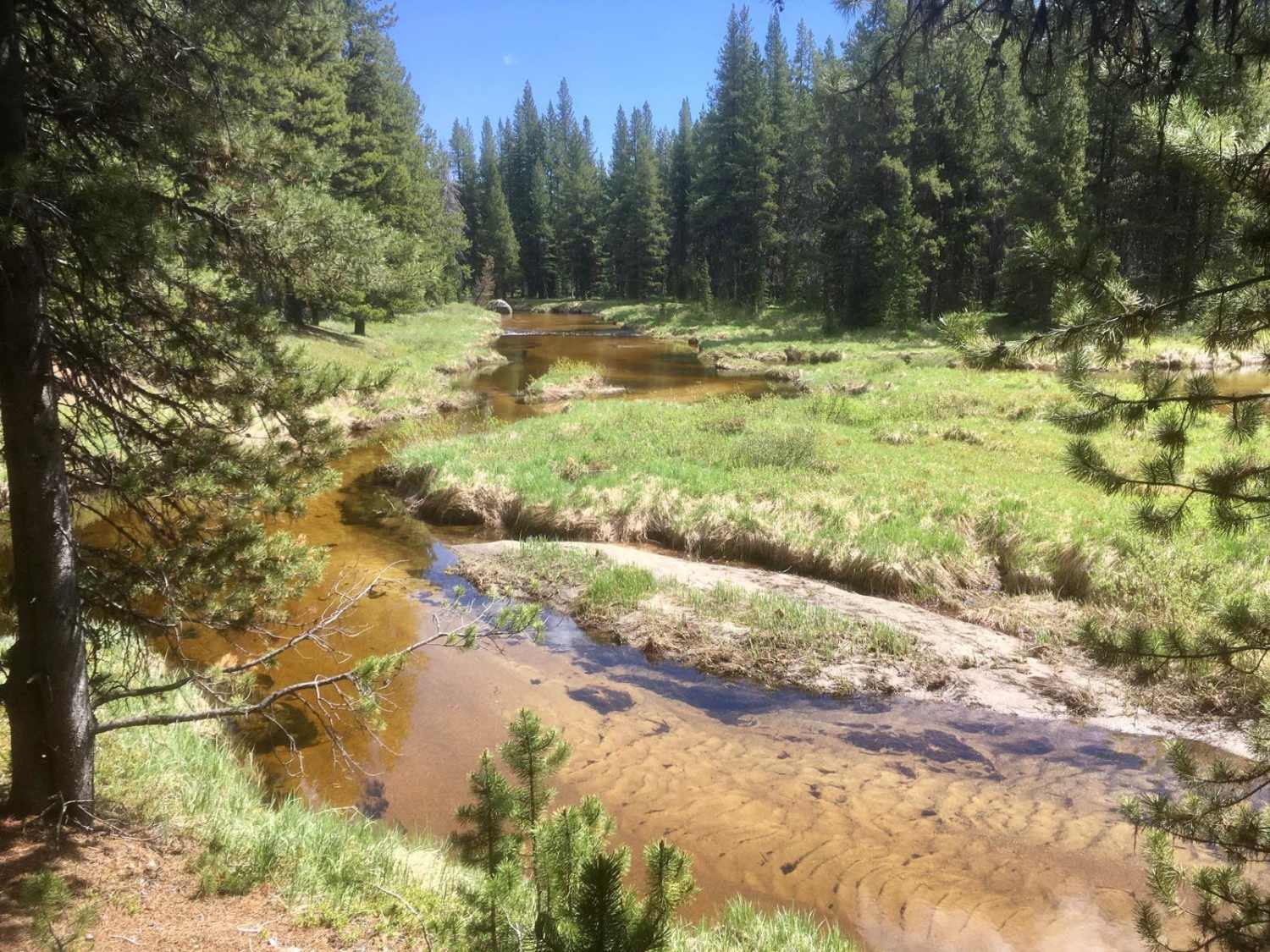
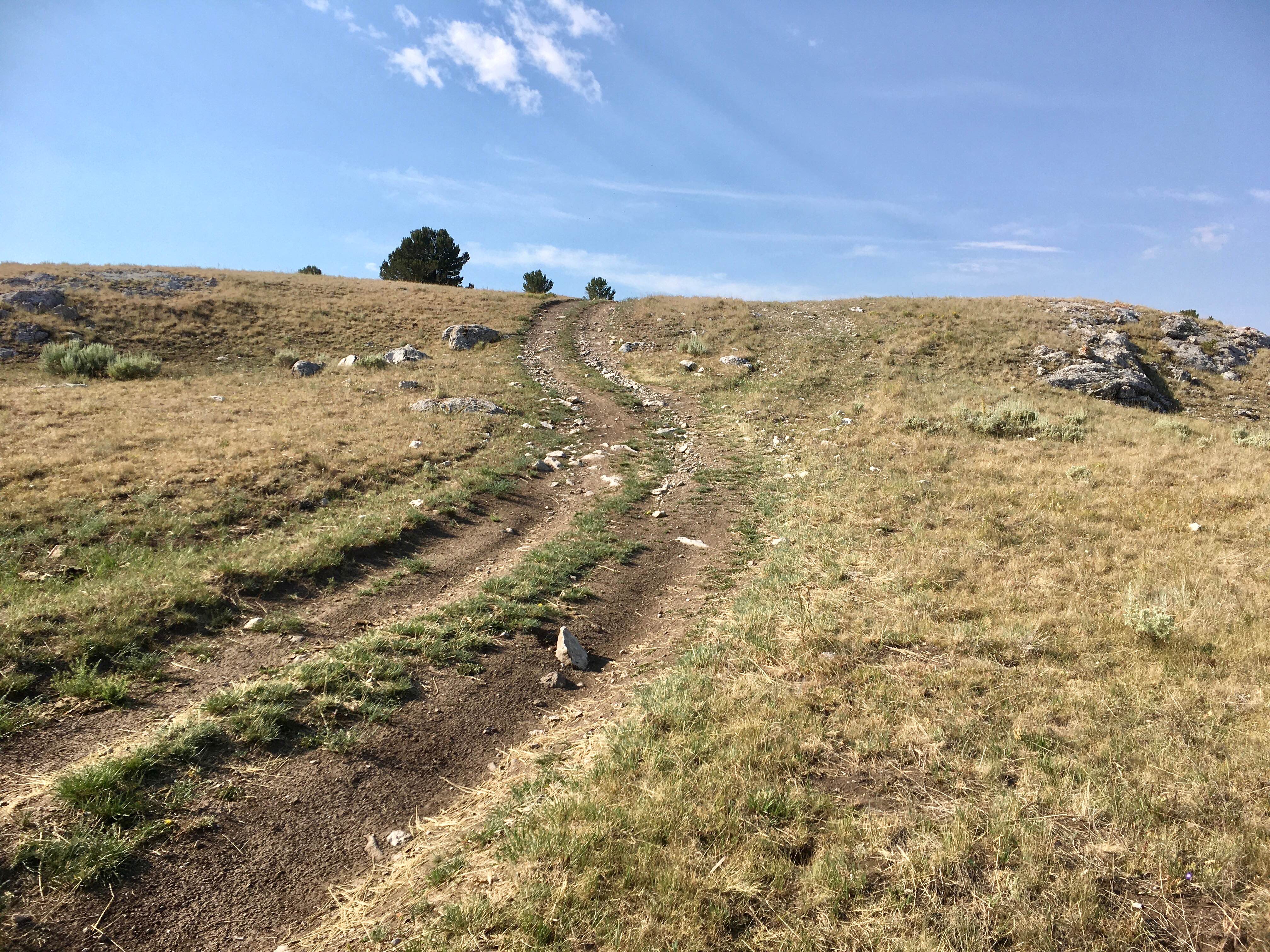
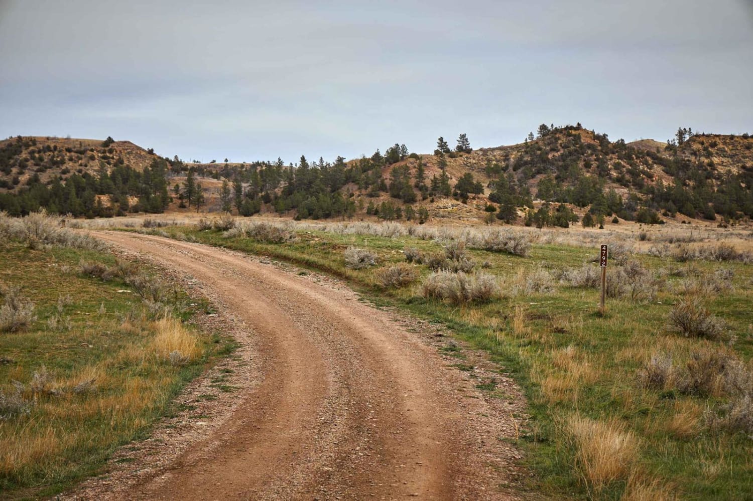
The West Fork Road, FS 5071, is a 6.9-mile one-lane gravel road that travels along the western boundary of the Sand Basin high in the Sapphire Mountains of Montana. The road travels through dense stands of lodgepole pines, alternating with spectacular views of mountain meadows and streams. While this road is relatively narrow in places, there are numerous pull-outs for passing oncoming traffic. There are several attractive dispersed campsites along the creek, peaceful and quiet, ideal for an overnight stay or a picnic lunch.
Photos of West Fork Road
Difficulty
This road has a very stable gravel surface and offers no technical difficulties.
History
There is no doubt that native Indians traveled across the Sapphire Divide for trade with neighboring tribes and were active all along the Sapphire Crest for summer hunting and spiritual activities. Being on a travel route with abundant game, it is highly likely the Sand Basin was utilized by the native populations. During the early mining days, miners explored Sand Basin for placer gold without much success. Loggers have long been active in the Basin, and it is a favored location for backcountry snowmobiling during the winter.
Status Reports
West Fork Road can be accessed by the following ride types:
- High-Clearance 4x4
- SUV
- SxS (60")
- ATV (50")
- Dirt Bike
West Fork Road Map
Popular Trails

Ashley Mountain
West Fork Ridge Road

Smith Ridge Glen Lake
Reanus Cone Trail Part 2
The onX Offroad Difference
onX Offroad combines trail photos, descriptions, difficulty ratings, width restrictions, seasonality, and more in a user-friendly interface. Available on all devices, with offline access and full compatibility with CarPlay and Android Auto. Discover what you’re missing today!