South Fork Flathead Creek
Total Miles
4.6
Technical Rating
Best Time
Summer, Fall
Trail Type
50" Trail
Accessible By
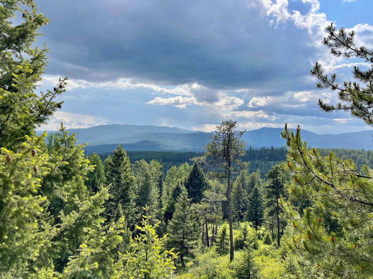
Trail Overview
This is a 4.5-mile-long ATV trail designated for vehicles 50" or less. It's overall very easy, but does have some sections that have a bit of a rocky surface. The rocks are just small loose rocks and nothing that significantly increases the difficulty. It goes through beautiful grassy valleys underneath the towering Bridger Mountains, which are a stunning sight. It also goes along grassy mountain slopes but doesn't have any exposure. It has several big hairpin curves, gradual switchbacks, and gradual slopes, but nothing too difficult for the novice ATV or dirt bike rider. This trail is open 6/16 - 12/1 for motorized use.
Photos of South Fork Flathead Creek

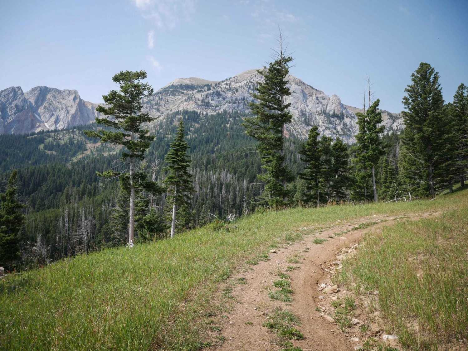
Difficulty
This is an easy ATV trail with no obstacles for the entire route.
Status Reports
South Fork Flathead Creek can be accessed by the following ride types:
- ATV (50")
- Dirt Bike
South Fork Flathead Creek Map
Popular Trails

Oregon Lakes Rd-State Line Rd

Mount High Peak
Axolotl Lakes Road
The onX Offroad Difference
onX Offroad combines trail photos, descriptions, difficulty ratings, width restrictions, seasonality, and more in a user-friendly interface. Available on all devices, with offline access and full compatibility with CarPlay and Android Auto. Discover what you’re missing today!