South Cottonwood
Total Miles
2.0
Technical Rating
Best Time
Spring, Summer, Fall
Trail Type
Full-Width Road
Accessible By
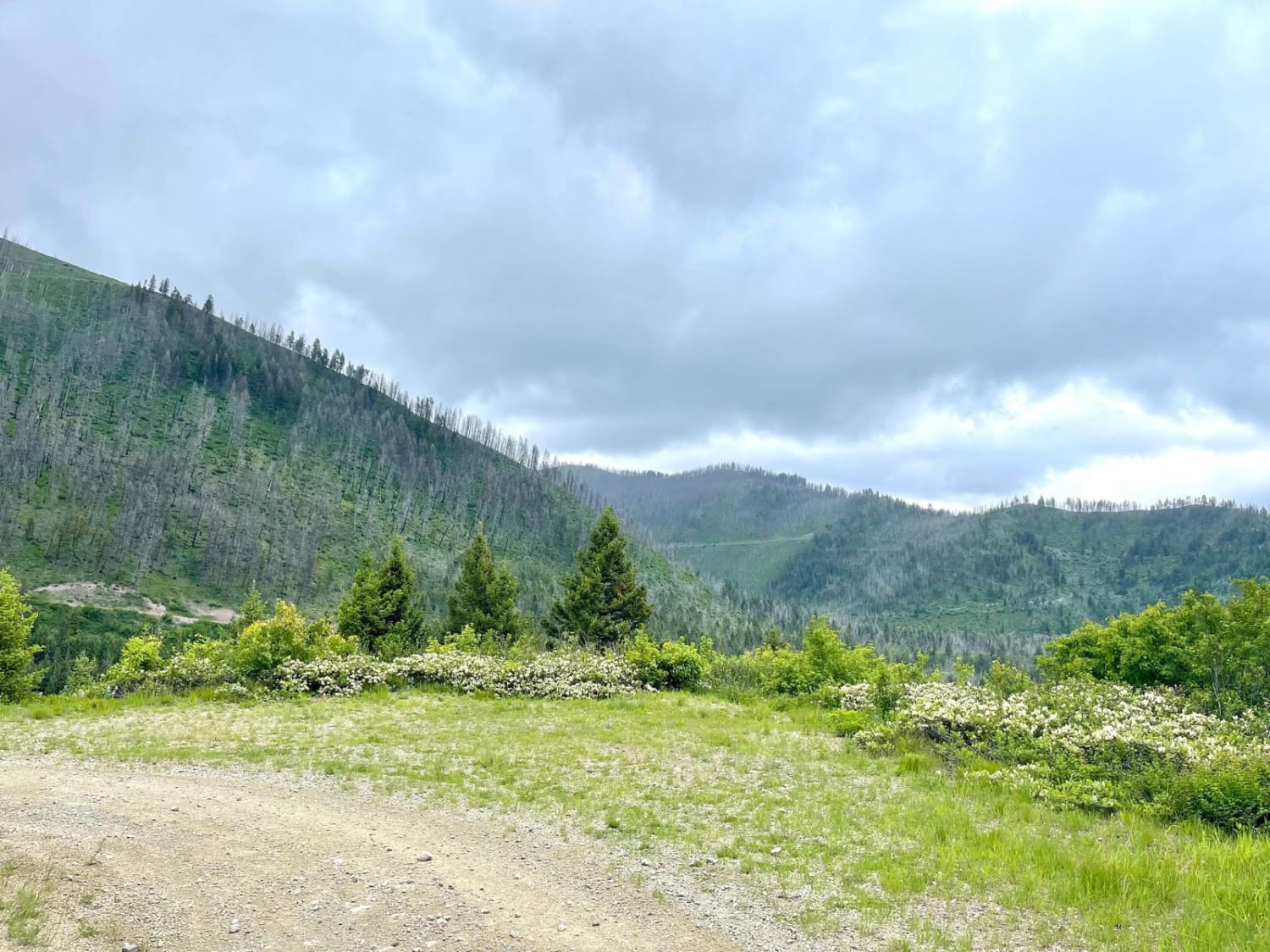
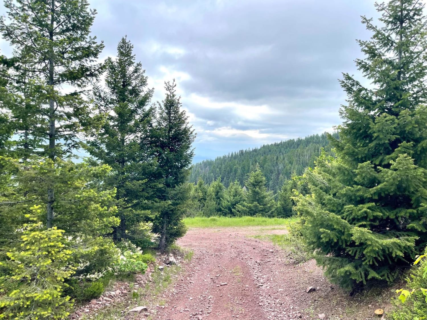
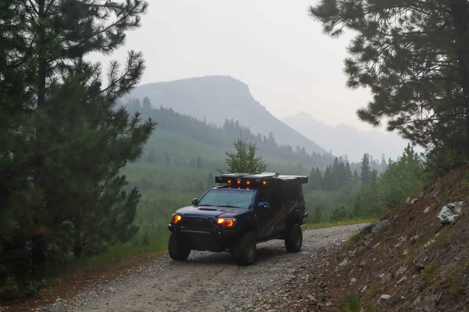
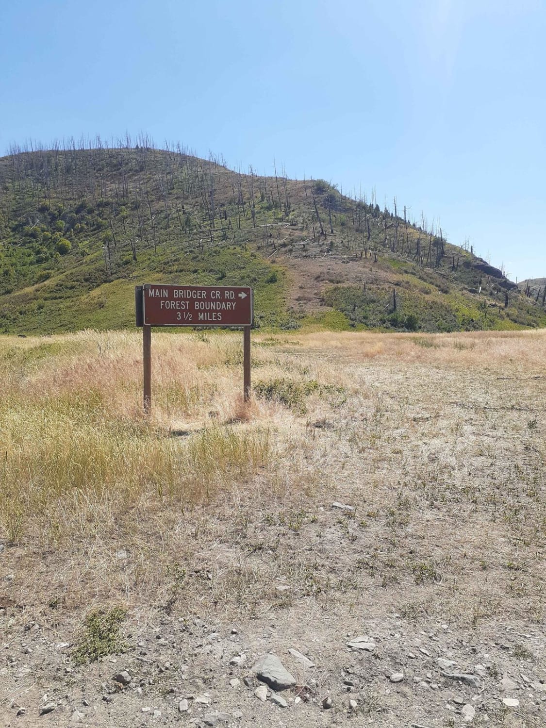
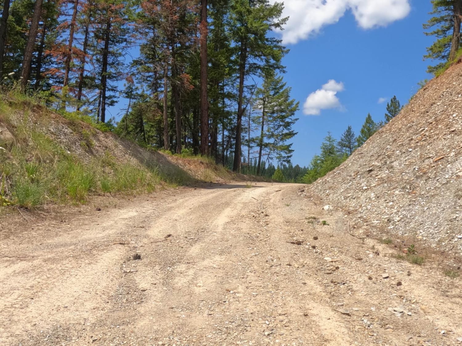
Trail Overview
This connector trail leads back out from or into Cottonwood Ridge. It has some steeper sections with loose rock, and some articulation may occur. Otherwise, it has the typical Montana forest road potholes full of mud and tight turns here and there. It's only wide enough for a single vehicle, but pullouts are scattered around for one of you to reverse should you encounter another vehicle head-on. There are a few larger pullouts that would make for excellent camping spots. As the trees clear occasionally, you are rewarded with spectacular views of the valley and surrounding mountains. There's no Verizon cell service and no winter maintenance, either. Seasonal closures may occur due to the gates in the area.
Photos of South Cottonwood
Difficulty
There are loose rocky turns and corners. The trail is overall narrow with occasional pullouts
Status Reports
South Cottonwood can be accessed by the following ride types:
- High-Clearance 4x4
- SUV
- SxS (60")
- ATV (50")
- Dirt Bike
South Cottonwood Map
Popular Trails

Cottonwood Creek Road - FS1012
Bridger Creek Cruise
Flat Creek Road - Pardee Creek Road
The onX Offroad Difference
onX Offroad combines trail photos, descriptions, difficulty ratings, width restrictions, seasonality, and more in a user-friendly interface. Available on all devices, with offline access and full compatibility with CarPlay and Android Auto. Discover what you’re missing today!