Coal Creek ATV/UTV
Total Miles
1.4
Technical Rating
Best Time
Summer, Fall, Spring
Trail Type
60" Trail
Accessible By
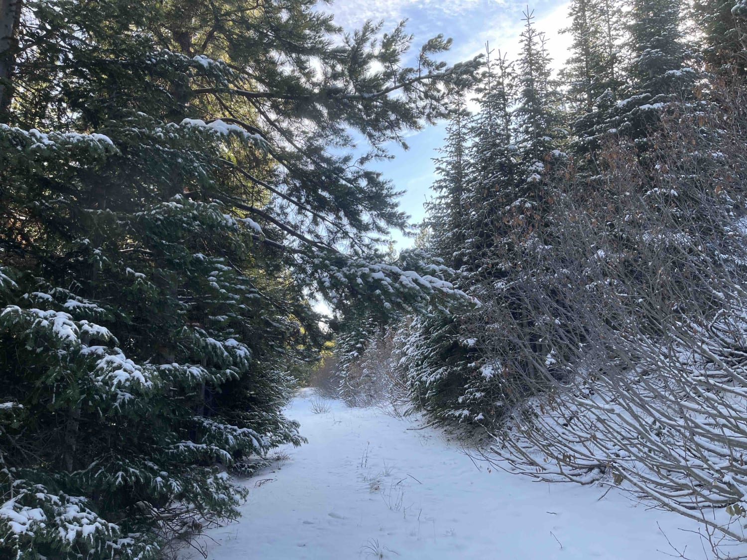
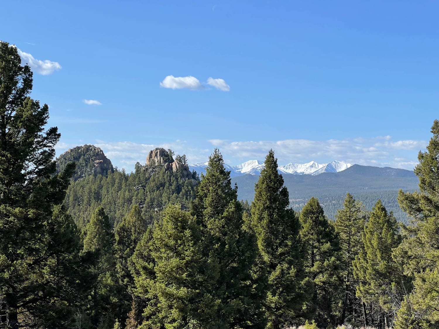
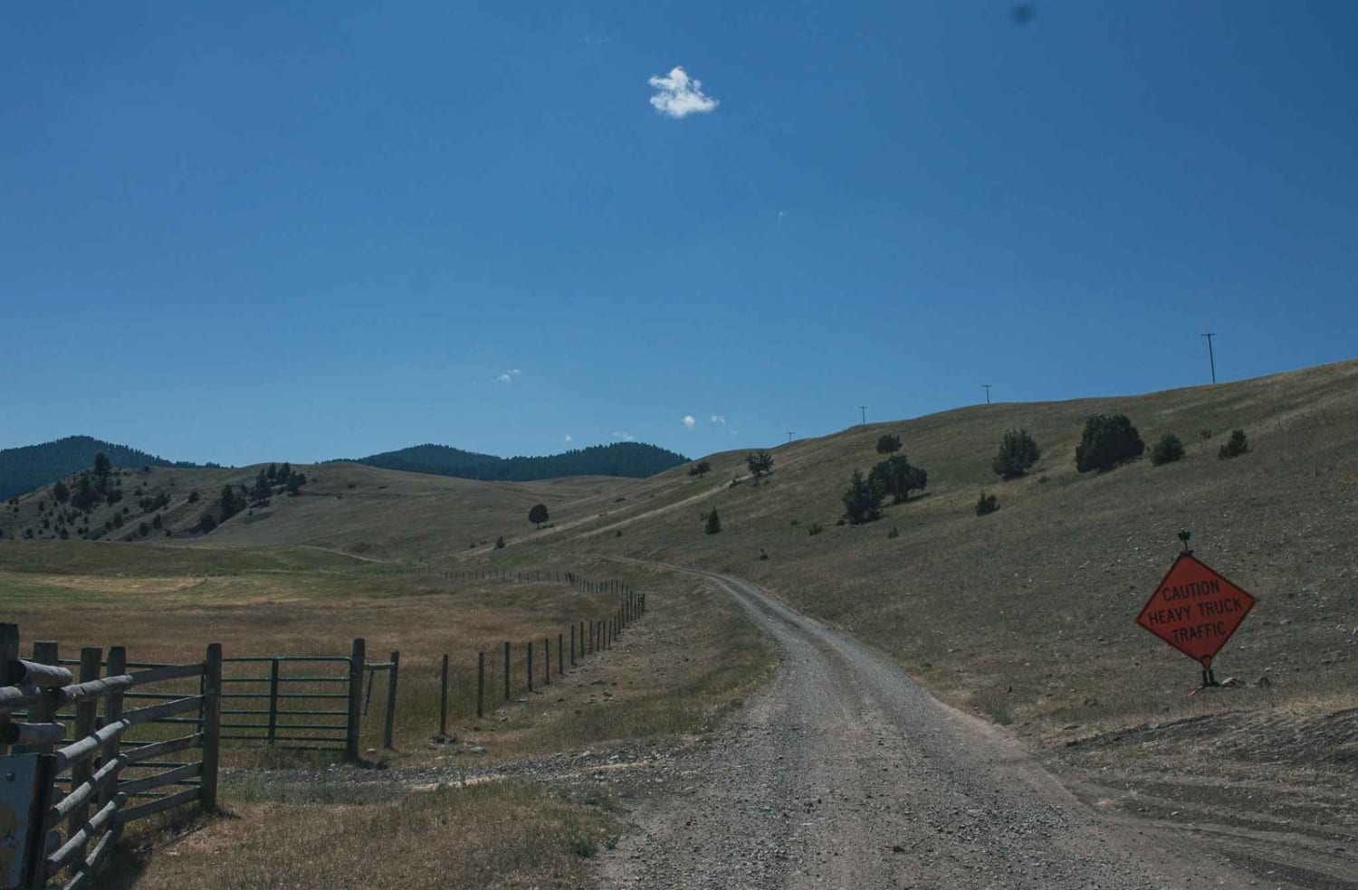
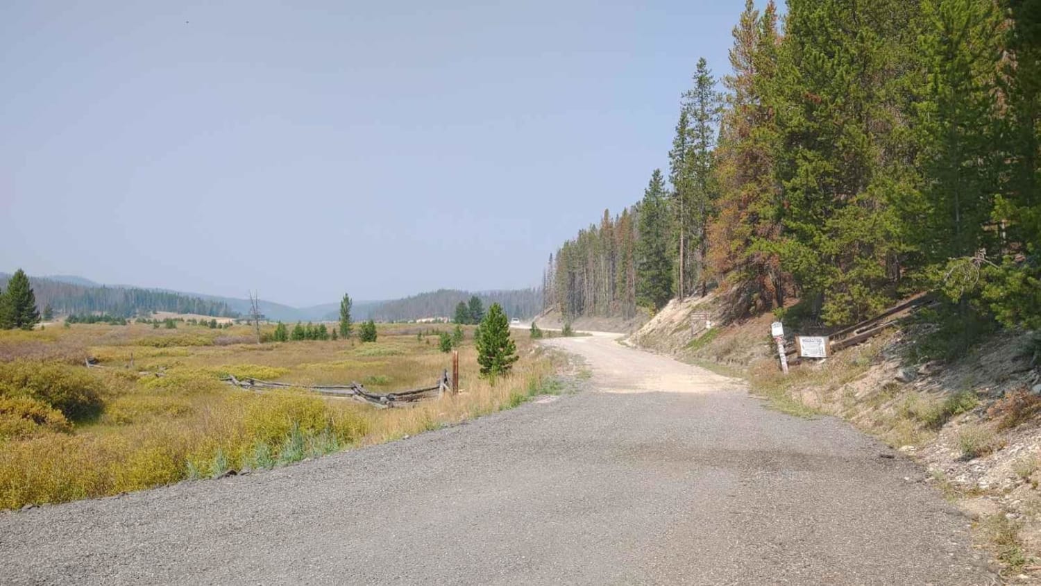
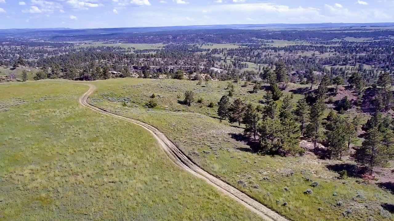
Trail Overview
The narrow trail is an out and back. Beautiful views of the surrounding mountains and valleys as you head up. Probably a good area for hunting. Saw deer and rabbit and coyote tracks. The road starts wide and narrows significantly at a dispersed camping spot. From then on there is not a lot of turnarounds or pullouts. The last half of the trail is very narrow and overgrown, may be impassable in winter. No cell service.
Photos of Coal Creek ATV/UTV

Difficulty
A single-lane trail with some pullouts narrows to a single UTV lane with no pullouts or turnarounds and is very overgrown. No Winter maintenance.
Coal Creek ATV/UTV can be accessed by the following ride types:
- SxS (60")
- ATV (50")
- Dirt Bike
Coal Creek ATV/UTV Map
Popular Trails
Spire Flat Track 8635
Bitterroot-Big Hole
Horsethief Recreation Area
The onX Offroad Difference
onX Offroad combines trail photos, descriptions, difficulty ratings, width restrictions, seasonality, and more in a user-friendly interface. Available on all devices, with offline access and full compatibility with CarPlay and Android Auto. Discover what you’re missing today!