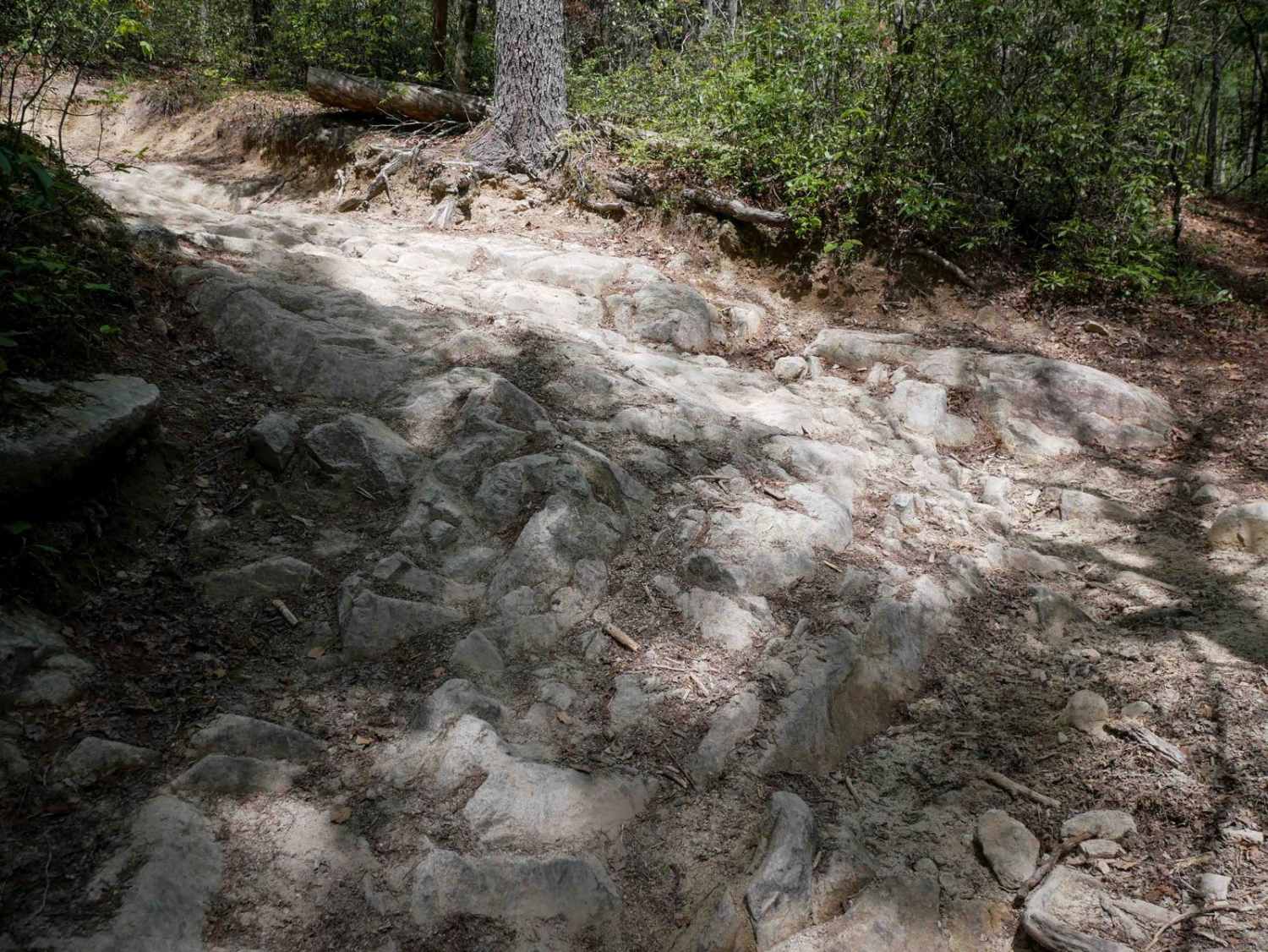
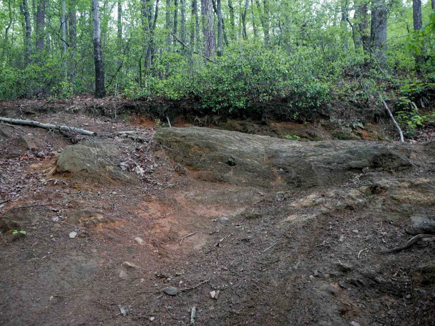
Off-Road Trails in North Carolina
Discover off-road trails in North Carolina
Learn more about Pettiford Creek Main Trail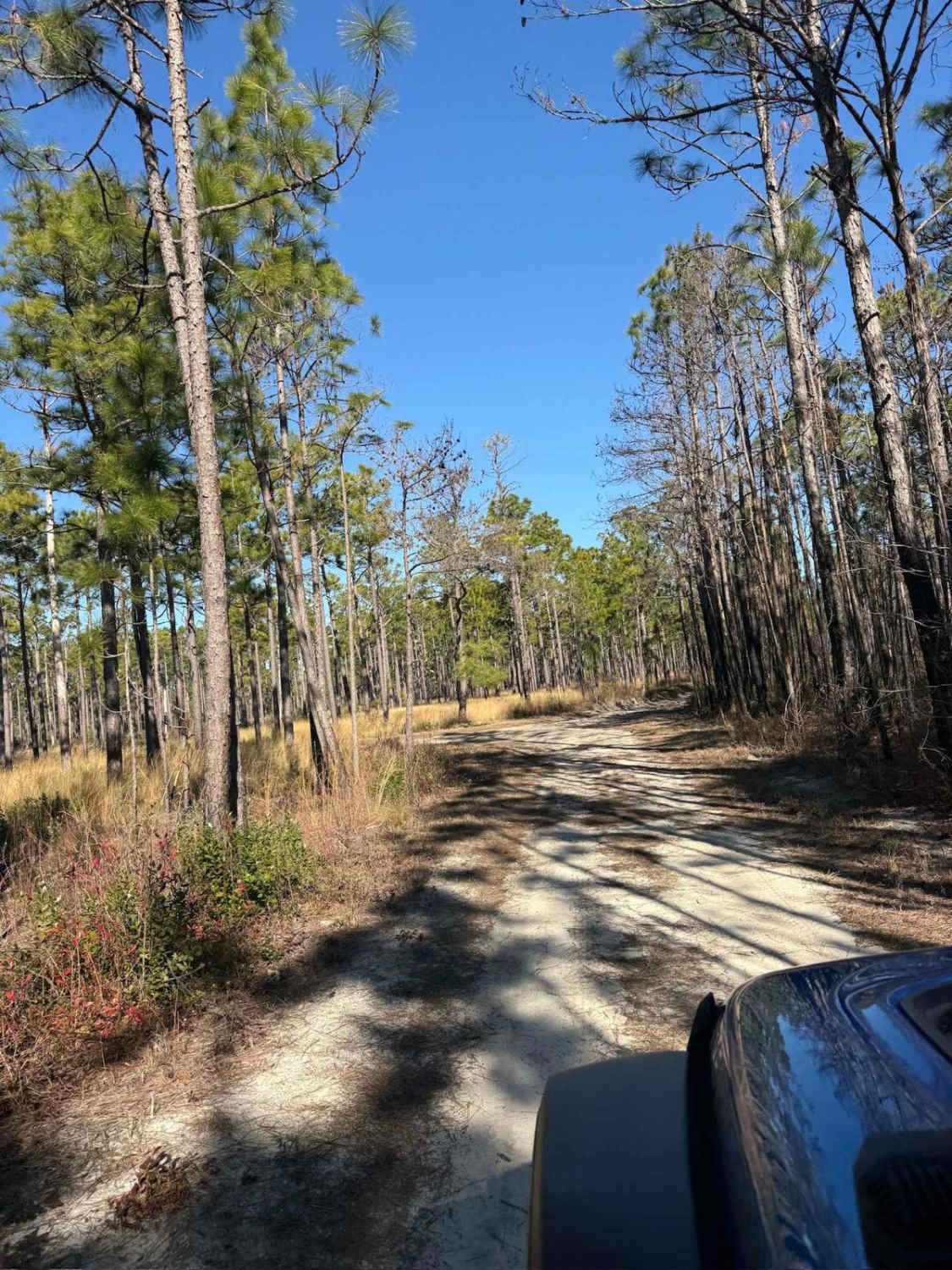
Pettiford Creek Main Trail
Total Miles
1.3
Tech Rating
Easy
Best Time
Spring, Summer, Fall
Learn more about Pettiford Creek Trail 1
Pettiford Creek Trail 1
Total Miles
0.7
Tech Rating
Easy
Best Time
Spring, Summer, Fall
Learn more about Pettiford Creek Trail 10
Pettiford Creek Trail 10
Total Miles
0.6
Tech Rating
Easy
Best Time
Spring, Summer, Fall
Learn more about Pettiford Creek Trail 11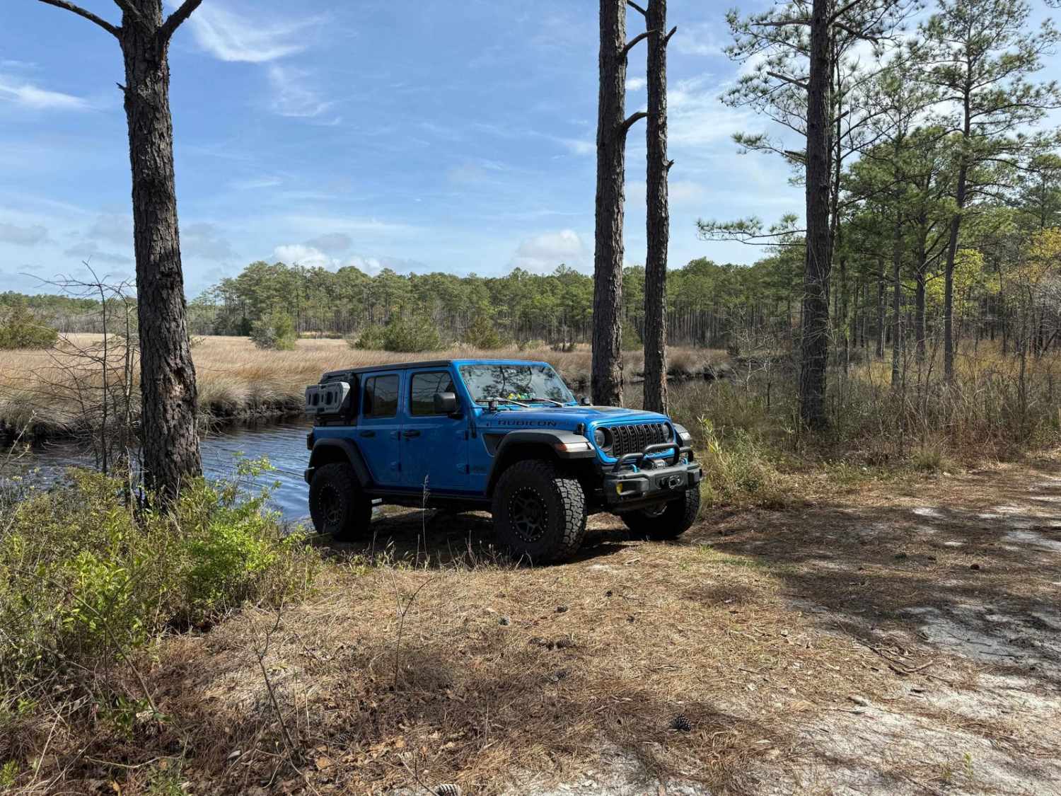
Pettiford Creek Trail 11
Total Miles
0.4
Tech Rating
Easy
Best Time
Spring, Summer, Fall
Learn more about Pettiford Creek Trail 13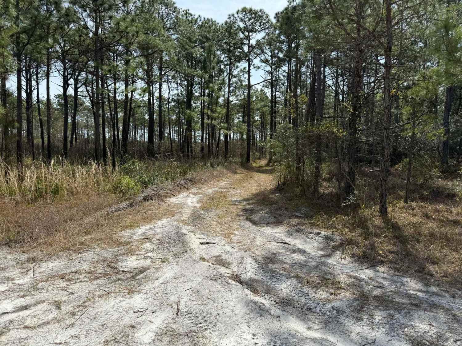
Pettiford Creek Trail 13
Total Miles
0.8
Tech Rating
Easy
Best Time
Spring, Summer, Fall
Learn more about Pettiford Creek Trail 14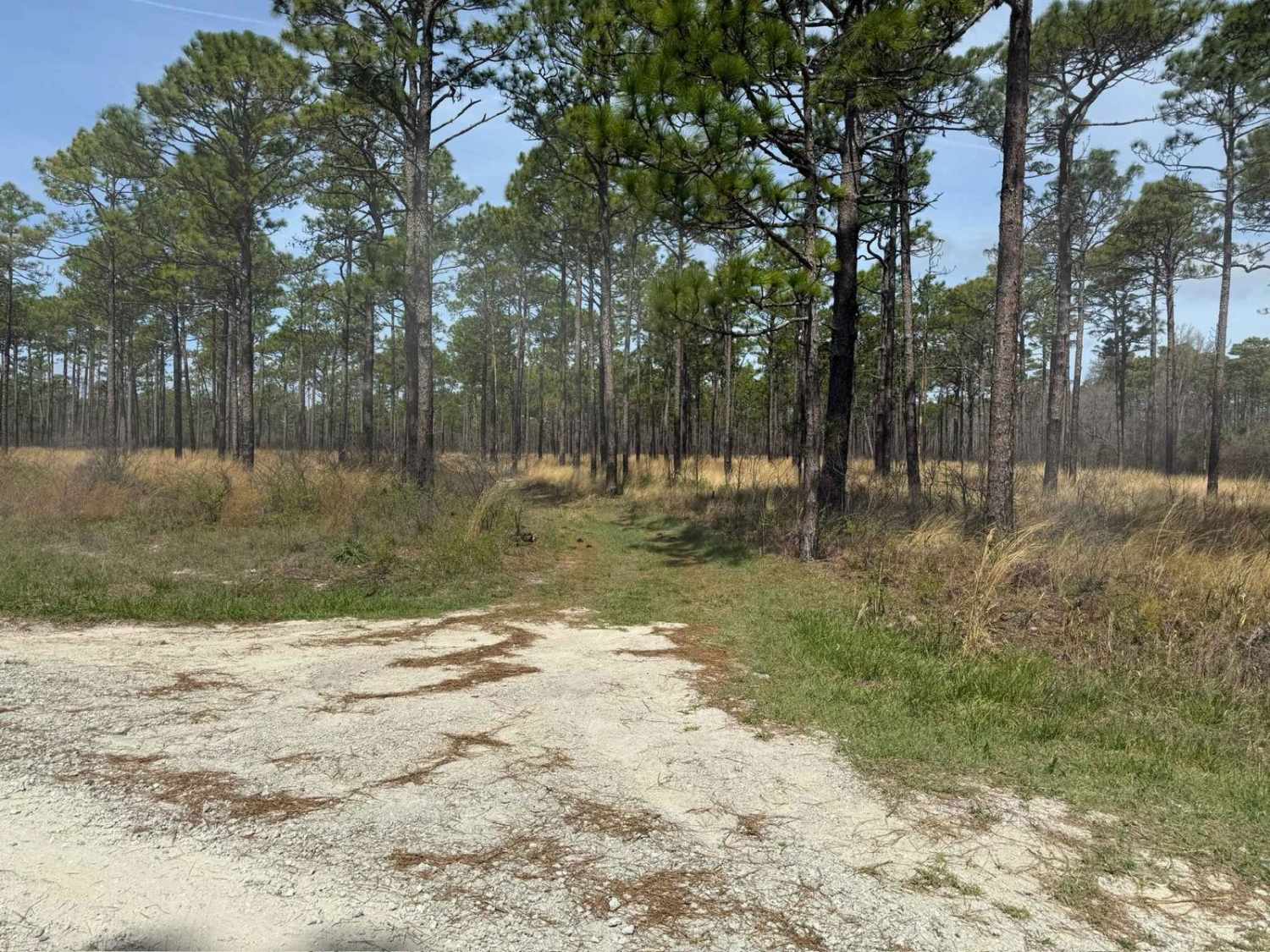
Pettiford Creek Trail 14
Total Miles
0.4
Tech Rating
Easy
Best Time
Fall, Summer, Spring
Learn more about Pettiford Creek Trail 2
Pettiford Creek Trail 2
Total Miles
0.6
Tech Rating
Easy
Best Time
Spring, Summer, Fall
Learn more about Pettiford Creek Trail 3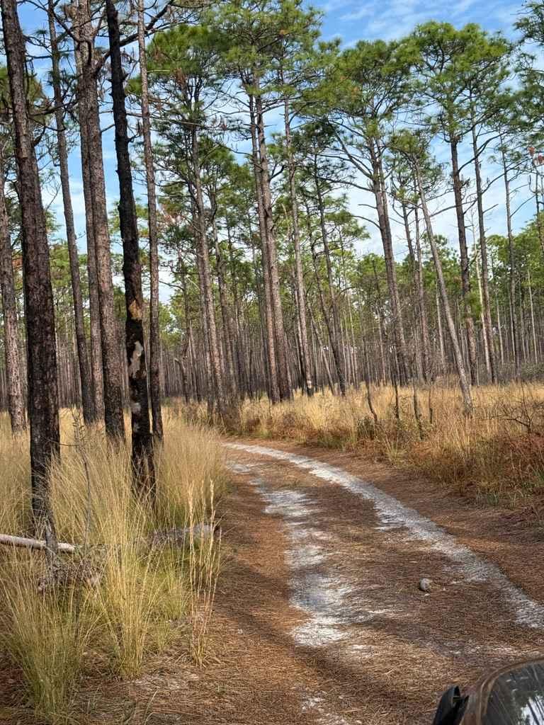
Pettiford Creek Trail 3
Total Miles
0.4
Tech Rating
Easy
Best Time
Spring, Summer, Fall
Learn more about Pettiford Creek Trail 6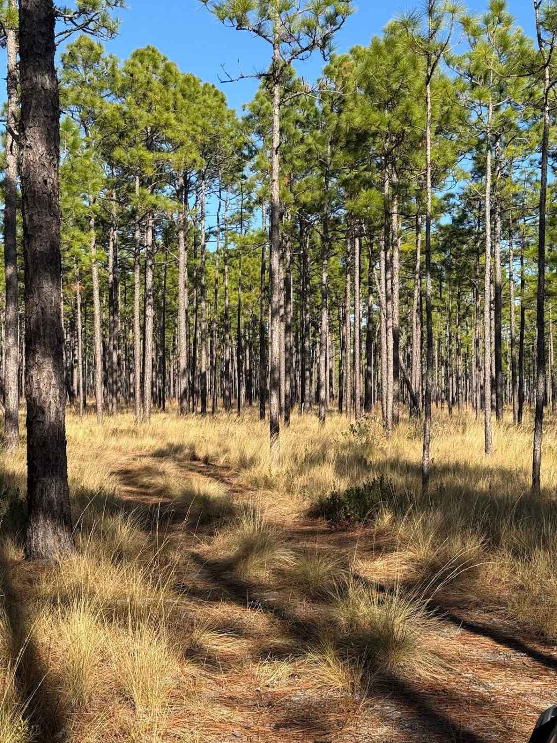
Pettiford Creek Trail 6
Total Miles
0.6
Tech Rating
Easy
Best Time
Spring, Summer, Fall
Learn more about Pettiford Creek Trail 7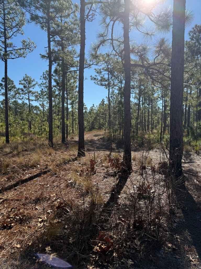
Pettiford Creek Trail 7
Total Miles
0.3
Tech Rating
Easy
Best Time
Fall, Summer, Spring
Learn more about Pettiford Creek Trail 8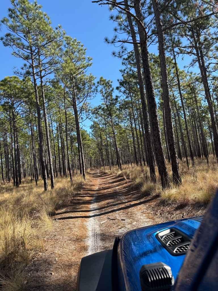
Pettiford Creek Trail 8
Total Miles
0.2
Tech Rating
Easy
Best Time
Spring, Summer, Fall
Learn more about Pettiford Creek Trail 9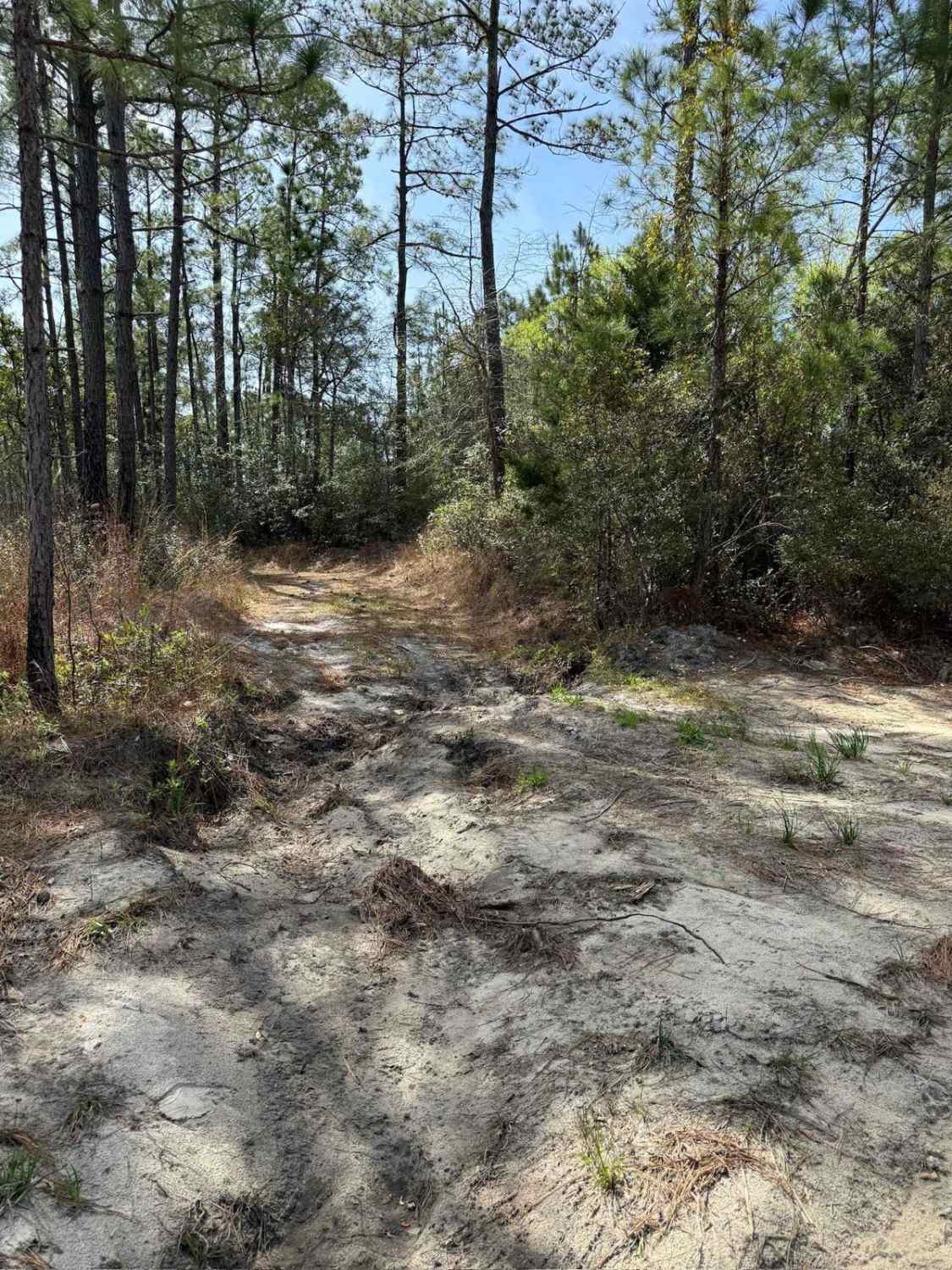
Pettiford Creek Trail 9
Total Miles
1.0
Tech Rating
Easy
Best Time
Spring, Summer, Fall
Learn more about Pettiford Creek West Entrance
Pettiford Creek West Entrance
Total Miles
1.6
Tech Rating
Easy
Best Time
Spring, Summer, Fall
Learn more about Pineola Road - FS 464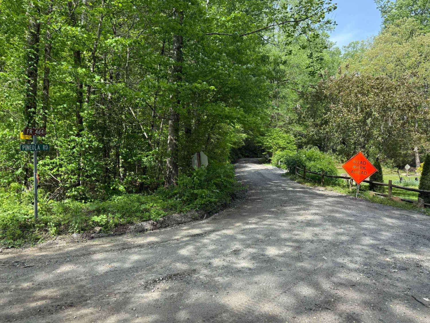
Pineola Road - FS 464
Total Miles
9.3
Tech Rating
Easy
Best Time
Spring, Summer, Fall
Learn more about Pinicale Mt Rd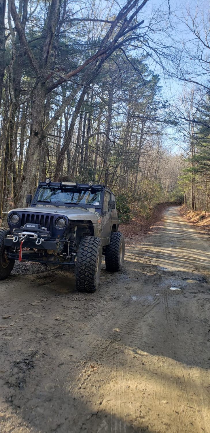
Pinicale Mt Rd
Total Miles
10.2
Tech Rating
Easy
Best Time
Spring, Summer, Fall, Winter
Learn more about Pinnacle - SCAR Alternate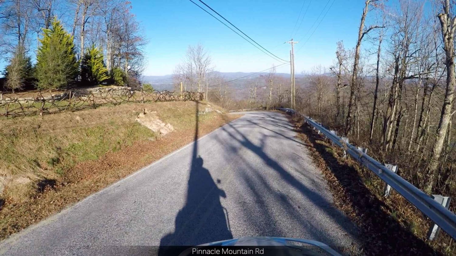
Pinnacle - SCAR Alternate
Total Miles
20.5
Tech Rating
Easy
Best Time
Spring, Summer, Fall, Winter
Learn more about Pocosin Lakes National Wildlife Refuge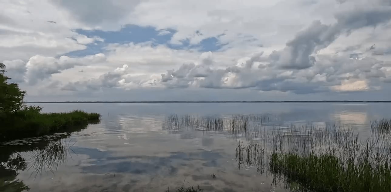
Pocosin Lakes National Wildlife Refuge
Total Miles
32.4
Tech Rating
Easy
Best Time
Spring, Summer
Learn more about Pond Mountain Game Land Access Road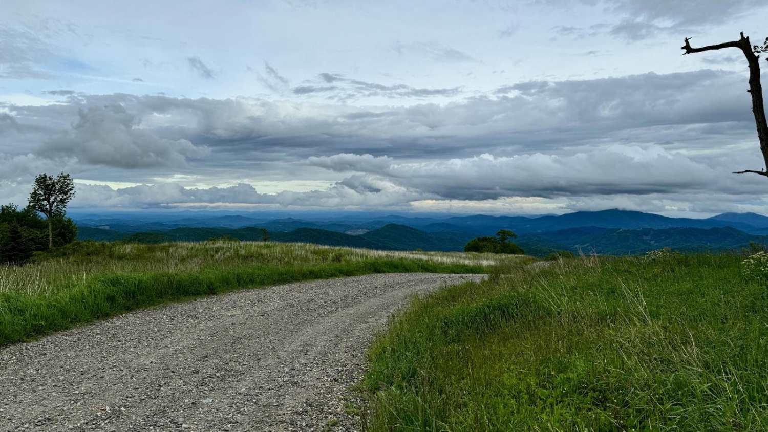
Pond Mountain Game Land Access Road
Total Miles
1.5
Tech Rating
Easy
Best Time
Spring, Summer, Fall, Winter
Learn more about Porterfield Gap Road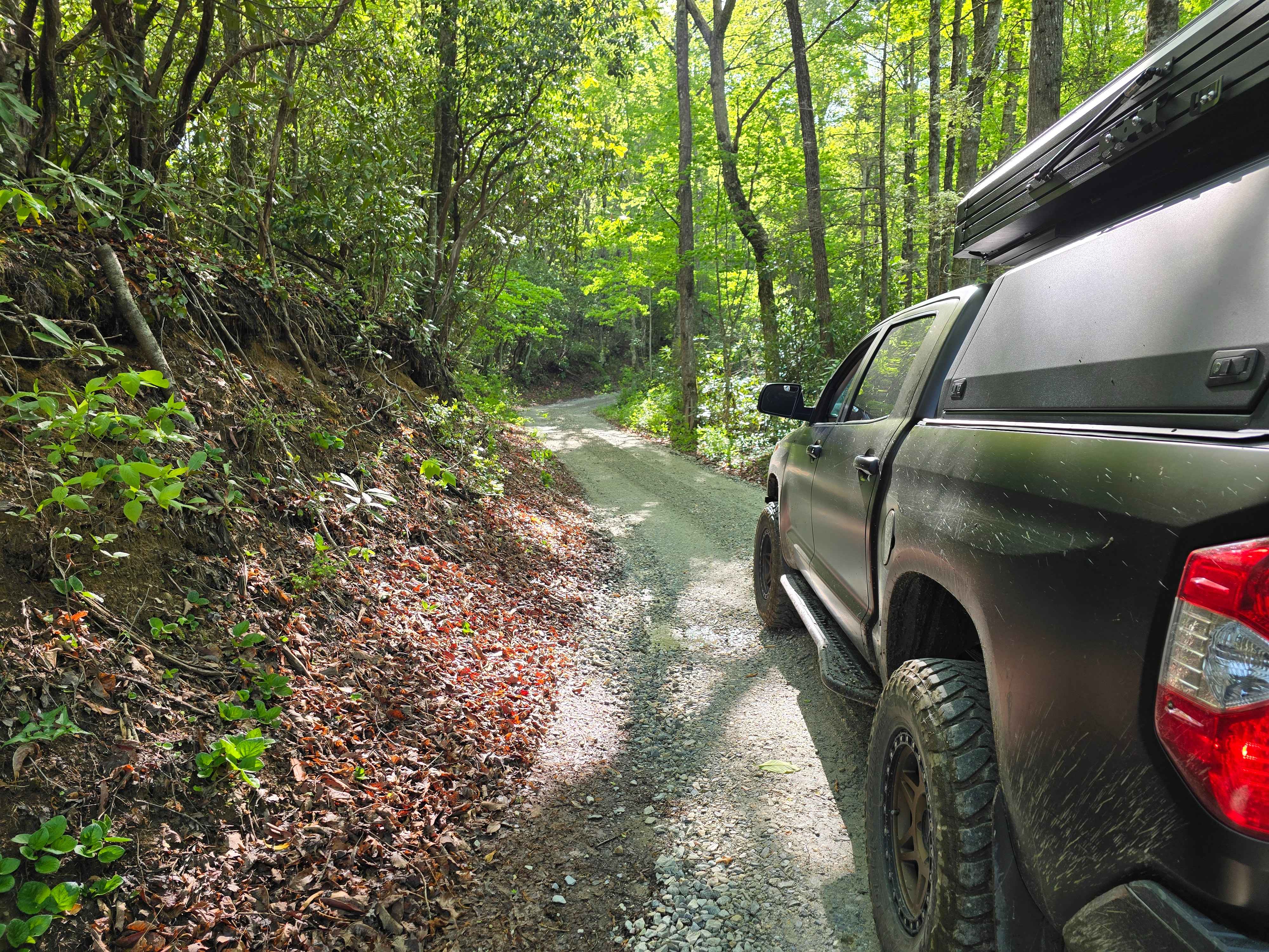
Porterfield Gap Road
Total Miles
1.0
Tech Rating
Easy
Best Time
Spring, Summer, Fall, Winter
Learn more about Pringle Road - FS 123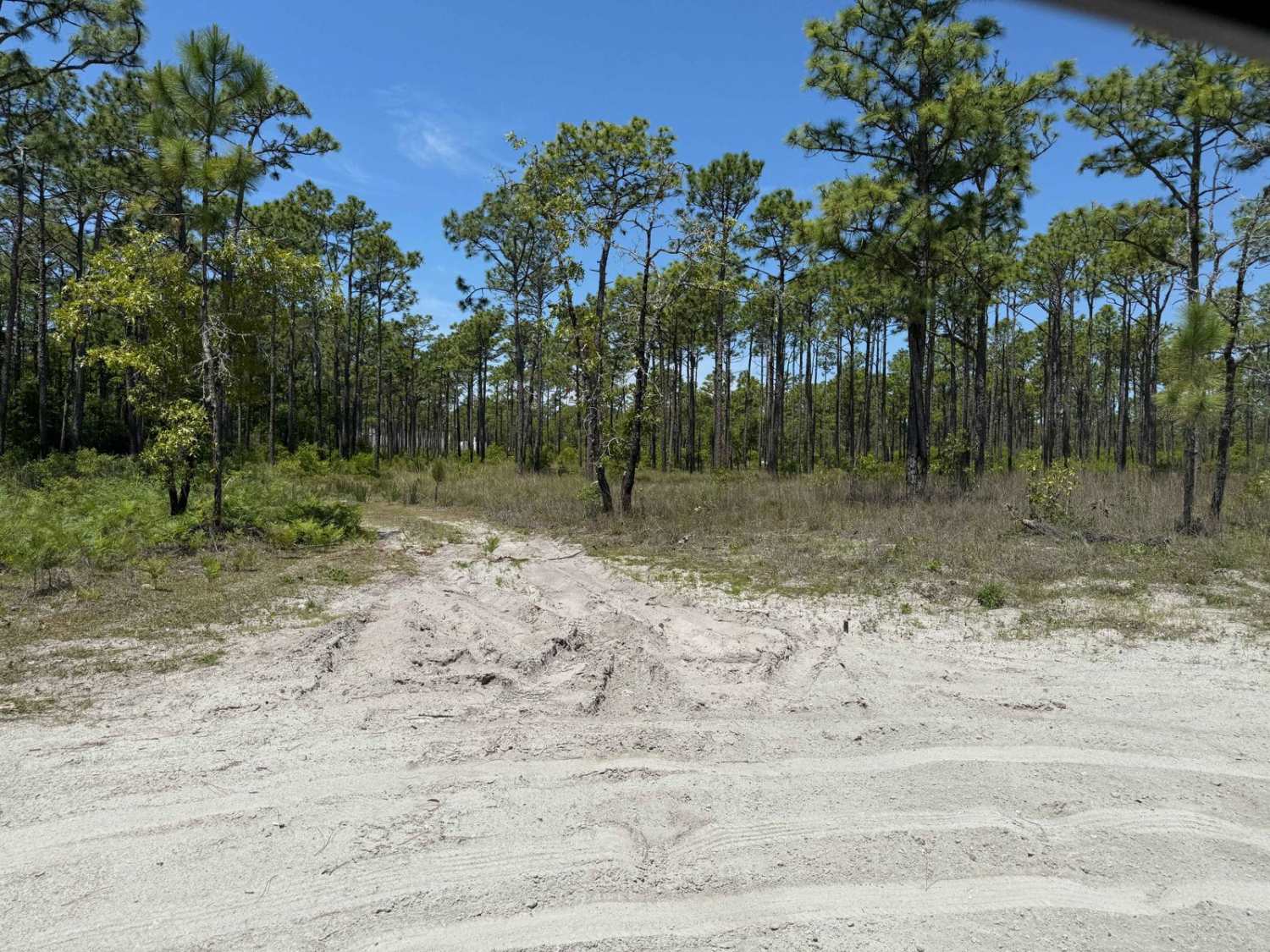
Pringle Road - FS 123
Total Miles
3.7
Tech Rating
Easy
Best Time
Spring, Fall, Summer
ATV trails in North Carolina

Learn more about 1B Shortcut 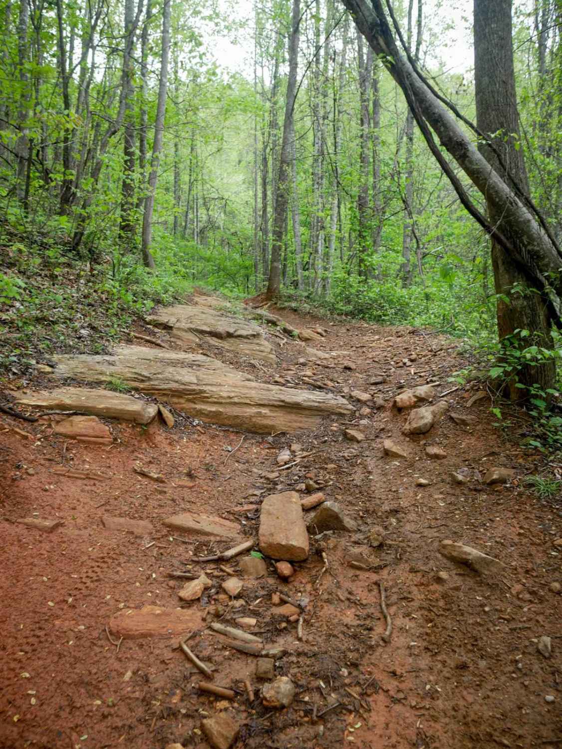
1B Shortcut
Total Miles
0.2
Tech Rating
Easy
Best Time
Spring, Fall, Summer, Winter
UTV/side-by-side trails in North Carolina
Learn more about 1B Shortcut
1B Shortcut
Total Miles
0.2
Tech Rating
Easy
Best Time
Spring, Fall, Summer, Winter
Learn more about 1B Upper
1B Upper
Total Miles
0.3
Tech Rating
Moderate
Best Time
Spring, Fall, Summer, Winter
The onX Offroad Difference
onX Offroad combines trail photos, descriptions, difficulty ratings, width restrictions, seasonality, and more in a user-friendly interface. Available on all devices, with offline access and full compatibility with CarPlay and Android Auto. Discover what you’re missing today!