Pettiford Creek Trail 7
Total Miles
0.3
Technical Rating
Best Time
Fall, Summer, Spring
Trail Type
Full-Width Road
Accessible By
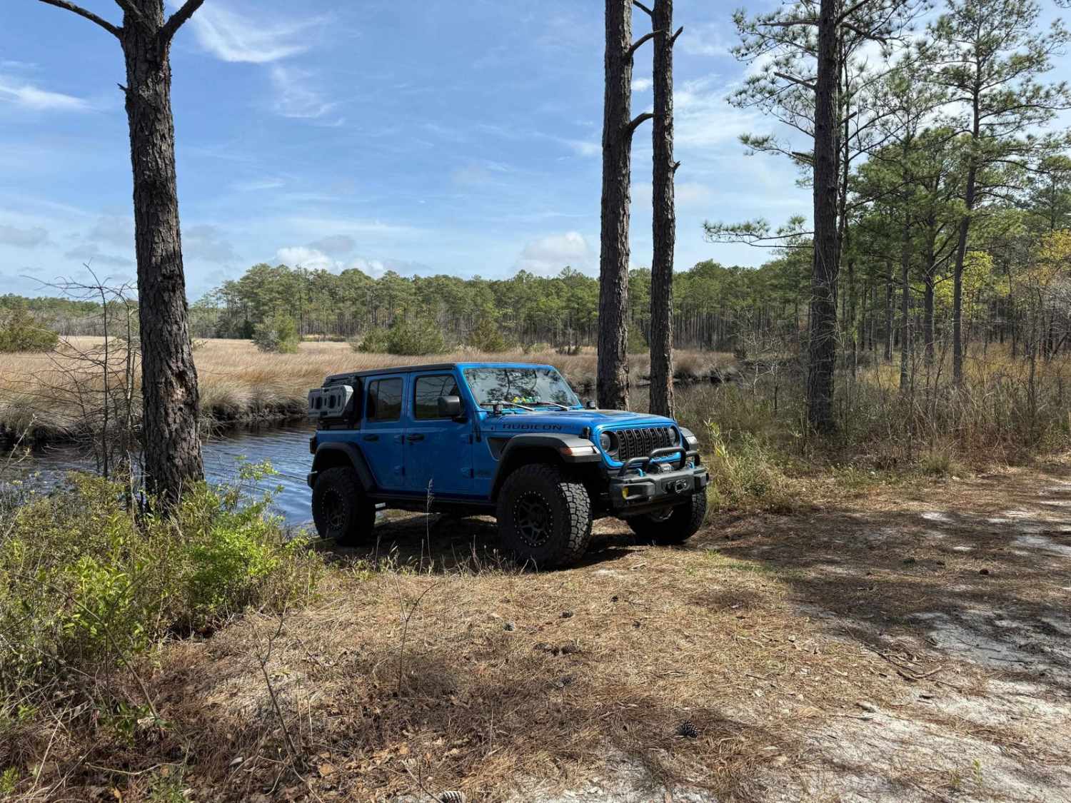
Trail Overview
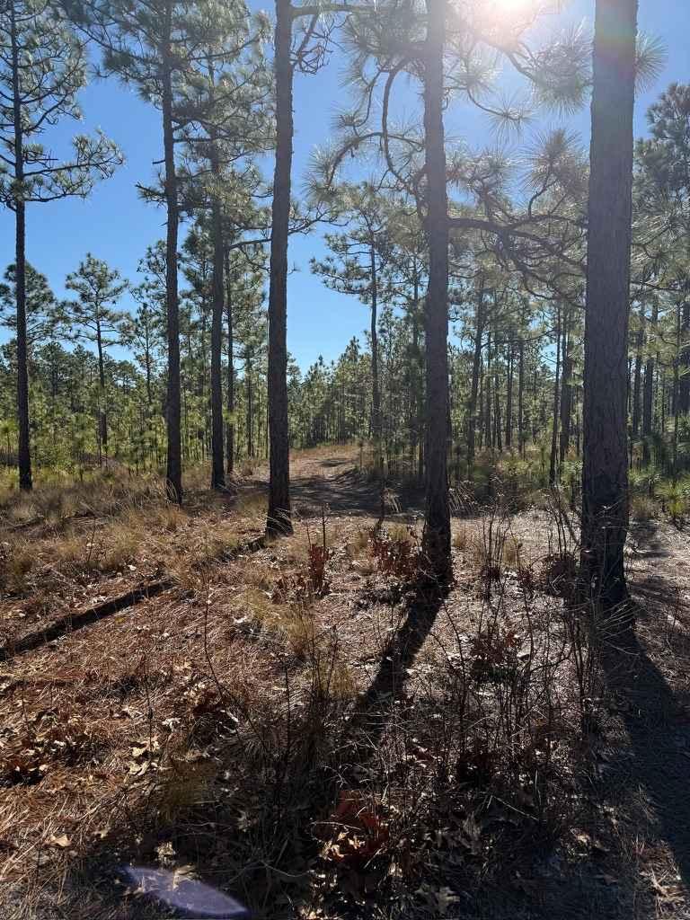
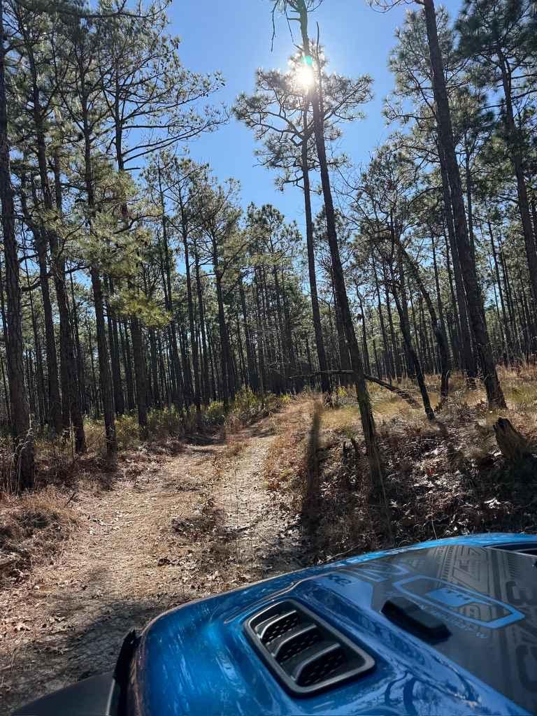
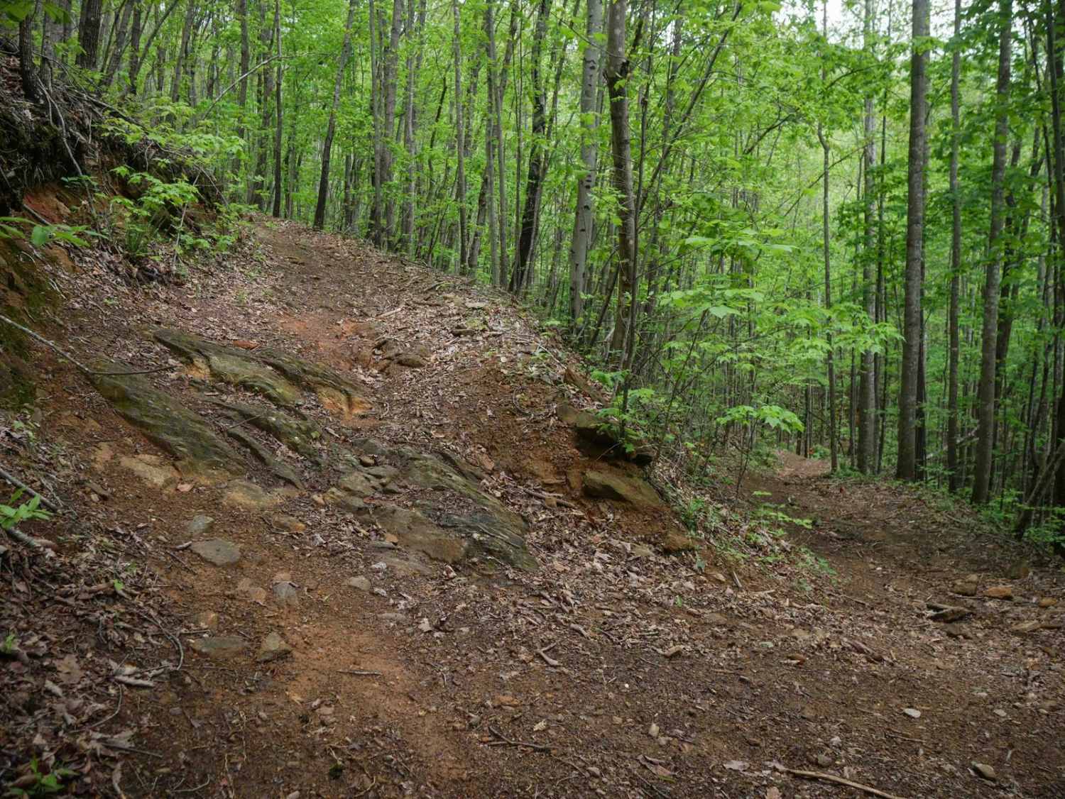
Branch 7 is a continuation of Pettiford Creek Trail 6 and the Pettiford Creek Eastern Entrance. It's slightly tighter and muddier than Trail 6, offering a bit more of a challenge. A mud hole mid-trail can vary from a few inches deep to around 10 inches, depending on rainfall. At the end, a short but very narrow water crossing awaits--expect pinstriping for wider vehicles. Water depth typically ranges from 10 to 20 inches, making this section the most technical part of the trail.
Photos of Pettiford Creek Trail 7
Difficulty
Most of the trail is relatively easy, with packed sand and pine needles making up the majority of the surface. However, there is a mud pit along the route that usually sits at a few inches deep but can reach up to 10 inches after heavy rain, potentially creating a challenge for some vehicles.
Status Reports
Pettiford Creek Trail 7 can be accessed by the following ride types:
- High-Clearance 4x4
- SUV
Pettiford Creek Trail 7 Map
Popular Trails
Ephraim Road - FS 5583
Brown Mountain Trail 8
Pettiford Creek Trail 11
The onX Offroad Difference
onX Offroad combines trail photos, descriptions, difficulty ratings, width restrictions, seasonality, and more in a user-friendly interface. Available on all devices, with offline access and full compatibility with CarPlay and Android Auto. Discover what you’re missing today!