Buzzard Roost Road
Total Miles
11.2
Technical Rating
Best Time
Spring, Summer, Fall
Trail Type
Full-Width Road
Accessible By
Trail Overview
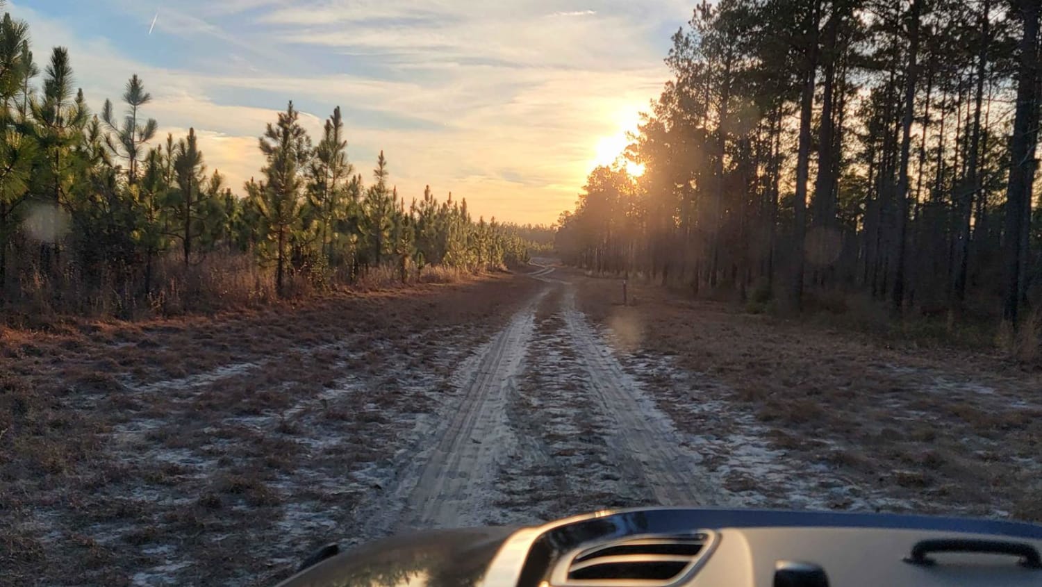
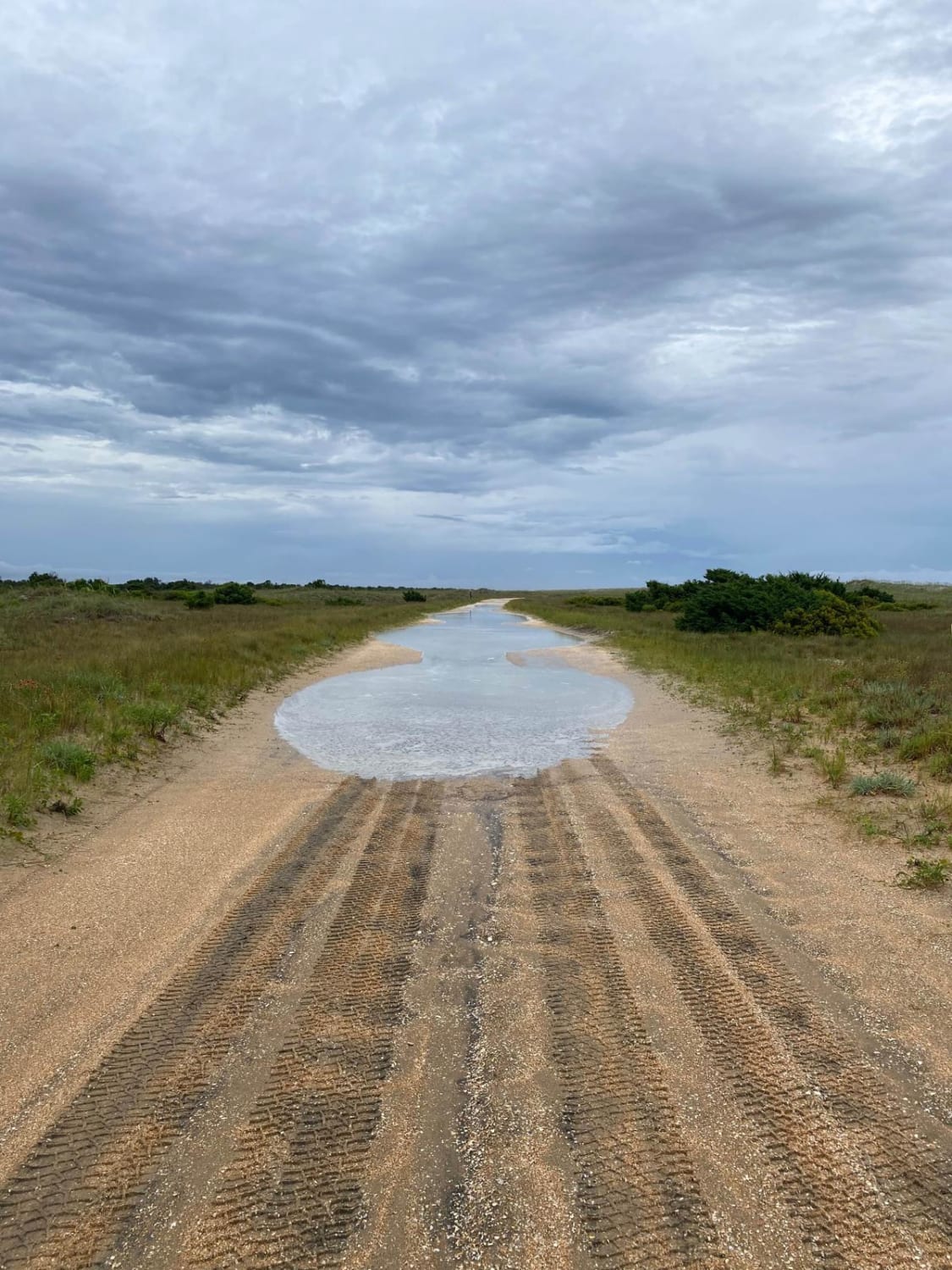
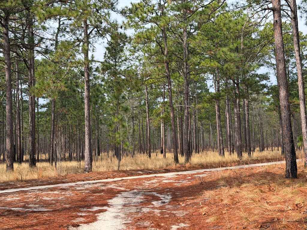
While less exciting in terrain than the closely named Old Buzzard Roost Road, this route has some fantastic views and other exciting features. The road is mostly gravel, with a few sections holding water or small washouts. You can travel the Southern terminus up towards the ridgeline and trace along the cliff line. The namesake Buzzard Roost Overlook is marked by some unfortunate graffiti on a tree, so it's easy to miss. However, if you carefully venture out to the edge of the cliff, you'll be rewarded with expansive views of the valley below, the Pigeon River, and even I40. Continuing to the Northeast, you'll quickly descend toward the Pigeon River. Along the way, you'll pass several campsites. Just before you return to I40, the concrete bridge passes over the Pigeon River. Take caution after heavy rains; this bridge can be submerged. Cell service is available at higher elevations, but only count on it for part of the route.
Photos of Buzzard Roost Road


Difficulty
The route is mostly gravel but a few sections are rougher and washouts are possible, especially after heavy rains. It's wide enough for two vehicles in all but a few spots.
Status Reports
Buzzard Roost Road can be accessed by the following ride types:
- High-Clearance 4x4
- SUV
Buzzard Roost Road Map
Popular Trails
Chowan Game Lands - Bear Spotter

Pettiford Creek Eastern Entrances
South Core Banks - Back Road
Carpenter Road
The onX Offroad Difference
onX Offroad combines trail photos, descriptions, difficulty ratings, width restrictions, seasonality, and more in a user-friendly interface. Available on all devices, with offline access and full compatibility with CarPlay and Android Auto. Discover what you’re missing today!