Pettiford Creek Trail 9
Total Miles
1.0
Technical Rating
Best Time
Spring, Summer, Fall
Trail Type
Full-Width Road
Accessible By
Trail Overview
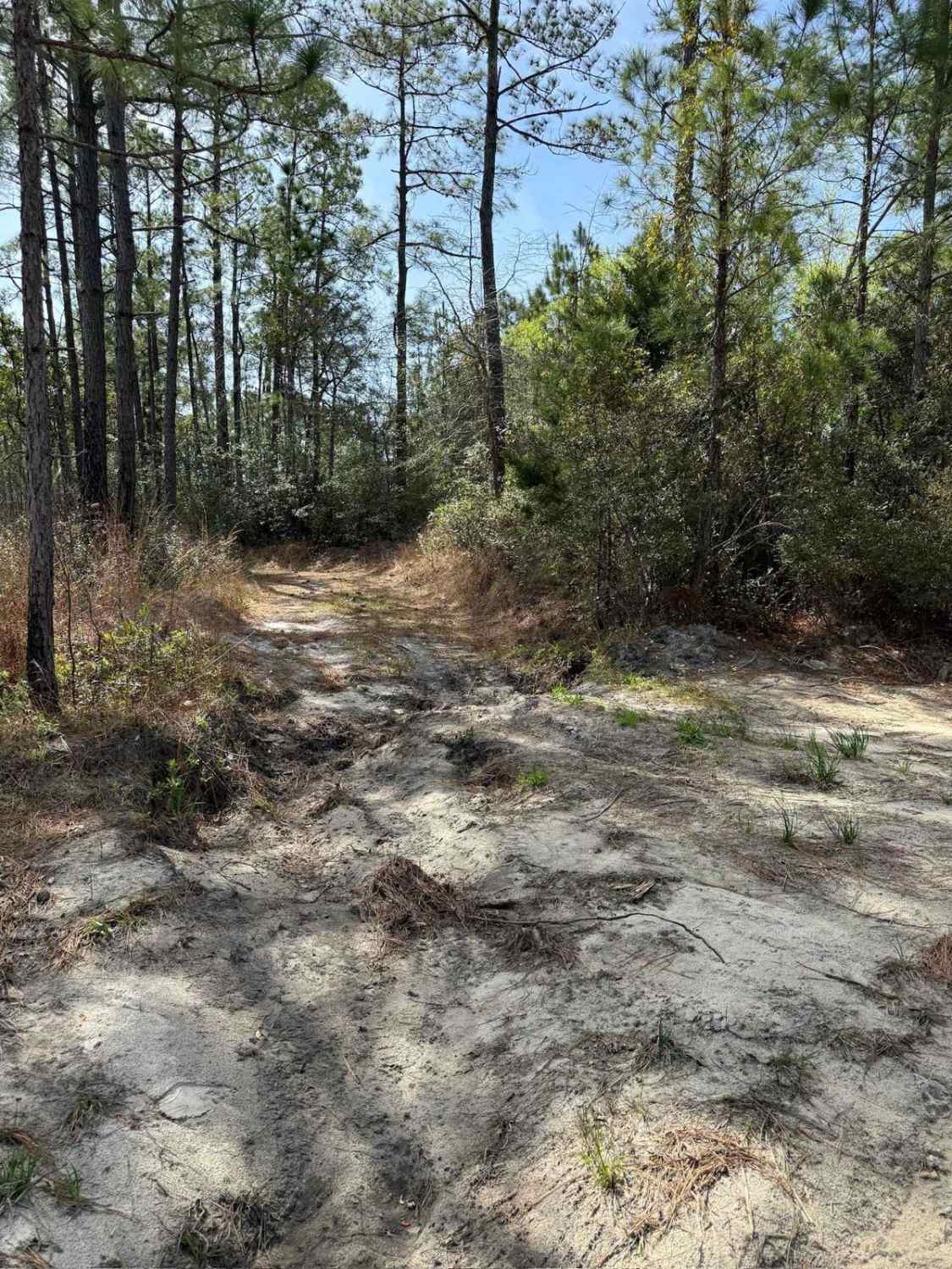
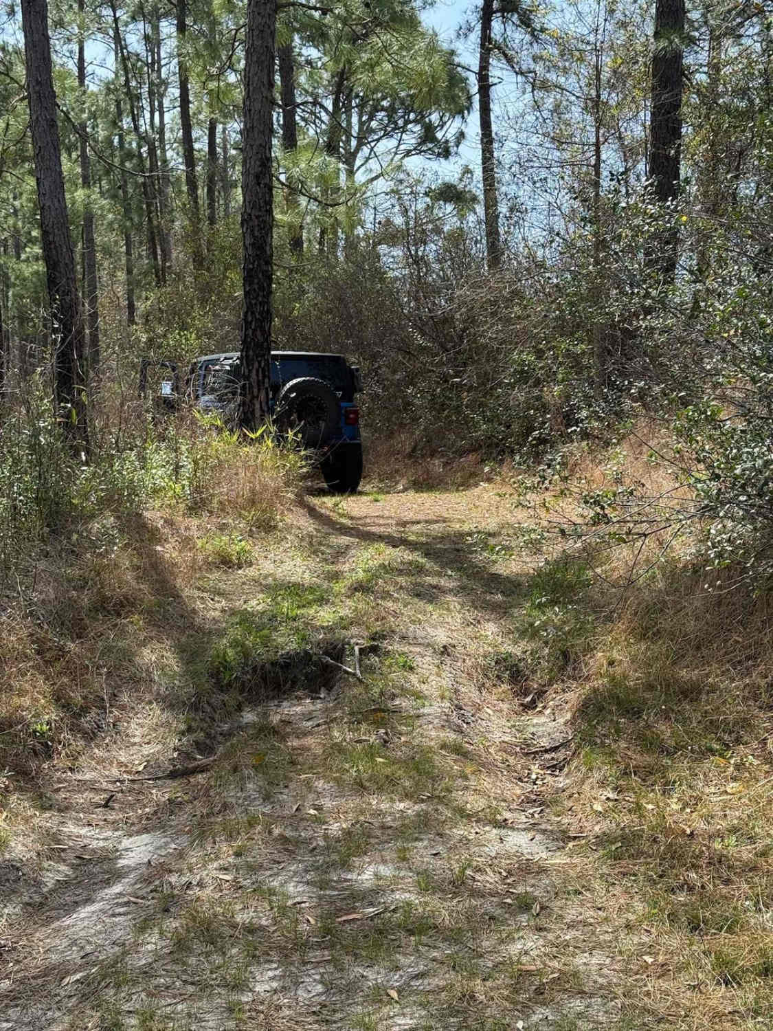
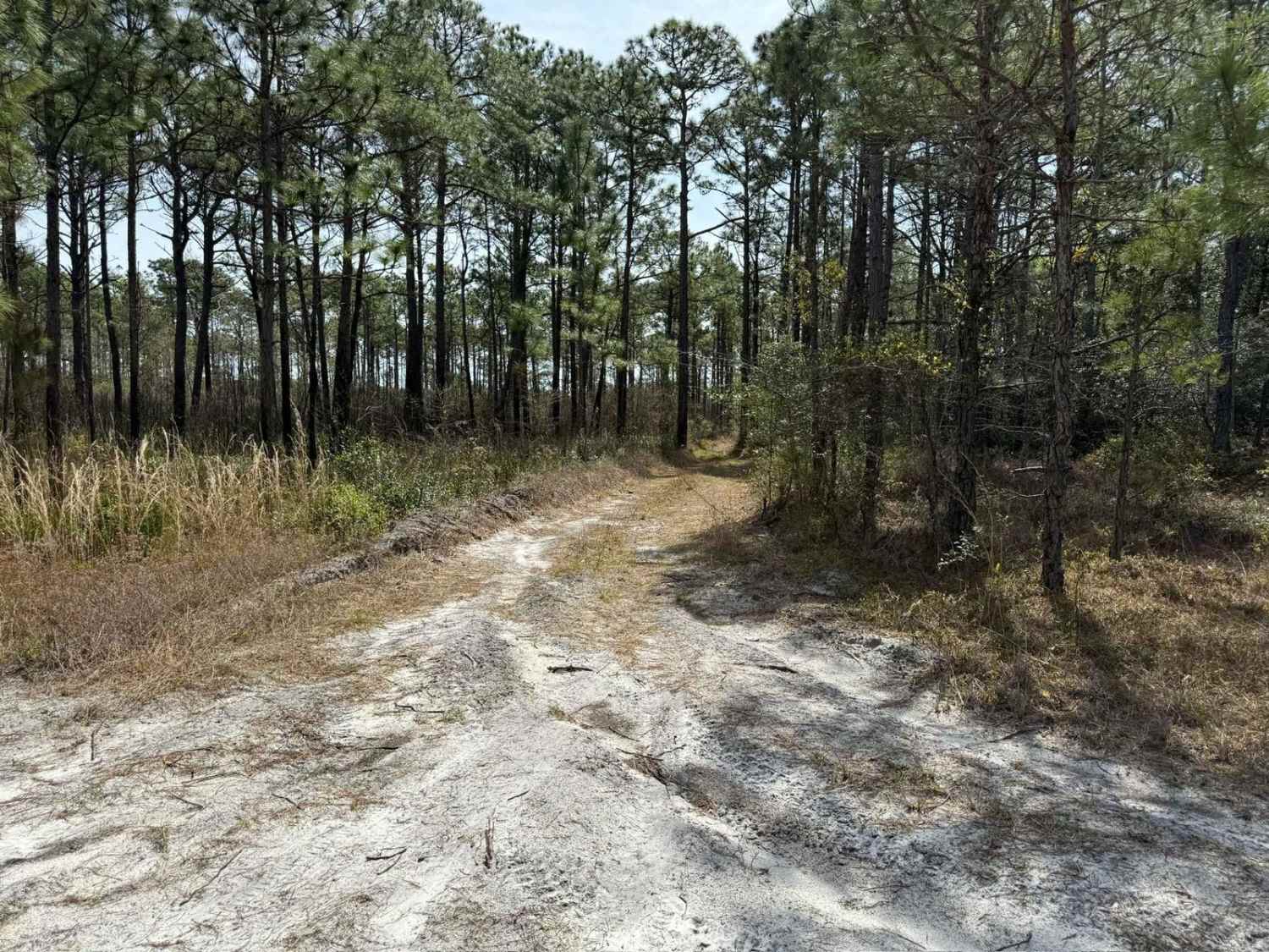
Pettiford Creek Trail 9 is a longer route that initially runs along the edge of private property before entering the state forest and linking Pettiford Creek West Entrance to Pettiford Creek Main Trail. While the official connection point is gated off, an unofficial path has been worn beside the gate. This path is not designated and is extremely narrow--full-size vehicles may struggle to pass without risking scratches or minor body damage. The early section of the trail is also tight but eventually opens up into a fun and flowing drive, featuring rolling whoops, soft, deep sand, and scattered mud pits or water-filled low spots, depending on recent rainfall.
Photos of Pettiford Creek Trail 9
Difficulty
The primary obstacle on this trail is a small ledge near the entrance, which reaches up to 12 inches in height--manageable for most vehicles with moderate clearance. Beyond that, drivers may encounter encroaching branches and occasional fallen limbs or small trees. The trail remains narrow through the first half, making pinstriping a potential concern for wider vehicles. A few small mud pits are scattered throughout the trail and are not deeper than 12 inches; this can be mostly avoided.
Pettiford Creek Trail 9 can be accessed by the following ride types:
- High-Clearance 4x4
- SUV
Pettiford Creek Trail 9 Map
Popular Trails
Pettiford Creek Trail 13


Tuni Gap Road - FS 440
Hemlock Ridge Trail 7
The onX Offroad Difference
onX Offroad combines trail photos, descriptions, difficulty ratings, width restrictions, seasonality, and more in a user-friendly interface. Available on all devices, with offline access and full compatibility with CarPlay and Android Auto. Discover what you’re missing today!