Pinnacle - SCAR Alternate
Total Miles
20.5
Technical Rating
Best Time
Spring, Summer, Fall, Winter
Trail Type
Full-Width Road
Accessible By
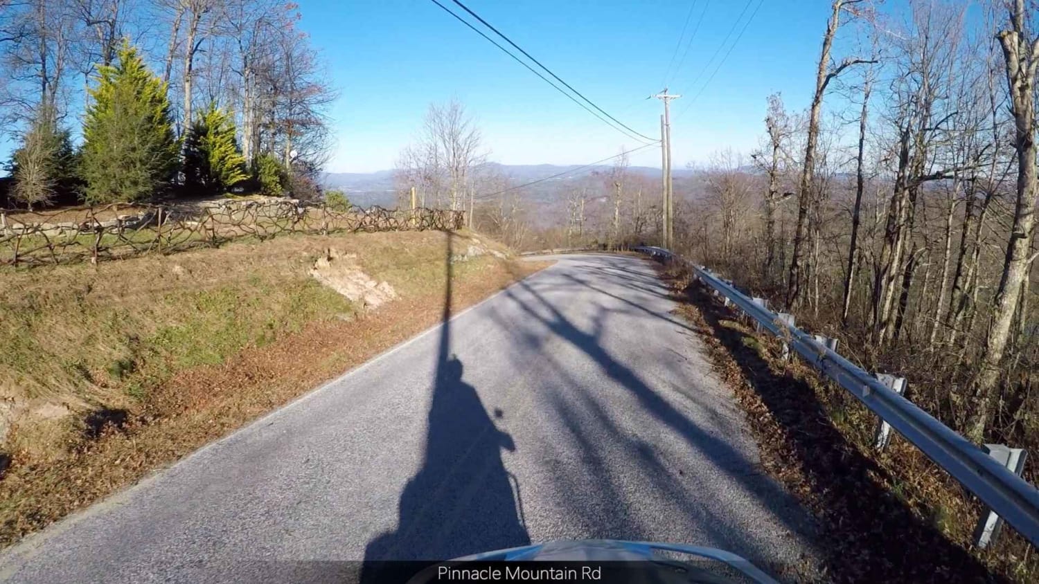
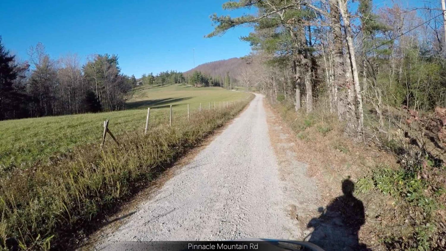
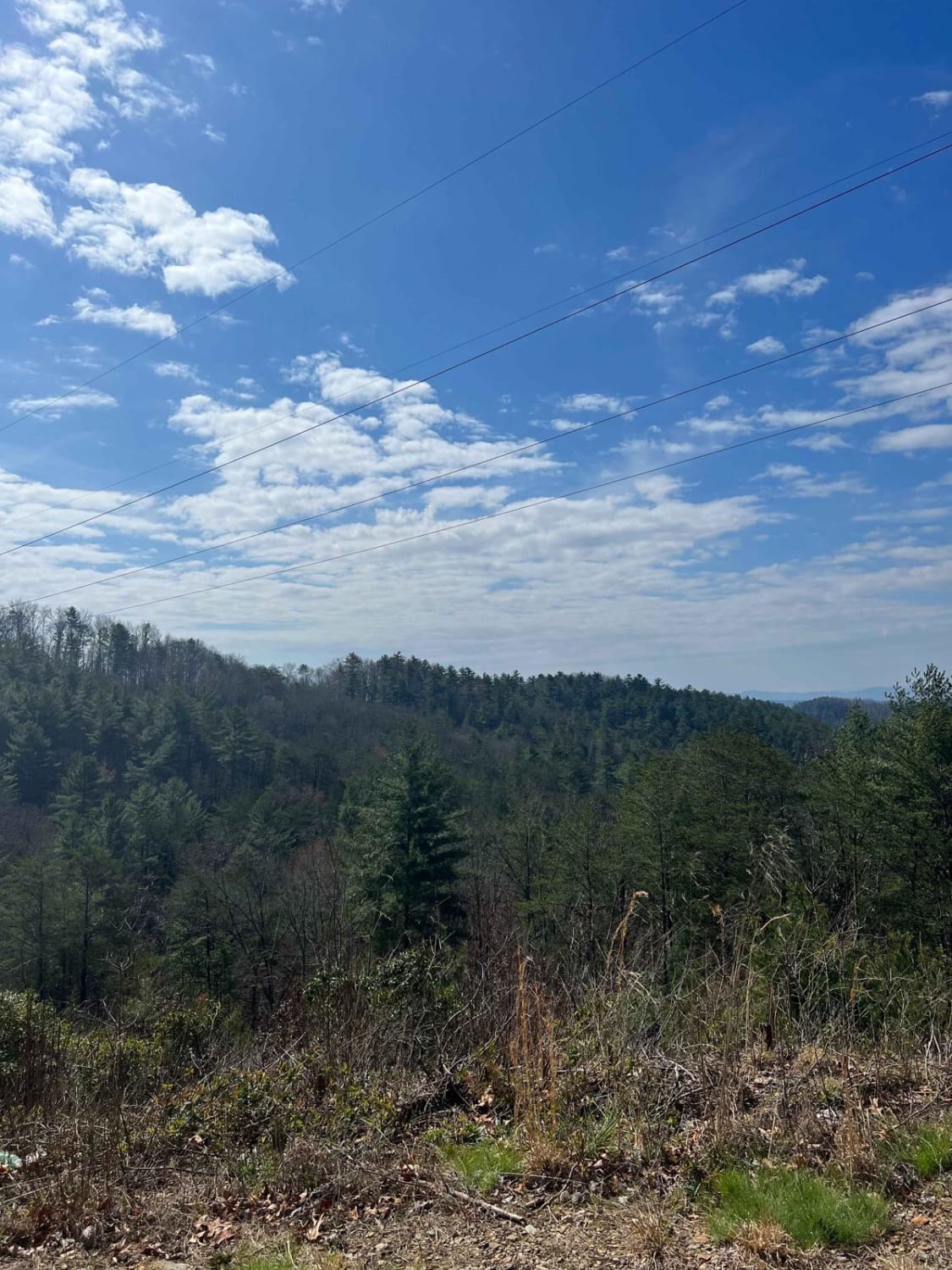
Trail Overview
This trail might suit you if you're looking for a scenic side trip on the South Carolina Adventure Route. It runs along the outskirts of the Dupont State Forest and provides ridgetop views. The trail is dirt and will include some steep and rutted grades. About the SCAR: The South Carolina Adventure Route loops through approximately 1,000 miles of rural South Carolina. Along this route, you'll enjoy the Blue Ridge Mountains, the Atlantic Ocean, diverse forests, cotton fields, state parks, historical sites, and quaint towns. The SCAR also connects to the Smokey Mountains 500, the Georgia Traverse, and the Trans-America Trail (TAT), providing riders on those trails with a scenic route to the Atlantic coast at Edisto Beach. The roads along the SCAR are a mix of pavement and dirt, 60% and 40%, respectively, with the surface alternating between gravel, dirt, clay, and sand. The route is not exceptionally technical, but dry conditions can leave the sandy roads loose, while wet conditions can leave the mud and clay roads slick and rutted. Travelers should expect to encounter deep sand and sizable mud holes in the worst conditions.
Photos of Pinnacle - SCAR Alternate
Difficulty
Largely a graded dirt road
Status Reports
Pinnacle - SCAR Alternate can be accessed by the following ride types:
- High-Clearance 4x4
- SUV
Pinnacle - SCAR Alternate Map
Popular Trails
Trans America Trail / SCAR Connector
Millis Road Spur
Shuler Creek

Roses Creek - FS 210
The onX Offroad Difference
onX Offroad combines trail photos, descriptions, difficulty ratings, width restrictions, seasonality, and more in a user-friendly interface. Available on all devices, with offline access and full compatibility with CarPlay and Android Auto. Discover what you’re missing today!