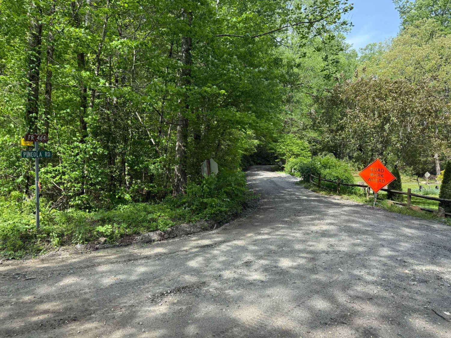
Pineola Road - FS 464
Total Miles
9.3
Technical Rating
Best Time
Spring, Summer, Fall
Trail Type
Full-Width Road
Accessible By
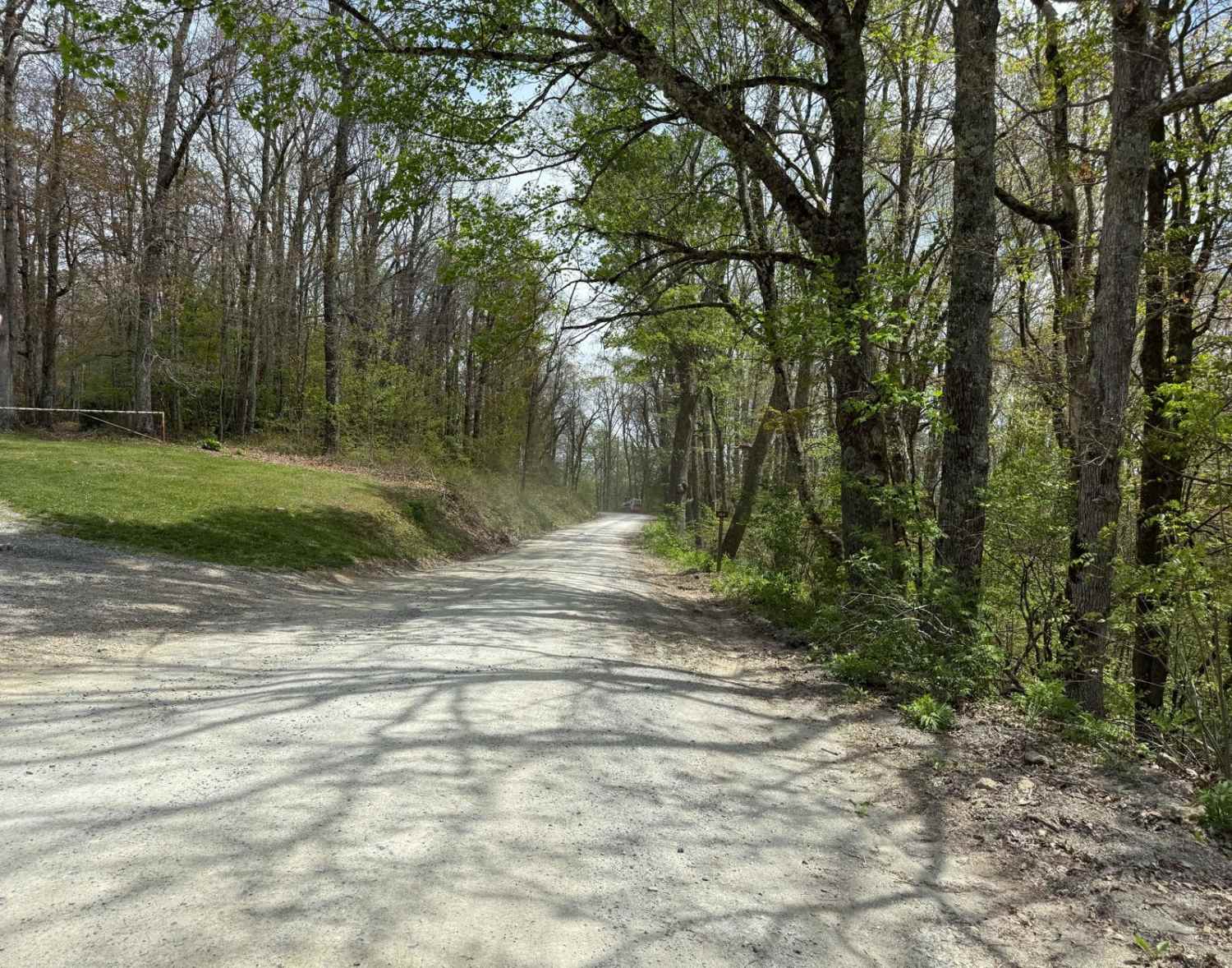
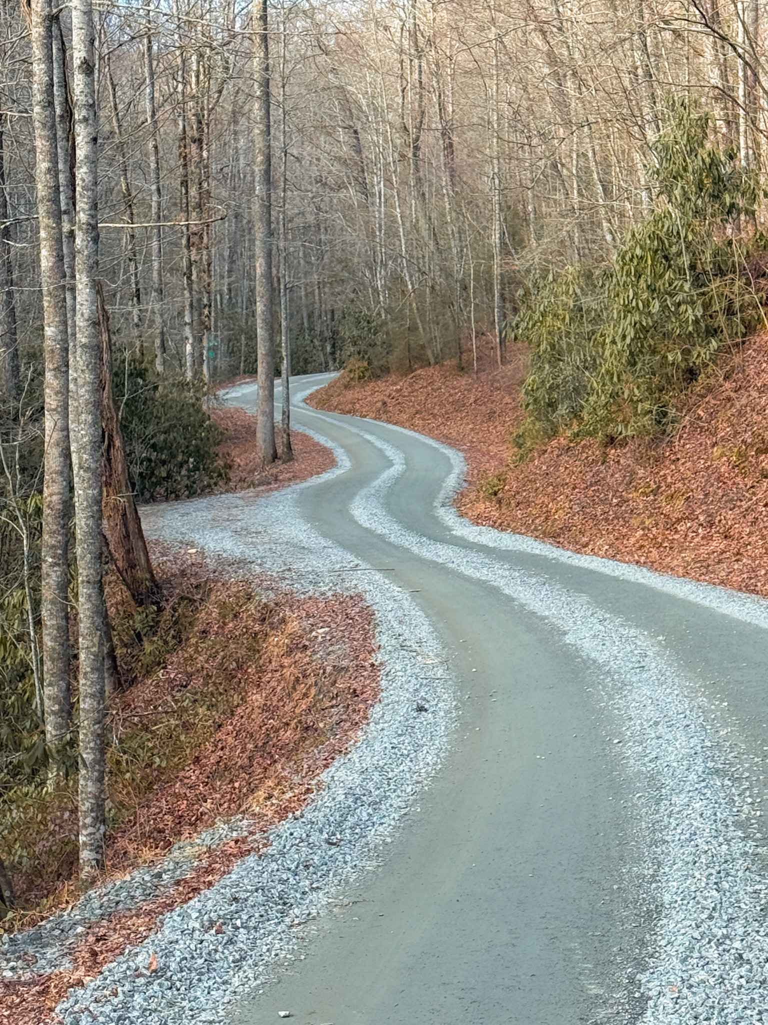
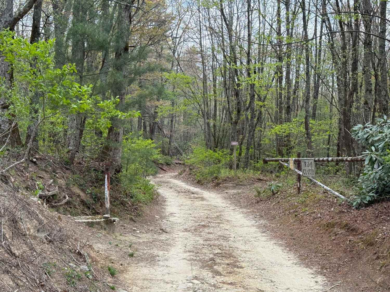
Trail Overview
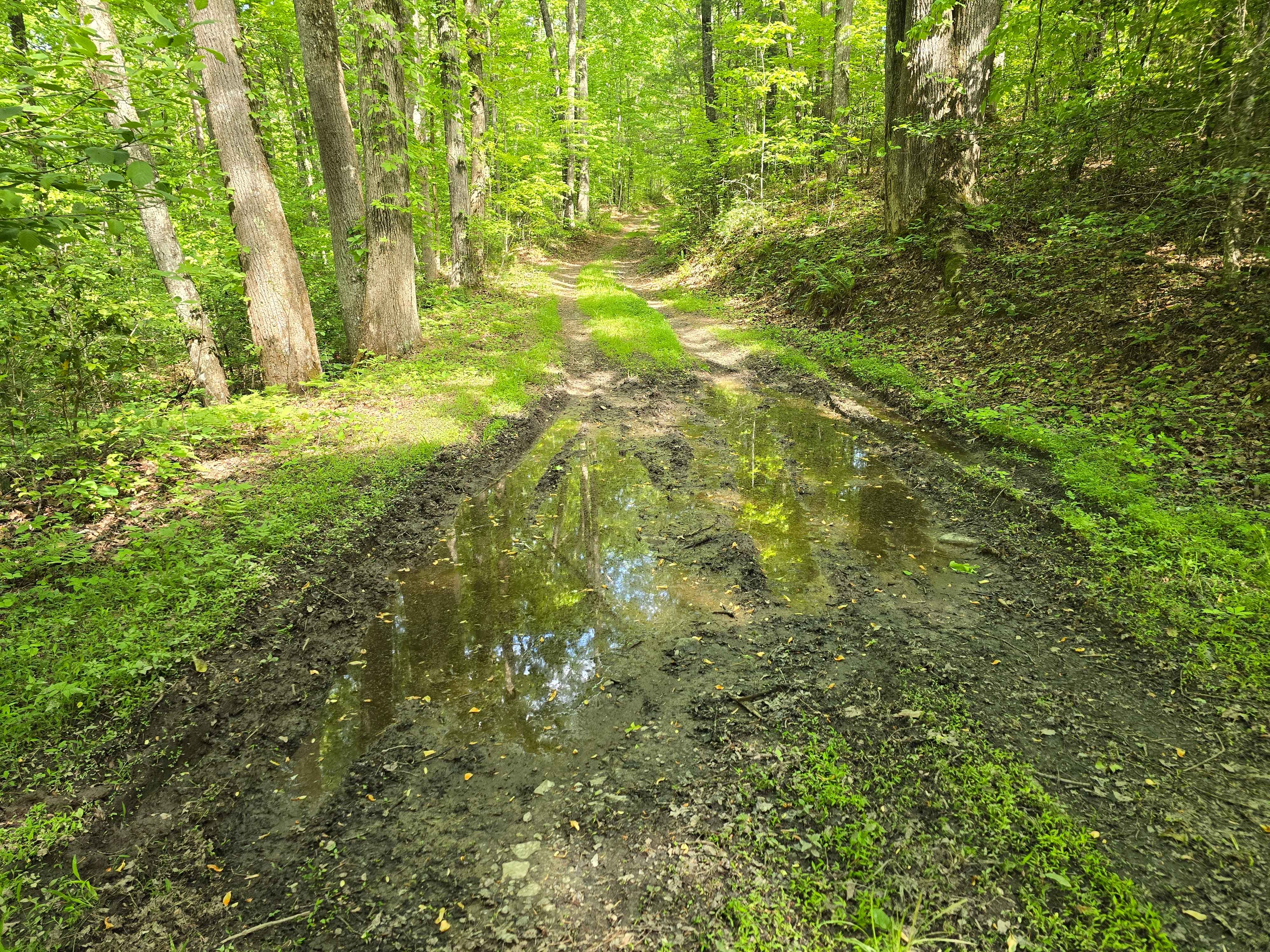
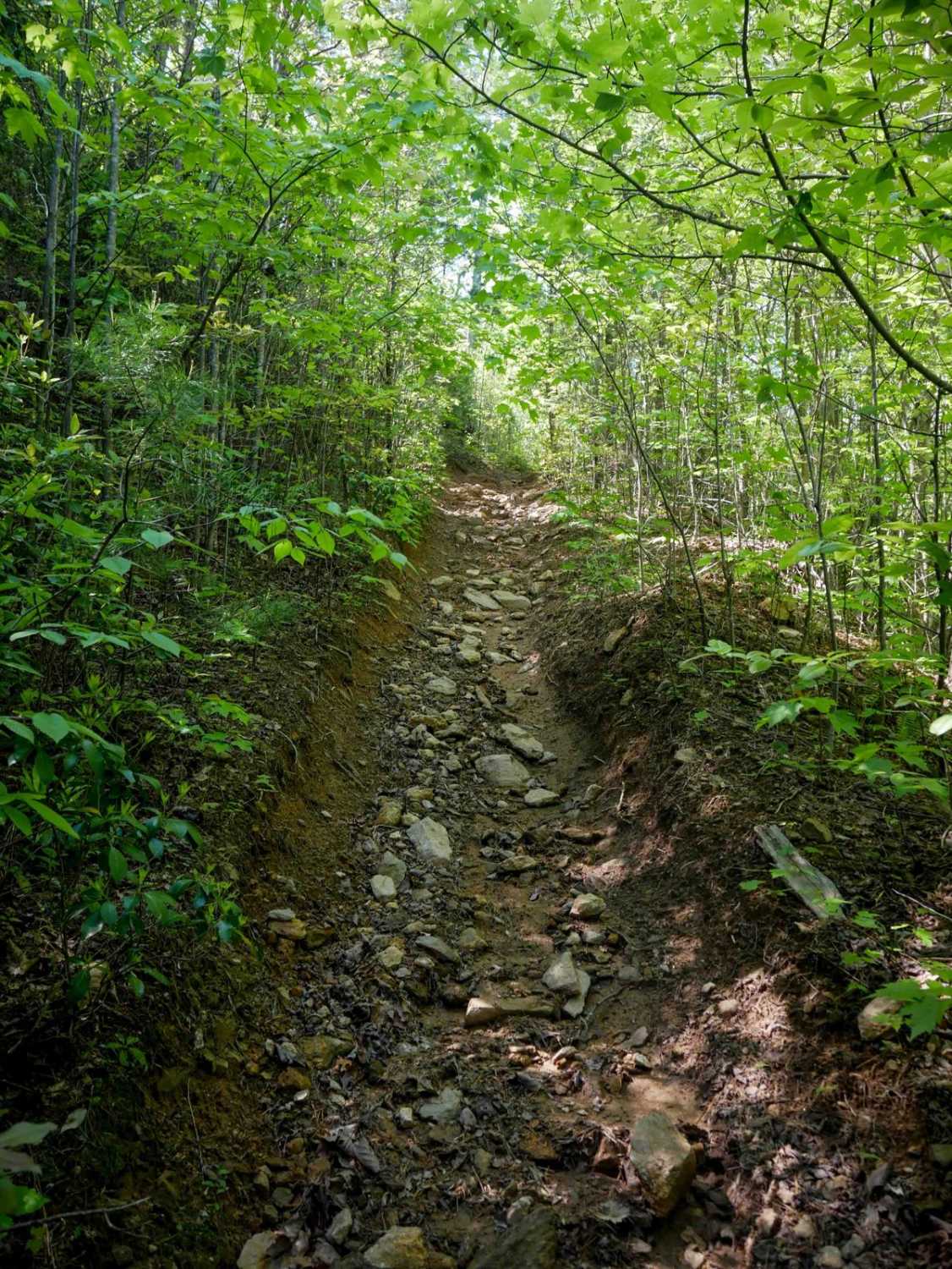
Pineola Road is a forest service road that offers access to hiking trails, scenic viewpoints, and several campsites. The road is relatively easy to drive, as it is maintained, but recent storms have caused a few small ruts and exposed rocks. These obstacles are typically no more than a few inches high and don't pose significant difficulty, though they may make some sections slightly rough. About halfway along Pineola Road, there's an offshoot to Harper Creek Road - FS 58, which leads to a small town and provides access to a campsite and a creek. Travelers can expect to see views of Pisgah National Forest, various creeks, and steep ravines. Scattered along the route are several campsites, accommodating anywhere from one or two vehicles to groups of up to five.
Photos of Pineola Road - FS 464
Difficulty
This trail follows a typical, well-kept Forest Service road. Recent storms have created some light wear, including small ruts and rocks just a few inches tall. After heavy weather, be on the lookout for fallen limbs, trees, or scattered debris.
History
Due to Hurricane Helene in 2024, evidence of storm damage remains visible in 2025. Expect narrowed trails, washouts, and fallen trees throughout the area. While some construction equipment is present along the road, it remains fully passable.
Status Reports
Pineola Road - FS 464 can be accessed by the following ride types:
- High-Clearance 4x4
- SUV
Pineola Road - FS 464 Map
Popular Trails
Cathey's Creek Road - FS 471
Alfred Woodie Lane
Doc Stiles Road
The onX Offroad Difference
onX Offroad combines trail photos, descriptions, difficulty ratings, width restrictions, seasonality, and more in a user-friendly interface. Available on all devices, with offline access and full compatibility with CarPlay and Android Auto. Discover what you’re missing today!