Pinicale Mt Rd
Total Miles
10.2
Technical Rating
Best Time
Spring, Summer, Fall, Winter
Trail Type
Full-Width Road
Accessible By
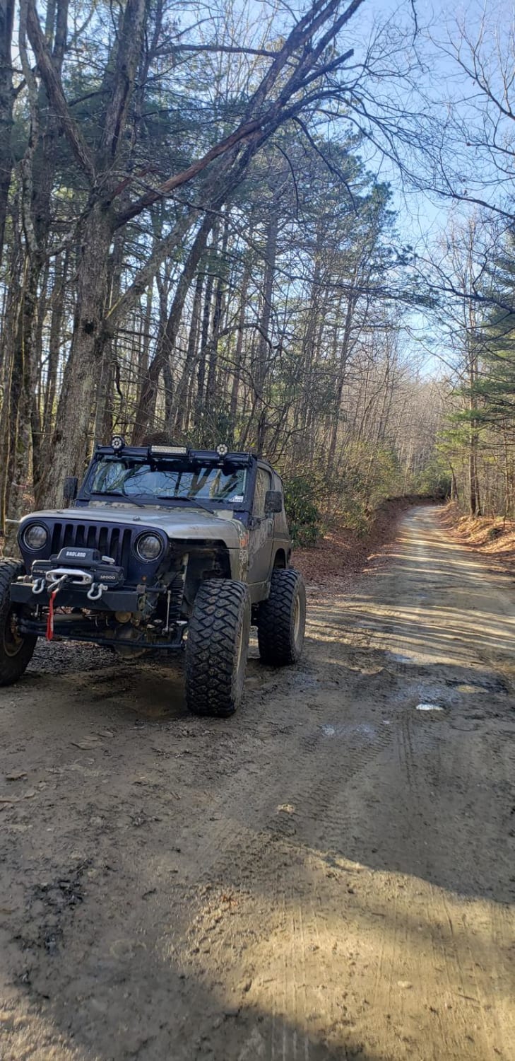
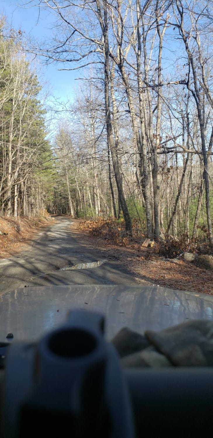
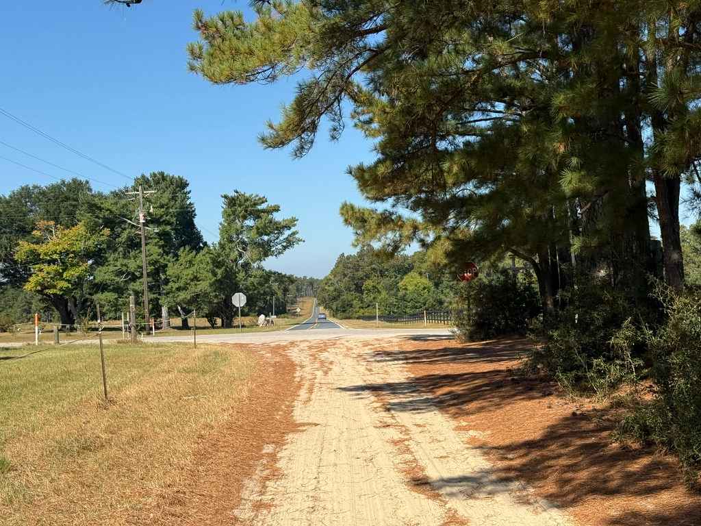
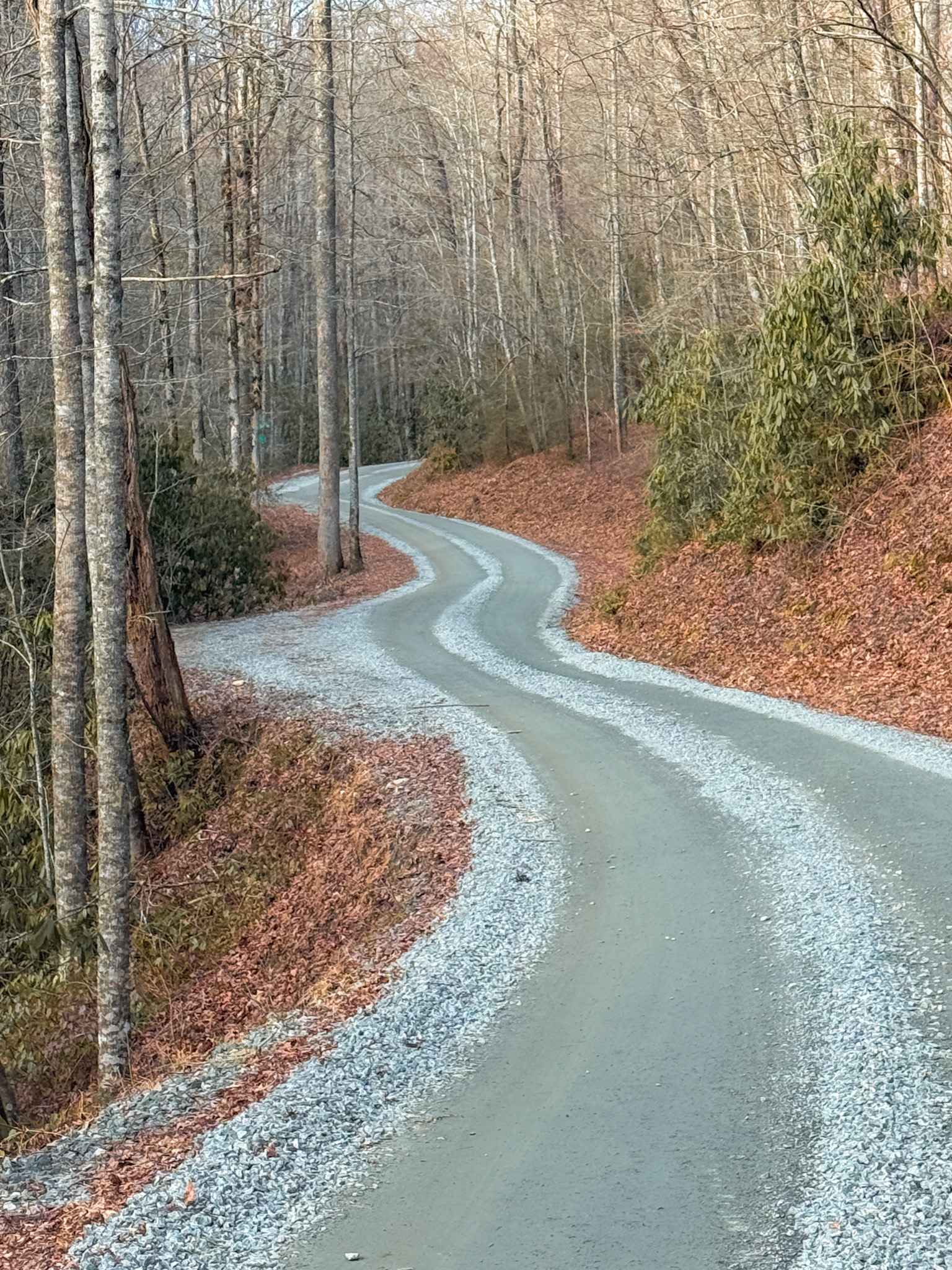
Trail Overview
This is an easy, mostly gravel and dirt trail. It has some small rocks and holes throughout, and good views in the winter when the trees are bare. It has wildlife land and public lands on both sides, so be sure to stay on the trail. This makes a great loop when combined with Green River Rd. Both can be done in a stock 4WD or 2WD with some ground clearance.
Photos of Pinicale Mt Rd
Difficulty
This is an easy trail. There are some small rocks and holes to watch out for, and two large mud holes on the edge of the trail, both which can be avoided.
Status Reports
Pinicale Mt Rd can be accessed by the following ride types:
- High-Clearance 4x4
- SUV
Pinicale Mt Rd Map
Popular Trails
Ellerbe Tower Lane
Blue Boar Road
Cathey's Creek Road - FS 471
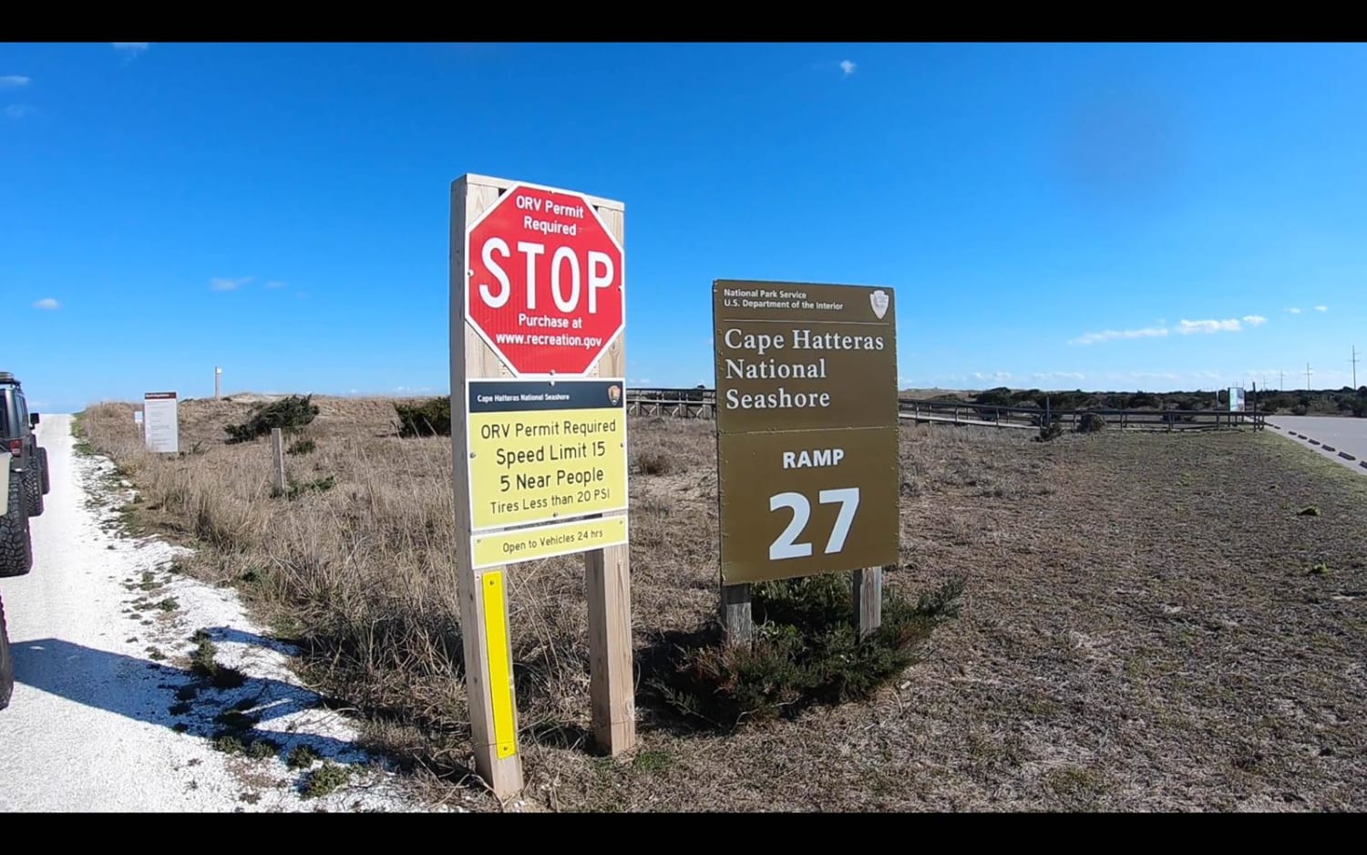
Cape Hatteras Ramp 25 to 27
The onX Offroad Difference
onX Offroad combines trail photos, descriptions, difficulty ratings, width restrictions, seasonality, and more in a user-friendly interface. Available on all devices, with offline access and full compatibility with CarPlay and Android Auto. Discover what you’re missing today!