Off-Road Trails in North Carolina
Discover off-road trails in North Carolina
Learn more about Holston Creek
Holston Creek
Total Miles
2.2
Tech Rating
Easy
Best Time
Spring, Summer, Fall
Learn more about Holston Hunter Trail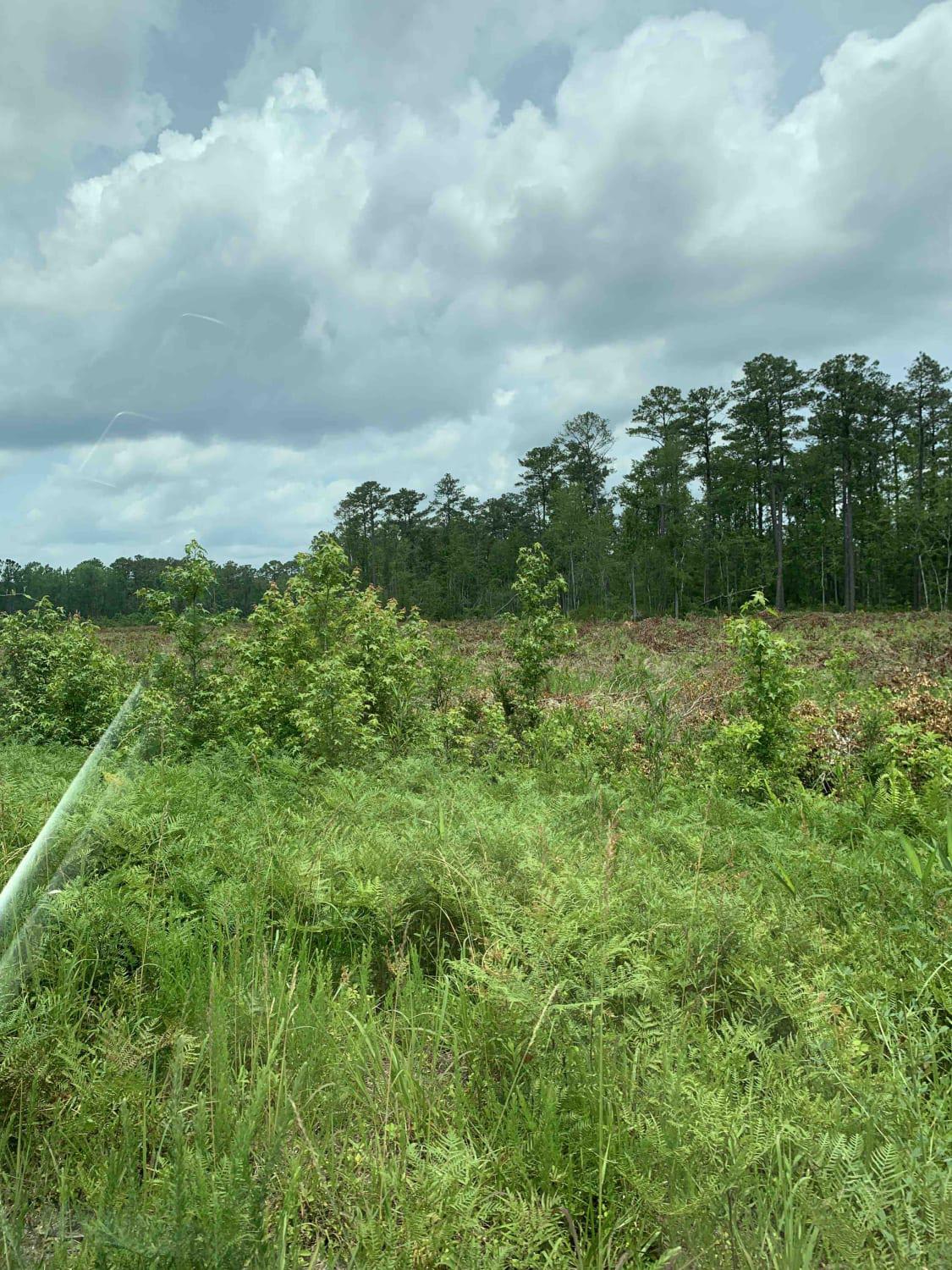
Holston Hunter Trail
Total Miles
5.4
Tech Rating
Easy
Best Time
Spring, Summer, Fall, Winter
Learn more about Huntdale Road
Huntdale Road
Total Miles
2.1
Tech Rating
Easy
Best Time
Spring, Summer, Fall
Learn more about Hurricane Creek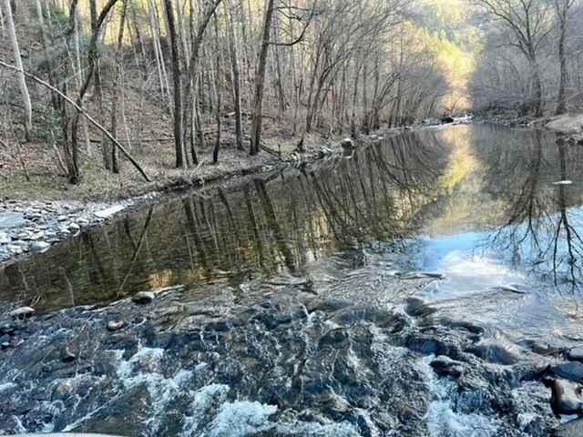
Hurricane Creek
Total Miles
6.3
Tech Rating
Moderate
Best Time
Fall, Summer, Winter, Spring
Learn more about Inside Road to Cape Point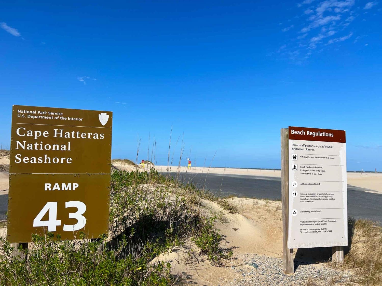
Inside Road to Cape Point
Total Miles
5.1
Tech Rating
Moderate
Best Time
Spring, Summer, Fall
Learn more about Joanna Tower Road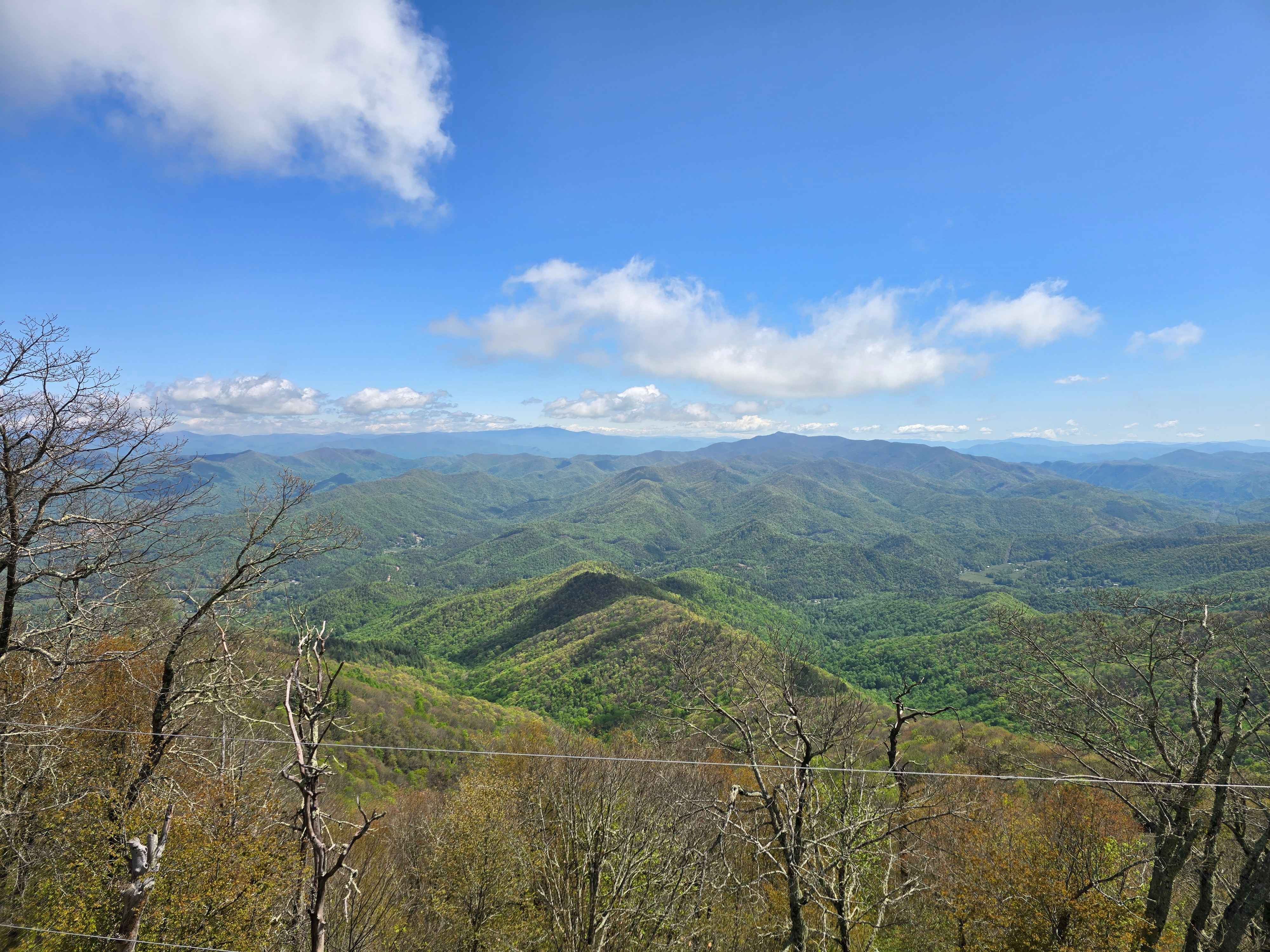
Joanna Tower Road
Total Miles
2.9
Tech Rating
Easy
Best Time
Spring, Summer, Fall, Winter
Learn more about Lake View Trail 69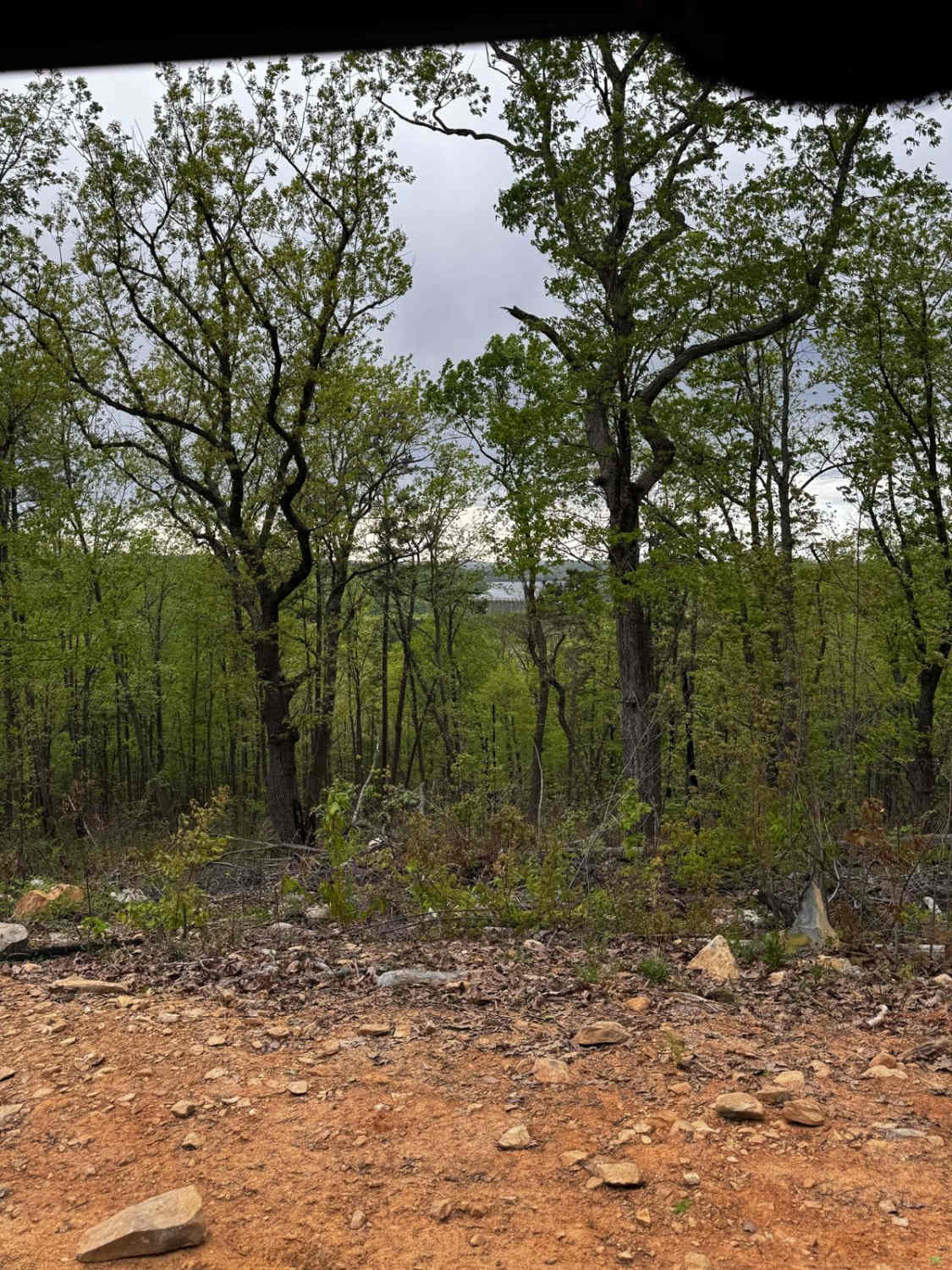
Lake View Trail 69
Total Miles
1.8
Tech Rating
Easy
Best Time
Summer, Fall, Spring
Learn more about Little Snowbird Road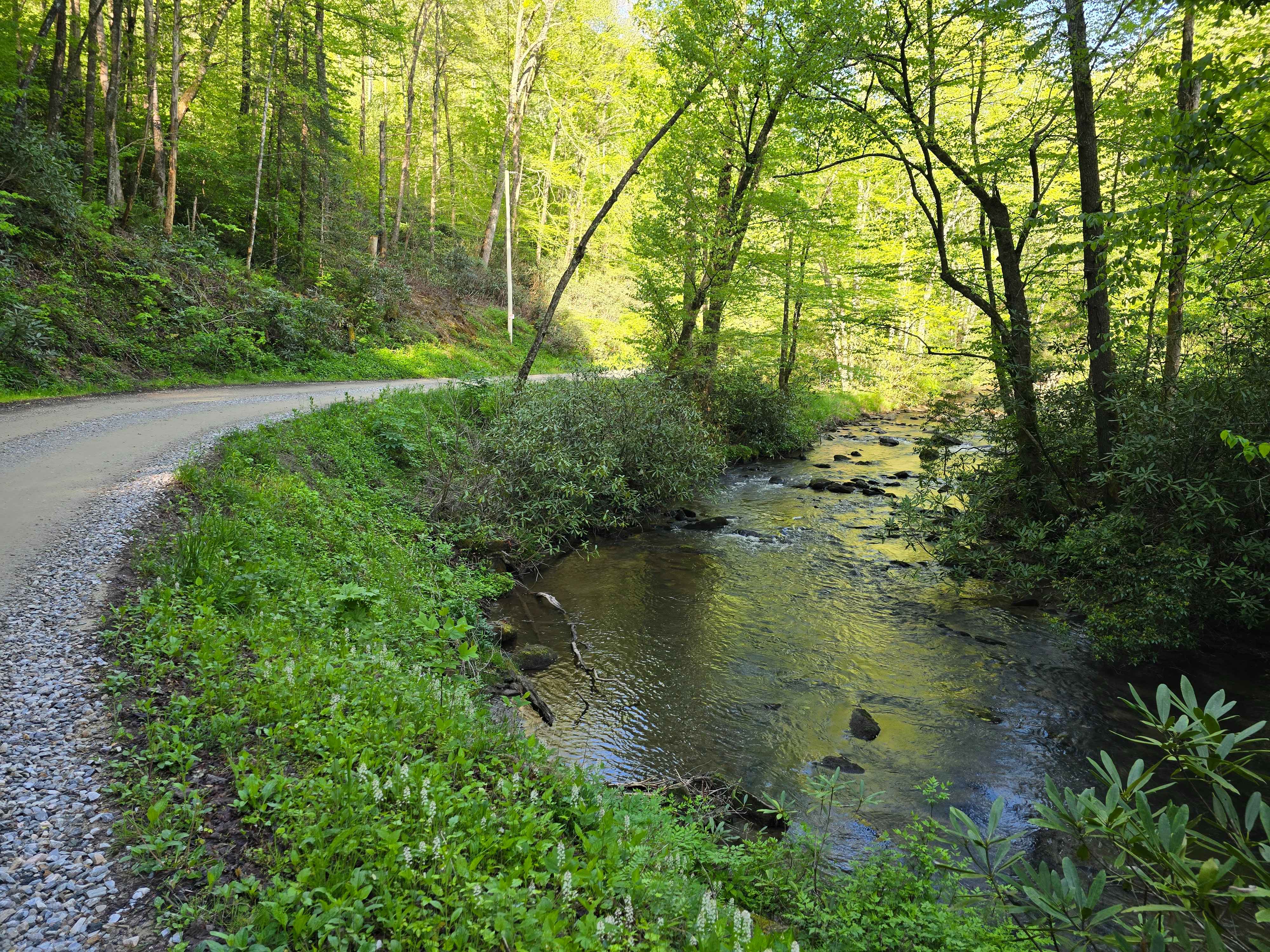
Little Snowbird Road
Total Miles
6.6
Tech Rating
Easy
Best Time
Spring, Summer, Fall, Winter
Learn more about Little Yellow Mountain - FS 367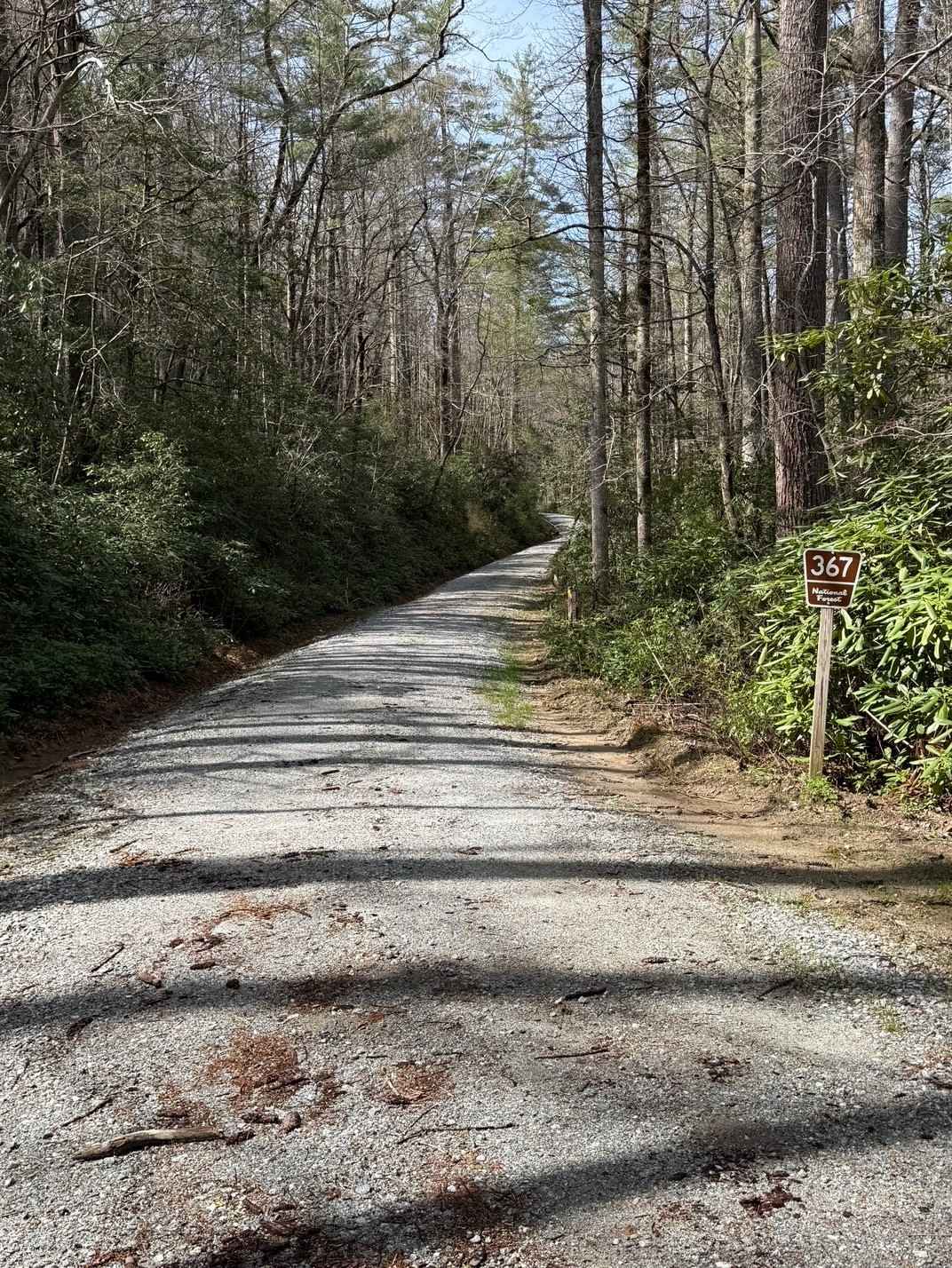
Little Yellow Mountain - FS 367
Total Miles
4.8
Tech Rating
Easy
Best Time
Spring, Summer, Fall
Learn more about Locust Gap Trail 2 
Locust Gap Trail 2
Total Miles
2.1
Tech Rating
Easy
Best Time
Spring, Fall, Summer

Learn more about Long Branch - FS 340C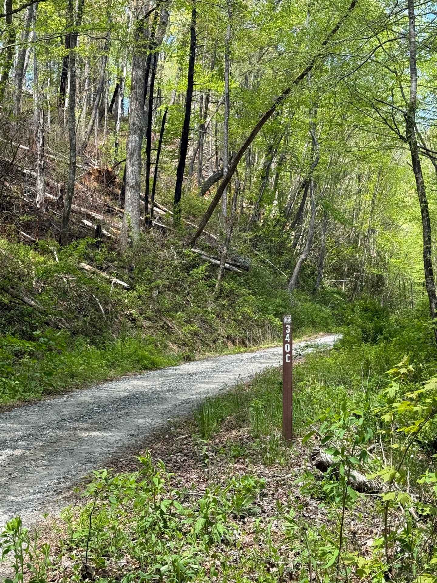
Long Branch - FS 340C
Total Miles
3.2
Tech Rating
Easy
Best Time
Spring, Summer, Fall, Winter
Learn more about Long Hungry Branch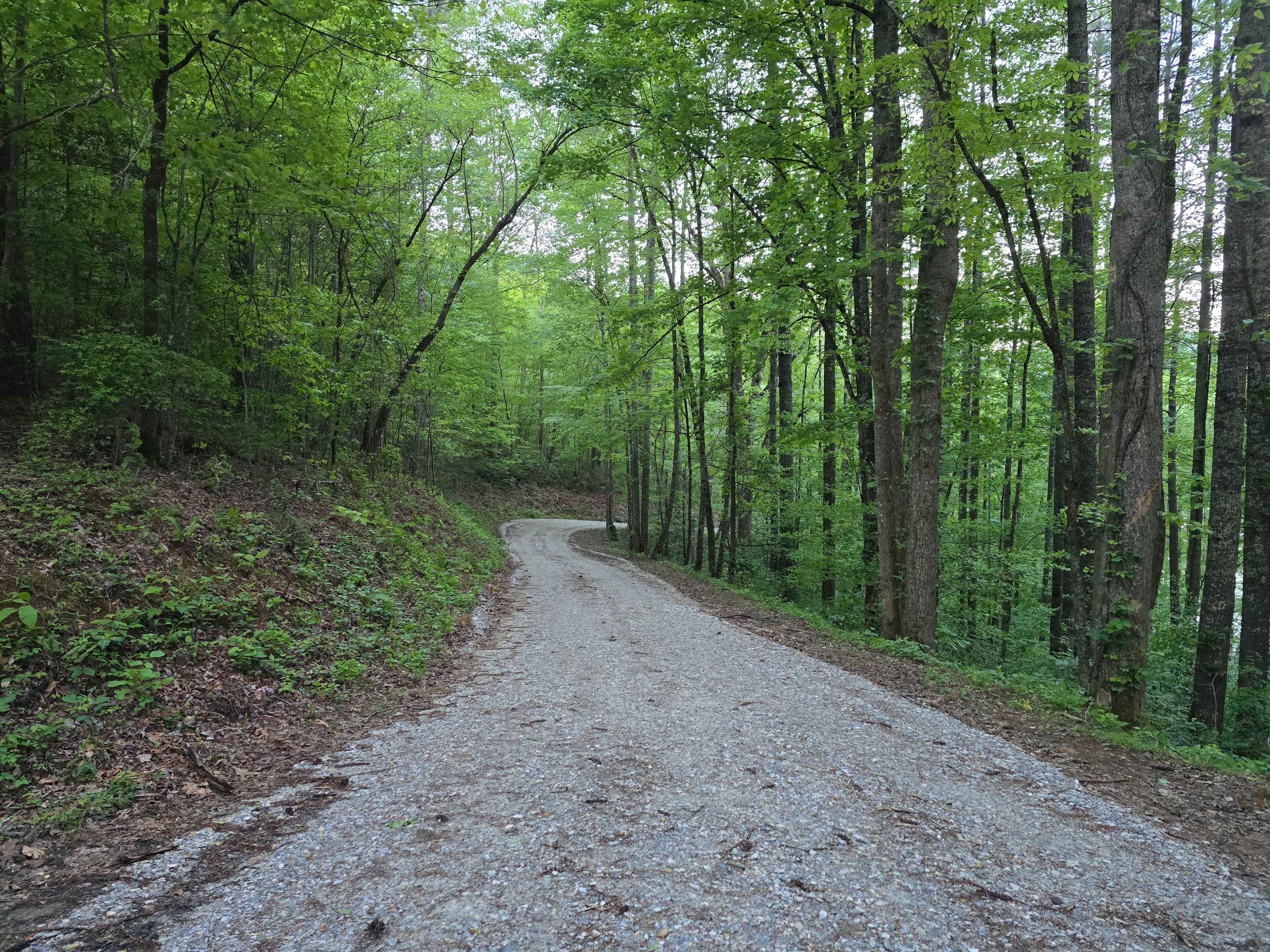
Long Hungry Branch
Total Miles
4.7
Tech Rating
Easy
Best Time
Spring, Summer, Fall, Winter
Learn more about Long Point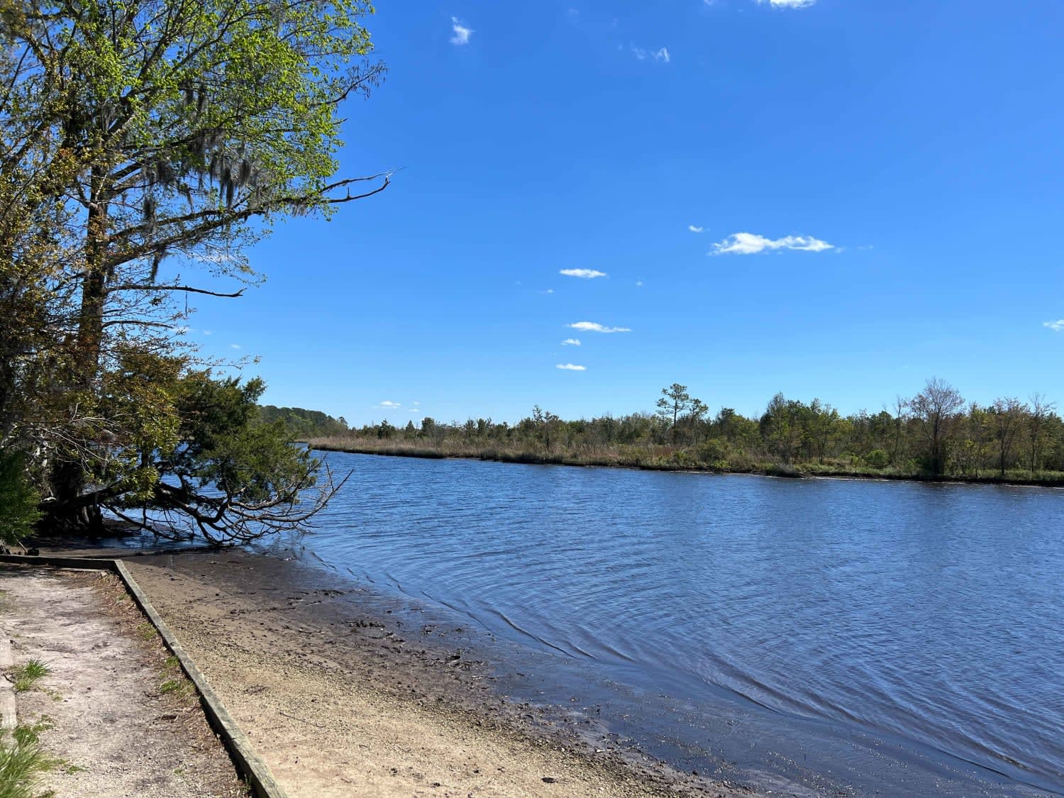
Long Point
Total Miles
2.3
Tech Rating
Easy
Best Time
Spring, Summer, Fall, Winter
Learn more about Lost Cove - FS 464A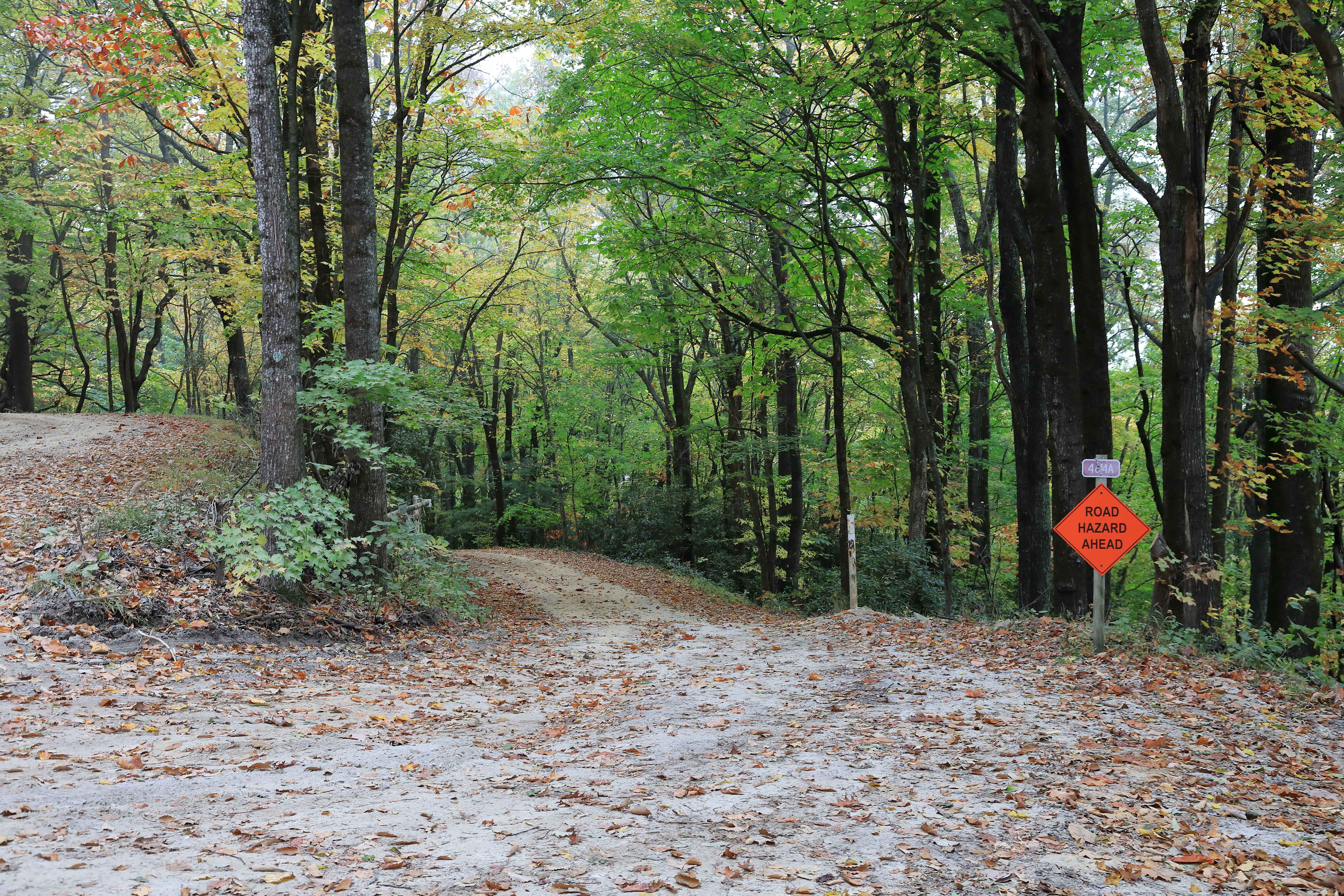
Lost Cove - FS 464A
Total Miles
0.9
Tech Rating
Easy
Best Time
Spring, Summer, Fall, Winter
Learn more about Maple Sally
Maple Sally
Total Miles
20.2
Tech Rating
Easy
Best Time
Spring, Fall, Summer, Winter

Learn more about Middle Road - Pocosin Lakes National Wildlife Refuge
Middle Road - Pocosin Lakes National Wildlife Refuge
Total Miles
4.4
Tech Rating
Easy
Best Time
Summer, Fall, Spring
Learn more about Millis Road (128)
Millis Road (128)
Total Miles
7.7
Tech Rating
Easy
Best Time
Spring, Fall, Summer, Winter
ATV trails in North Carolina

Learn more about 1B Shortcut 
1B Shortcut
Total Miles
0.2
Tech Rating
Easy
Best Time
Spring, Fall, Summer, Winter
UTV/side-by-side trails in North Carolina
Learn more about 1B Shortcut
1B Shortcut
Total Miles
0.2
Tech Rating
Easy
Best Time
Spring, Fall, Summer, Winter
Learn more about 1B Upper
1B Upper
Total Miles
0.3
Tech Rating
Moderate
Best Time
Spring, Fall, Summer, Winter
The onX Offroad Difference
onX Offroad combines trail photos, descriptions, difficulty ratings, width restrictions, seasonality, and more in a user-friendly interface. Available on all devices, with offline access and full compatibility with CarPlay and Android Auto. Discover what you’re missing today!