Locust Gap Trail 2
Total Miles
2.1
Technical Rating
Best Time
Spring, Fall, Summer
Trail Type
60" Trail
Accessible By
Trail Overview
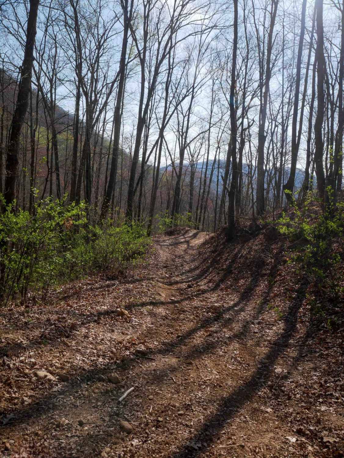
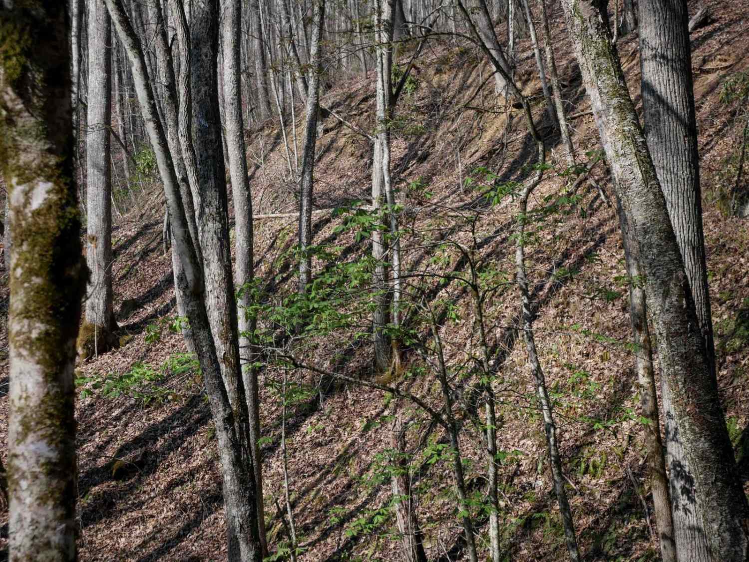
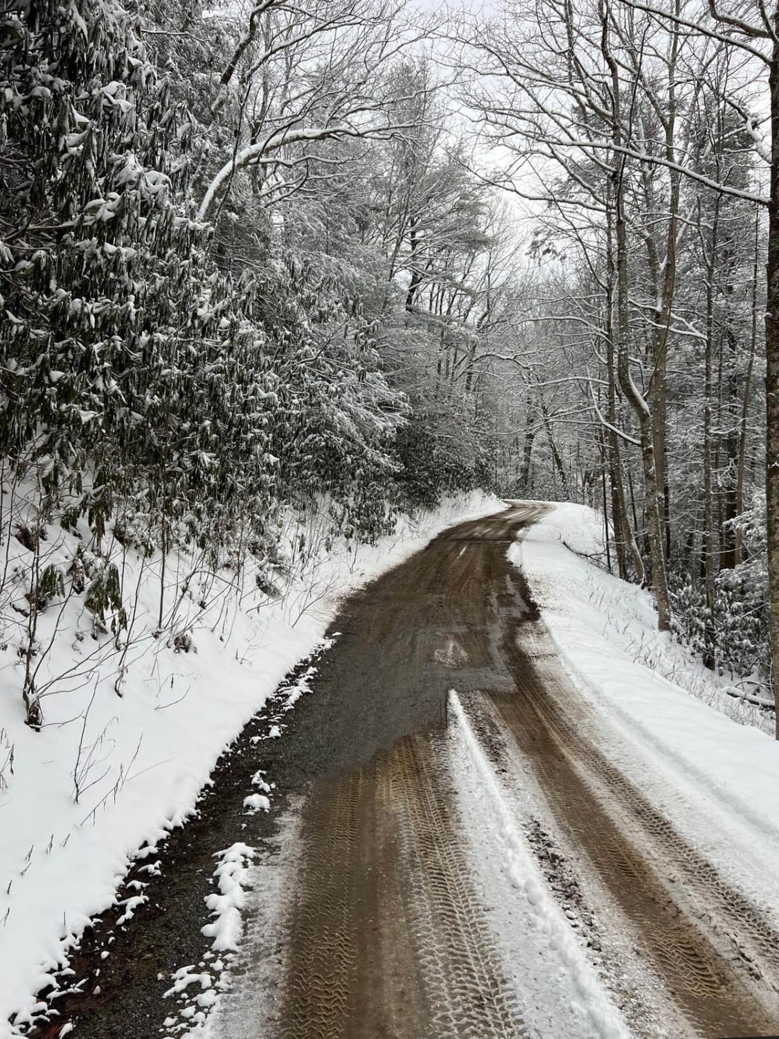
Trail 2 features a shelfy route that contours the mountainside, with mild exposure and sweeping views at higher elevations. Starting at the northern end, it descends gently for a quarter mile before climbing steeply over the next 3/4 mile to reach a peak elevation of approximately 4,200 feet. The trail then gradually descends toward its southern junction with Trail 1. The tread is mostly smooth, with occasional loose rock and embedded slabs. Water bars help with drainage on the steeper sections. Rhododendron thickets and birch trees line much of the trail, adding to its scenic quality. While generally well-maintained, riders may occasionally encounter downed tree branches. This is an excellent trail for riders comfortable with short, steep climbs and narrow hillside traverses.
Photos of Locust Gap Trail 2
Difficulty
This trail is rated as moderate by the Forest Service, but would generally be considered easy as it has minimal technical aspects, and is mostly fast and flowy.
Status Reports
Locust Gap Trail 2 can be accessed by the following ride types:
- SxS (60")
- ATV (50")
- Dirt Bike
Locust Gap Trail 2 Map
Popular Trails
Pettiford Creek Trail 3
Chestnut Ridge Road/Auger Hole Road

Mount Sterling Road
The onX Offroad Difference
onX Offroad combines trail photos, descriptions, difficulty ratings, width restrictions, seasonality, and more in a user-friendly interface. Available on all devices, with offline access and full compatibility with CarPlay and Android Auto. Discover what you’re missing today!