Off-Road Trails in North Carolina
Discover off-road trails in North Carolina
Learn more about Bogue Road Spur
Bogue Road Spur
Total Miles
0.6
Tech Rating
Easy
Best Time
Spring, Summer, Fall
Learn more about Bogue road spur 2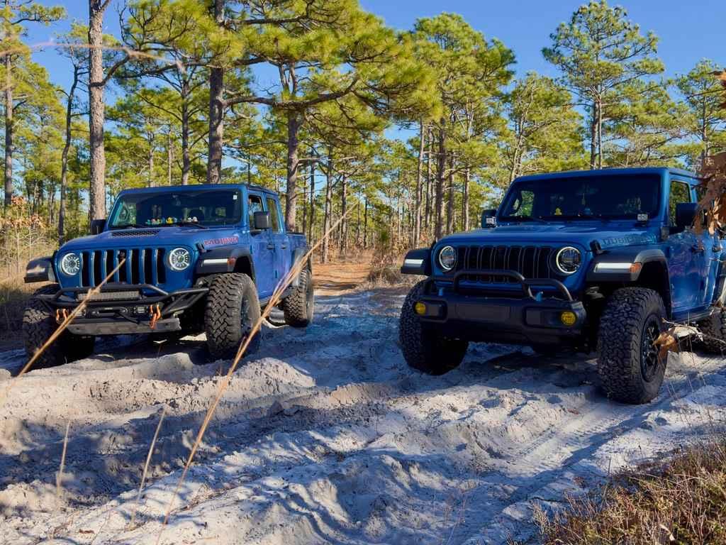
Bogue road spur 2
Total Miles
0.5
Tech Rating
Easy
Best Time
Spring, Summer, Fall
Learn more about Bogue Road Spur 3
Bogue Road Spur 3
Total Miles
0.9
Tech Rating
Moderate
Best Time
Spring, Summer, Fall
Learn more about Brown Mountain Beech Road
Brown Mountain Beech Road
Total Miles
2.4
Tech Rating
Easy
Best Time
Spring, Summer, Fall
Learn more about Brown Mountain Trail 1
Brown Mountain Trail 1
Total Miles
4.9
Tech Rating
Moderate
Best Time
Spring, Summer, Fall
Learn more about Brown Mountain Trail 8
Brown Mountain Trail 8
Total Miles
0.6
Tech Rating
Moderate
Best Time
Spring, Summer, Fall
Learn more about Buck Knob Trail 11 
Buck Knob Trail 11
Total Miles
2.3
Tech Rating
Easy
Best Time
Spring, Fall, Summer
Learn more about Buzzard Roost Road
Buzzard Roost Road
Total Miles
11.2
Tech Rating
Easy
Best Time
Spring, Summer, Fall
Learn more about Camp Chamblee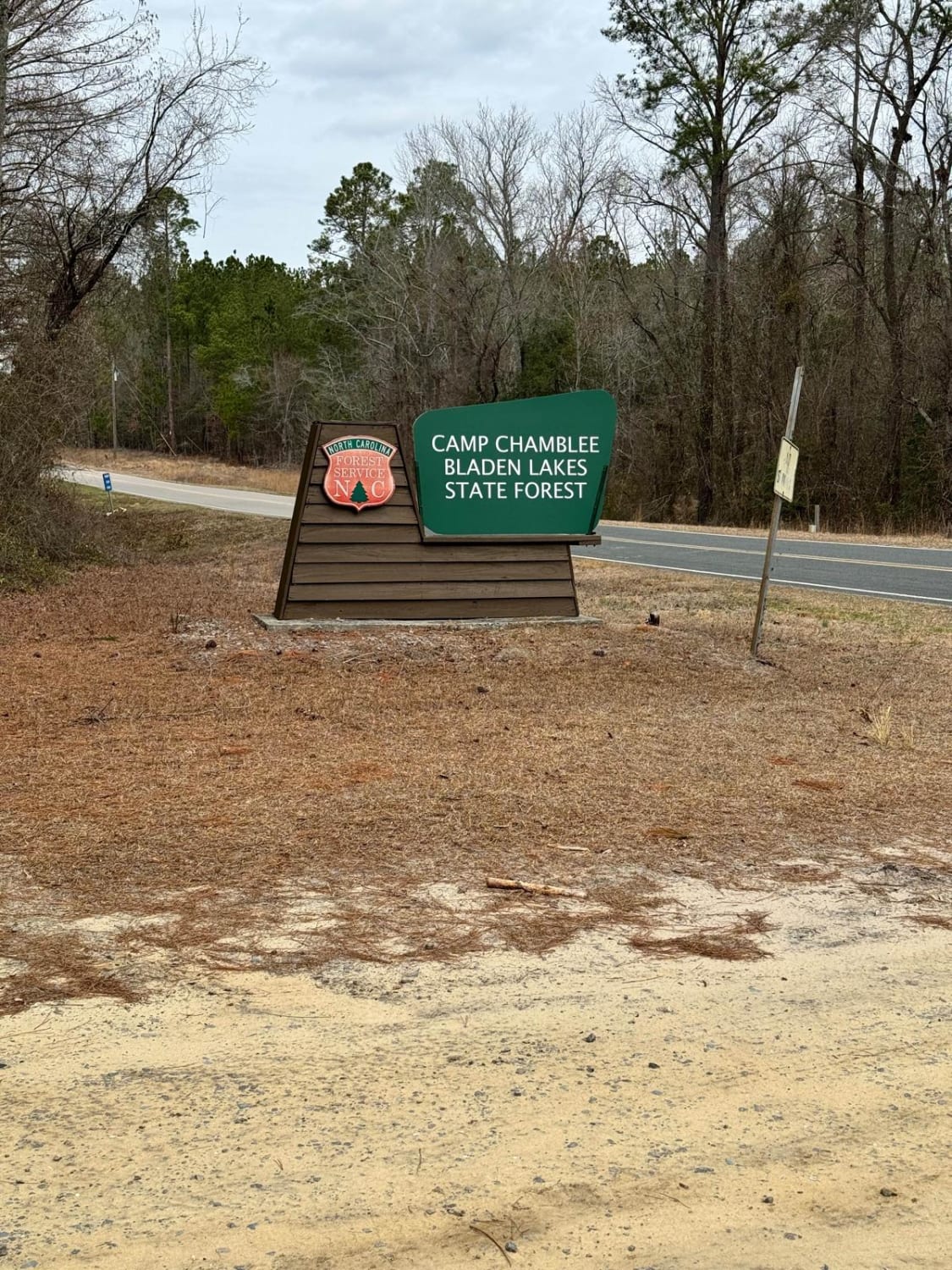
Camp Chamblee
Total Miles
0.8
Tech Rating
Easy
Best Time
Spring, Summer, Fall, Winter
Learn more about Cape Hatteras 34 to 38 Avon Beach 
Cape Hatteras 34 to 38 Avon Beach
Total Miles
4.3
Tech Rating
Easy
Best Time
Fall, Winter, Spring
Learn more about Cape Hatteras Ramp 2 to 4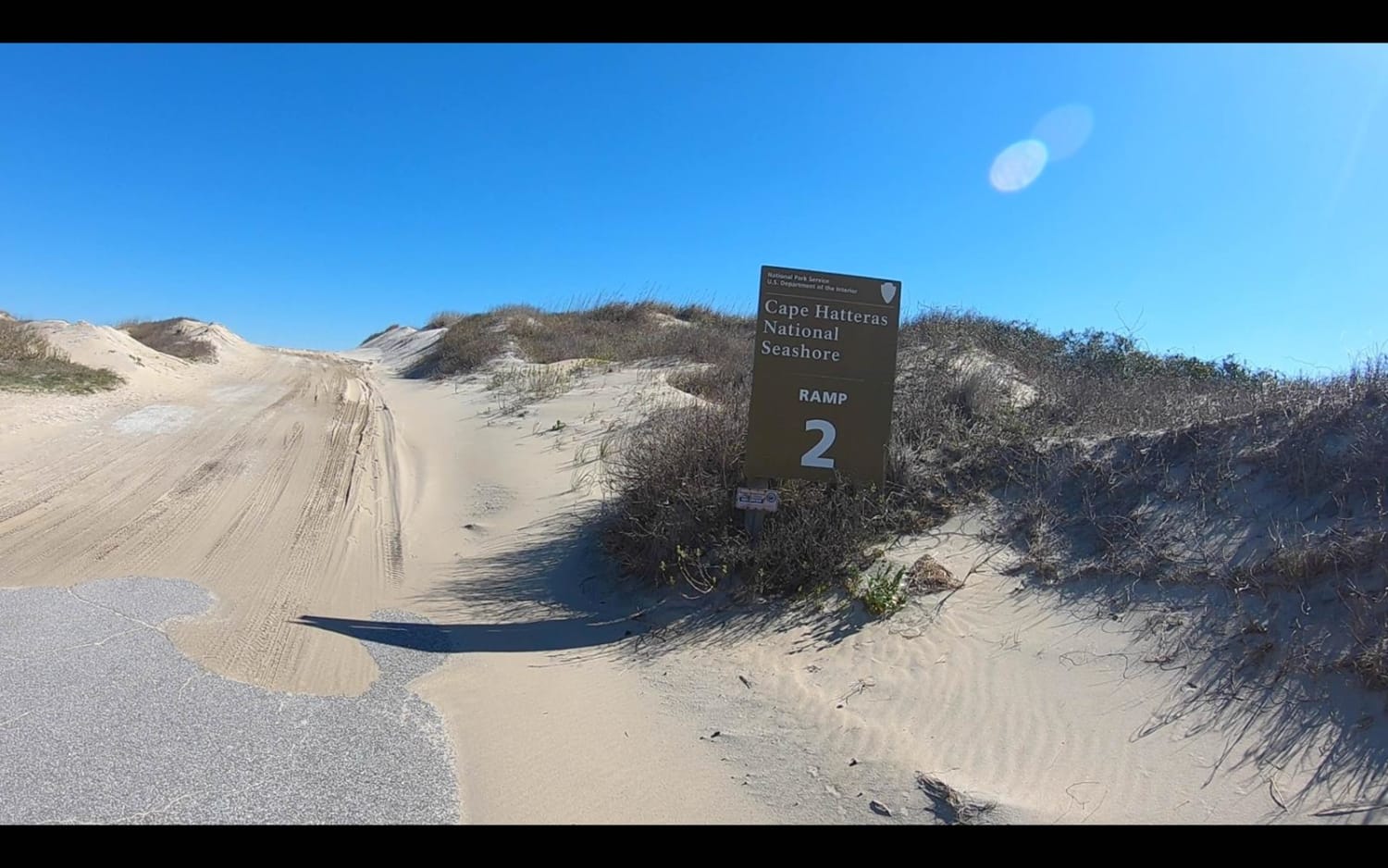
Cape Hatteras Ramp 2 to 4
Total Miles
2.6
Tech Rating
Easy
Best Time
Spring, Summer, Fall, Winter
Learn more about Cape Hatteras Ramp 23 to 25 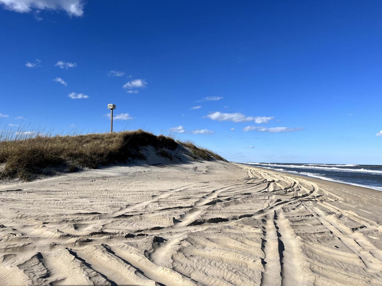
Cape Hatteras Ramp 23 to 25
Total Miles
2.8
Tech Rating
Easy
Best Time
Spring, Summer, Fall, Winter
Learn more about Cape Hatteras Ramp 25 to 27 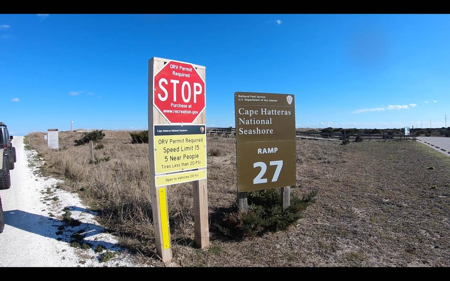
Cape Hatteras Ramp 25 to 27
Total Miles
2.3
Tech Rating
Easy
Best Time
Spring, Summer, Fall, Winter
Learn more about Cape Hatteras Ramp 30 to 32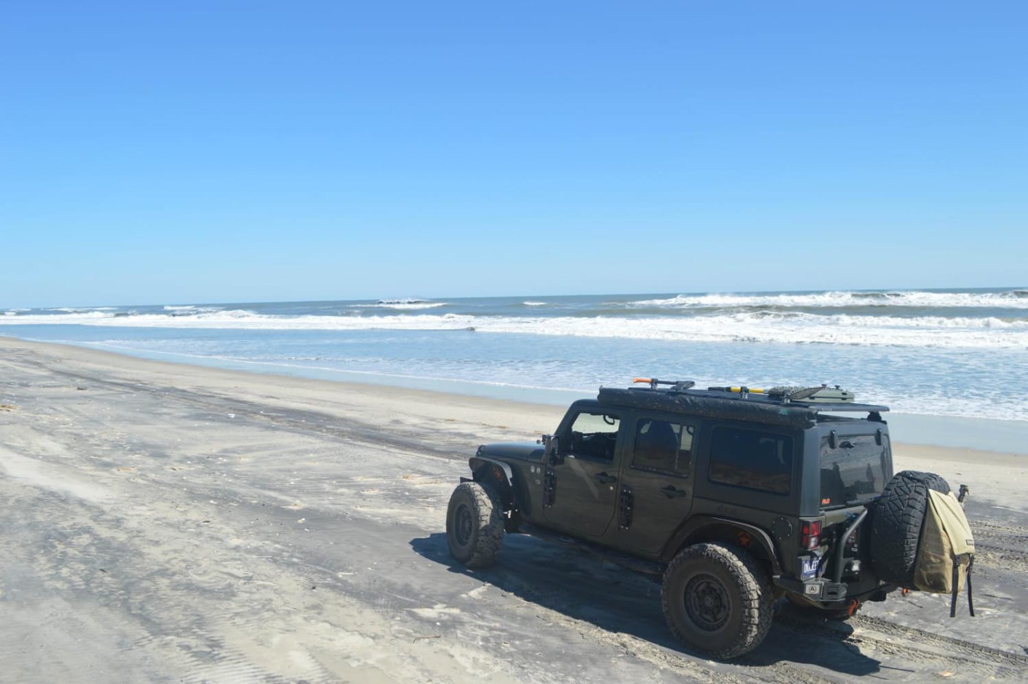
Cape Hatteras Ramp 30 to 32
Total Miles
2.1
Tech Rating
Easy
Best Time
Summer, Spring, Fall, Winter
Learn more about Carpenter Road
Carpenter Road
Total Miles
2.2
Tech Rating
Easy
Best Time
Spring, Summer, Fall
Learn more about Cataloochee Creek Road
Cataloochee Creek Road
Total Miles
1.8
Tech Rating
Easy
Best Time
Spring, Summer, Fall
Learn more about Cataloochee Turnpike to Big Creek
Cataloochee Turnpike to Big Creek
Total Miles
11.0
Tech Rating
Easy
Best Time
Spring, Summer, Fall
Learn more about Cathey's Creek Road - FS 471
Cathey's Creek Road - FS 471
Total Miles
7.4
Tech Rating
Easy
Best Time
Spring, Summer, Fall, Winter
Learn more about Chestnut Ridge Road/Auger Hole Road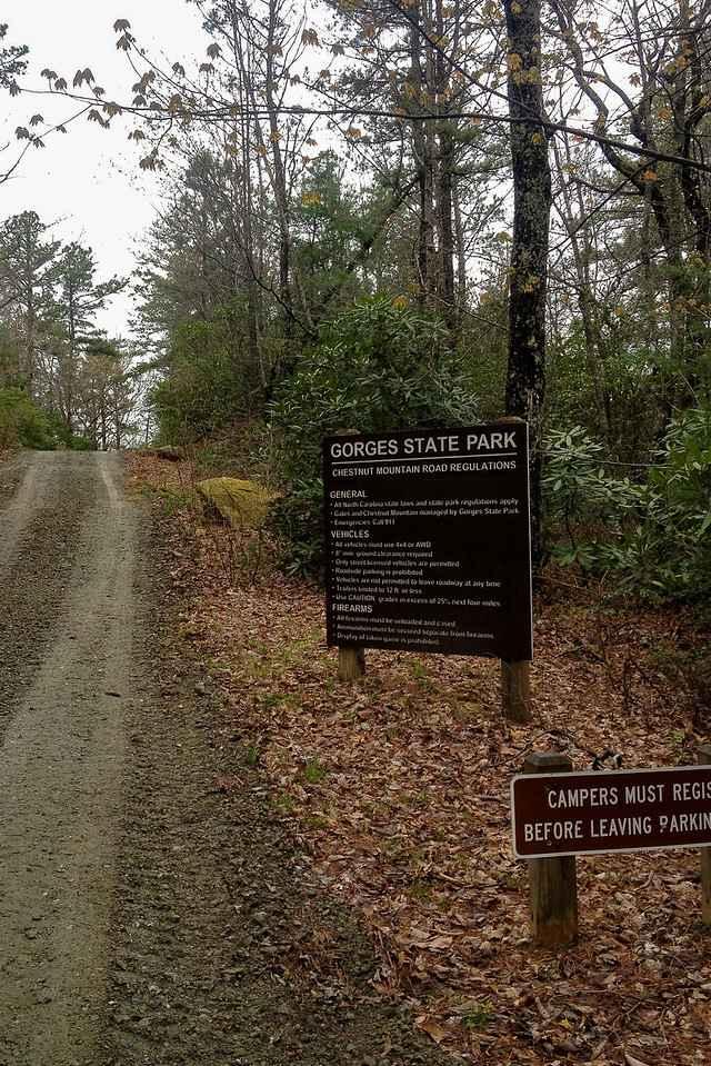
Chestnut Ridge Road/Auger Hole Road
Total Miles
6.4
Tech Rating
Moderate
Best Time
Spring, Summer, Fall, Winter
Learn more about Chowan Game Lands - Bear Spotter
Chowan Game Lands - Bear Spotter
Total Miles
3.1
Tech Rating
Easy
Best Time
Fall, Winter
ATV trails in North Carolina

Learn more about 1B Shortcut 
1B Shortcut
Total Miles
0.2
Tech Rating
Easy
Best Time
Spring, Fall, Summer, Winter
UTV/side-by-side trails in North Carolina
Learn more about 1B Shortcut
1B Shortcut
Total Miles
0.2
Tech Rating
Easy
Best Time
Spring, Fall, Summer, Winter
Learn more about 1B Upper
1B Upper
Total Miles
0.3
Tech Rating
Moderate
Best Time
Spring, Fall, Summer, Winter
The onX Offroad Difference
onX Offroad combines trail photos, descriptions, difficulty ratings, width restrictions, seasonality, and more in a user-friendly interface. Available on all devices, with offline access and full compatibility with CarPlay and Android Auto. Discover what you’re missing today!