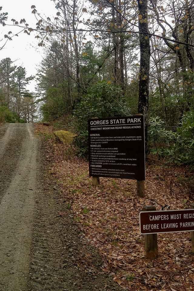
Chestnut Ridge Road/Auger Hole Road
Total Miles
6.4
Technical Rating
Best Time
Spring, Summer, Fall, Winter
Trail Type
Full-Width Road
Accessible By
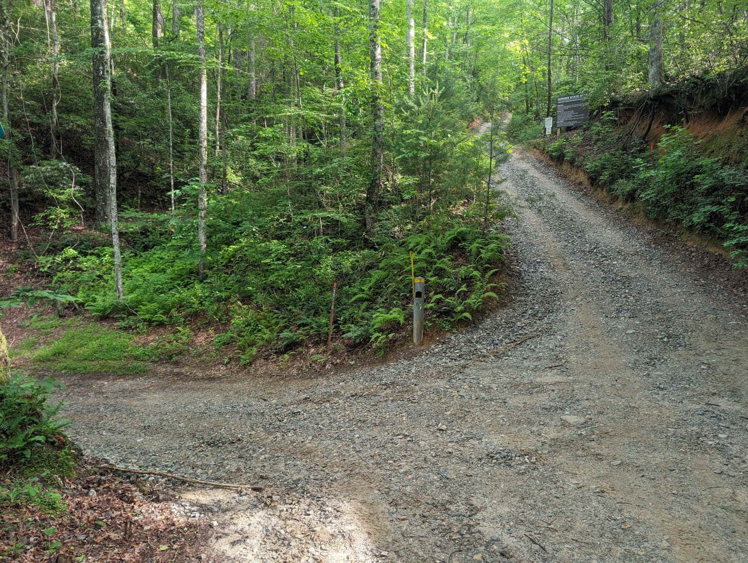
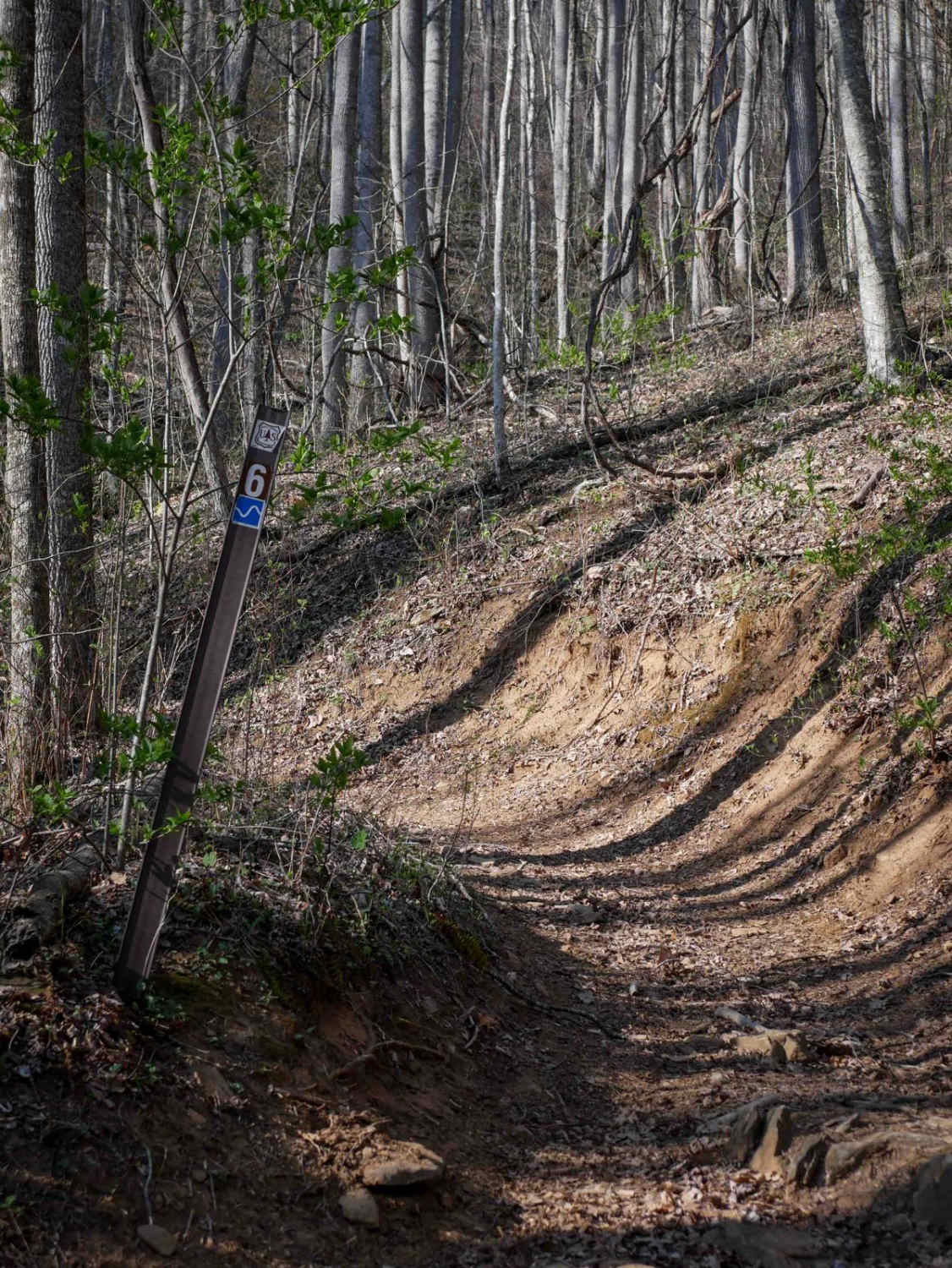
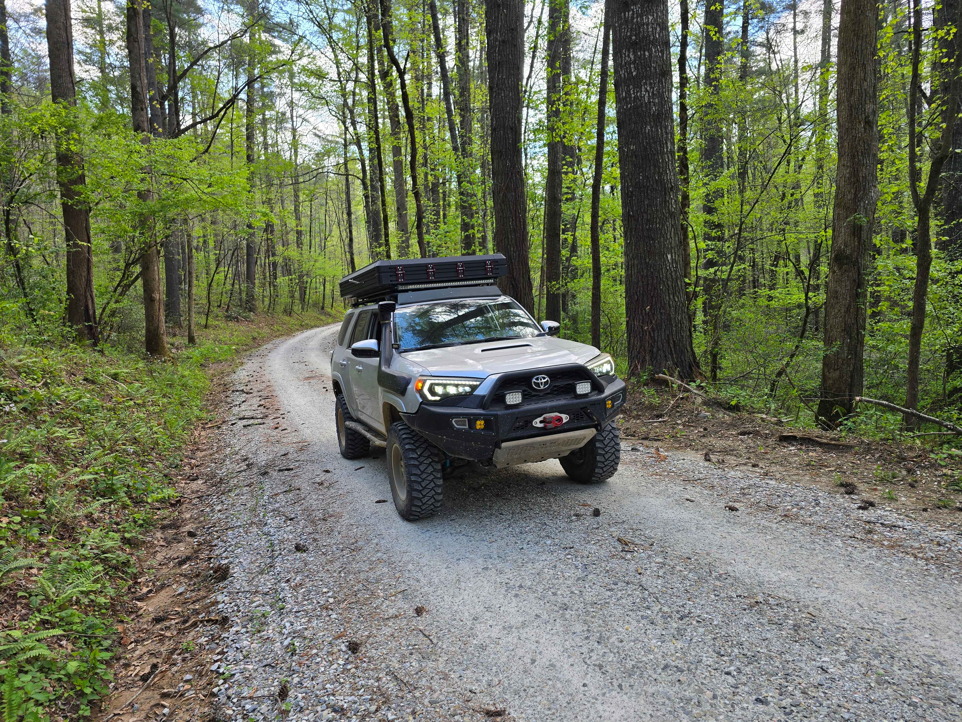
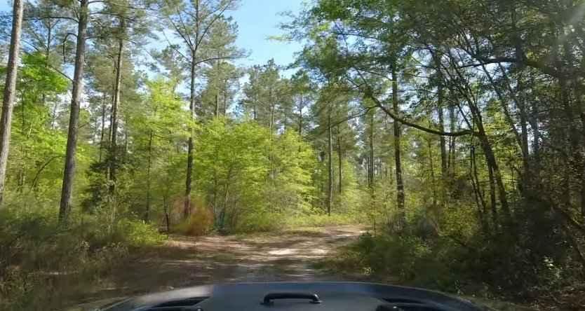
Trail Overview
This out-and-back trail leads to a secluded camp spot on the Horsepasture River, which is a great place to take a dip on a hot summer day. It is tight with many switchbacks along the way. It can be accomplished with any stock, high-clearance 4WD, although pinstriping is very likely. 4-low is recommended to keep brake temperatures down. Airing down at the parking lot is also recommended, as many of the climbs are scrabbly. Come and enjoy the more private area of Gorges State Park.
Photos of Chestnut Ridge Road/Auger Hole Road
Difficulty
The trail leading out to the Horsepasture River is mostly downhill with 1 major climb and would be rated a 4 or so by itself. The climbs back out are long, some with sharp turns in the middle and some with more significant off-camber nature. The trail can still be done in a full-size pulling a camping trailer.
Status Reports
Chestnut Ridge Road/Auger Hole Road can be accessed by the following ride types:
- High-Clearance 4x4
- SUV
Chestnut Ridge Road/Auger Hole Road Map
Popular Trails
Sunset Ridge Trail 6
Farley Cove - FS 407
Chowan Swamp Gamelands
The onX Offroad Difference
onX Offroad combines trail photos, descriptions, difficulty ratings, width restrictions, seasonality, and more in a user-friendly interface. Available on all devices, with offline access and full compatibility with CarPlay and Android Auto. Discover what you’re missing today!