Upper Roses Creek - FS 210
Total Miles
4.6
Technical Rating
Best Time
Spring, Summer, Fall
Trail Type
Full-Width Road
Accessible By
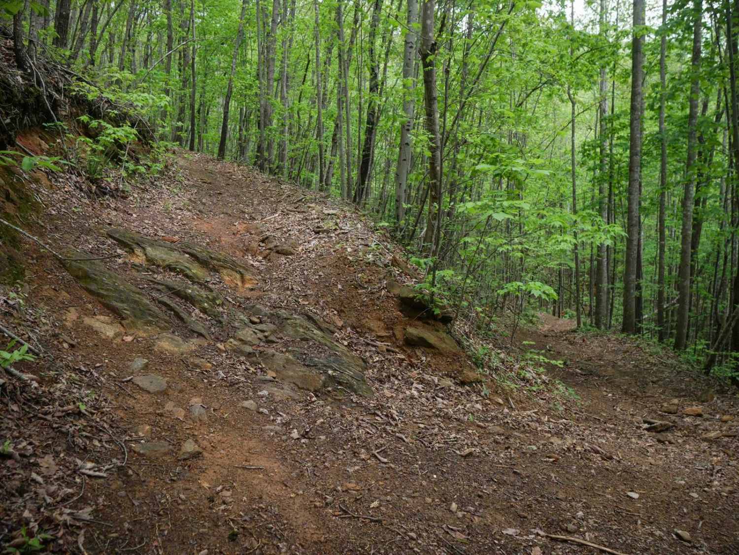
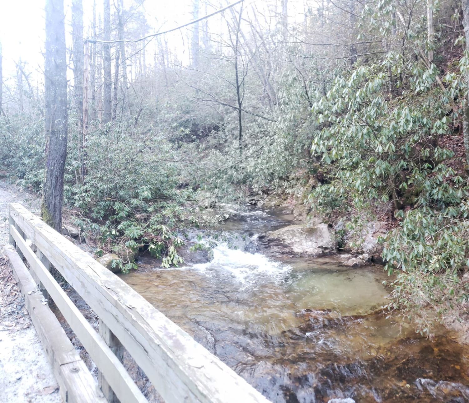
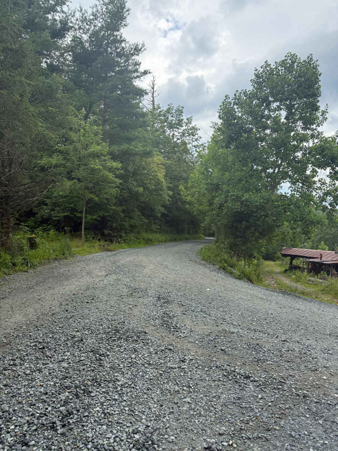
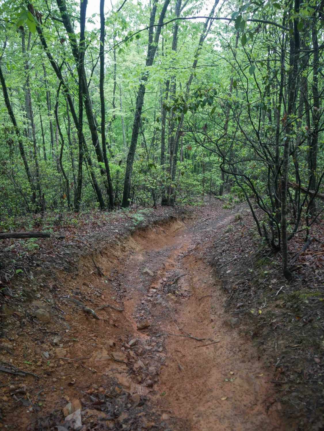
Trail Overview
Forest Service Road 210, also known as Roses Creek Road, begins at the south end of Table Rock Road. This route is popular for hiking access to three nearby trails, dispersed camping, and seasonal deer and dog hunting. The road is fairly well maintained with gravel over hard-packed dirt. Some sections are narrow with designated pull-offs, while others are wide enough for two vehicles to pass. A single water crossing is marked with a caution sign advising care during periods of high water or heavy rain.
Photos of Upper Roses Creek - FS 210


Difficulty
This well-maintained gravel-over-dirt road features several short switchbacks and blind corners. It narrows to a single lane in many sections but offers numerous pull-offs for safe passing.
Status Reports
Upper Roses Creek - FS 210 can be accessed by the following ride types:
- High-Clearance 4x4
- SUV
- SxS (60")
- ATV (50")
- Dirt Bike
Upper Roses Creek - FS 210 Map
Popular Trails
Green River Rd
Watauga Turnpike - FS 45
The onX Offroad Difference
onX Offroad combines trail photos, descriptions, difficulty ratings, width restrictions, seasonality, and more in a user-friendly interface. Available on all devices, with offline access and full compatibility with CarPlay and Android Auto. Discover what you’re missing today!