Deep Gap - FR 71
Total Miles
5.9
Technical Rating
Best Time
Fall, Summer, Spring
Trail Type
Full-Width Road
Accessible By
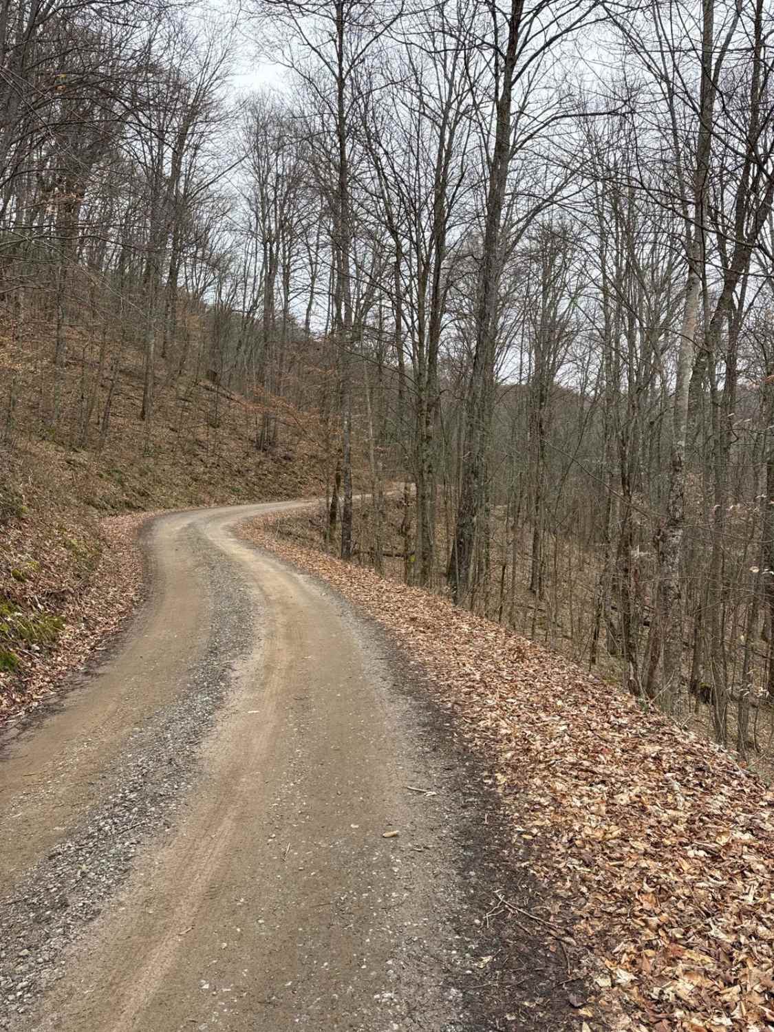
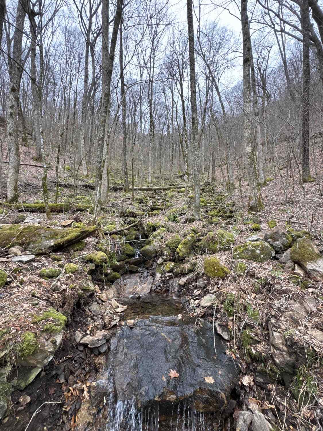
Trail Overview
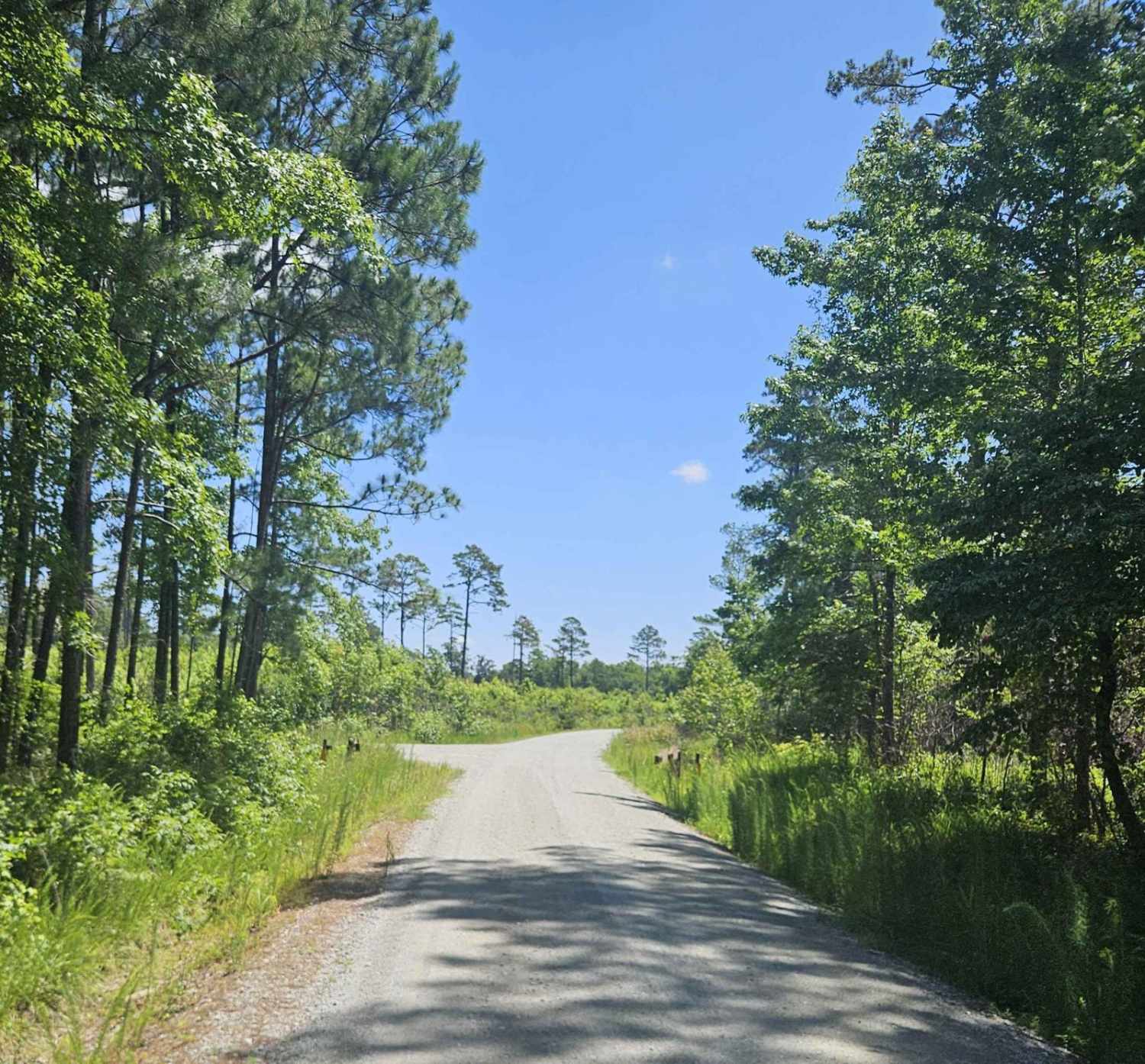
The Deep Gap Trail, also known as FR 71, takes you from US 64 up into the mountains to the Deep Gap hiking trail in the Nantahala National Forest in North Carolina. There are several other hiking opportunities on the way. The trail is a gravel forestry road with some soft sand spots that can turn into mud holes after heavy rain. The road is not always wide enough for two vehicles to pass. 4WD and high clearance are recommended, especially during Winter. All vehicles must be street-legal. The Nantahala National Forest lies in the mountains and valleys of southwestern North Carolina. The largest of North Carolina's four National Forests, the Nantahala encompasses 531,148 acres with elevations ranging from 5,800 feet at Lone Bald in Jackson County to 1,200 feet in Cherokee County along Hiwassee River.
Photos of Deep Gap - FR 71
Difficulty
Easy road unless after heavy rain or during winter.
History
The Nantahala National Forest was established in 1920 under the authority of the 1911 Weeks Act. This act provided authority to acquire lands for national forests to protect watersheds, to provide timber, and to regulate the flow of navigable streams.
Deep Gap - FR 71 can be accessed by the following ride types:
- High-Clearance 4x4
- SUV
- SxS (60")
- ATV (50")
- Dirt Bike
Deep Gap - FR 71 Map
Popular Trails
Pettiford Creek Trail 6
Deep Gap - FR 71
Millis Road (128)
The onX Offroad Difference
onX Offroad combines trail photos, descriptions, difficulty ratings, width restrictions, seasonality, and more in a user-friendly interface. Available on all devices, with offline access and full compatibility with CarPlay and Android Auto. Discover what you’re missing today!