Off-Road Trails in North Carolina
Discover off-road trails in North Carolina
Learn more about Slickrock Road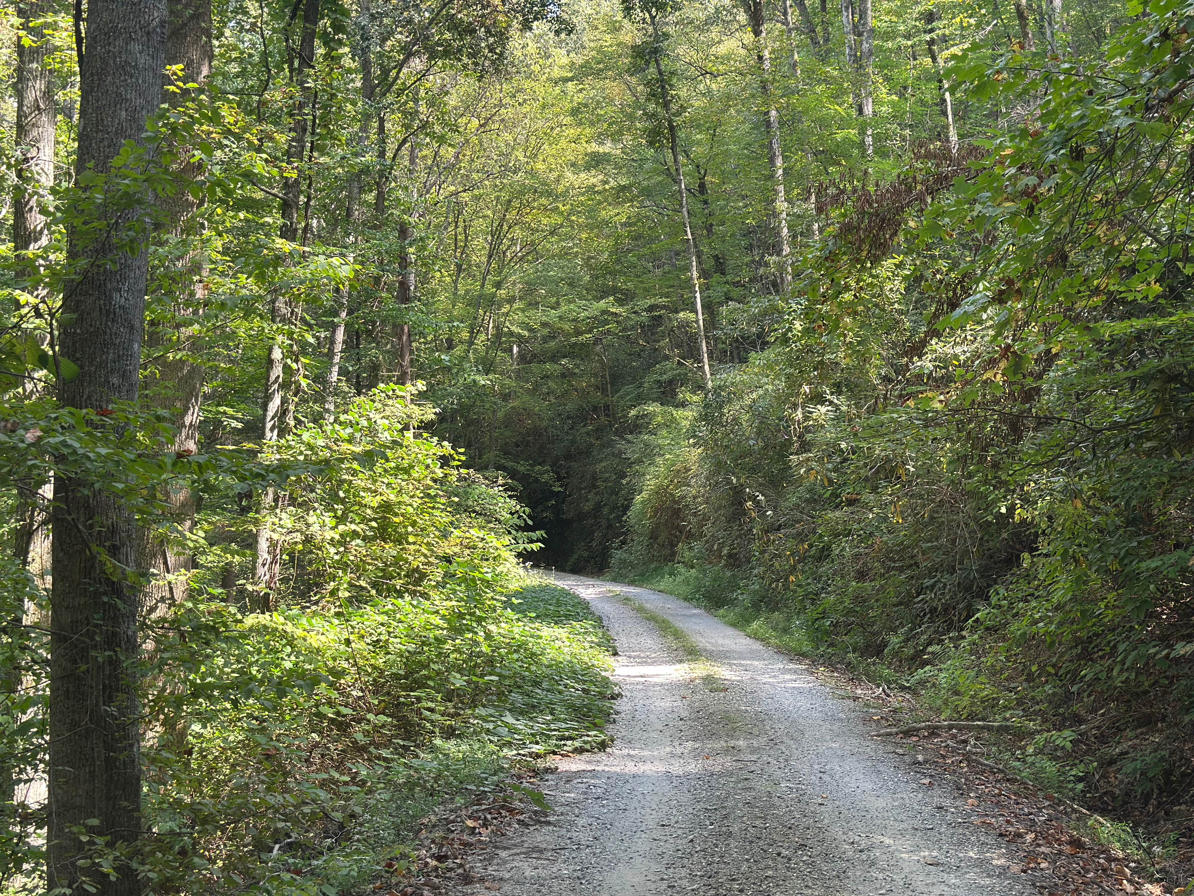
Slickrock Road
Total Miles
7.1
Tech Rating
Easy
Best Time
Spring, Summer, Fall, Winter
Learn more about Snowbird Road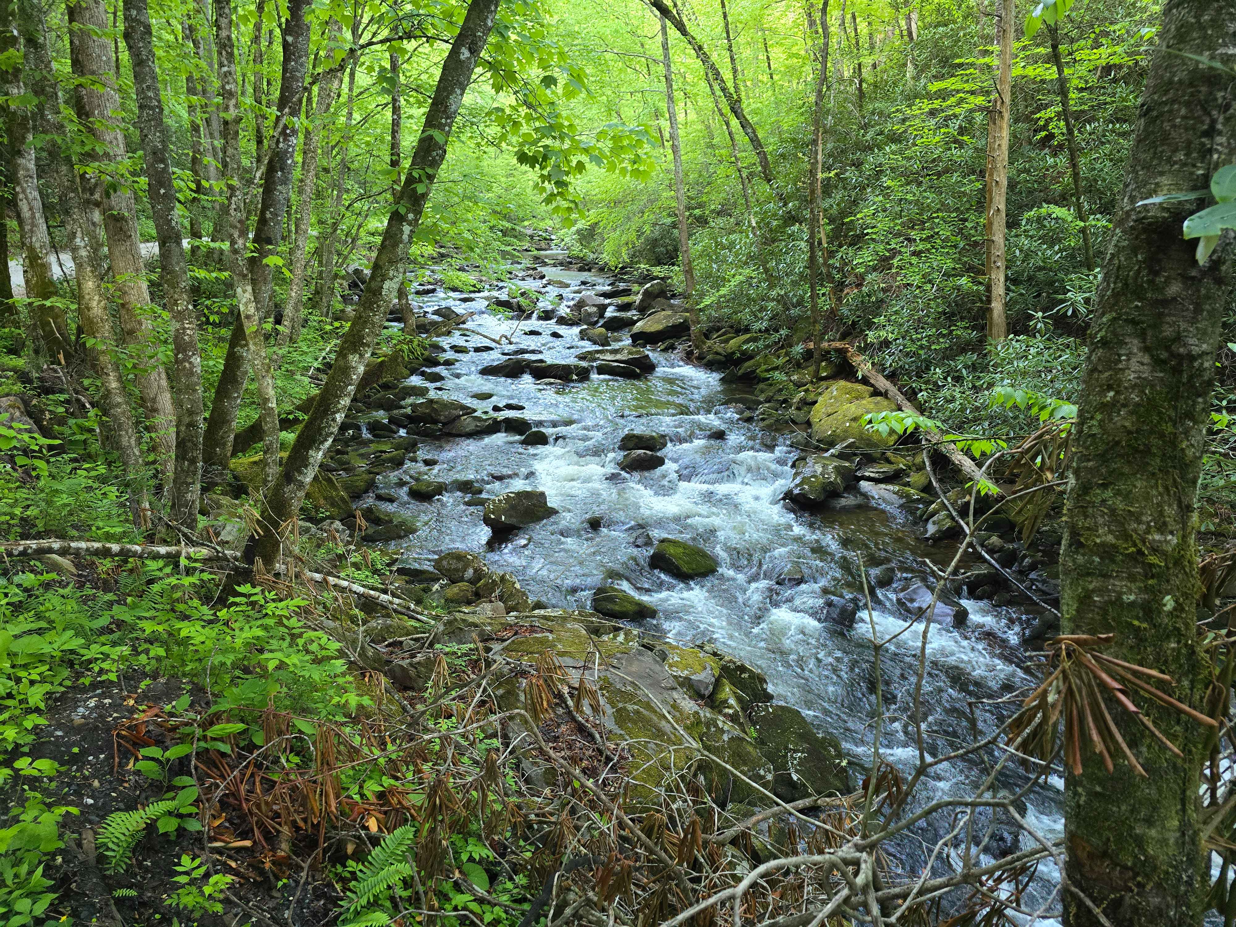
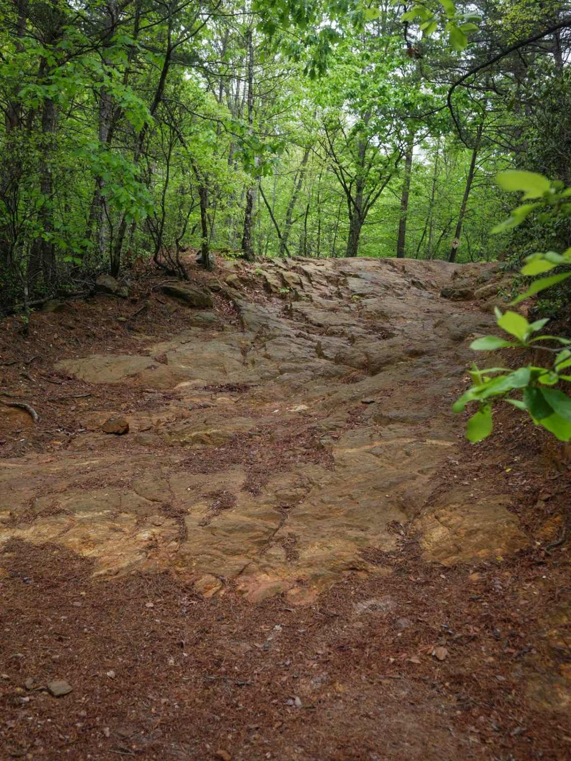
Snowbird Road
Total Miles
3.9
Tech Rating
Easy
Best Time
Spring, Summer, Fall, Winter
Learn more about South Core Banks - Back Road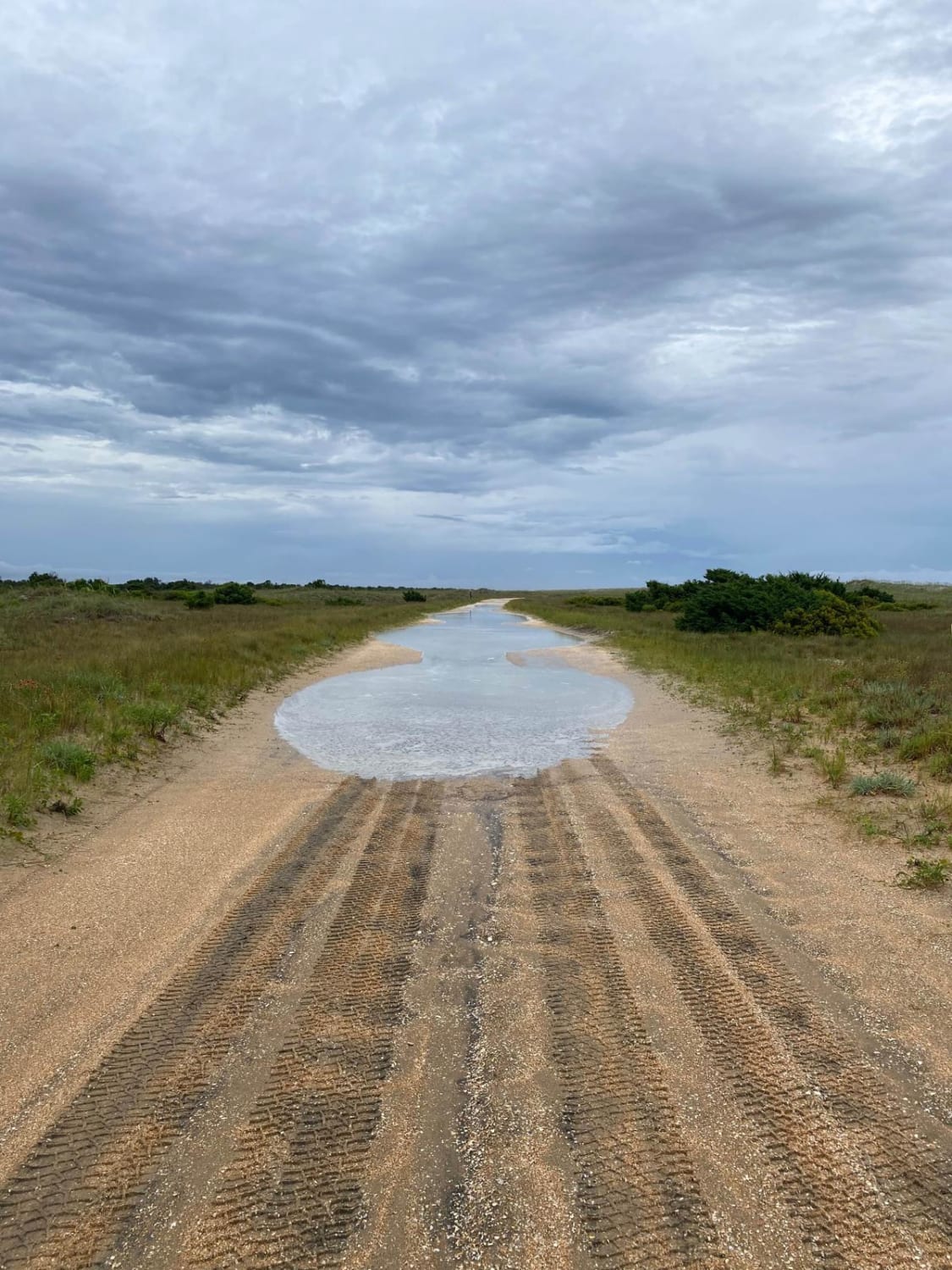
South Core Banks - Back Road
Total Miles
18.8
Tech Rating
Easy
Best Time
Spring, Summer, Fall

Learn more about Southwest Croatan National Forest Loop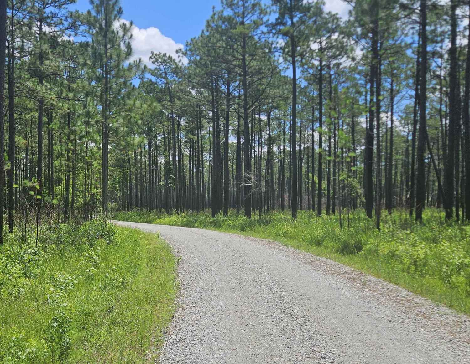
Southwest Croatan National Forest Loop
Total Miles
9.2
Tech Rating
Easy
Best Time
Spring, Summer, Fall, Winter
Learn more about Stage 1 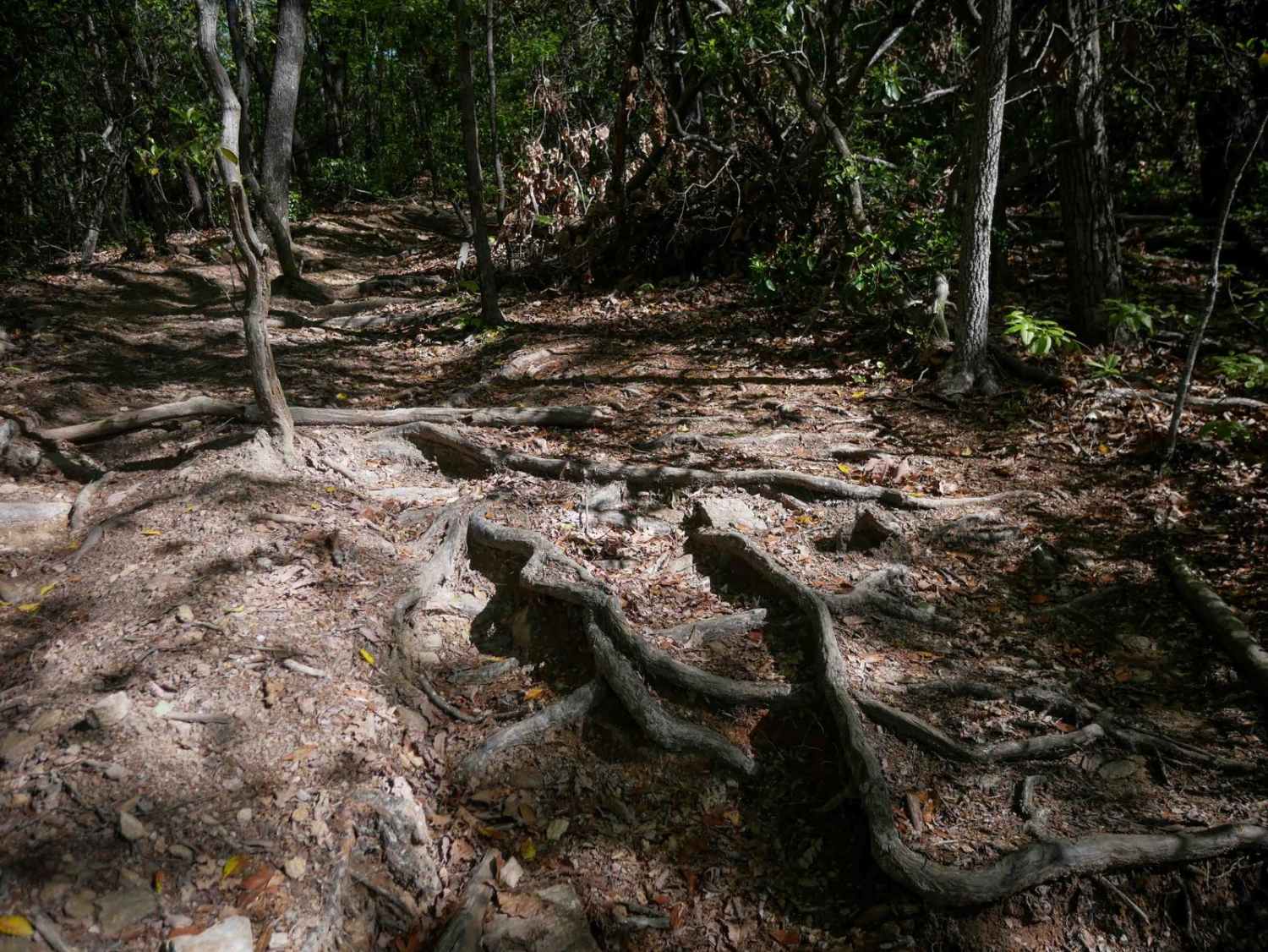
Stage 1
Total Miles
1.4
Tech Rating
Moderate
Best Time
Spring, Fall, Summer, Winter
Learn more about Stage 2 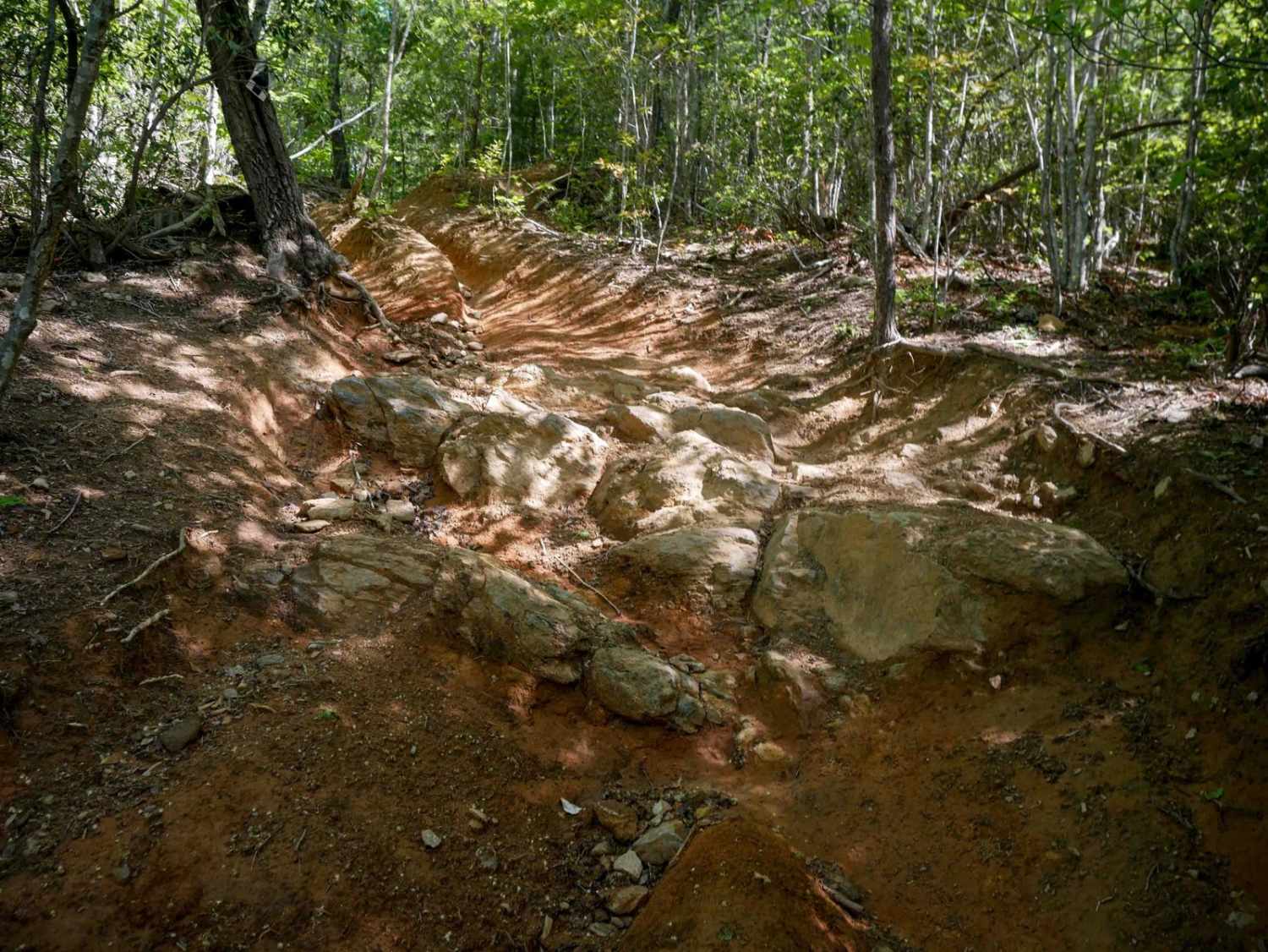
Stage 2
Total Miles
1.0
Tech Rating
Moderate
Best Time
Spring, Fall, Summer, Winter
Learn more about Stage 3 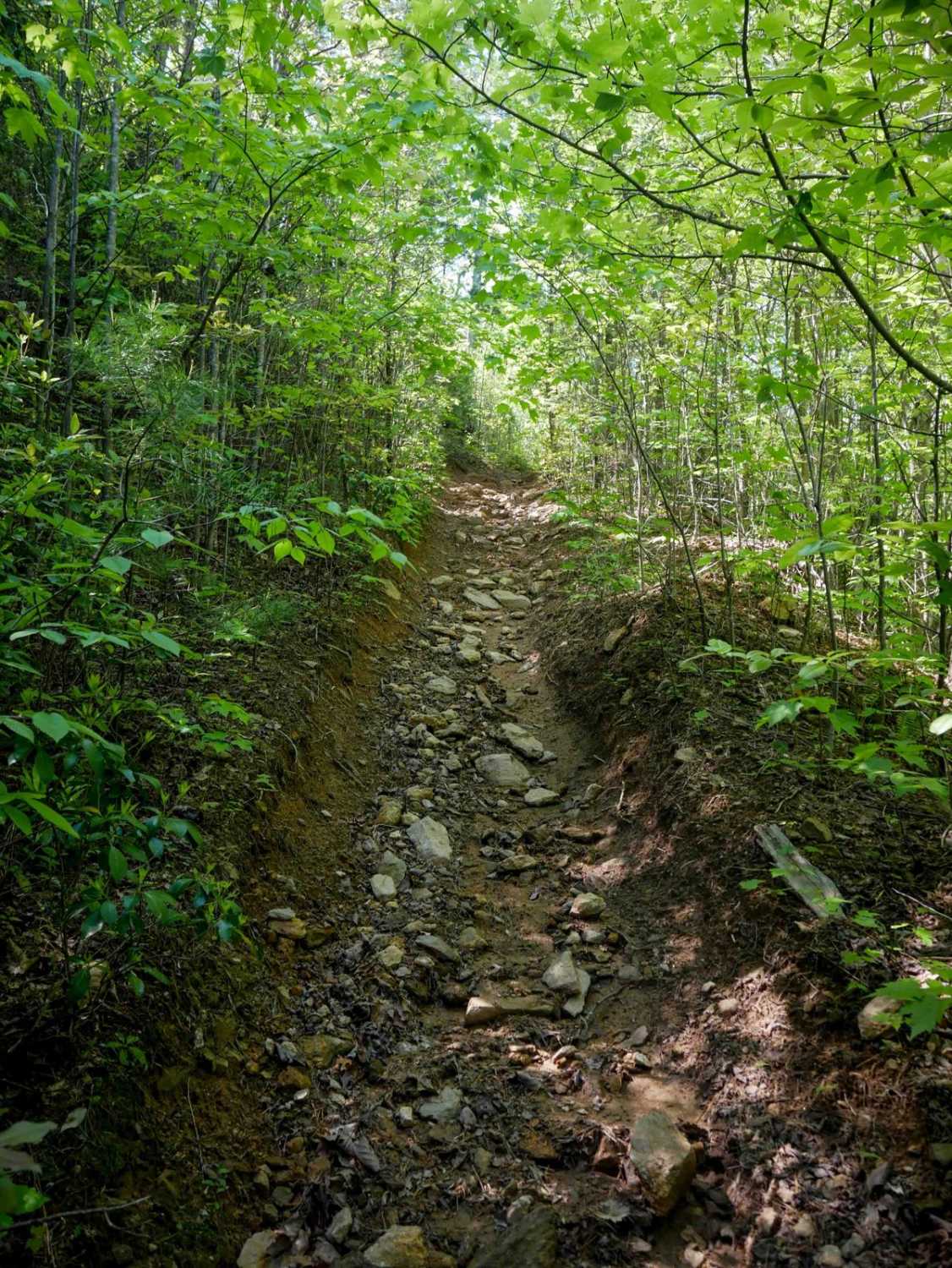
Stage 3
Total Miles
2.0
Tech Rating
Moderate
Best Time
Spring, Fall, Summer, Winter
Learn more about Stage 4 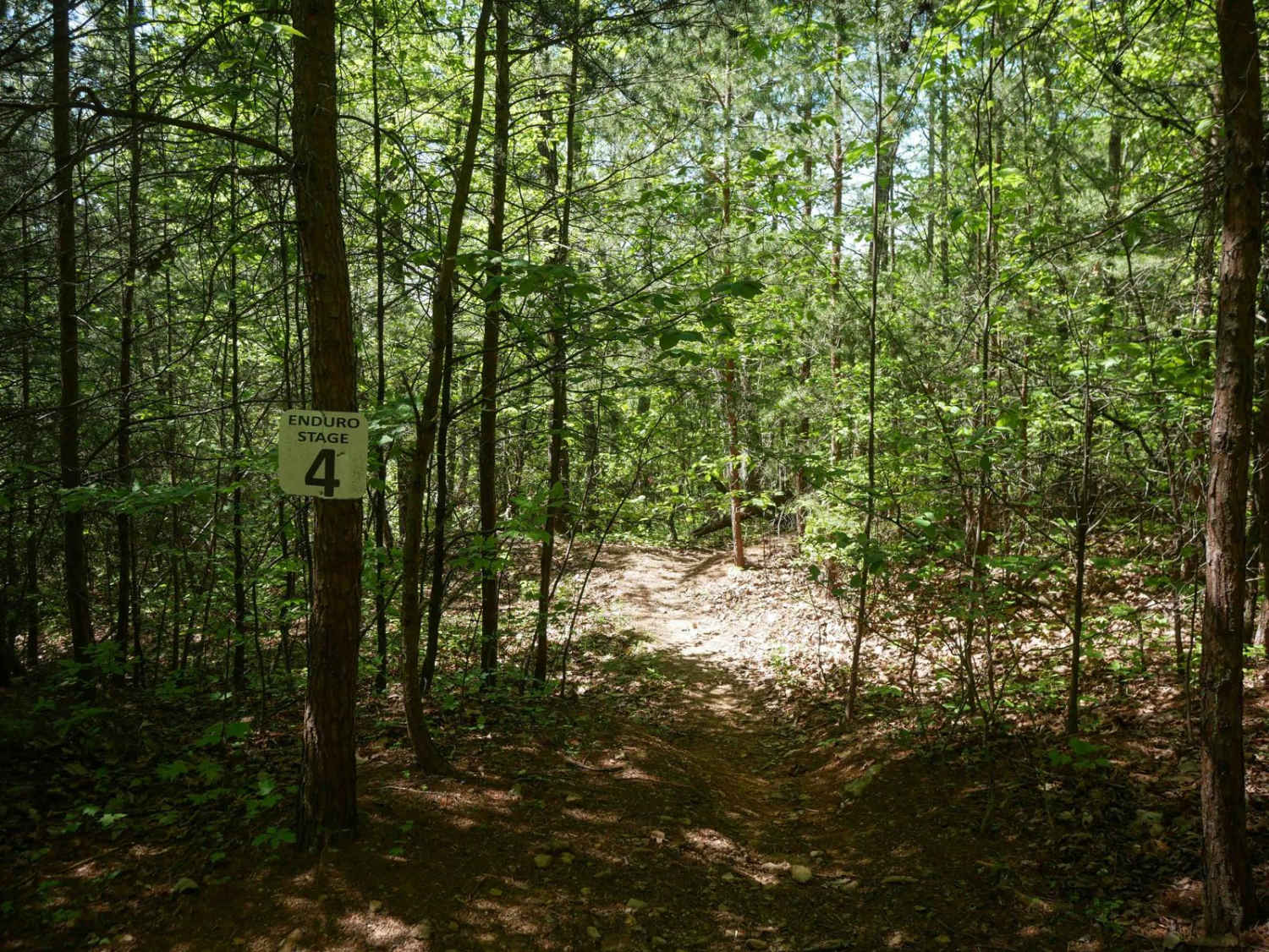
Stage 4
Total Miles
0.9
Tech Rating
Moderate
Best Time
Spring, Fall, Summer, Winter
Learn more about Stage 5 
Stage 5
Total Miles
2.2
Tech Rating
Moderate
Best Time
Spring, Fall, Summer, Winter
Learn more about Stage 6
Stage 6
Total Miles
0.8
Tech Rating
Moderate
Best Time
Spring, Fall, Summer, Winter
Learn more about Stage 7 
Stage 7
Total Miles
0.9
Tech Rating
Moderate
Best Time
Spring, Fall, Summer, Winter
Learn more about Stage 8 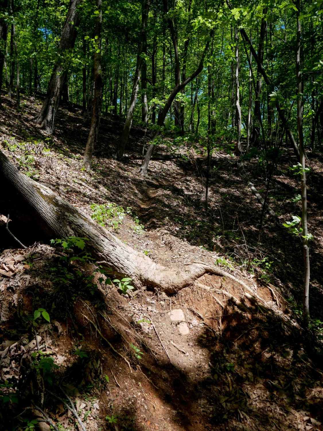
Stage 8
Total Miles
0.8
Tech Rating
Moderate
Best Time
Spring, Fall, Summer, Winter
Learn more about Stage 9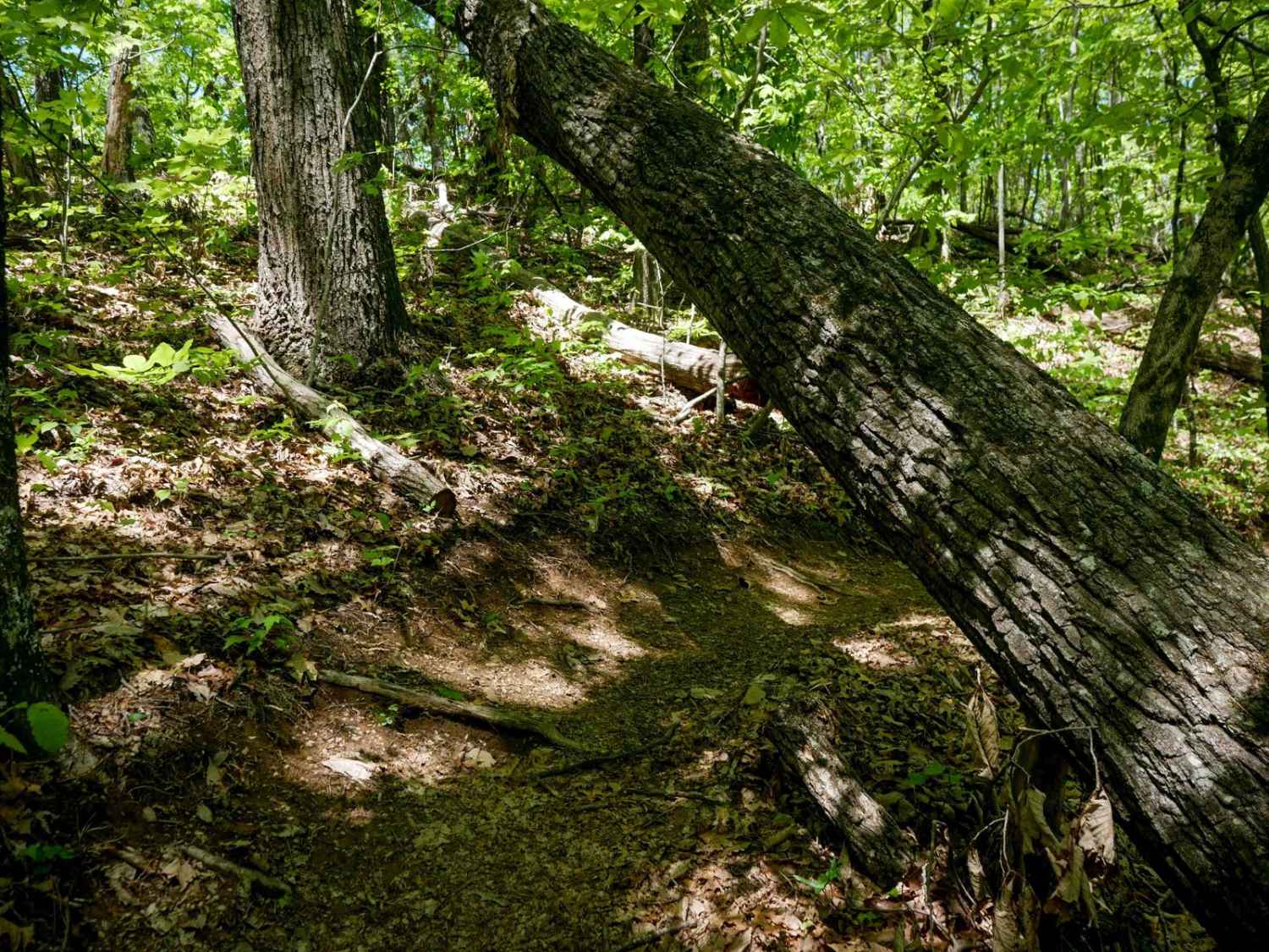
Stage 9
Total Miles
1.0
Tech Rating
Moderate
Best Time
Spring, Fall, Summer, Winter
Learn more about Steeles Creek - FS 228
Steeles Creek - FS 228
Total Miles
3.9
Tech Rating
Easy
Best Time
Spring, Summer, Fall
Learn more about Strausburg Lane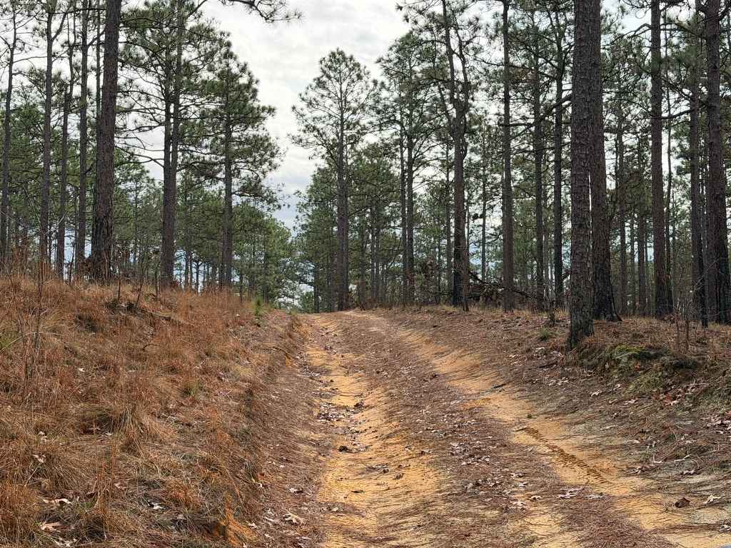
Strausburg Lane
Total Miles
5.5
Tech Rating
Easy
Best Time
Spring, Summer, Fall
Learn more about Sugarloaf Mountain Road
Sugarloaf Mountain Road
Total Miles
2.1
Tech Rating
Easy
Best Time
Spring, Summer, Fall
Learn more about Sunset Connector Trail 9 (One-Way) 
Sunset Connector Trail 9 (One-Way)
Total Miles
1.4
Tech Rating
Easy
Best Time
Spring, Fall, Summer
Learn more about Sunset Ridge Trail 6 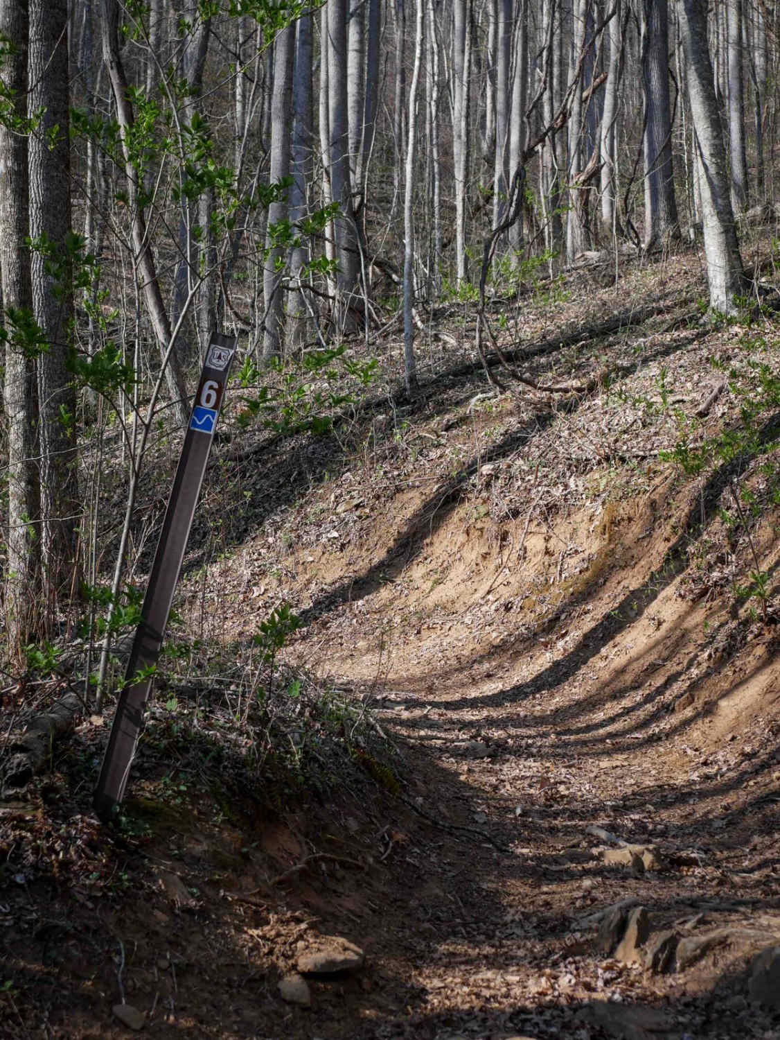
Sunset Ridge Trail 6
Total Miles
0.7
Tech Rating
Easy
Best Time
Spring, Fall, Summer
ATV trails in North Carolina

Learn more about 1B Shortcut 
1B Shortcut
Total Miles
0.2
Tech Rating
Easy
Best Time
Spring, Fall, Summer, Winter
UTV/side-by-side trails in North Carolina
Learn more about 1B Shortcut
1B Shortcut
Total Miles
0.2
Tech Rating
Easy
Best Time
Spring, Fall, Summer, Winter
Learn more about 1B Upper
1B Upper
Total Miles
0.3
Tech Rating
Moderate
Best Time
Spring, Fall, Summer, Winter
The onX Offroad Difference
onX Offroad combines trail photos, descriptions, difficulty ratings, width restrictions, seasonality, and more in a user-friendly interface. Available on all devices, with offline access and full compatibility with CarPlay and Android Auto. Discover what you’re missing today!