Sunset Connector Trail 9 (One-Way)
Total Miles
1.4
Technical Rating
Best Time
Spring, Fall, Summer
Trail Type
60" Trail
Accessible By
Trail Overview
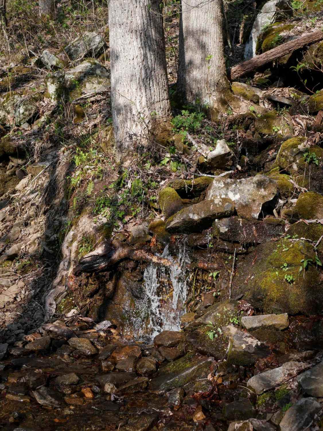
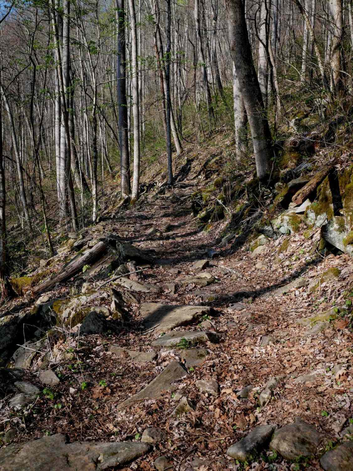
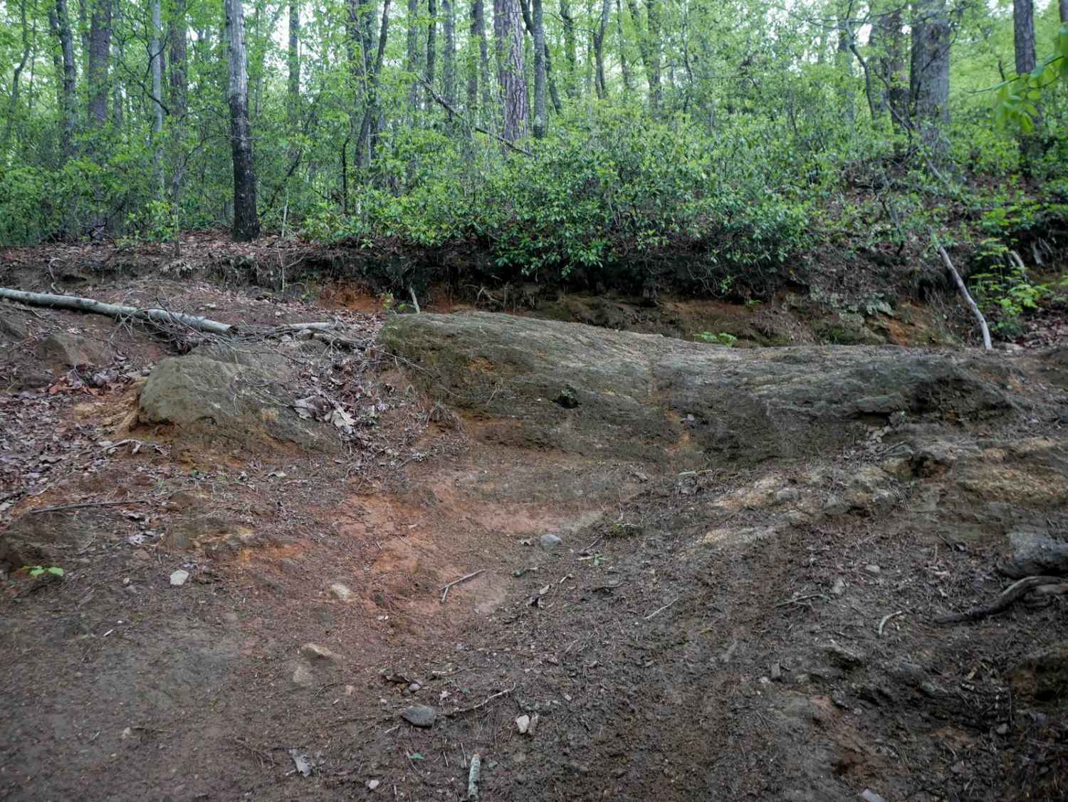
Trail 9 is a 1.3-mile, wide path that traces the side of the mountain, offering a mellow and scenic ride. Mostly descending from north to south, it's generally easygoing with leaf cover hiding loose rocks, sticks, and roots here and there. A short section next to a trickling mossy waterfall is fun to see, and adds a bit more of a challenge with bigger embedded rocks creating a briefly jarring surface. Overall, it's a beautiful and easy trail. A Do Not Enter sign at the south end of this trail indicates that it is one-way directional, North to South.
Photos of Sunset Connector Trail 9 (One-Way)
Difficulty
This is an overall easy OHV trail with minimal technical aspects except a few bigger loose rocks at a creek crossing.
Sunset Connector Trail 9 (One-Way) can be accessed by the following ride types:
- SxS (60")
- ATV (50")
- Dirt Bike
Sunset Connector Trail 9 (One-Way) Map
Popular Trails


Bogue Road Spur 3
The onX Offroad Difference
onX Offroad combines trail photos, descriptions, difficulty ratings, width restrictions, seasonality, and more in a user-friendly interface. Available on all devices, with offline access and full compatibility with CarPlay and Android Auto. Discover what you’re missing today!