Thrower Lane
Total Miles
2.5
Technical Rating
Best Time
Spring, Summer, Fall
Trail Type
Full-Width Road
Accessible By
Trail Overview
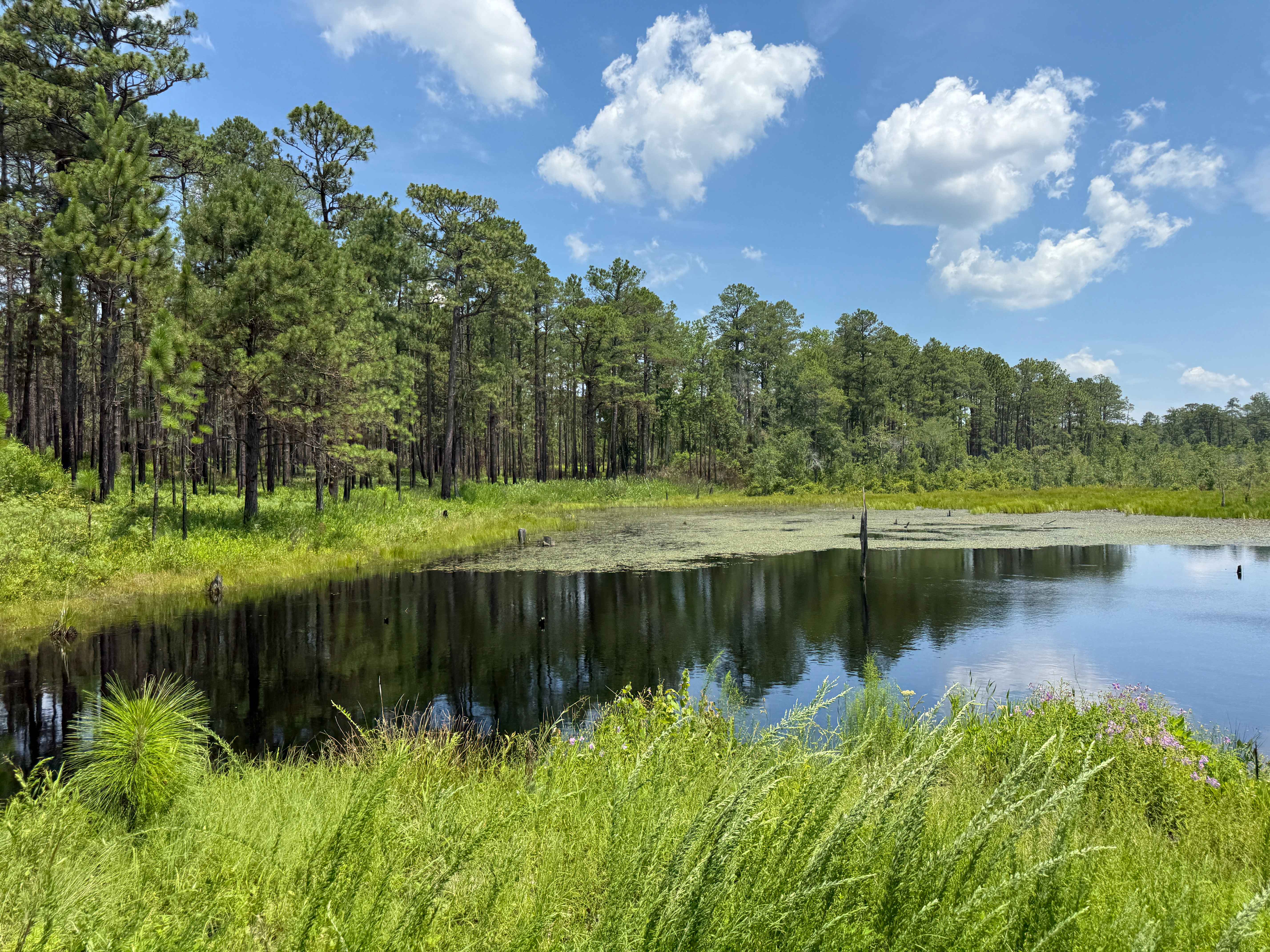
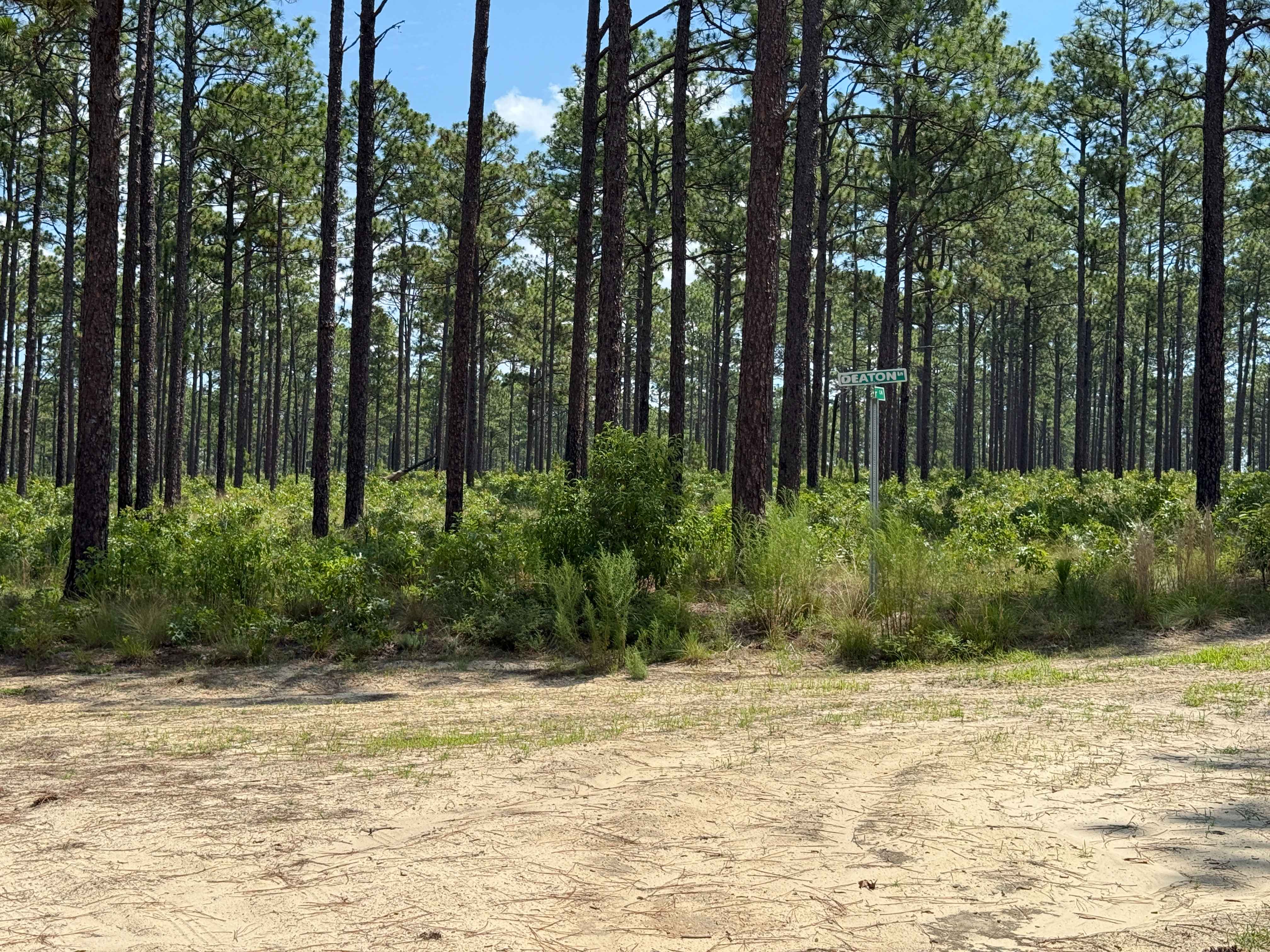
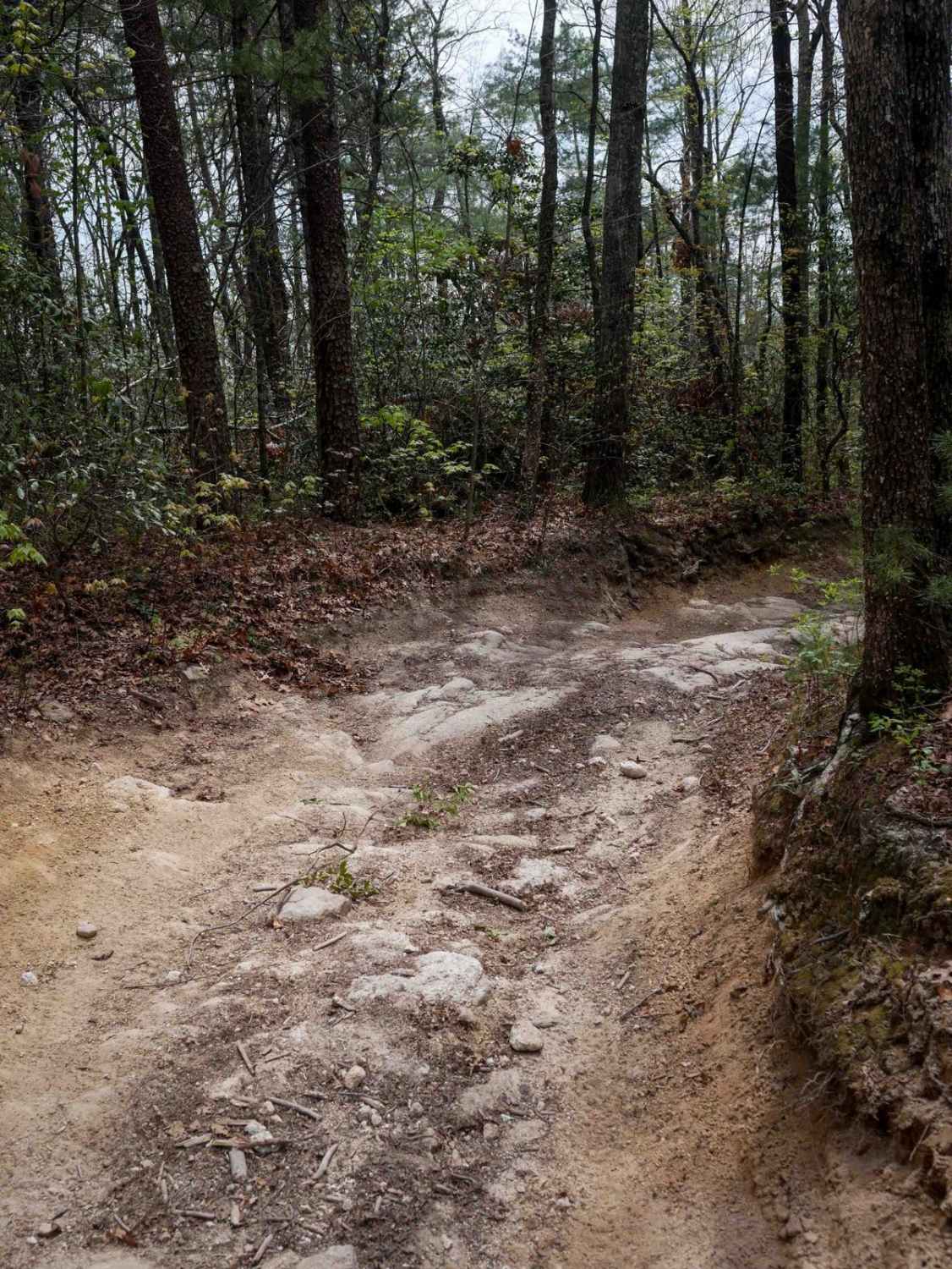
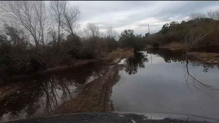
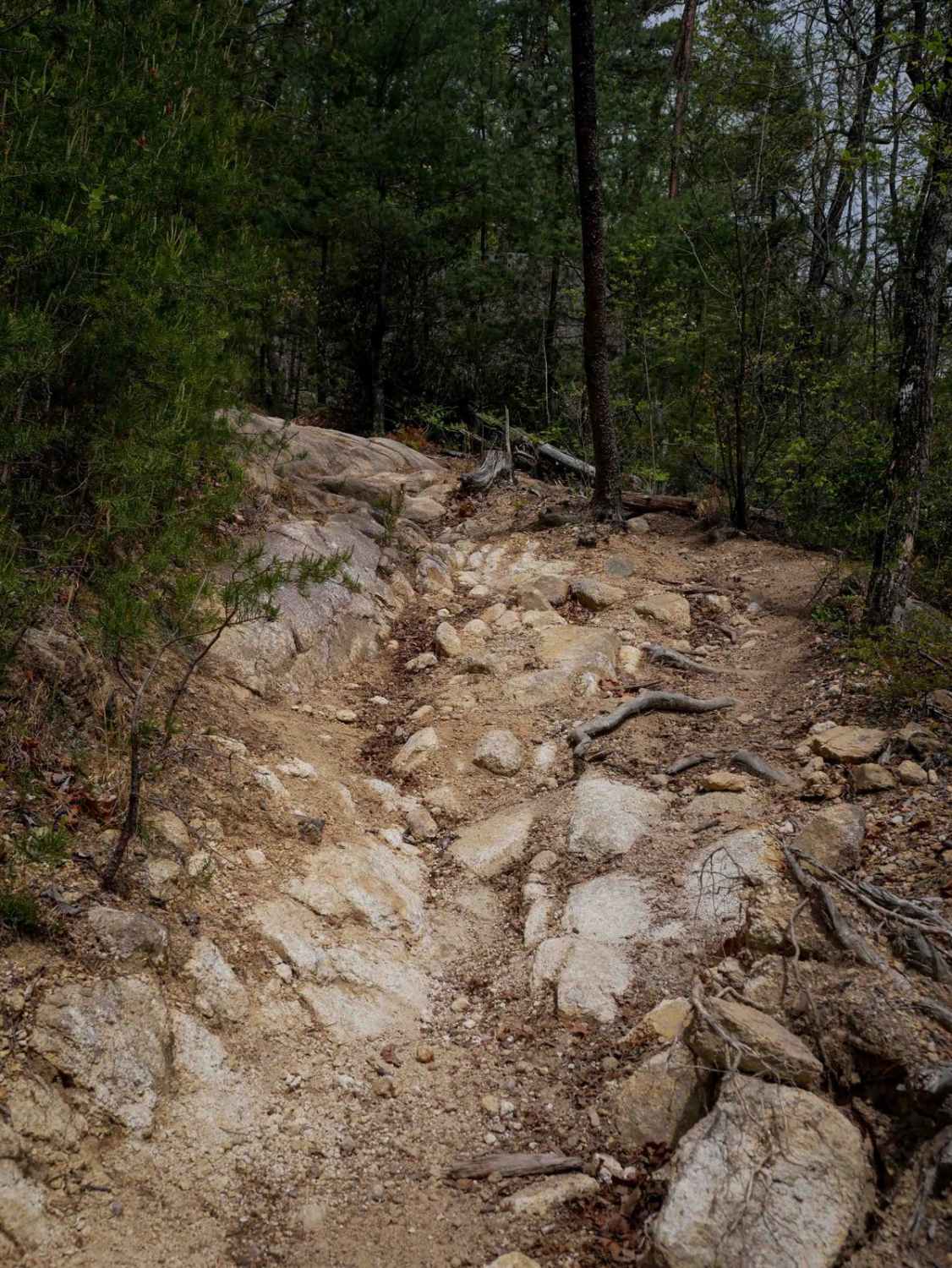
Thrower Lane is a shorter Forest Service road within the Sandhills Game Lands that provides views and access to the eastern end of Bones Fork, a flooded pond. This area frequently overflows, creating small water crossings of varying depths. While these crossings may present a minor challenge, they typically have little to no current and are manageable for vehicles with sufficient ground clearance. Additional obstacles include patches of loose sand, medium-sized ruts up to about 6 inches deep, and the occasional small mud pit following rainfall. For the most part, the road surface is well maintained, though drivers may still encounter overgrown trees, minor washouts, and potholes that add some technical variety to the trail.
Photos of Thrower Lane
Difficulty
Thrower Lane is possibly one of the more challenging access roads in the Sandhills Game Lands, featuring a water crossing, small to medium-sized ruts, and occasional mud pits or puddles depending on recent rainfall. The water crossing, created by a pond backed up by a beaver dam, varies in depth but is typically around 3 inches during dry conditions. After heavier rain, however, the depth can increase significantly.
Status Reports
Thrower Lane can be accessed by the following ride types:
- High-Clearance 4x4
- SUV
Thrower Lane Map
Popular Trails
Ocean Pearl Road - The Gauntlet

Trail 3 Sullivan's Pass
The onX Offroad Difference
onX Offroad combines trail photos, descriptions, difficulty ratings, width restrictions, seasonality, and more in a user-friendly interface. Available on all devices, with offline access and full compatibility with CarPlay and Android Auto. Discover what you’re missing today!