FS 496
Total Miles
7.3
Technical Rating
Best Time
Spring, Summer, Fall
Trail Type
Full-Width Road
Accessible By
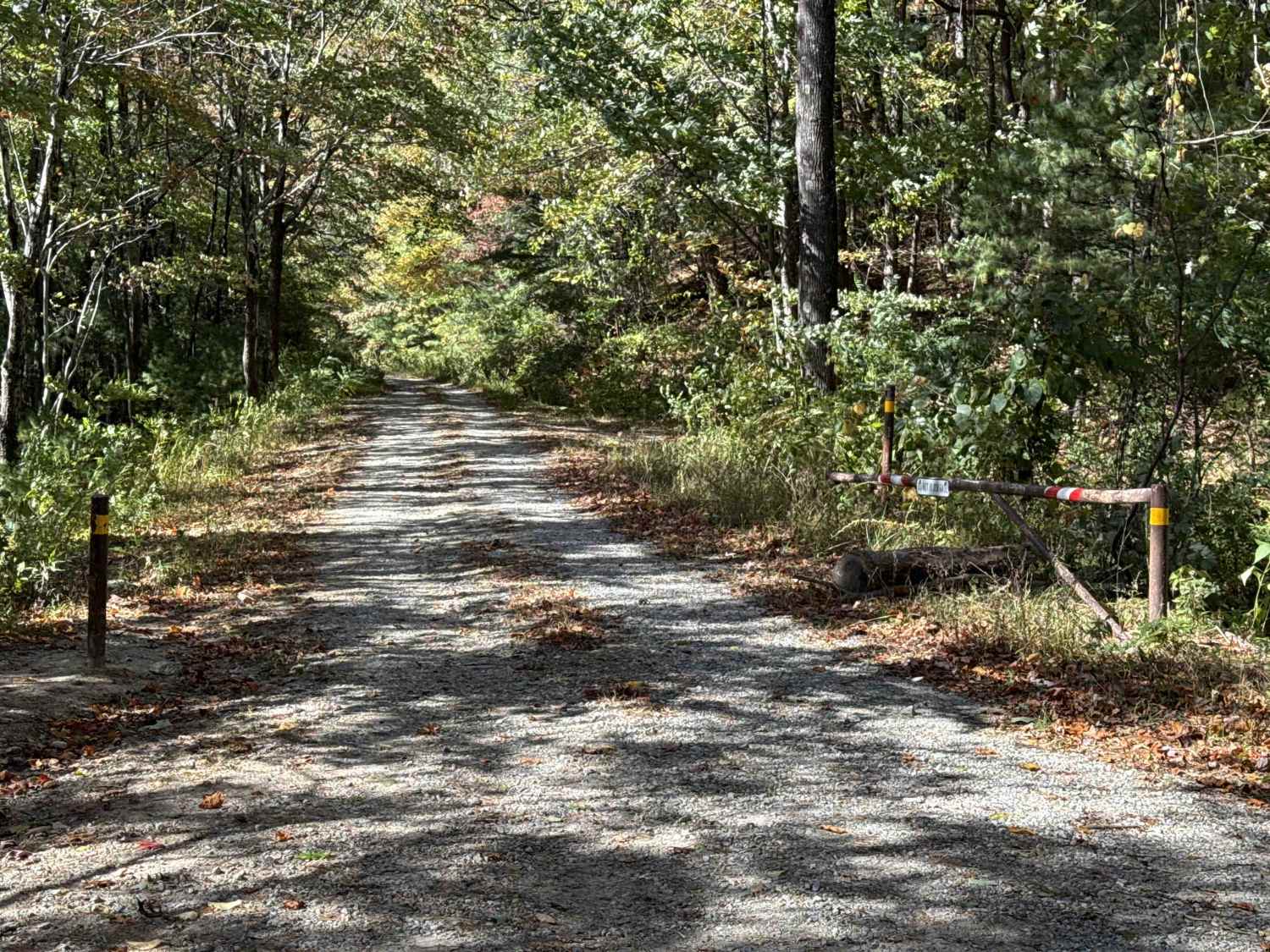
Trail Overview
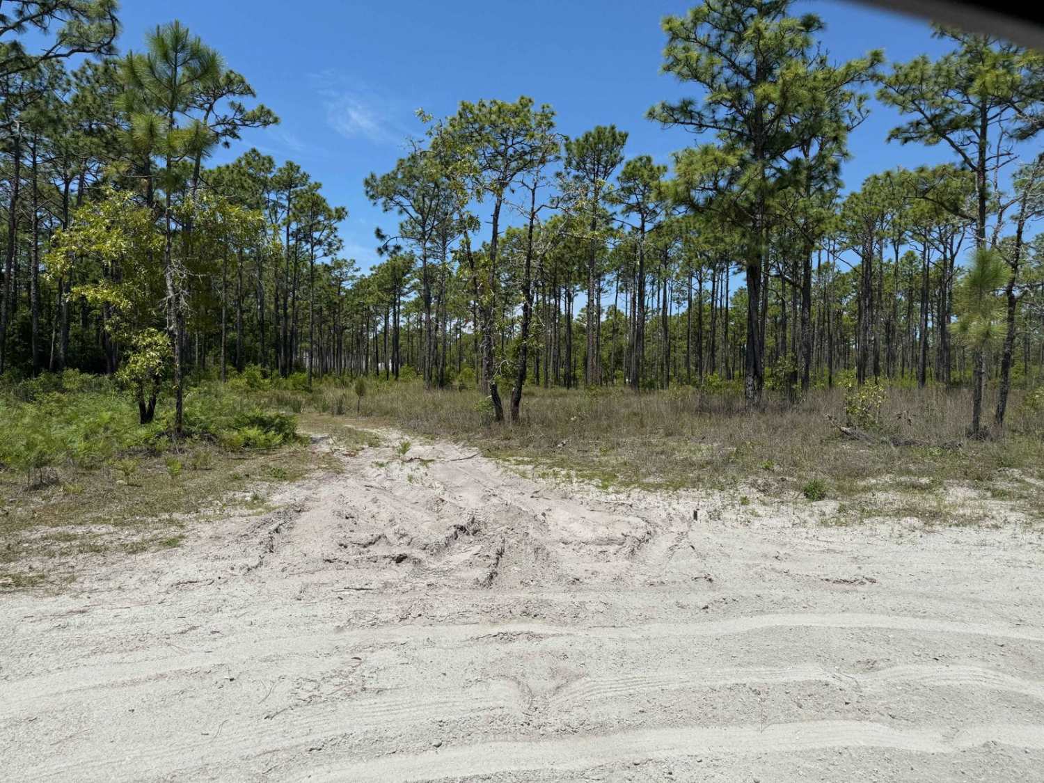
This Forest Service road is a well-maintained gravel route over hard-packed dirt with occasional small washes, typically less than a foot deep. It features multiple switchbacks bordered by scenic gorges on both sides and may have light water flow after rainfall. Some areas show signs of past washouts but have been well repaired. Dispersed camping opportunities are plentiful along the route.
Photos of FS 496

Difficulty
This road is well maintained with only minor washouts or small ruts appearing occasionally.
Status Reports
FS 496 can be accessed by the following ride types:
- High-Clearance 4x4
- SUV
- SxS (60")
- ATV (50")
- Dirt Bike
FS 496 Map
Popular Trails
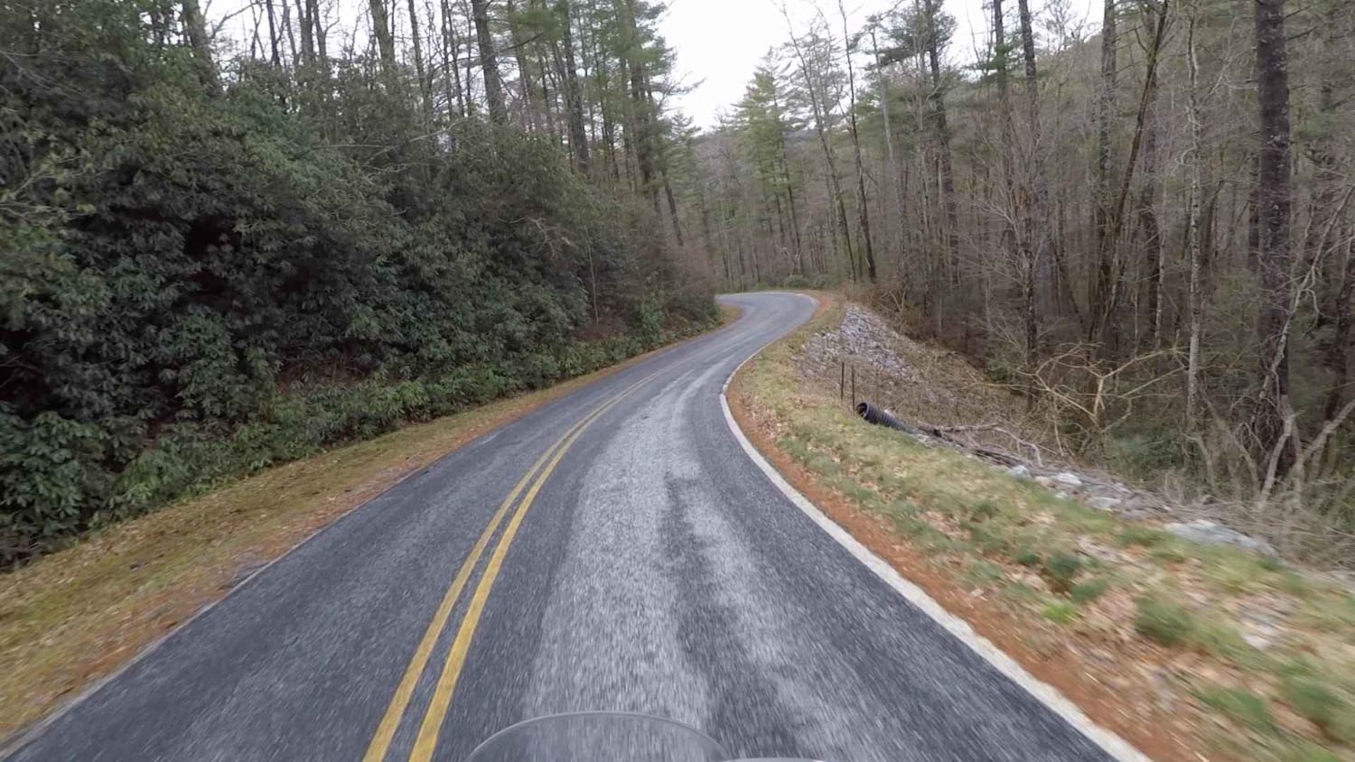
Tri State - SCAR Alternate
Holston Hunter Trail
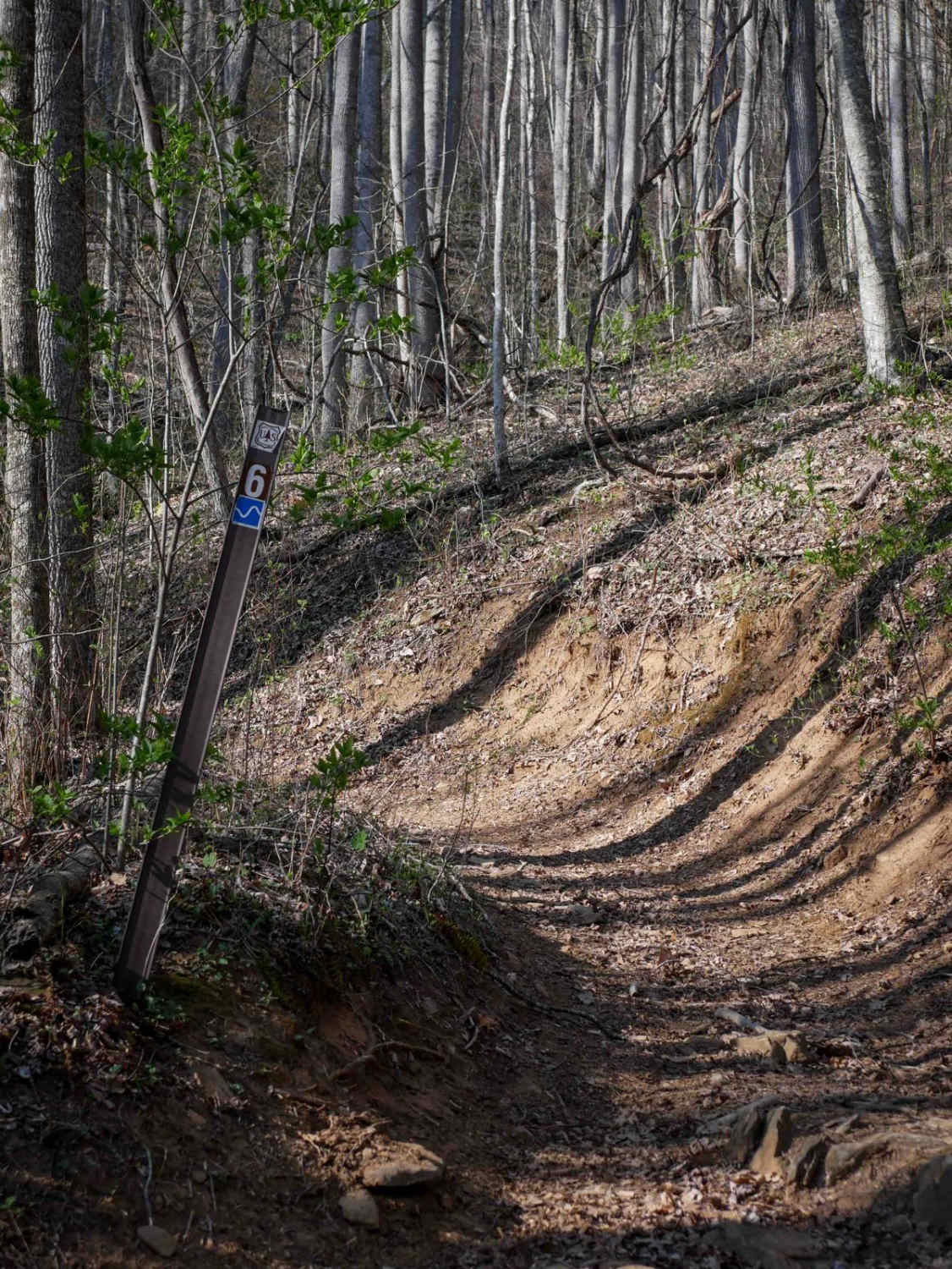
Sunset Ridge Trail 6
Pringle Road - FS 123
The onX Offroad Difference
onX Offroad combines trail photos, descriptions, difficulty ratings, width restrictions, seasonality, and more in a user-friendly interface. Available on all devices, with offline access and full compatibility with CarPlay and Android Auto. Discover what you’re missing today!