South Toe River
Total Miles
5.4
Technical Rating
Best Time
Fall
Trail Type
Full-Width Road
Accessible By
Trail Overview
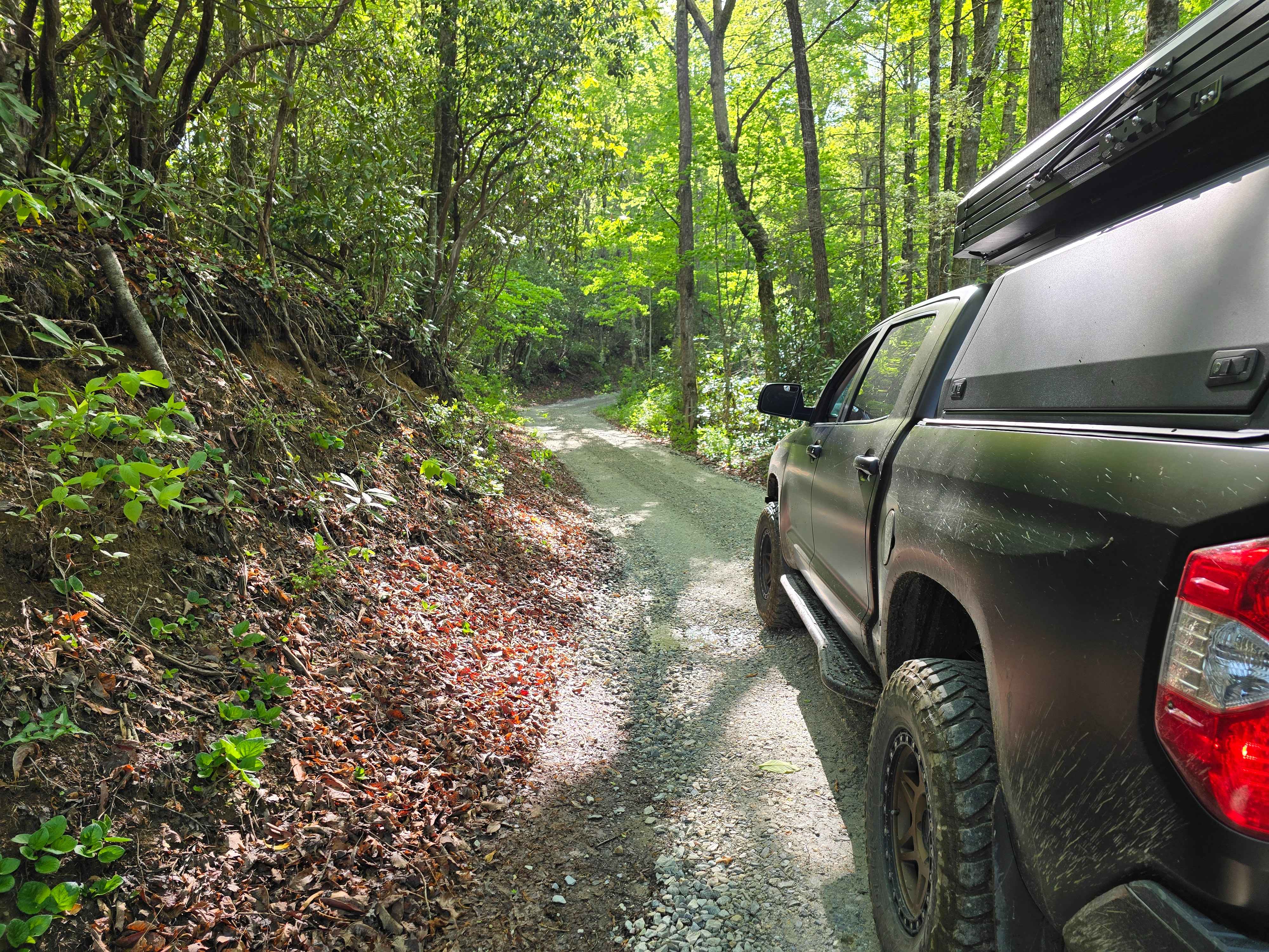
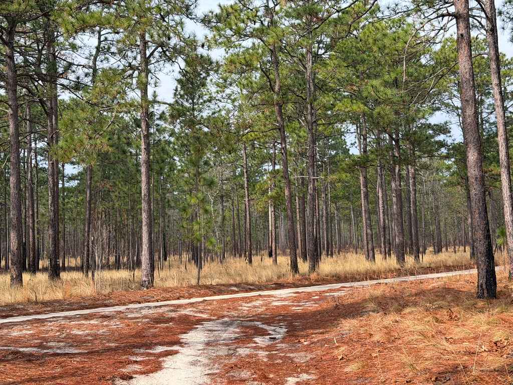
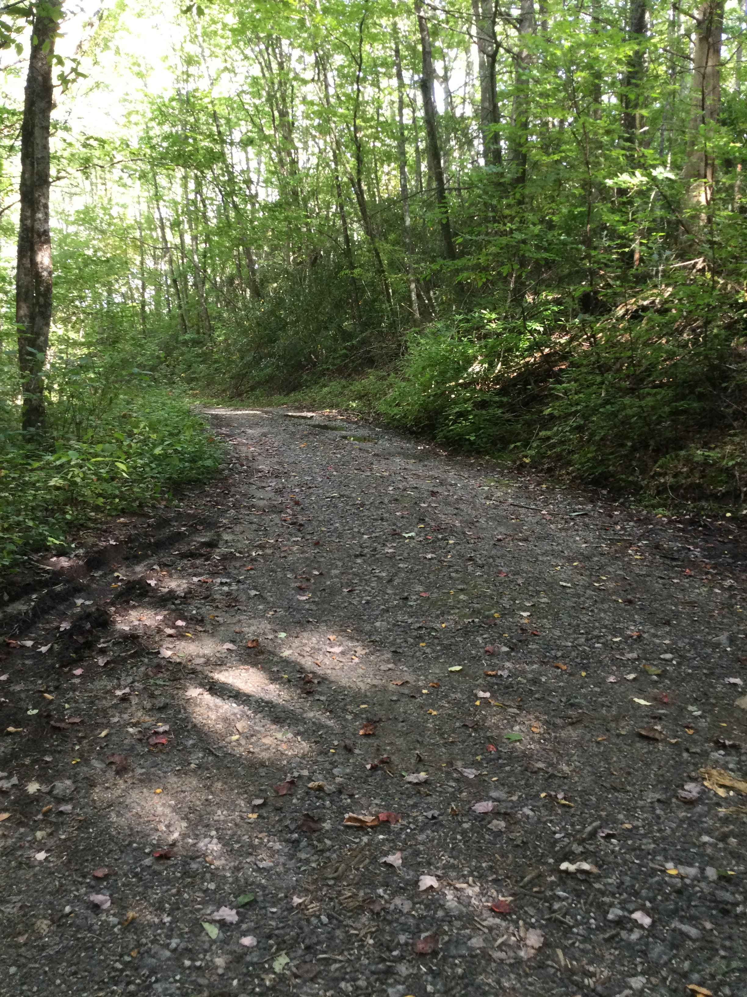
South Toe River is a basic, but scenic trail located near Mount Mitchell in North Carolina. The trail begins at the Blue Ridge Parkway on its south end and terminates at the Toe River Trail at its north end. The quaint forest service road meanders along the south toe river and past a handful of small waterfalls. There are also several small dispersed campsites along it, some of which are on the banks of the river. Cell service is virtually non-existent in this area.
Photos of South Toe River


Difficulty
South Toe River is a basic trail, which should be passable by any passenger vehicle in normal weather conditions.
Status Reports
South Toe River can be accessed by the following ride types:
- High-Clearance 4x4
- SUV
- SxS (60")
- ATV (50")
- Dirt Bike
South Toe River Map
Popular Trails
Porterfield Gap Road
Carpenter Road
Wolf Mountain Road

Wolf Laurel - 81F
The onX Offroad Difference
onX Offroad combines trail photos, descriptions, difficulty ratings, width restrictions, seasonality, and more in a user-friendly interface. Available on all devices, with offline access and full compatibility with CarPlay and Android Auto. Discover what you’re missing today!