Slickrock Road
Total Miles
7.1
Technical Rating
Best Time
Spring, Summer, Fall, Winter
Trail Type
Full-Width Road
Accessible By
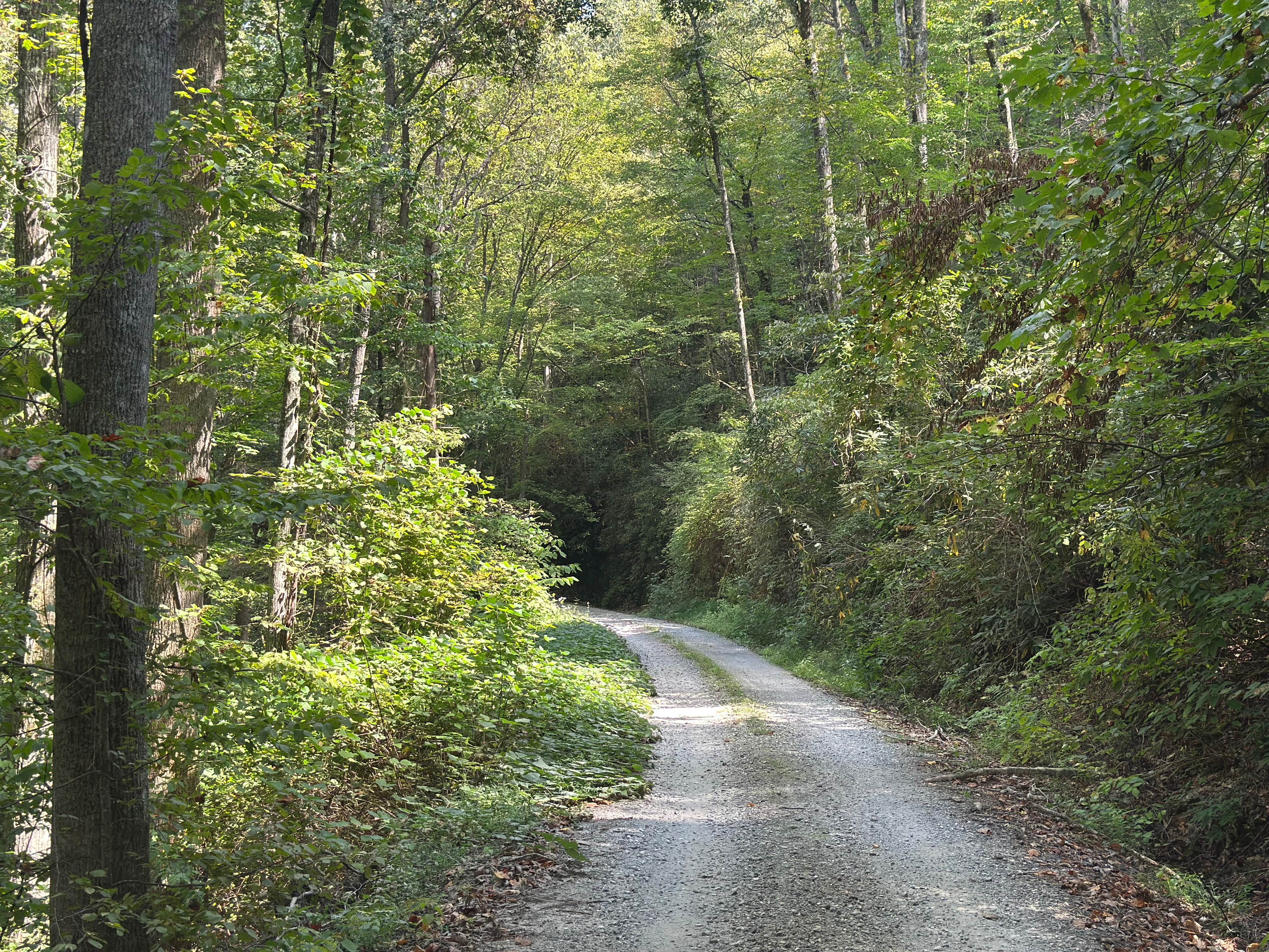
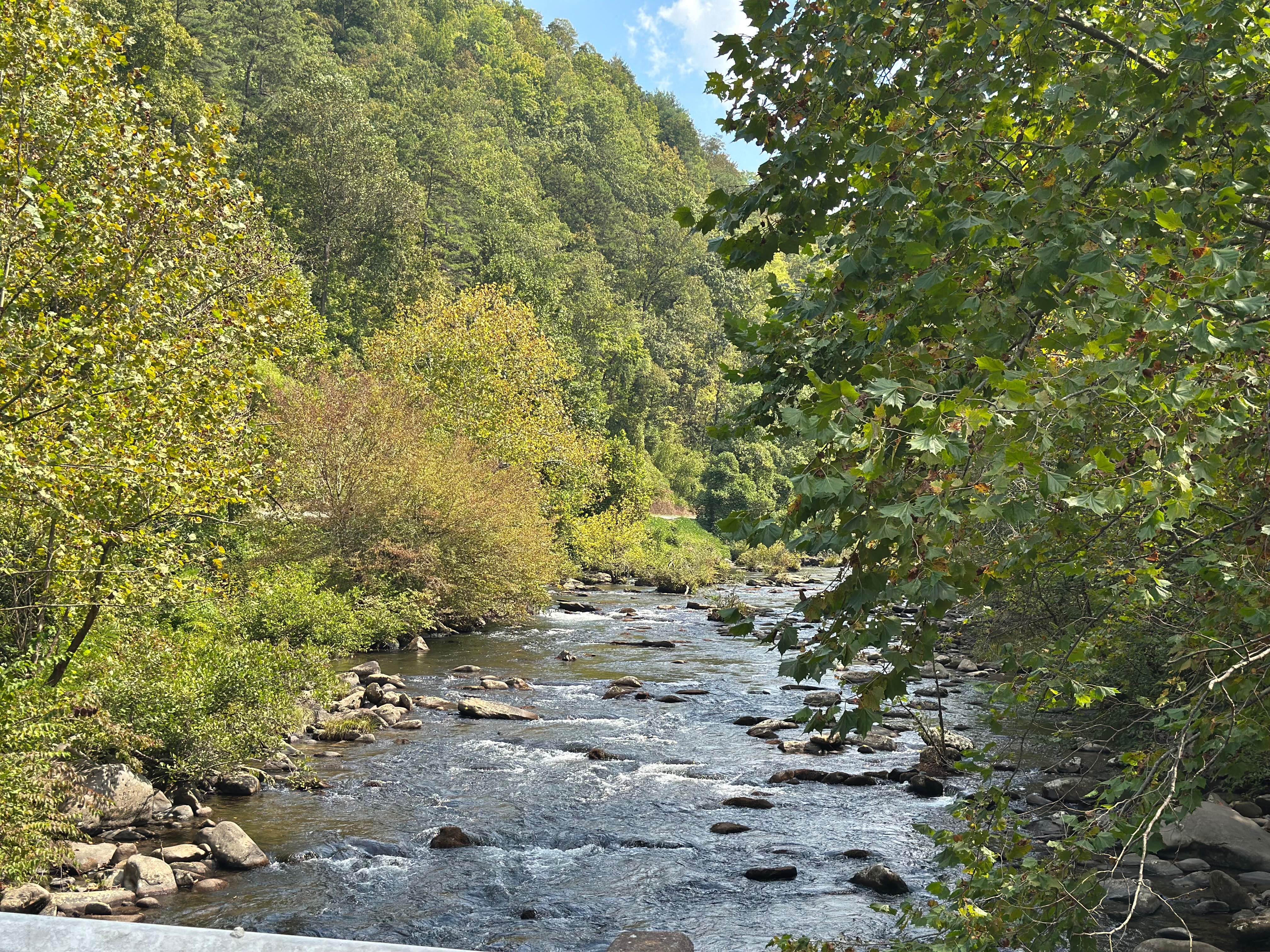
Trail Overview
Slickrock Road is a gravel route that winds through the Nantahala National Forest. It is primarily one vehicle wide, though there are plenty of areas with room to pass. The road begins at Tapoco Road at an elevation of 1,277 feet and climbs to 3,062 feet over the course of seven miles. At the summit, there's a parking area that provides access to several hiking trails. This road is suitable for all vehicle types and offers a great way to explore the forest and enjoy scenic views. Due to limited cell service in the area, offline maps are highly recommended for navigation. Seasonal Closures: Full Width 4x4: 01/01-03/31 | High Clearance 4x4: 01/01-03/31 | SxS: 01/01-03/31 | ATV: No known seasonal closures | Dirt Bike: No known seasonal closures.
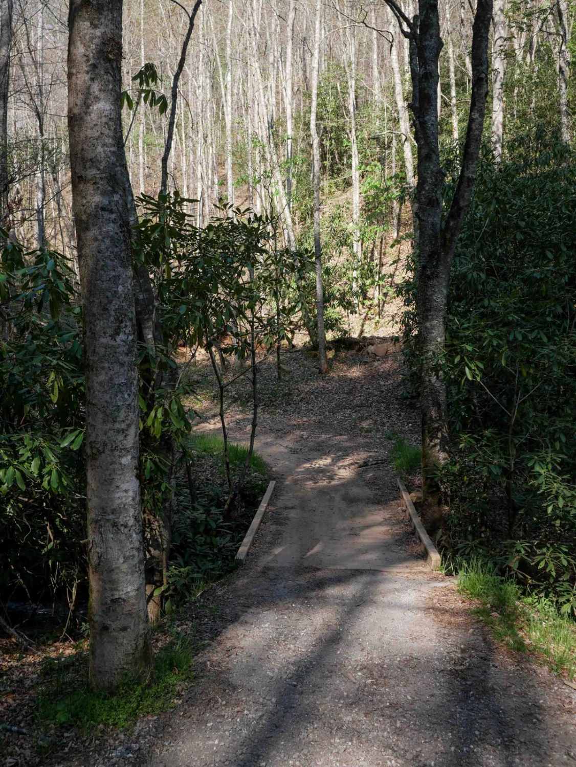
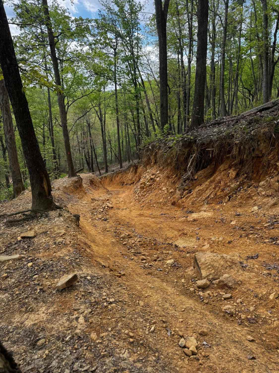
Photos of Slickrock Road
Difficulty
Road surface is gravel and is fairly smooth with only a couple of rocky sections. The trail is technically one vehicle wide, but there is ample passing room. Accessible by all rig types.
Status Reports
Slickrock Road can be accessed by the following ride types:
- High-Clearance 4x4
- SUV
- SxS (60")
- ATV (50")
- Dirt Bike
Slickrock Road Map
Popular Trails

Wolf Laurel - 81F
Hemlock Ridge Trail 7
Dutch John Trail 90

Brown Mountain Beech Road
The onX Offroad Difference
onX Offroad combines trail photos, descriptions, difficulty ratings, width restrictions, seasonality, and more in a user-friendly interface. Available on all devices, with offline access and full compatibility with CarPlay and Android Auto. Discover what you’re missing today!