Off-Road Trails in North Carolina
Discover off-road trails in North Carolina
Learn more about Fires Creek - FS 340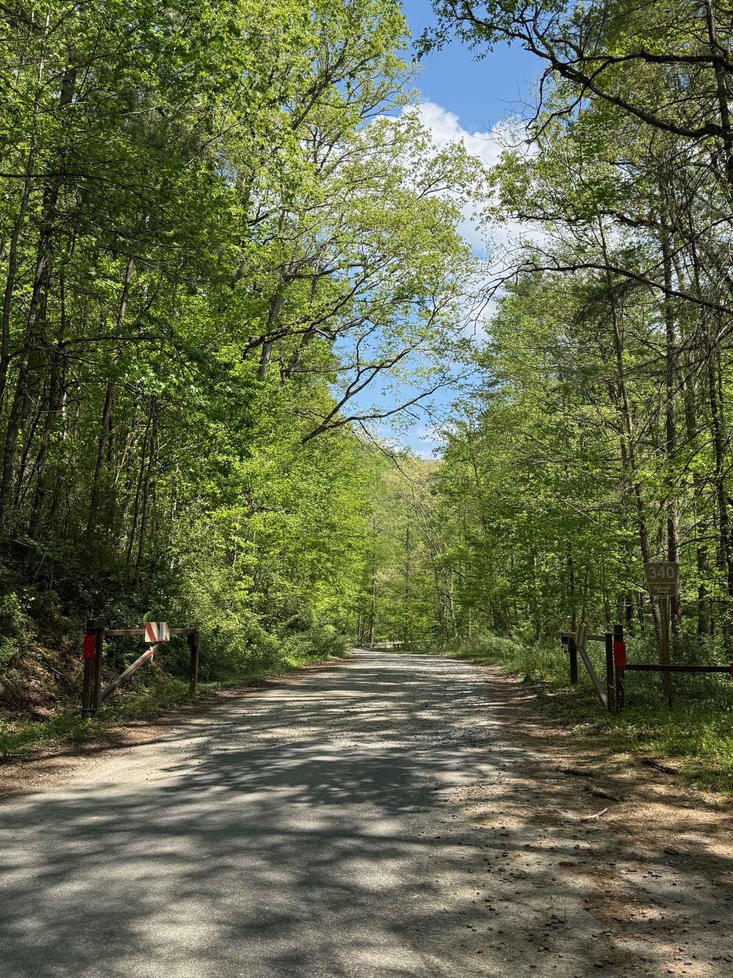
Fires Creek - FS 340
Total Miles
10.5
Tech Rating
Easy
Best Time
Spring, Summer, Fall, Winter

Learn more about Flat Top Road
Flat Top Road
Total Miles
2.1
Tech Rating
Easy
Best Time
Spring, Summer, Fall
Learn more about Fox Camp - FS 954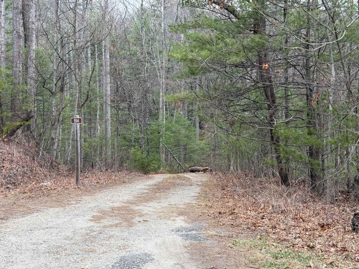
Fox Camp - FS 954
Total Miles
0.5
Tech Rating
Easy
Best Time
Spring, Summer, Fall
Learn more about Frisco Ramp 49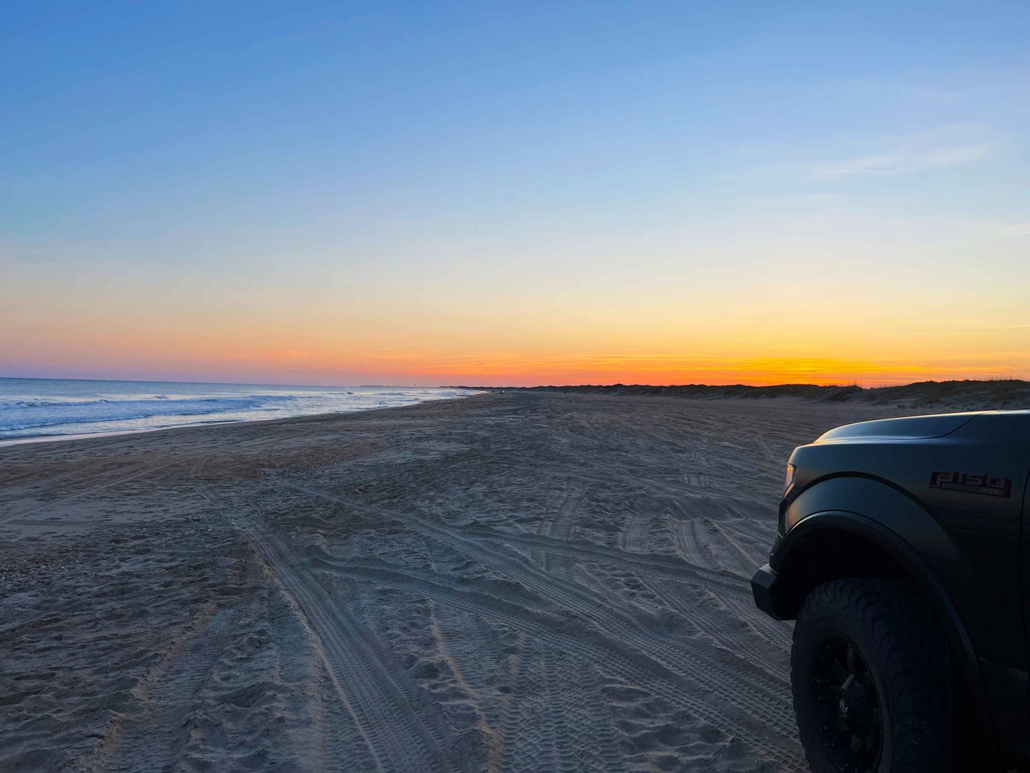
Frisco Ramp 49
Total Miles
3.4
Tech Rating
Moderate
Best Time
Spring, Summer, Fall
Learn more about FS 206 Spur 1
FS 206 Spur 1
Total Miles
0.6
Tech Rating
Easy
Best Time
Spring, Summer, Fall
Learn more about FS 206 Spur 2
FS 206 Spur 2
Total Miles
0.5
Tech Rating
Easy
Best Time
Spring, Summer, Fall
Learn more about FS 206 Spur 3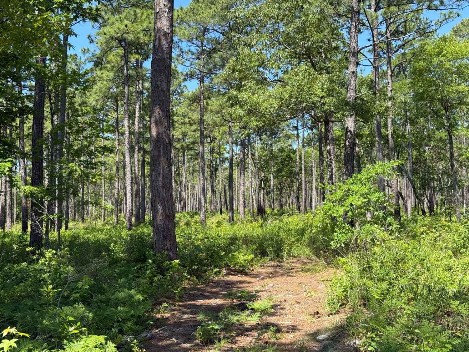
FS 206 Spur 3
Total Miles
0.4
Tech Rating
Easy
Best Time
Spring, Summer, Fall

Learn more about FS 982 Campsite Offshoot
FS 982 Campsite Offshoot
Total Miles
0.2
Tech Rating
Moderate
Best Time
Spring, Summer, Fall
Learn more about Great Lake Road (126)
Great Lake Road (126)
Total Miles
5.9
Tech Rating
Easy
Best Time
Spring, Summer, Fall, Winter
Learn more about Green River Rd
Green River Rd
Total Miles
3.9
Tech Rating
Easy
Best Time
Spring, Summer, Fall, Winter
Learn more about Green River Road
Green River Road
Total Miles
4.0
Tech Rating
Easy
Best Time
Spring, Summer, Fall, Winter
Learn more about Harper Creek Road - FS 58
Harper Creek Road - FS 58
Total Miles
5.0
Tech Rating
Easy
Best Time
Spring, Summer, Fall
Learn more about Hatteras Beach 55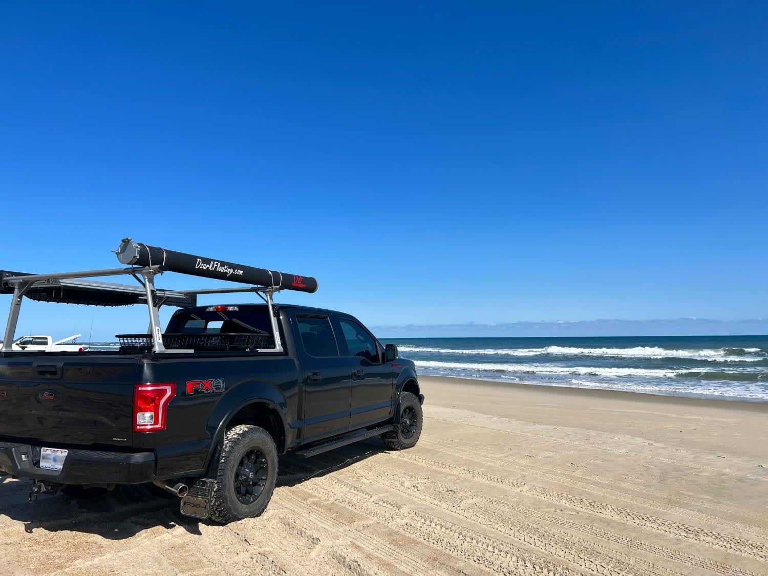
Hatteras Beach 55
Total Miles
3.3
Tech Rating
Moderate
Best Time
Spring, Summer, Fall
Learn more about Hemlock Ridge Trail 7 
Hemlock Ridge Trail 7
Total Miles
1.3
Tech Rating
Easy
Best Time
Spring, Fall, Summer
Learn more about Holland Point
Holland Point
Total Miles
1.1
Tech Rating
Easy
Best Time
Spring, Summer, Fall, Winter
ATV trails in North Carolina

Learn more about 1B Shortcut 
1B Shortcut
Total Miles
0.2
Tech Rating
Easy
Best Time
Spring, Fall, Summer, Winter
UTV/side-by-side trails in North Carolina
Learn more about 1B Shortcut
1B Shortcut
Total Miles
0.2
Tech Rating
Easy
Best Time
Spring, Fall, Summer, Winter
Learn more about 1B Upper
1B Upper
Total Miles
0.3
Tech Rating
Moderate
Best Time
Spring, Fall, Summer, Winter
The onX Offroad Difference
onX Offroad combines trail photos, descriptions, difficulty ratings, width restrictions, seasonality, and more in a user-friendly interface. Available on all devices, with offline access and full compatibility with CarPlay and Android Auto. Discover what you’re missing today!