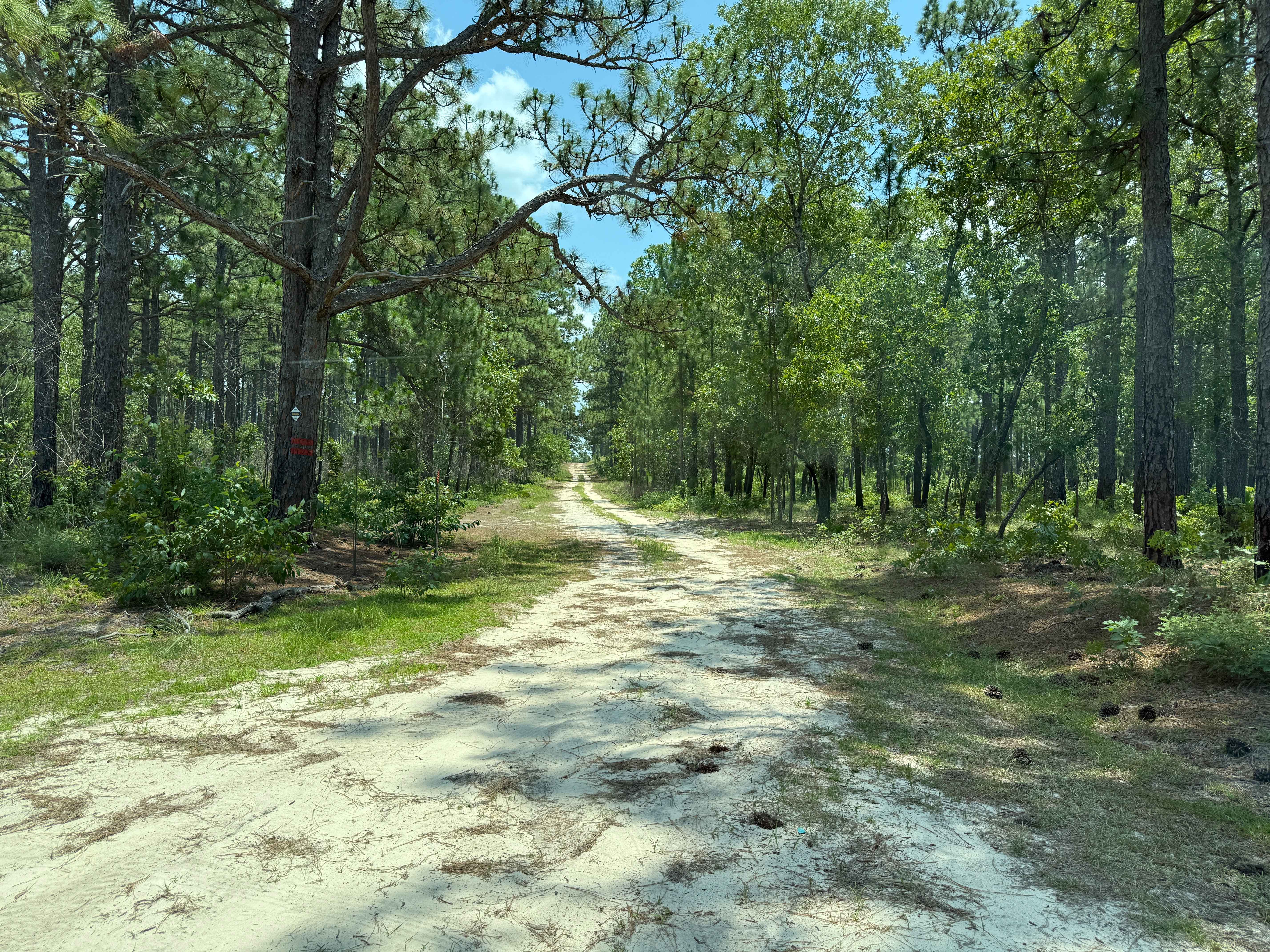
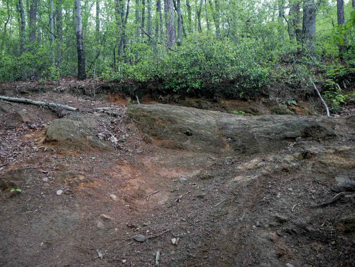
Off-Road Trails in North Carolina
Discover off-road trails in North Carolina
Learn more about Millis Road Spur
Millis Road Spur
Total Miles
1.7
Tech Rating
Moderate
Best Time
Spring, Summer, Fall
Learn more about Mirey Branch 
Mirey Branch
Total Miles
2.6
Tech Rating
Easy
Best Time
Spring, Summer, Fall
Learn more about Mortimer Piedmont - FS 982
Mortimer Piedmont - FS 982
Total Miles
7.0
Tech Rating
Easy
Best Time
Spring, Summer, Fall
Learn more about Mount Sterling Road
Mount Sterling Road
Total Miles
3.6
Tech Rating
Easy
Best Time
Spring, Summer, Fall
Learn more about Naked Creek Lane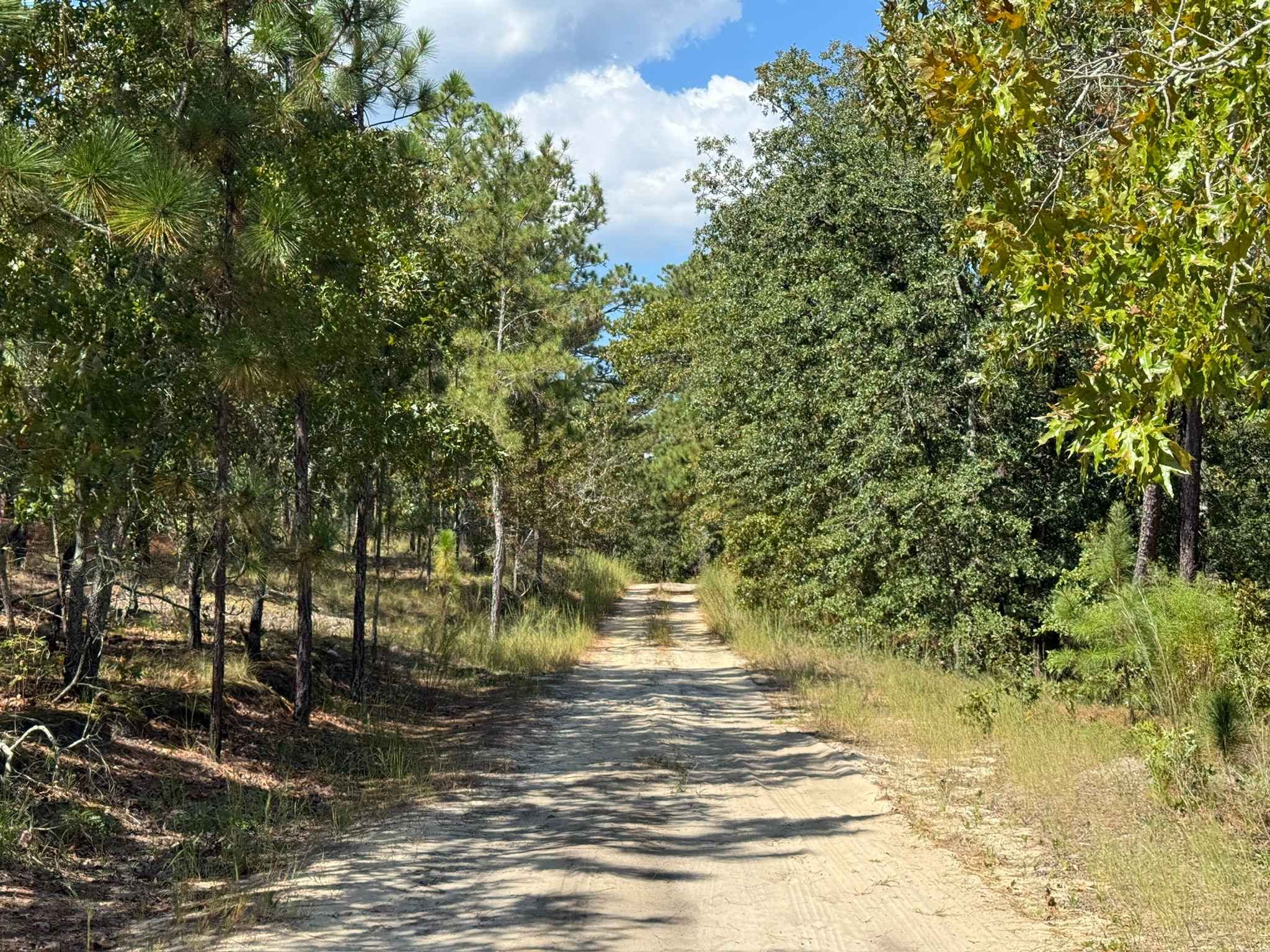
Naked Creek Lane
Total Miles
5.1
Tech Rating
Easy
Best Time
Spring, Summer, Fall
Learn more about NC12 - Carova 4x4 Beach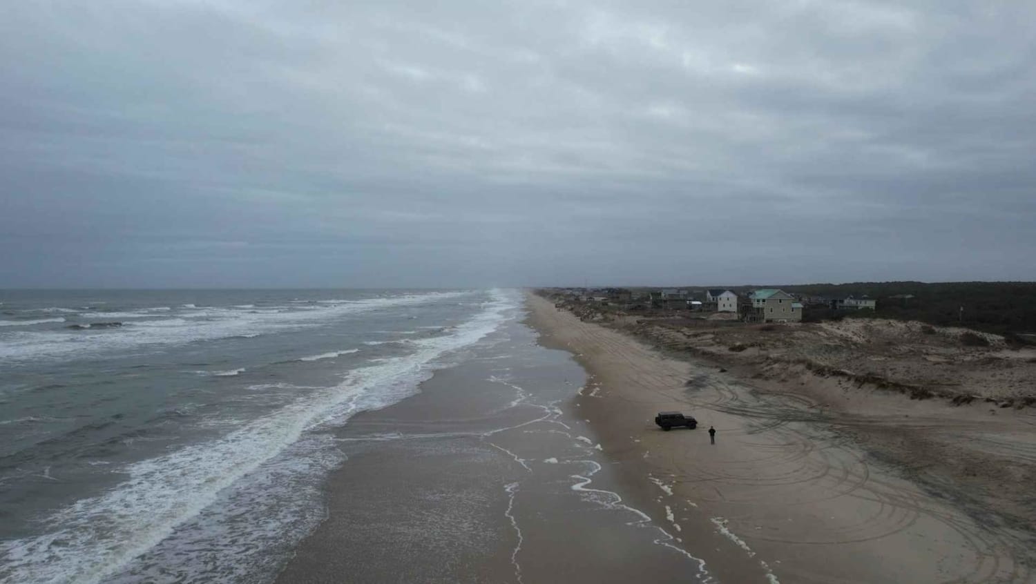
NC12 - Carova 4x4 Beach
Total Miles
10.9
Tech Rating
Easy
Best Time
Spring, Summer
Learn more about North Carolina Outward Bound School Road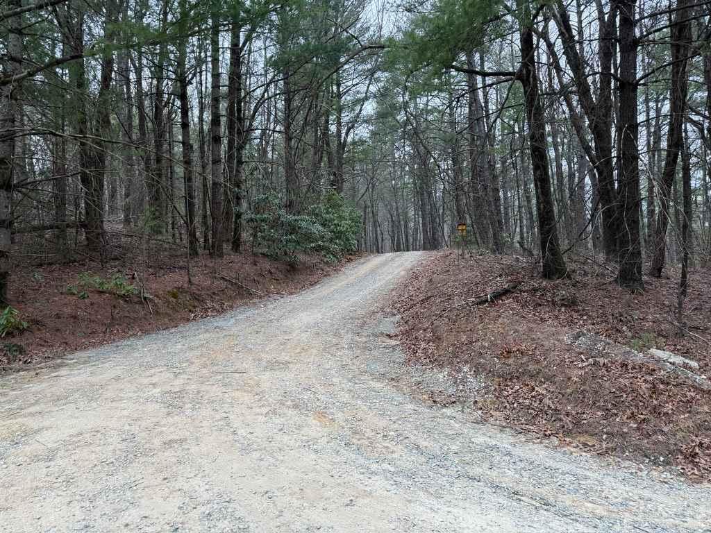
North Carolina Outward Bound School Road
Total Miles
0.5
Tech Rating
Easy
Best Time
Spring, Summer, Fall
Learn more about North River Rd to Upper Santeetlah - 81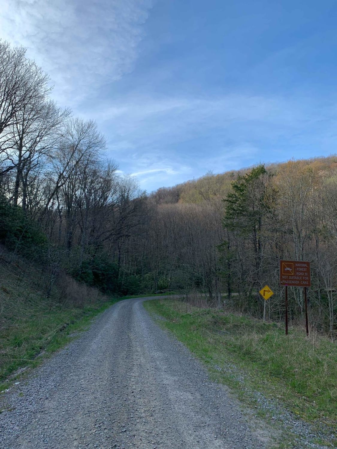
North River Rd to Upper Santeetlah - 81
Total Miles
4.9
Tech Rating
Easy
Best Time
Spring, Summer, Fall, Winter
Learn more about Ocean Pearl Road - The Gauntlet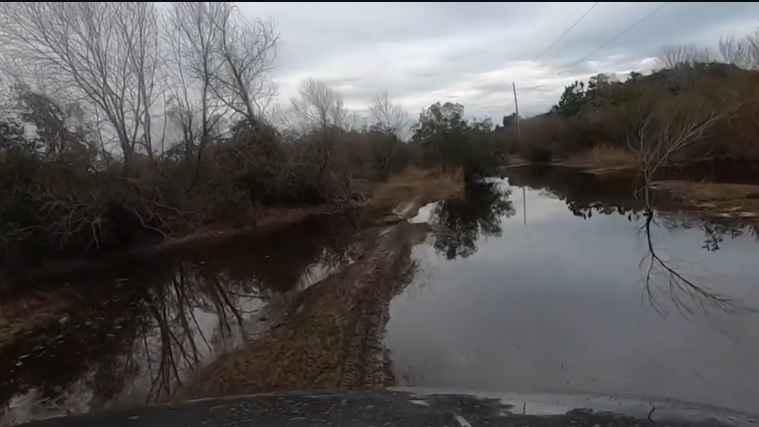
Ocean Pearl Road - The Gauntlet
Total Miles
0.6
Tech Rating
Moderate
Best Time
Spring, Summer, Fall, Winter
Learn more about Old Bald Ridge - FS 4652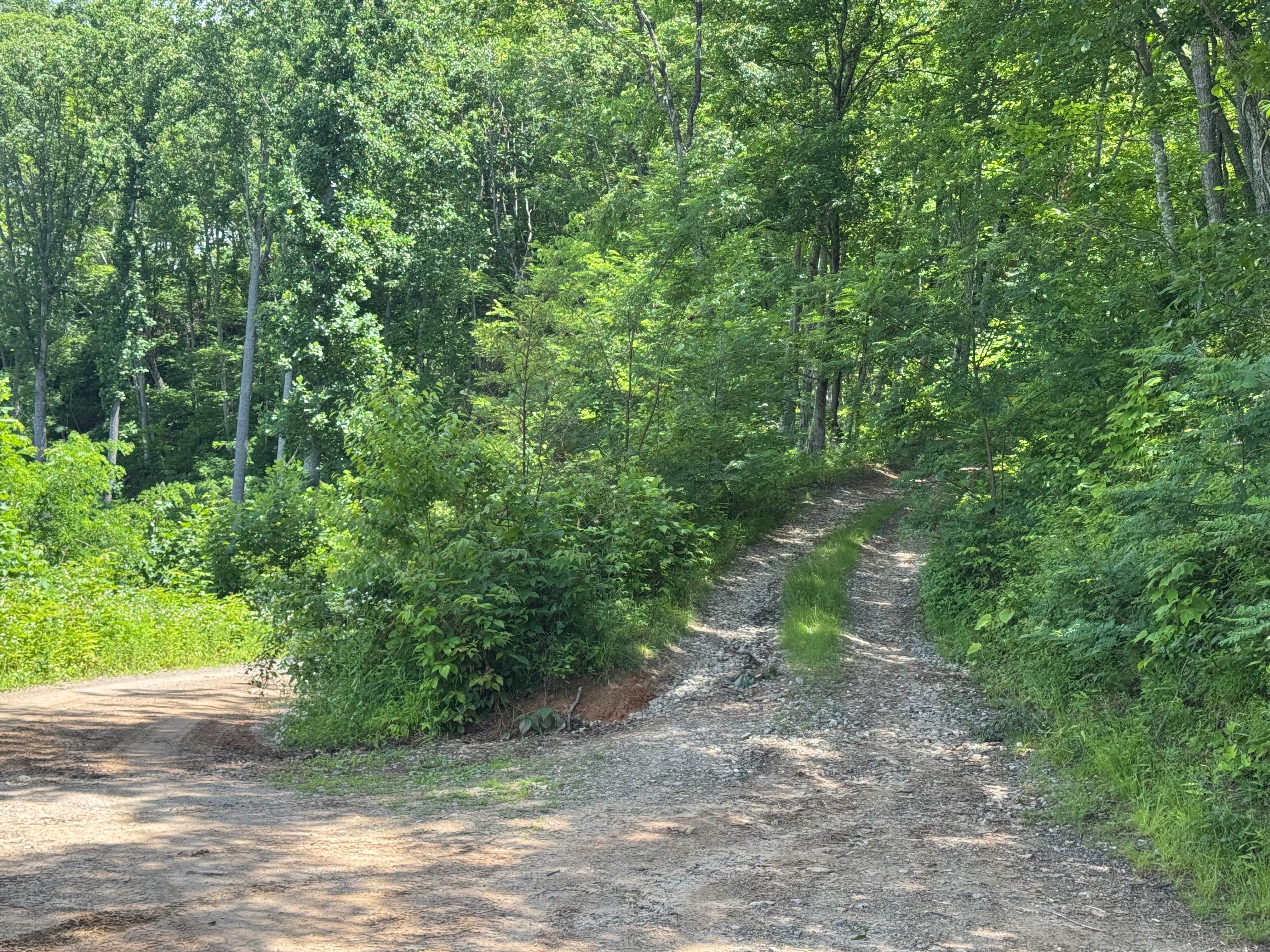
Old Bald Ridge - FS 4652
Total Miles
5.4
Tech Rating
Easy
Best Time
Spring, Summer, Fall
Learn more about Old Buzzard Roost Road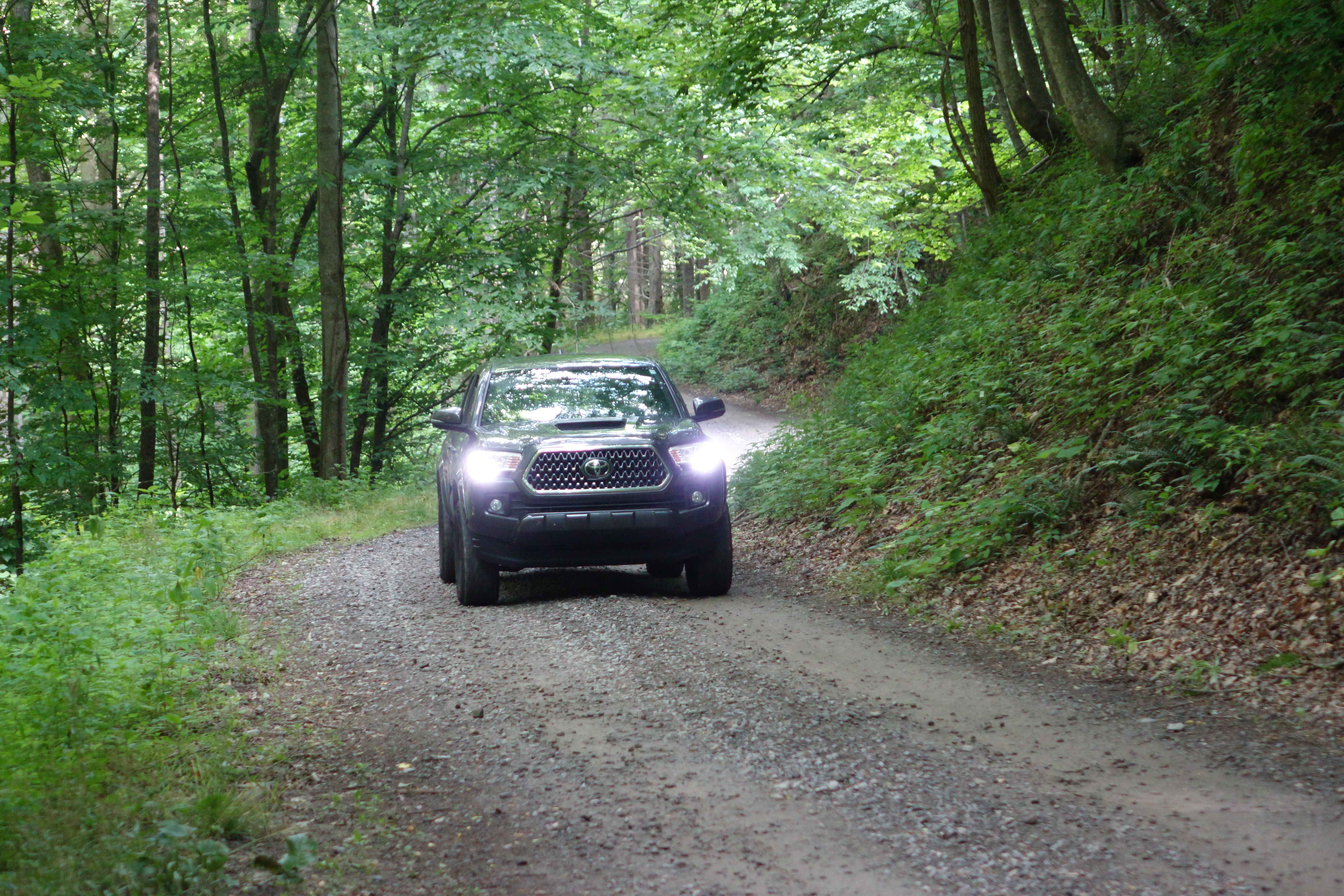
Old Buzzard Roost Road
Total Miles
3.9
Tech Rating
Easy
Best Time
Fall, Summer
Learn more about Panther Top FS-85
Panther Top FS-85
Total Miles
5.1
Tech Rating
Easy
Best Time
Spring, Summer, Fall
Learn more about Pettiford Creek - FS 206
Pettiford Creek - FS 206
Total Miles
1.1
Tech Rating
Easy
Best Time
Spring, Summer, Fall
Learn more about Pettiford Creek Branch 4
Pettiford Creek Branch 4
Total Miles
0.5
Tech Rating
Easy
Best Time
Spring, Summer, Fall
Learn more about Pettiford Creek Branch 5
Pettiford Creek Branch 5
Total Miles
0.3
Tech Rating
Easy
Best Time
Spring, Summer, Fall
Learn more about Pettiford Creek Eastern Entrances
Pettiford Creek Eastern Entrances
Total Miles
0.6
Tech Rating
Moderate
Best Time
Spring, Fall, Summer
ATV trails in North Carolina

Learn more about 1B Shortcut 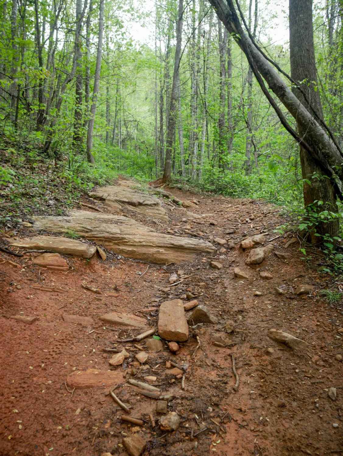
1B Shortcut
Total Miles
0.2
Tech Rating
Easy
Best Time
Spring, Fall, Summer, Winter
UTV/side-by-side trails in North Carolina
Learn more about 1B Shortcut
1B Shortcut
Total Miles
0.2
Tech Rating
Easy
Best Time
Spring, Fall, Summer, Winter
Learn more about 1B Upper
1B Upper
Total Miles
0.3
Tech Rating
Moderate
Best Time
Spring, Fall, Summer, Winter
The onX Offroad Difference
onX Offroad combines trail photos, descriptions, difficulty ratings, width restrictions, seasonality, and more in a user-friendly interface. Available on all devices, with offline access and full compatibility with CarPlay and Android Auto. Discover what you’re missing today!