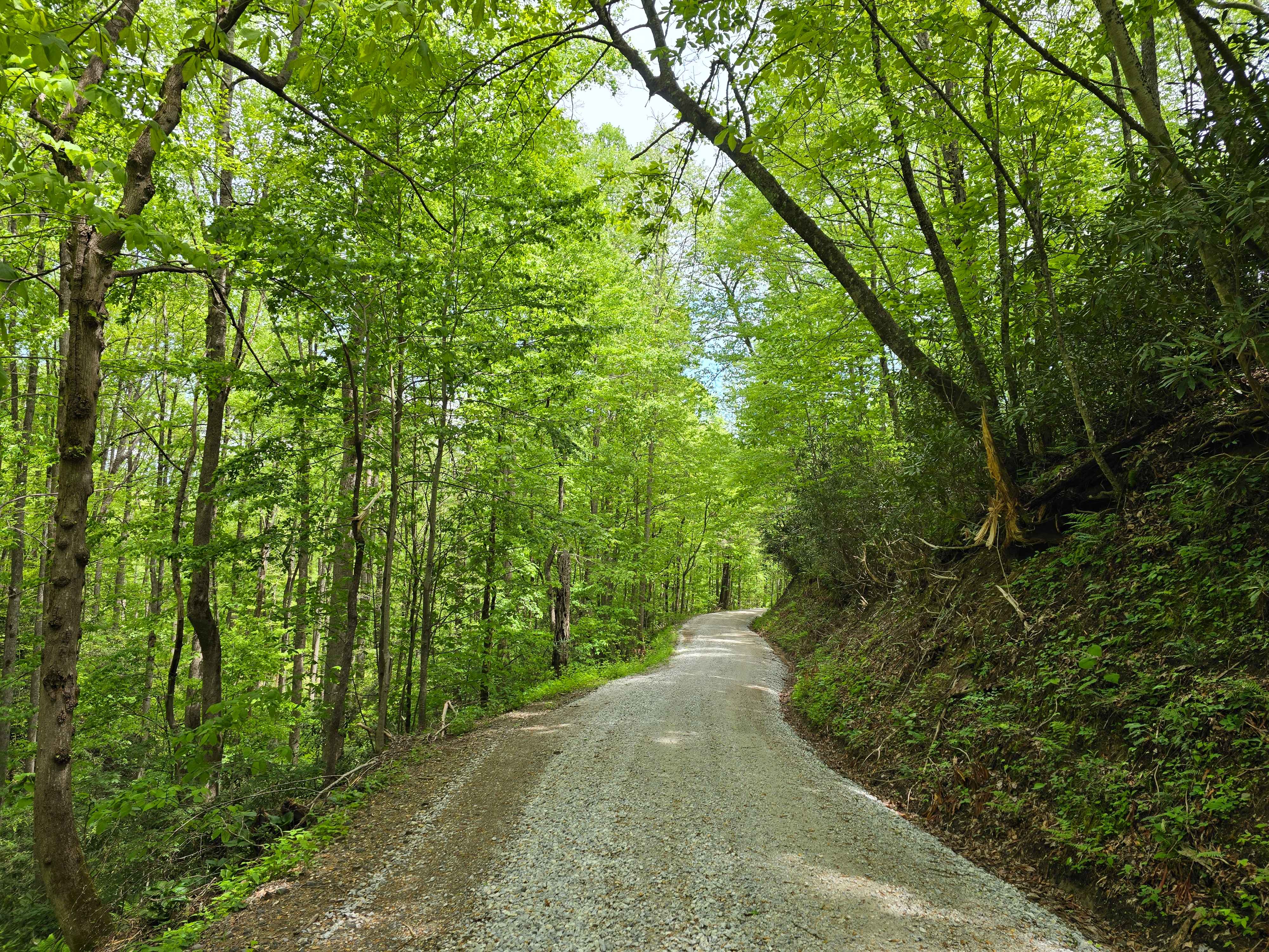
Panther Top FS-85
Total Miles
5.1
Technical Rating
Best Time
Spring, Summer, Fall
Trail Type
Full-Width Road
Accessible By
Trail Overview
FS-85 Panther Top is an out-and-back, easy, and well-maintained service trail that is located within the Nantahala National Forest just minutes from Murphy, North Carolina. The area is bordered by Persimmon Lake, and the trail winds through beautiful hardwood and pine forests. The highlight of the trail is the 0.8-mile hike up to the Panther Top Tower for breathtaking views of the surrounding states. FS-85 is well-marked and suitable for many types of vehicles. Rain or shine, the trail is easily traversed, and 4WD is not required. There are several areas along the trail that will accommodate oncoming traffic. FS-85 terminates in a large, open area to turn around that has an old service road leading up the mountain ridge. The service road is now unmarked, not currently maintained, and terminates at a downed tree. Cell coverage was good with Verizon and T-Mobile in most areas along the trail. There are some short spur trails to explore and take in the tranquility of the forest, and a maintained shooting range. Legally licensed vehicles admitted. The area closes during the winter months. It's a good idea to check with the district ranger station for trail closures before making the trip. Take the time to explore some of the restaurants that Murphy has to offer. Tusquittee Ranger District 828-837-5152.
Photos of Panther Top FS-85


Difficulty
Easy trail to traverse. Well-maintained gravel roads with intermittent areas of dirt and small, shallow puddles following rain.
Status Reports
Panther Top FS-85 can be accessed by the following ride types:
- High-Clearance 4x4
- SUV
Panther Top FS-85 Map
Popular Trails
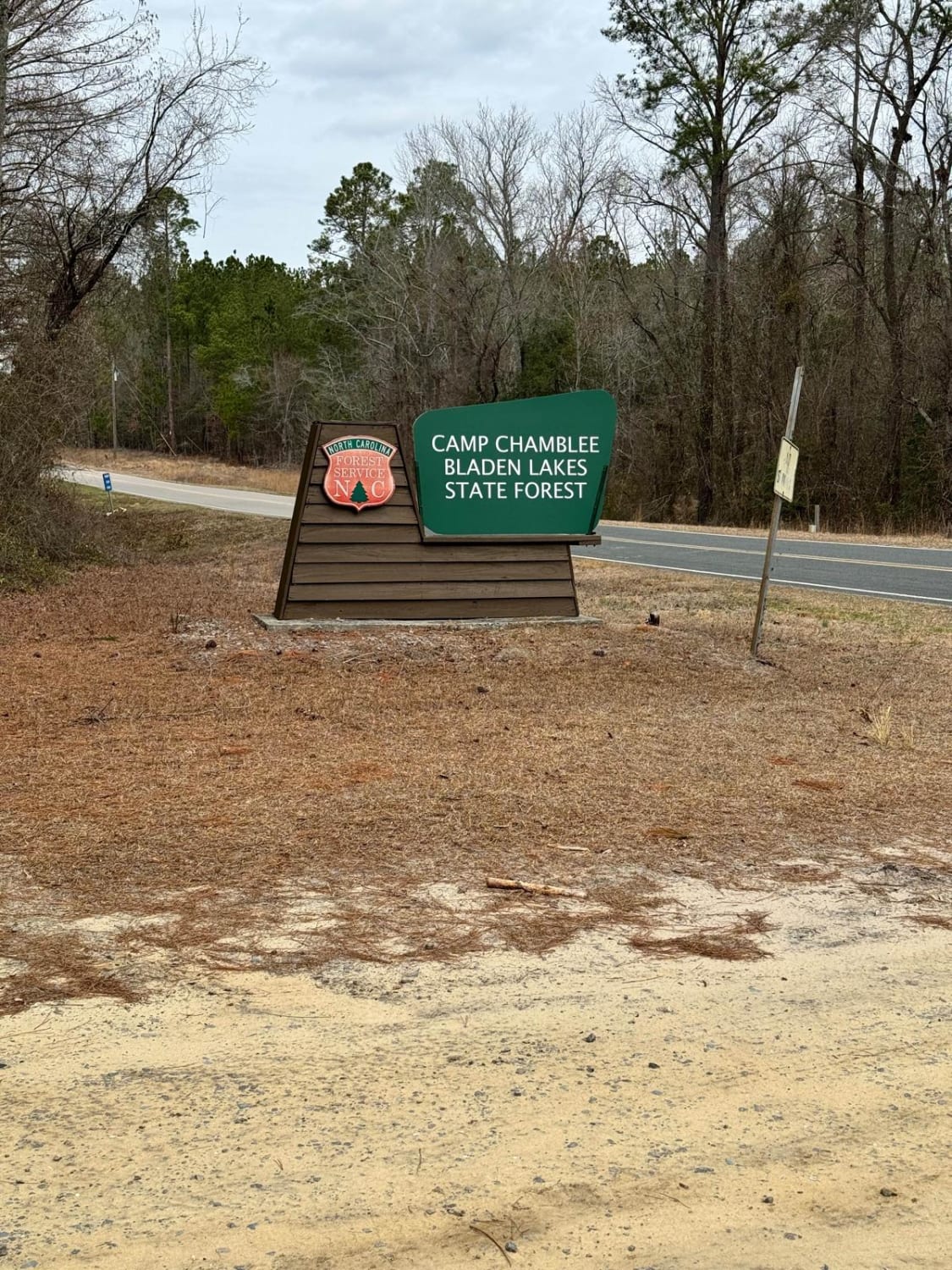
Camp Chamblee
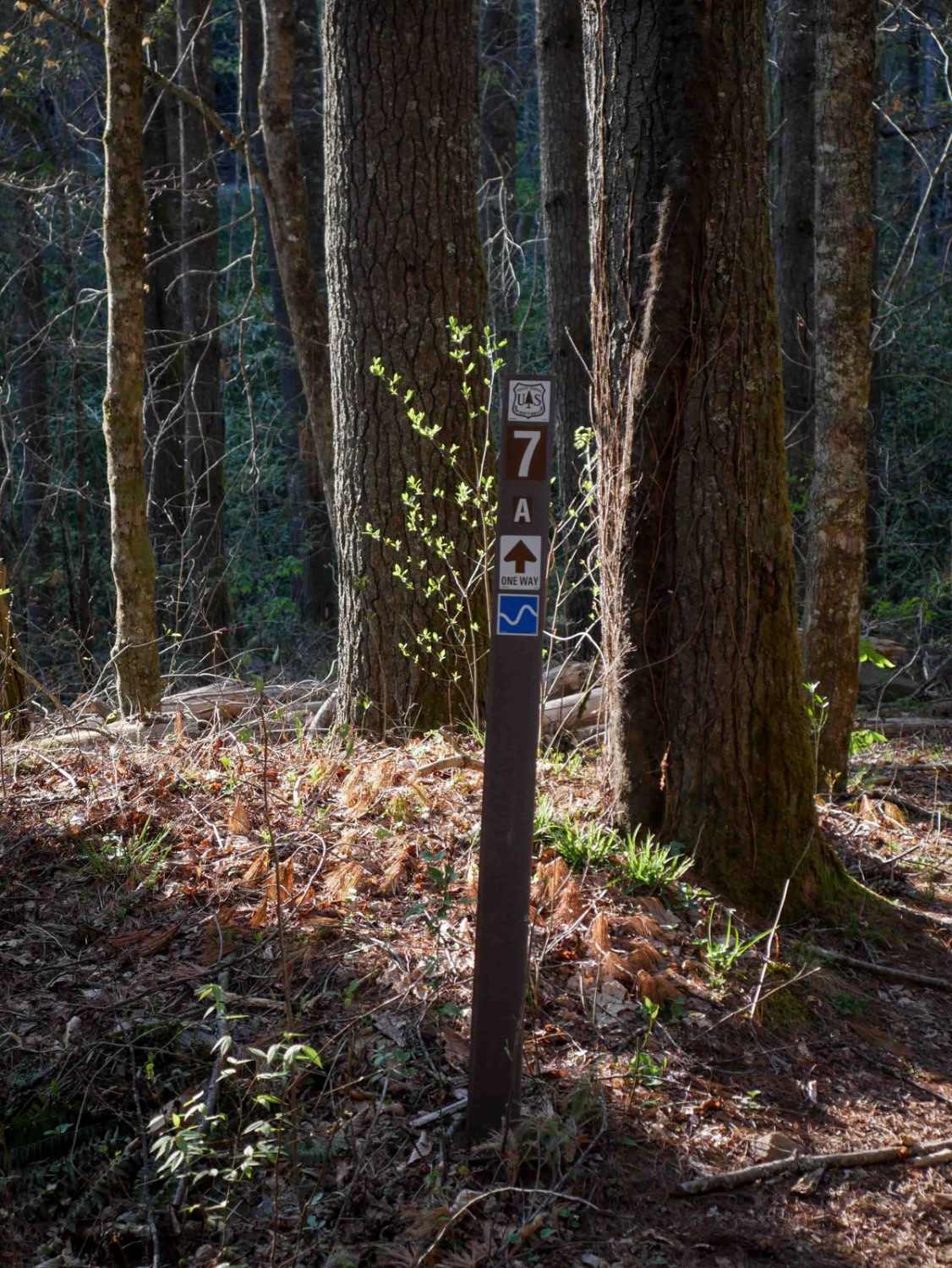
Rail Line Way 7A (One-Way)

The onX Offroad Difference
onX Offroad combines trail photos, descriptions, difficulty ratings, width restrictions, seasonality, and more in a user-friendly interface. Available on all devices, with offline access and full compatibility with CarPlay and Android Auto. Discover what you’re missing today!