Atoah Gap
Total Miles
1.2
Technical Rating
Best Time
Spring, Summer, Fall, Winter
Trail Type
Full-Width Road
Accessible By
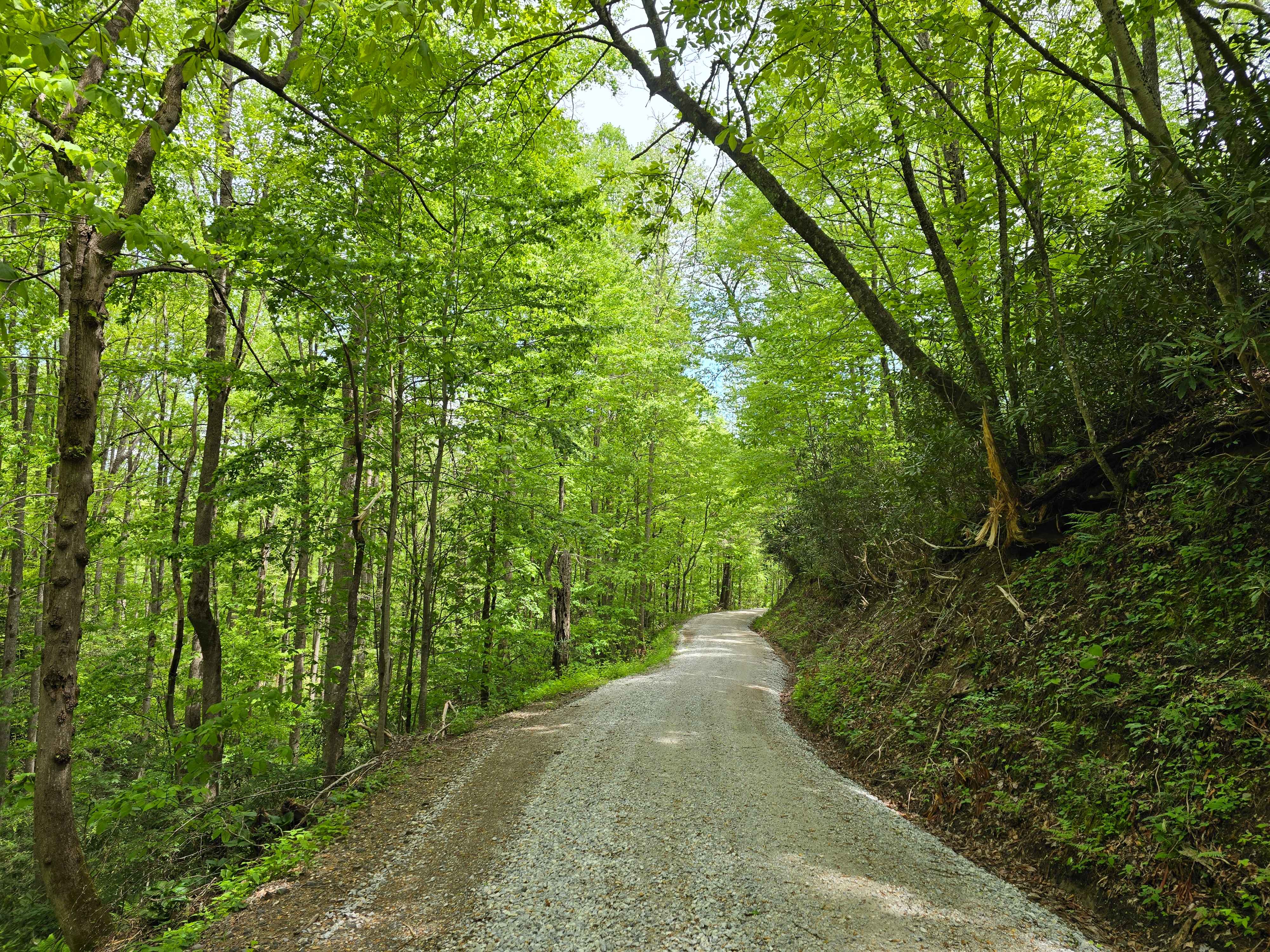
Trail Overview
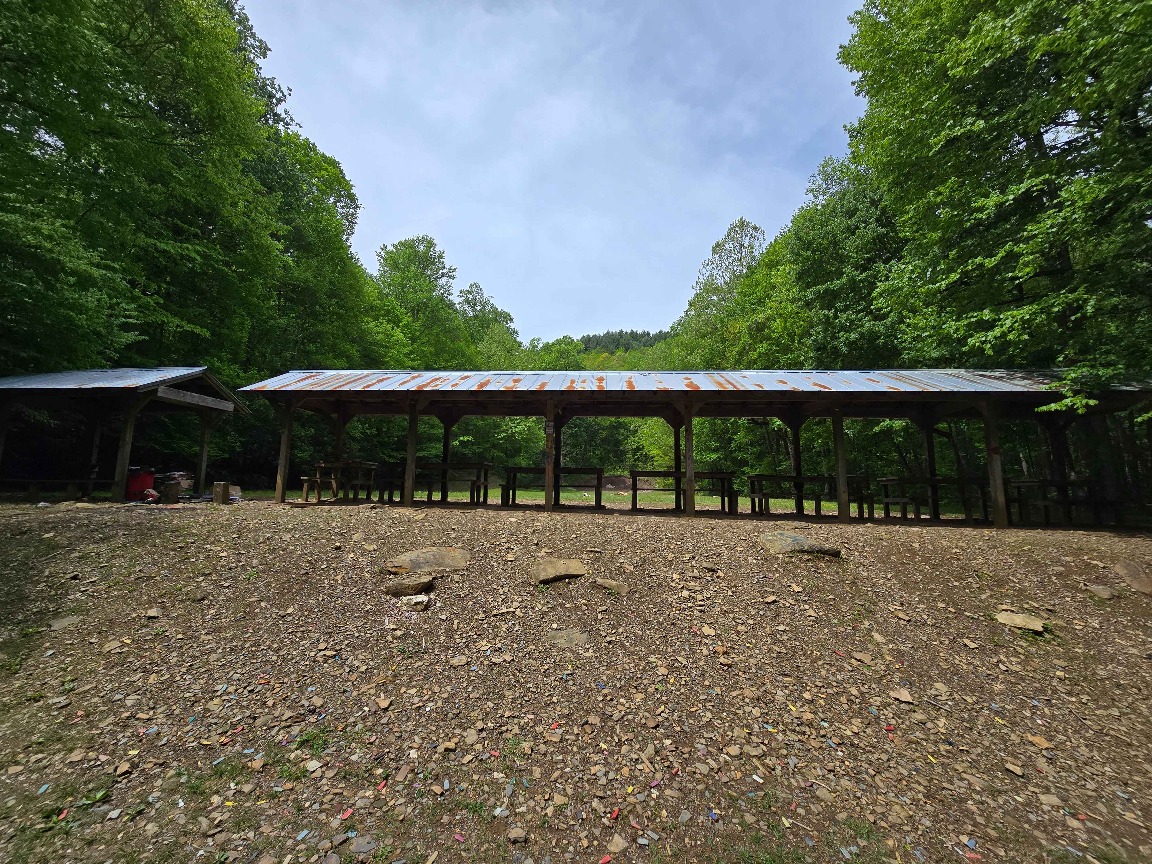
Atoah Gap Road - FS 383 is a well-graded, low-difficulty forest service route rated at 1/10, making it accessible for a wide range of vehicles and camping trailers. The road follows the scenic course of Atoah Creek through tranquil forested terrain, offering peaceful surroundings and direct access to the waterway. There are multiple designated campsites along the route, providing convenient options for overnight stays amid natural beauty. There is a designated shooting range located at the beginning of the trail for plinking. The area is renowned for excellent fishing opportunities in the creek, attracting anglers seeking a rewarding experience. Additionally, the road serves as a key trailhead for various hiking paths, enabling further exploration of the surrounding wilderness.
Photos of Atoah Gap
Difficulty
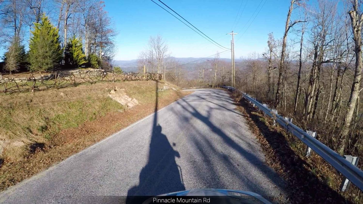
A well maintained gravel route.
Status Reports
Atoah Gap can be accessed by the following ride types:
- High-Clearance 4x4
- SUV
Atoah Gap Map
Popular Trails
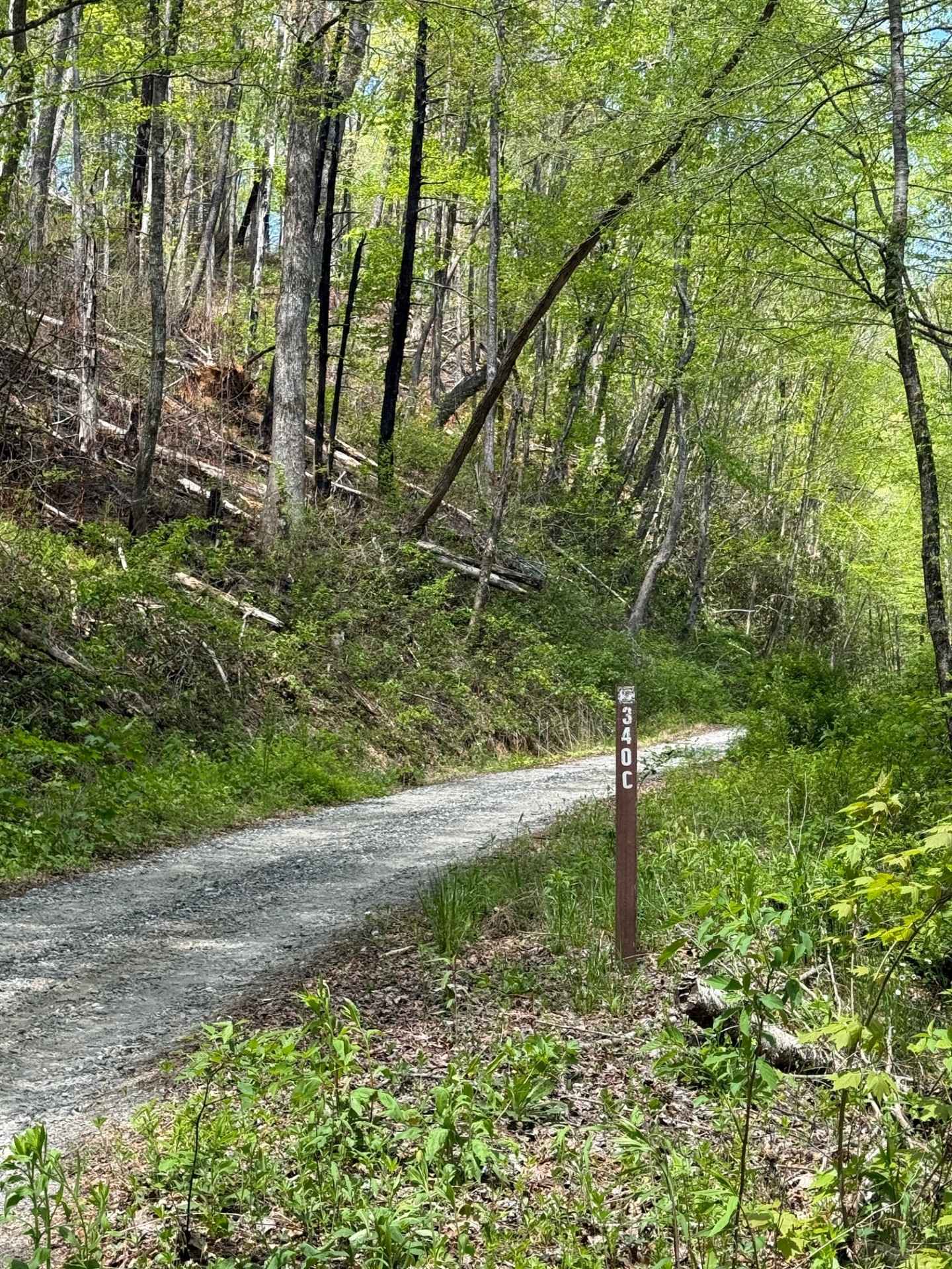
Long Branch - FS 340C

Ellerbe Tower Lane
Pinnacle - SCAR Alternate
The onX Offroad Difference
onX Offroad combines trail photos, descriptions, difficulty ratings, width restrictions, seasonality, and more in a user-friendly interface. Available on all devices, with offline access and full compatibility with CarPlay and Android Auto. Discover what you’re missing today!