Old Buzzard Roost Road
Total Miles
3.9
Technical Rating
Best Time
Fall, Summer
Trail Type
Full-Width Road
Accessible By
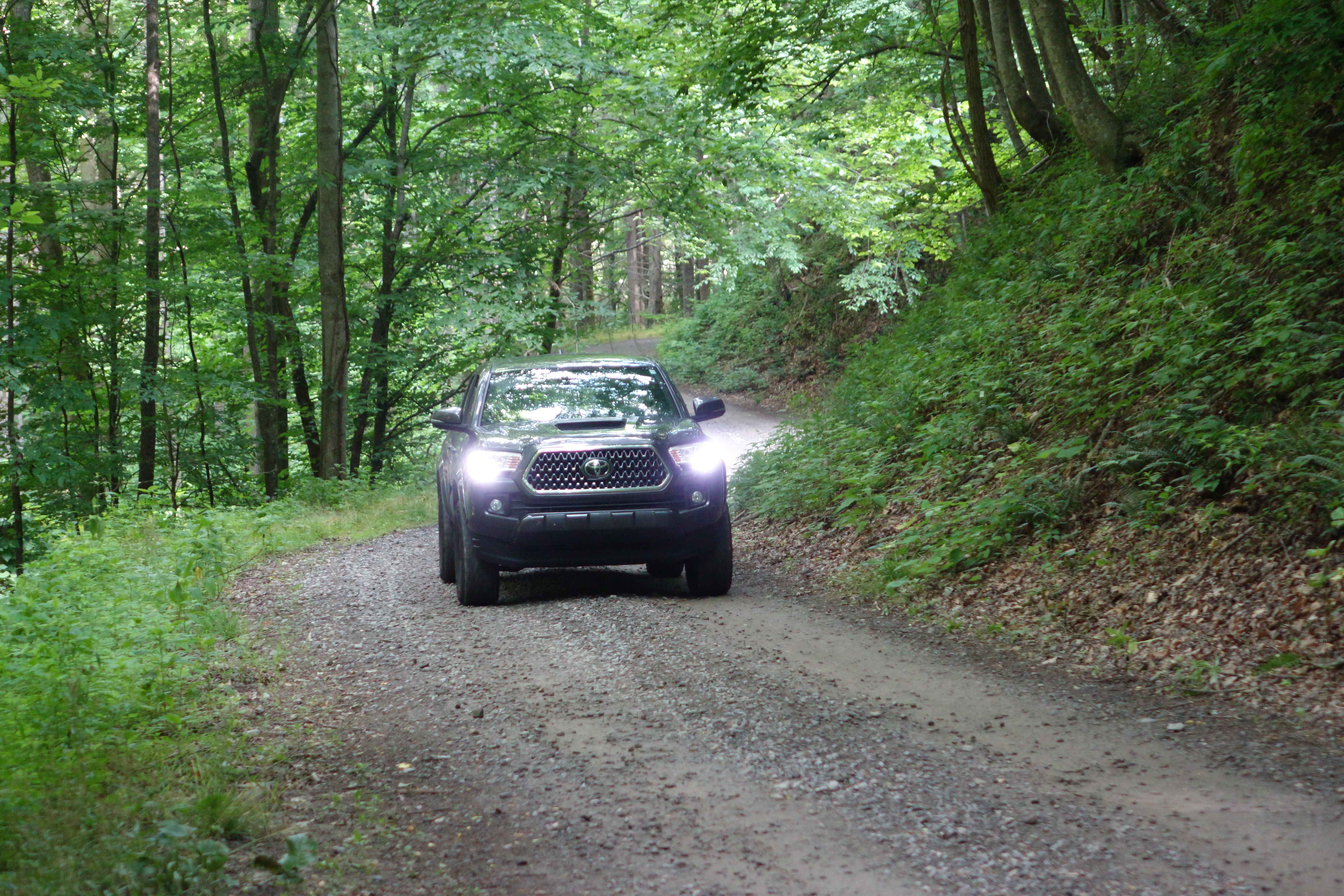
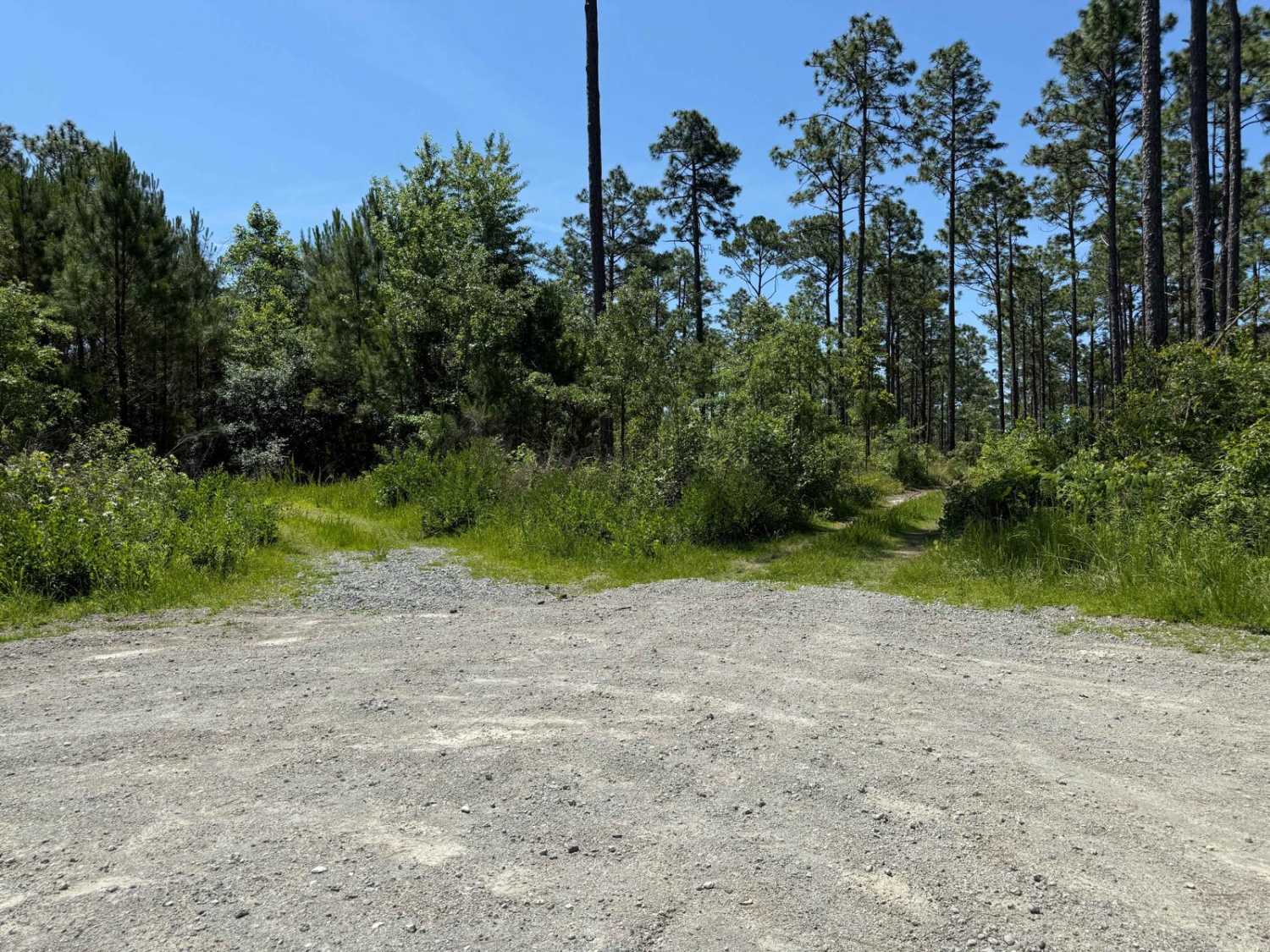
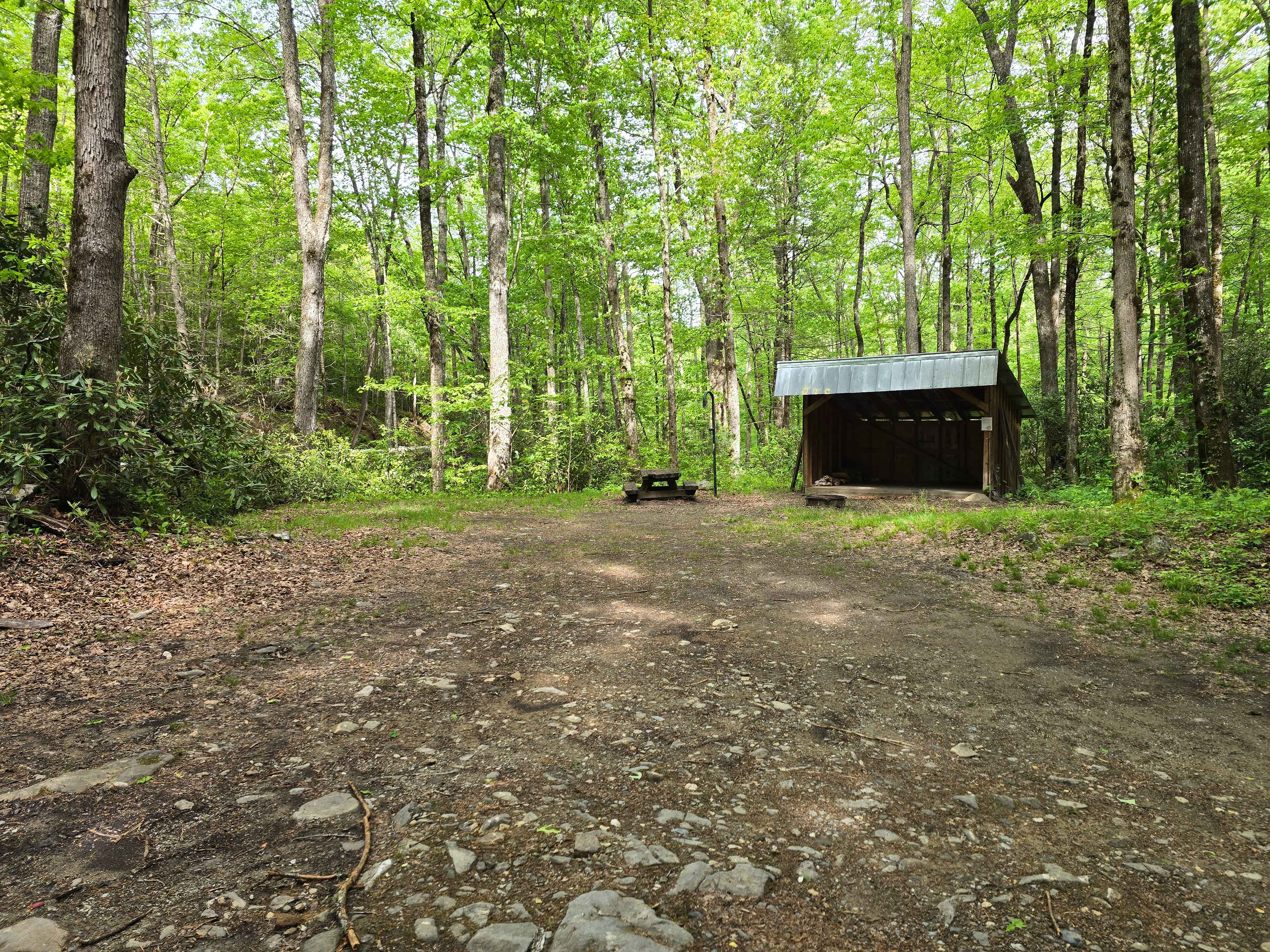
Trail Overview
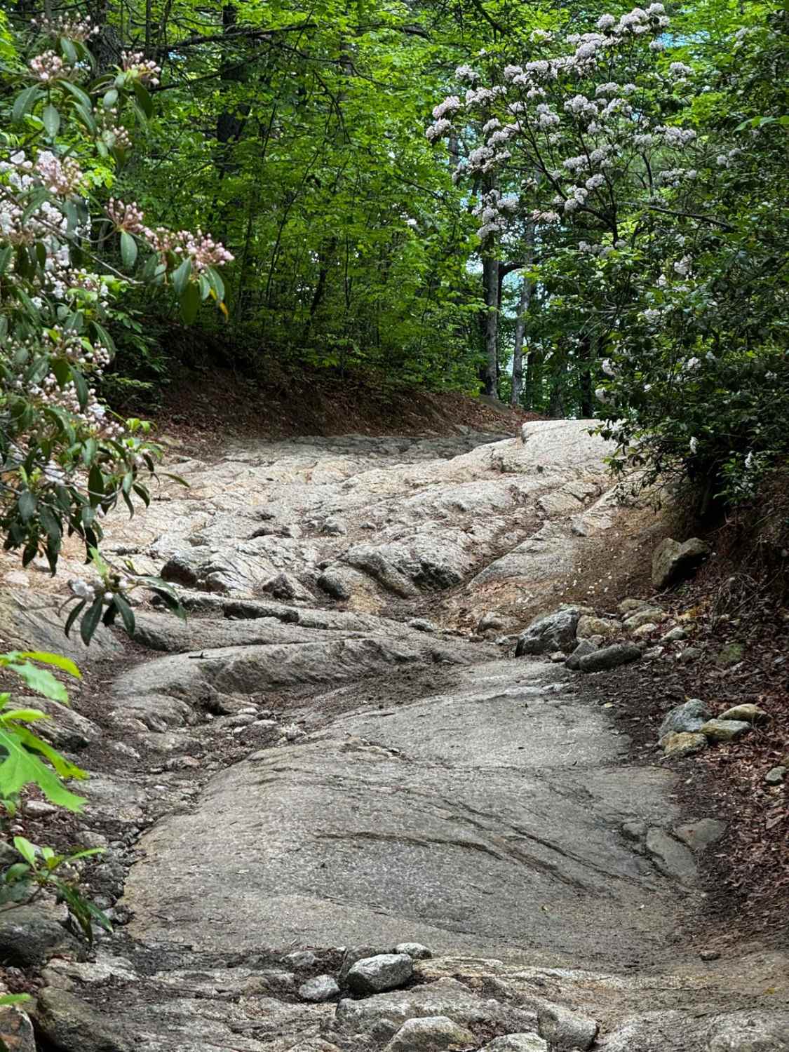
Old Buzzard Roost Road is a nice adventure just a few miles from the interstate. You'll travel under the shadow of Mt. Sterling as you cross a few creeks and traverse switchbacks until you reach the top of the ridgeline and intersect with the Buzzard Roost Road. Initially, the route is mild gravel with only one easy water crossing to add some variety. After a couple of miles, you'll find that it transitions to a rockier dirt track with some rutted sections. A stock 4WD vehicle should be fine with a spotter in dry conditions, but the clay and sand can become more difficult to navigate after rains. Be sure to air down for grip on the round rock sections. Cell service is almost nonexistent on the majority of this route.
Photos of Old Buzzard Roost Road

Difficulty
There are very few places to pass vehicles once you get into the harder parts. The rocks are mostly rounded, and combined with the clay sections, portions of the trail can get really slick after a rain.
Status Reports
Old Buzzard Roost Road can be accessed by the following ride types:
- High-Clearance 4x4
- SUV
Old Buzzard Roost Road Map
Popular Trails
FS 206 Spur 1
Deep Creek Road
Brown Mountain Trail 1

Beech Creek Road - FS 307
The onX Offroad Difference
onX Offroad combines trail photos, descriptions, difficulty ratings, width restrictions, seasonality, and more in a user-friendly interface. Available on all devices, with offline access and full compatibility with CarPlay and Android Auto. Discover what you’re missing today!