Off-Road Trails in North Carolina
Discover off-road trails in North Carolina
Learn more about Chowan Gamelands - Deer Spotter
Chowan Gamelands - Deer Spotter
Total Miles
8.2
Tech Rating
Easy
Best Time
Spring, Winter
Learn more about Chowan Swamp Gamelands
Chowan Swamp Gamelands
Total Miles
5.2
Tech Rating
Easy
Best Time
Spring, Winter
Learn more about Cold Spring Gap Road
Cold Spring Gap Road
Total Miles
6.0
Tech Rating
Easy
Best Time
Spring, Fall, Summer, Winter
Learn more about Cove Creek Road
Cove Creek Road
Total Miles
1.1
Tech Rating
Easy
Best Time
Spring, Summer, Fall
Learn more about Creek Office Return 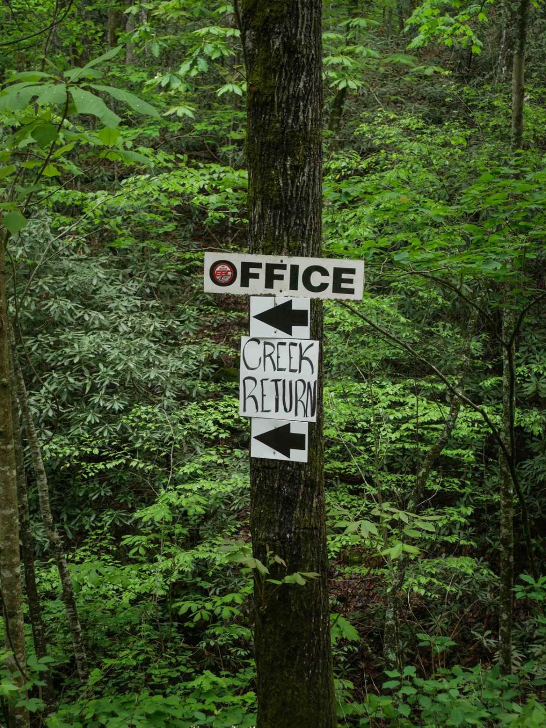
Creek Office Return
Total Miles
0.9
Tech Rating
Easy
Best Time
Spring, Fall, Summer, Winter
Learn more about Creek Side Scenic Drive 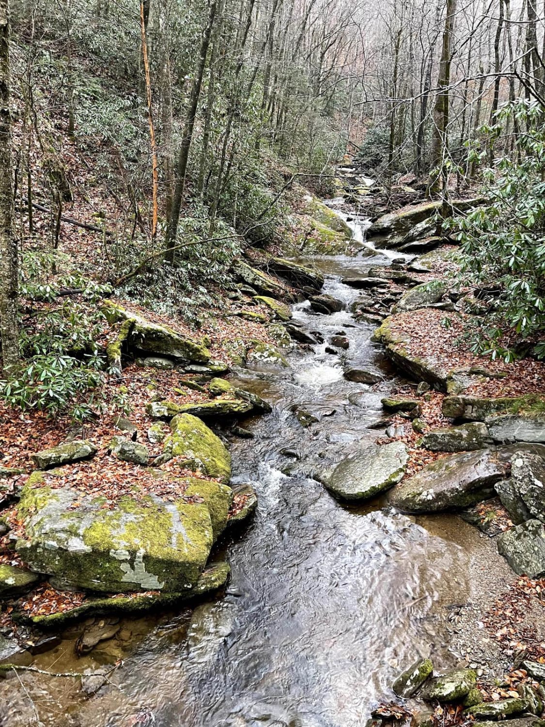
Creek Side Scenic Drive
Total Miles
6.3
Tech Rating
Easy
Best Time
Spring, Summer, Fall, Winter

Learn more about Deep Gap - FR 71
Deep Gap - FR 71
Total Miles
5.9
Tech Rating
Easy
Best Time
Fall, Summer, Spring
Learn more about Dickey Bell Trail 91
Dickey Bell Trail 91
Total Miles
2.5
Tech Rating
Difficult
Best Time
Spring, Summer, Fall
Learn more about Dixon Fields
Dixon Fields
Total Miles
1.3
Tech Rating
Easy
Best Time
Spring, Summer, Fall, Winter
Learn more about Dobson Knob - FS 106
Dobson Knob - FS 106
Total Miles
4.3
Tech Rating
Easy
Best Time
Spring, Summer, Fall
Learn more about Dutch John Trail 90
Dutch John Trail 90
Total Miles
2.0
Tech Rating
Moderate
Best Time
Spring, Summer, Fall
Learn more about Ellerbe Tower Lane
Ellerbe Tower Lane
Total Miles
8.6
Tech Rating
Moderate
Best Time
Fall, Summer, Spring
Learn more about Enduro Trail
Enduro Trail
Total Miles
0.7
Tech Rating
Moderate
Best Time
Spring, Fall, Summer, Winter
Learn more about Ephraim Road - FS 5583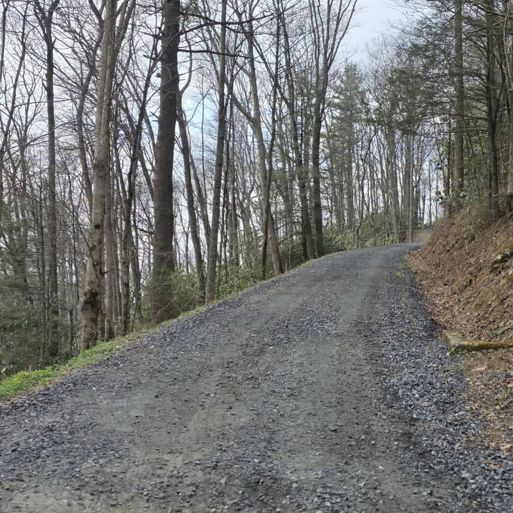
Ephraim Road - FS 5583
Total Miles
4.1
Tech Rating
Easy
Best Time
Spring, Summer, Fall
Learn more about Falls Dam Trail 96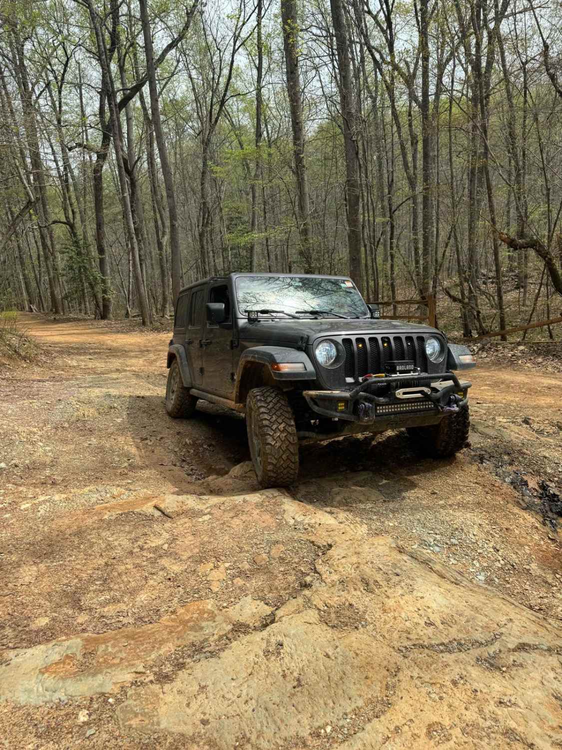
Falls Dam Trail 96
Total Miles
1.7
Tech Rating
Easy
Best Time
Spring, Summer, Fall
Learn more about Farley Cove - FS 407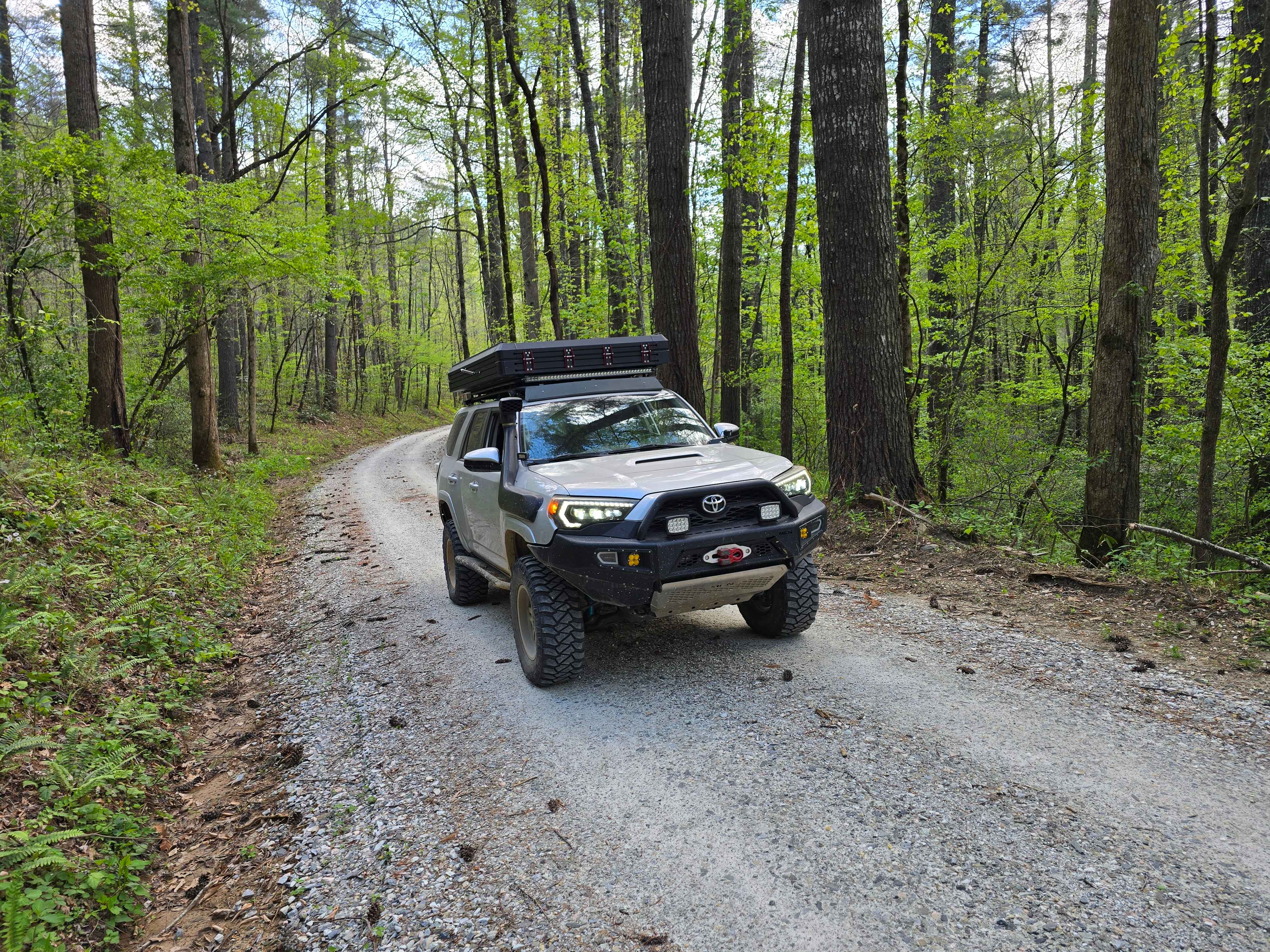
Farley Cove - FS 407
Total Miles
5.2
Tech Rating
Easy
Best Time
Spring, Summer, Fall, Winter
Learn more about Field Trial Road
Field Trial Road
Total Miles
5.7
Tech Rating
Easy
Best Time
Spring, Summer, Fall
ATV trails in North Carolina

Learn more about 1B Shortcut 
1B Shortcut
Total Miles
0.2
Tech Rating
Easy
Best Time
Spring, Fall, Summer, Winter
UTV/side-by-side trails in North Carolina
Learn more about 1B Shortcut
1B Shortcut
Total Miles
0.2
Tech Rating
Easy
Best Time
Spring, Fall, Summer, Winter
Learn more about 1B Upper
1B Upper
Total Miles
0.3
Tech Rating
Moderate
Best Time
Spring, Fall, Summer, Winter
The onX Offroad Difference
onX Offroad combines trail photos, descriptions, difficulty ratings, width restrictions, seasonality, and more in a user-friendly interface. Available on all devices, with offline access and full compatibility with CarPlay and Android Auto. Discover what you’re missing today!