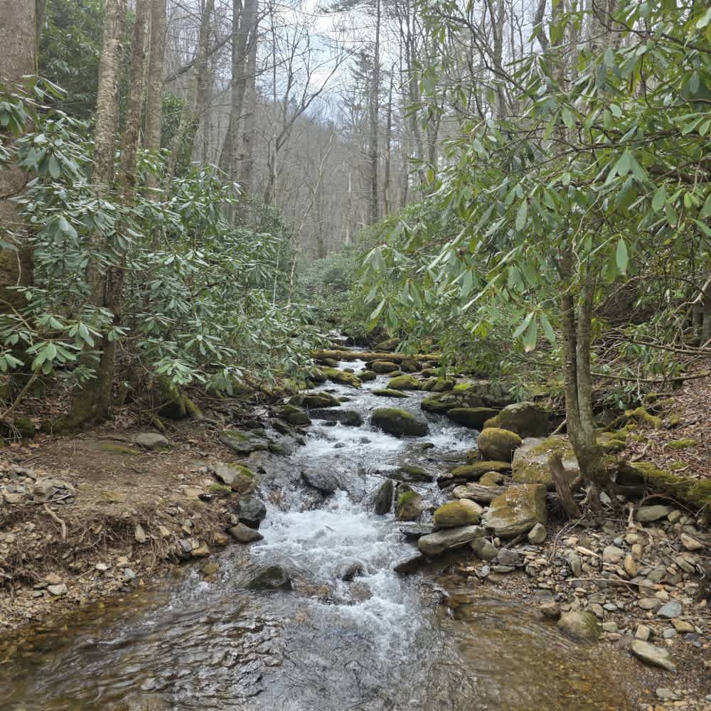
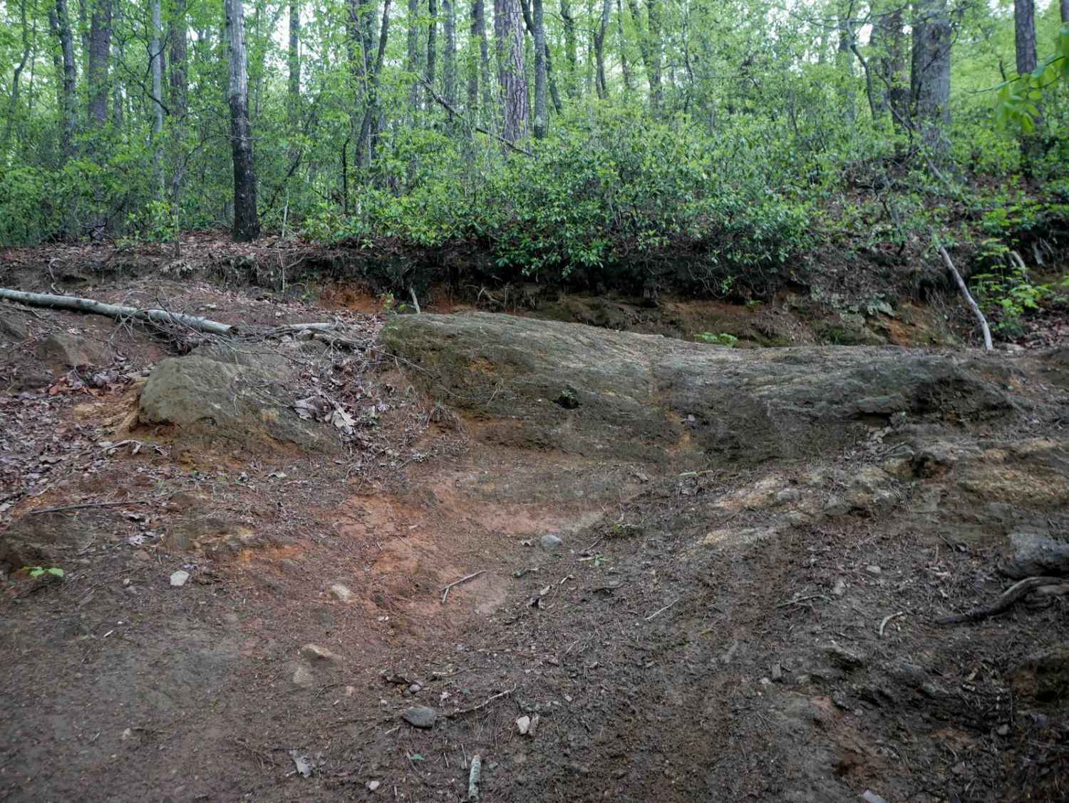
Off-Road Trails in North Carolina
Discover off-road trails in North Carolina


Learn more about Alfred Woodie Lane
Alfred Woodie Lane
Total Miles
1.2
Tech Rating
Easy
Best Time
Spring, Summer, Fall
Learn more about Alligator River National Wildlife Refuge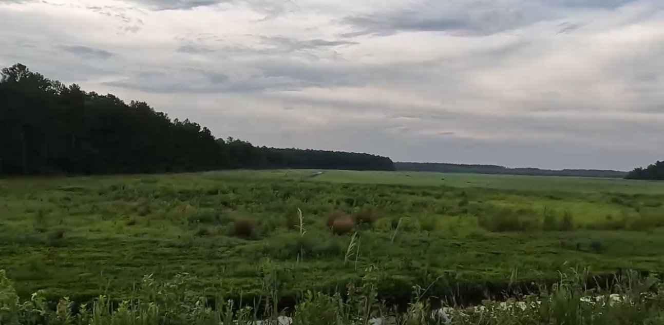
Alligator River National Wildlife Refuge
Total Miles
29.7
Tech Rating
Easy
Best Time
Summer, Spring
Learn more about Avery Creek - FS 477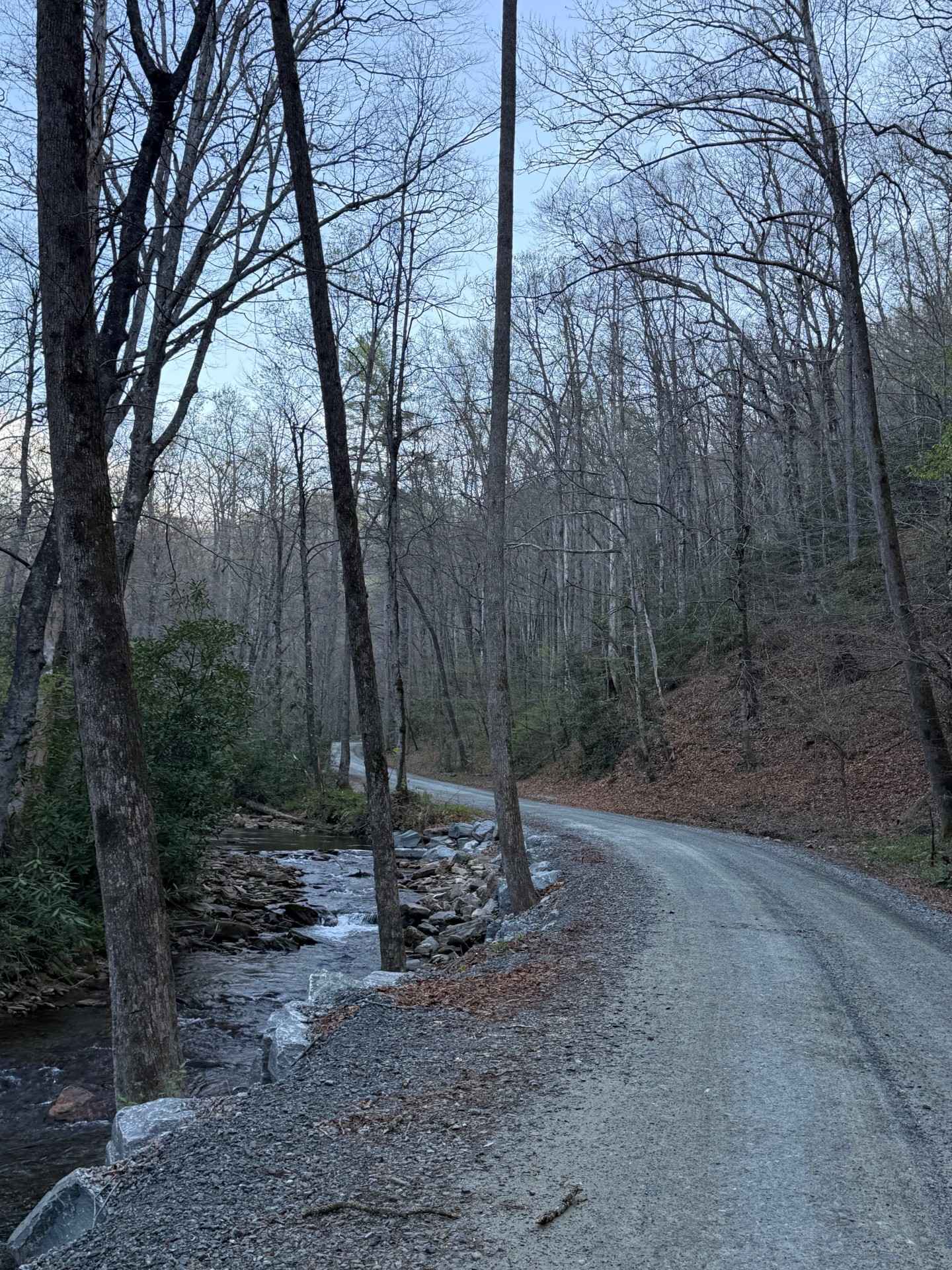
Avery Creek - FS 477
Total Miles
7.2
Tech Rating
Easy
Best Time
Spring, Summer, Fall, Winter
Learn more about Back Irish Creek - FS 118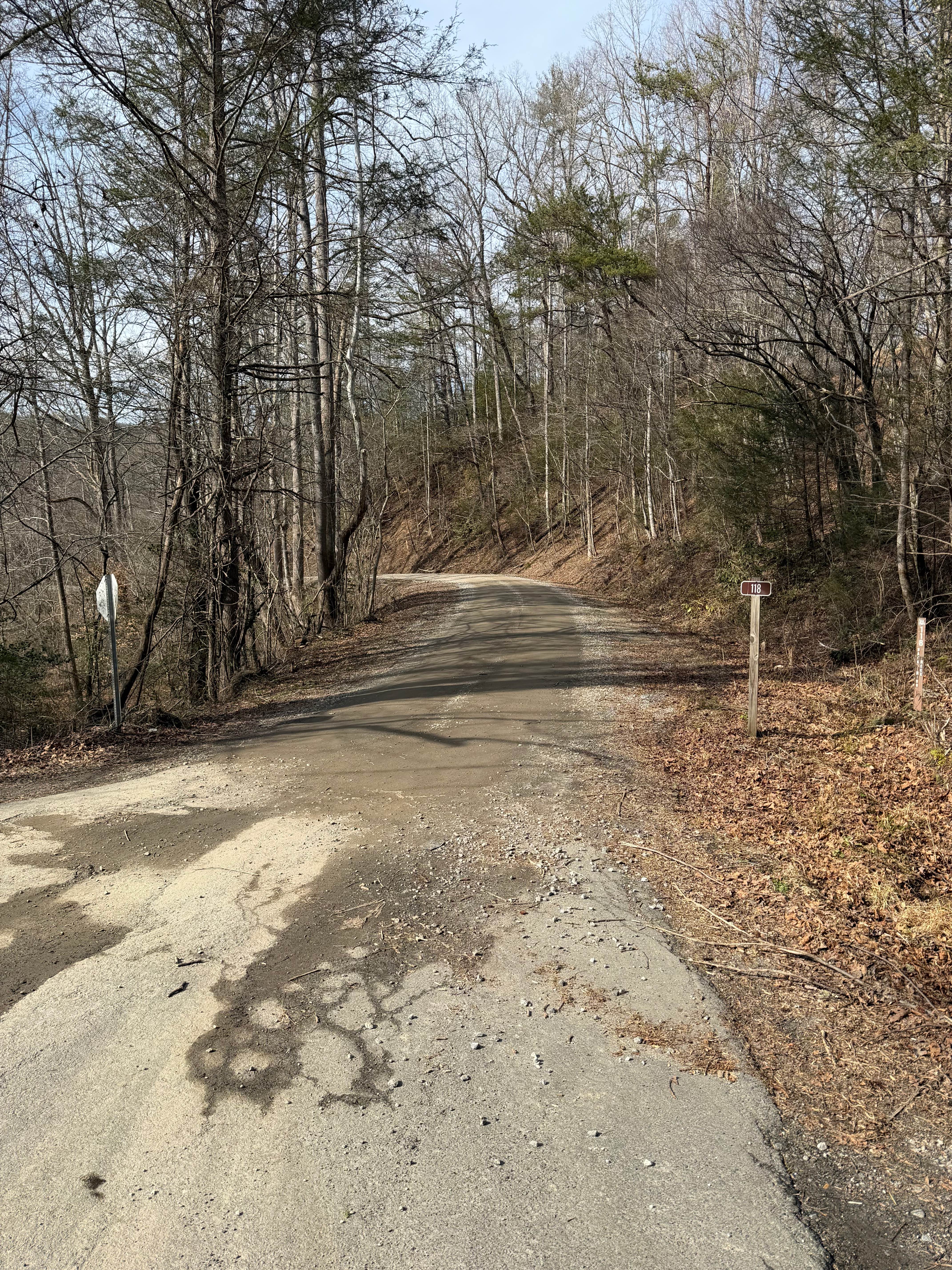
Back Irish Creek - FS 118
Total Miles
2.9
Tech Rating
Easy
Best Time
Spring, Summer, Fall, Winter
Learn more about Baggetts Lake Lane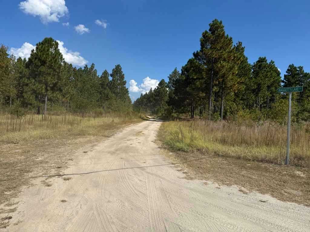
Baggetts Lake Lane
Total Miles
5.5
Tech Rating
Easy
Best Time
Spring, Summer, Fall
Learn more about Beaverdam Bald 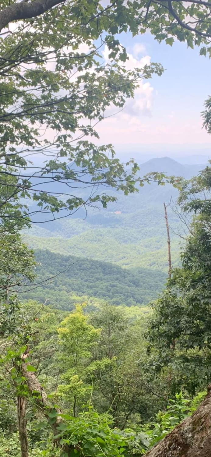
Beaverdam Bald
Total Miles
5.6
Tech Rating
Easy
Best Time
Spring, Summer, Fall, Winter
Learn more about Beech Creek Road - FS 307
Beech Creek Road - FS 307
Total Miles
10.6
Tech Rating
Easy
Best Time
Spring, Summer, Fall
Learn more about Bent Creek Trail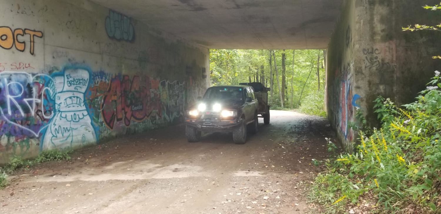
Bent Creek Trail
Total Miles
4.3
Tech Rating
Easy
Best Time
Spring, Summer, Fall, Winter
Learn more about Big Stamp - FS 427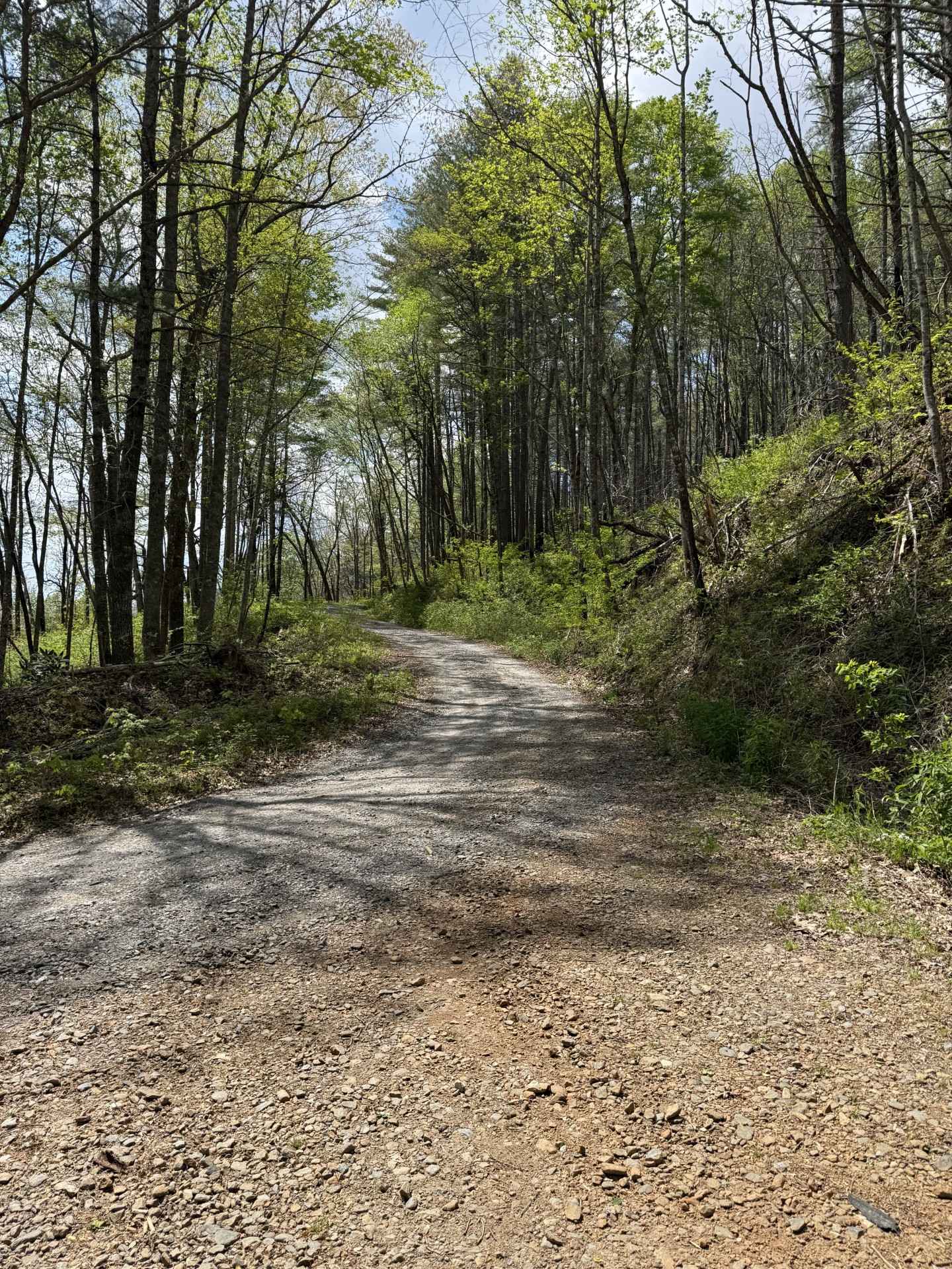
Big Stamp - FS 427
Total Miles
4.1
Tech Rating
Easy
Best Time
Spring, Summer, Fall, Winter
Learn more about Black Mountain Trail 3 
Black Mountain Trail 3
Total Miles
0.8
Tech Rating
Easy
Best Time
Spring, Fall, Summer
Learn more about Blanton Branch Trail 10 
Blanton Branch Trail 10
Total Miles
0.6
Tech Rating
Easy
Best Time
Spring, Summer, Fall
Learn more about Blue Boar Road
Blue Boar Road
Total Miles
1.8
Tech Rating
Easy
Best Time
Spring, Summer, Fall, Winter
Learn more about Blue Valley Road
Blue Valley Road
Total Miles
6.7
Tech Rating
Easy
Best Time
Spring, Summer, Fall, Winter

ATV trails in North Carolina

Learn more about 1B Shortcut 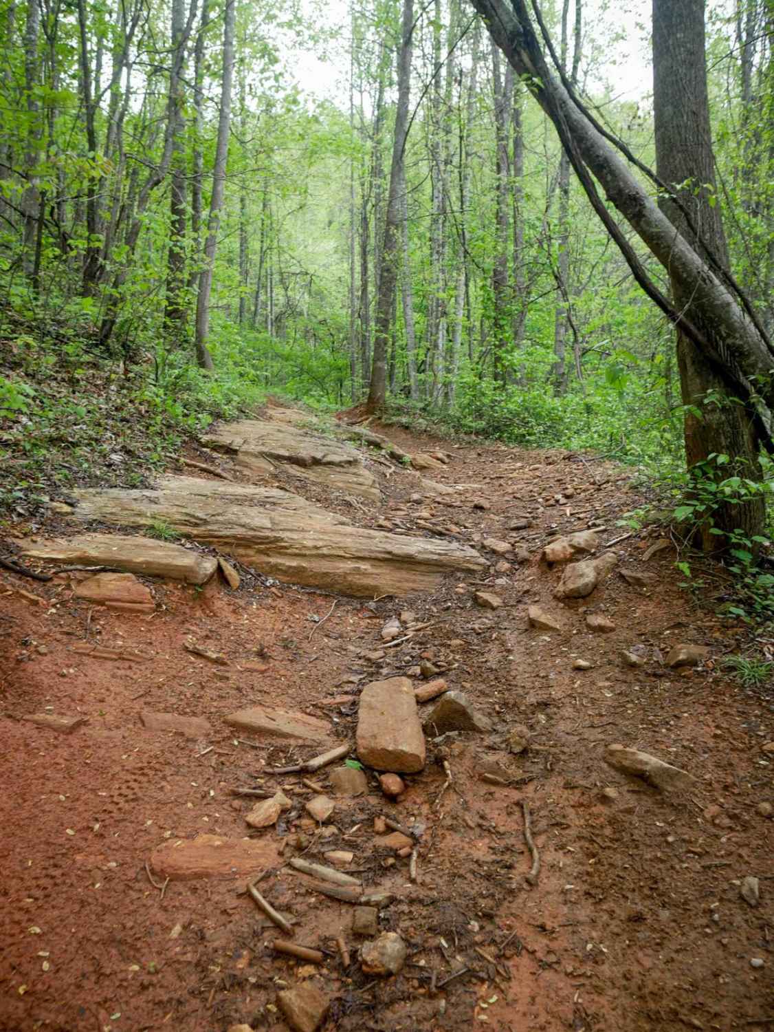
1B Shortcut
Total Miles
0.2
Tech Rating
Easy
Best Time
Spring, Fall, Summer, Winter
UTV/side-by-side trails in North Carolina
Learn more about 1B Shortcut
1B Shortcut
Total Miles
0.2
Tech Rating
Easy
Best Time
Spring, Fall, Summer, Winter
Learn more about 1B Upper
1B Upper
Total Miles
0.3
Tech Rating
Moderate
Best Time
Spring, Fall, Summer, Winter
The onX Offroad Difference
onX Offroad combines trail photos, descriptions, difficulty ratings, width restrictions, seasonality, and more in a user-friendly interface. Available on all devices, with offline access and full compatibility with CarPlay and Android Auto. Discover what you’re missing today!