A-6 Lane
Total Miles
4.6
Technical Rating
Best Time
Spring, Summer, Fall
Trail Type
Full-Width Road
Accessible By
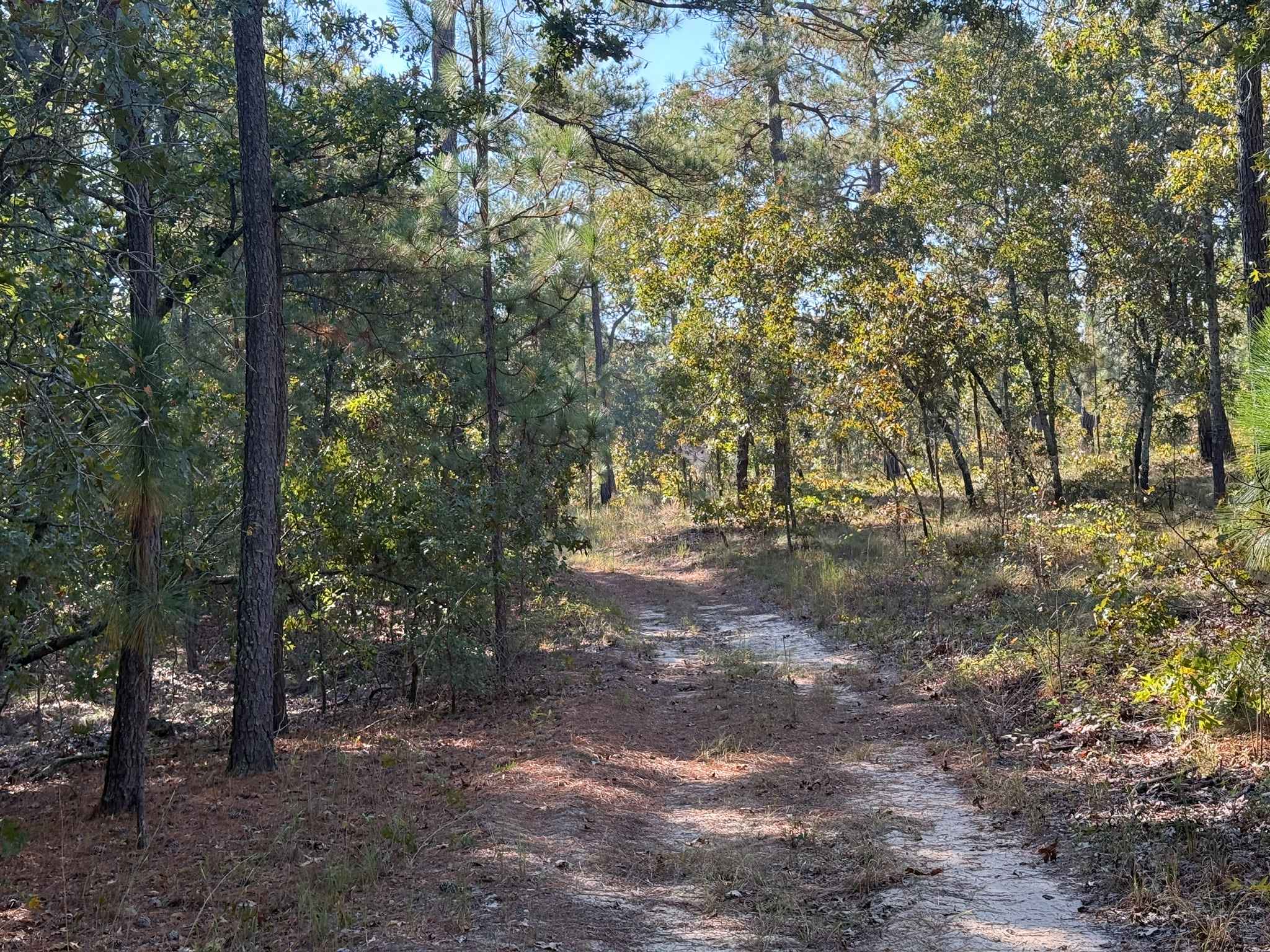
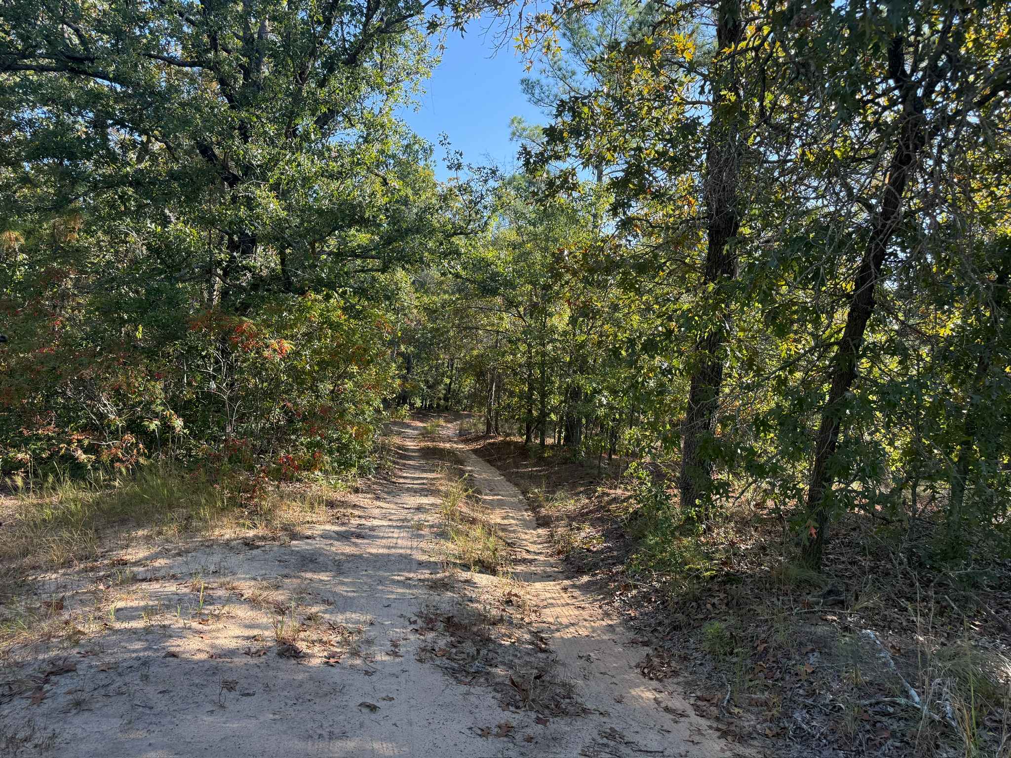
Trail Overview
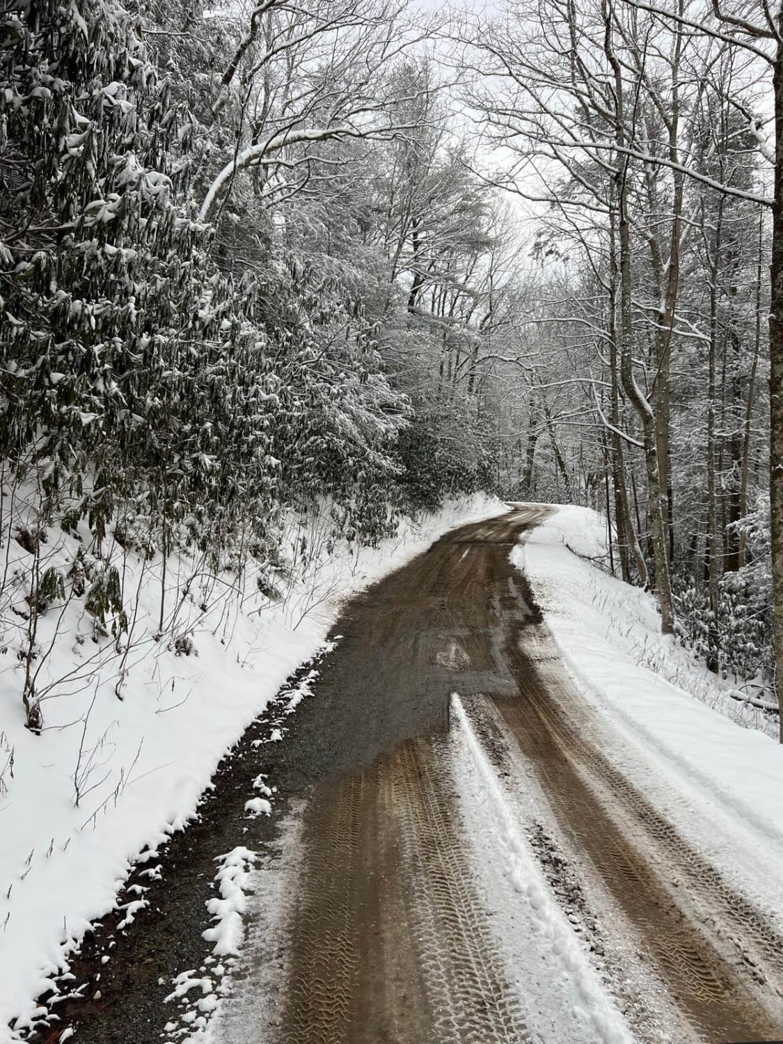
A-6 Lane is one of the primary Forest Service roads connecting the northern portions of the Sandhills Game Lands to the southern areas, while also serving as the boundary between the field trial grounds and the main game lands. The southern half of the road is generally wider and better maintained, making for a smoother and more accessible drive. In contrast, the northern section narrows into a double-track and presents light obstacles such as ruts, loose sand, and occasional encroaching branches. The ruts and sandy sections are typically no more than 8 inches deep, though they can become deeper with heavy rainfall or limited maintenance. While these obstacles may be smaller than those found on other nearby trails, the narrower width of the road can make them harder to avoid, increasing the possibility of scraping for lower-clearance vehicles. Although parts of the trail can be driven at higher speeds, its narrow layout, blind corners, rolling hills, and the potential presence of wildlife or pedestrians create unexpected hazards, so caution is advised.
Photos of A-6 Lane
Difficulty
Although this road is similar to a typical Forest Service road, it is generally more difficult than others due to less frequent maintenance, which has allowed ruts to form. These ruts are usually no deeper than about 8 inches; however, because of the narrow width of the trail, drivers may be required to travel through or straddle them rather than avoid them entirely. As a result, some ground clearance is recommended.
A-6 Lane can be accessed by the following ride types:
- High-Clearance 4x4
- SUV
A-6 Lane Map
Popular Trails
Bent Creek Trail

Cape Hatteras 34 to 38 Avon Beach
The onX Offroad Difference
onX Offroad combines trail photos, descriptions, difficulty ratings, width restrictions, seasonality, and more in a user-friendly interface. Available on all devices, with offline access and full compatibility with CarPlay and Android Auto. Discover what you’re missing today!