Bent Creek Trail
Total Miles
4.3
Technical Rating
Best Time
Spring, Summer, Fall, Winter
Trail Type
Full-Width Road
Accessible By
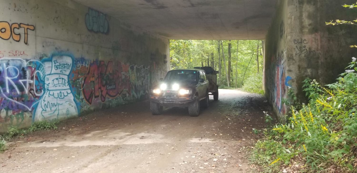
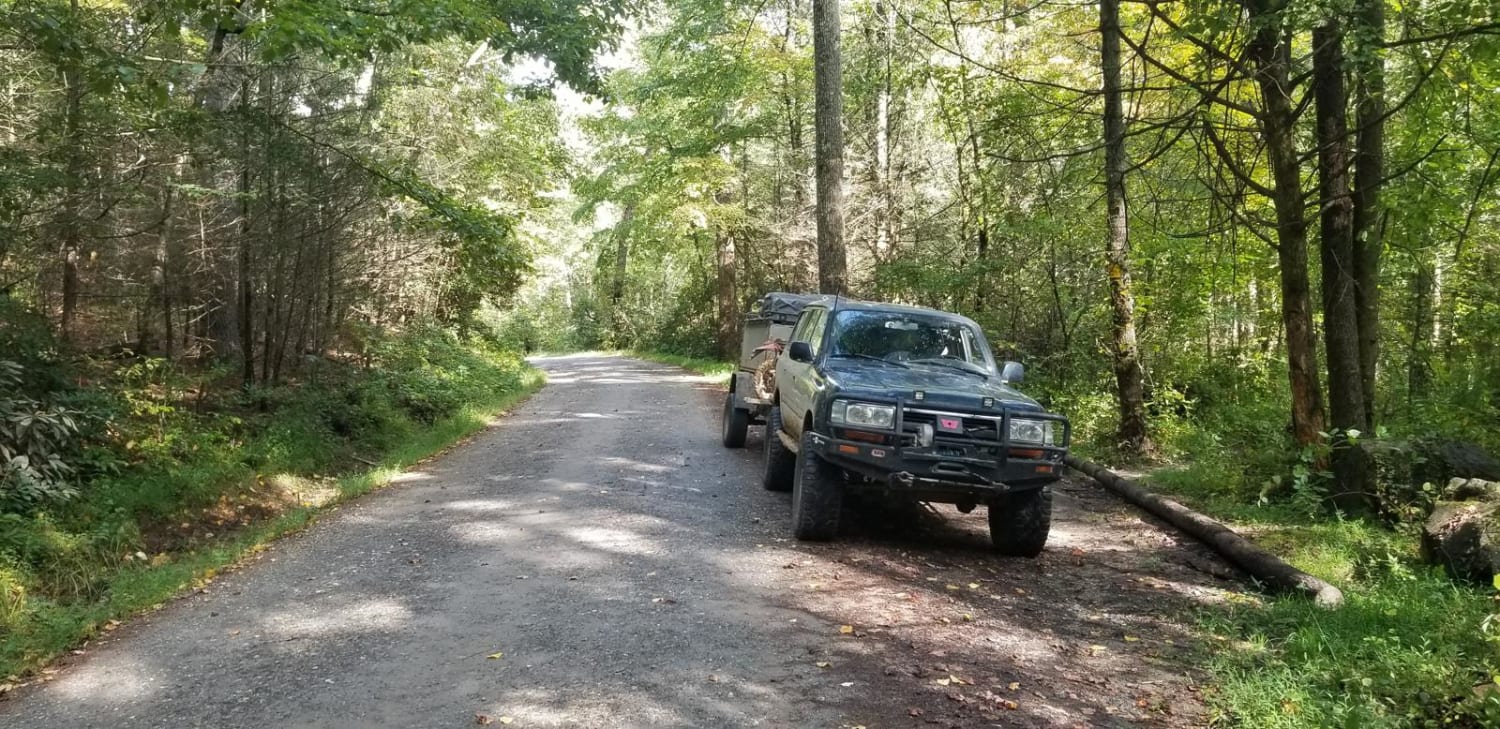
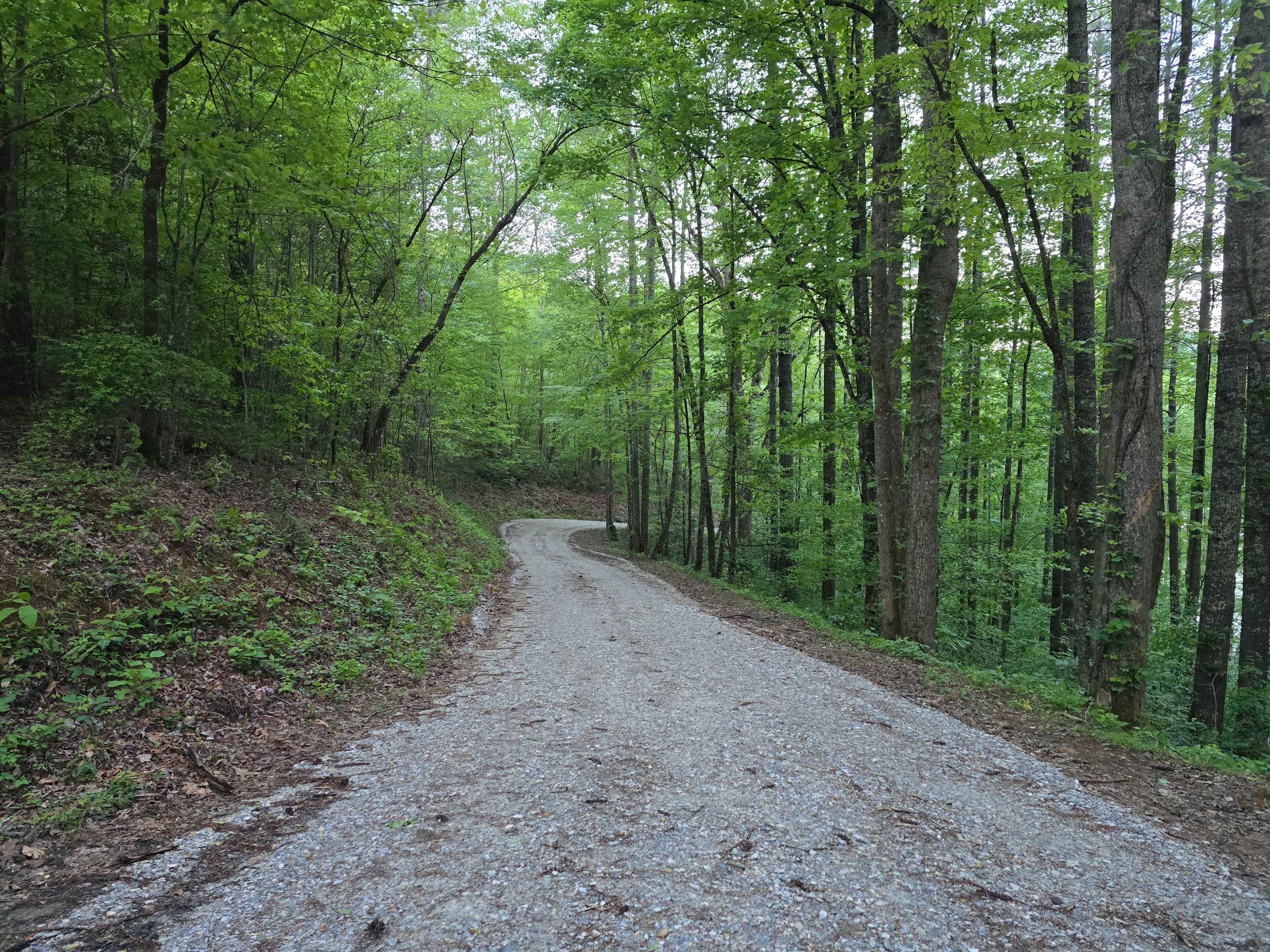
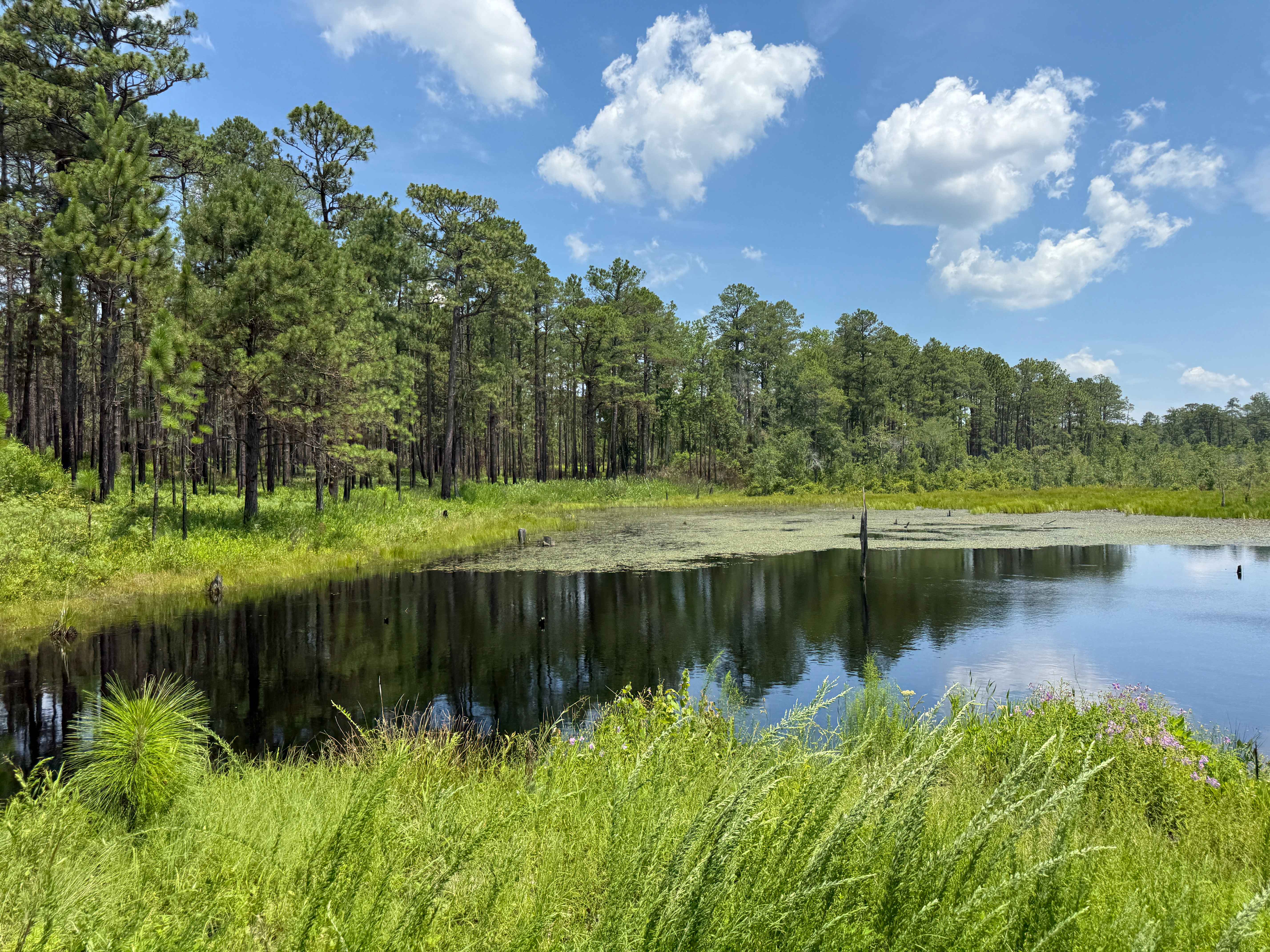
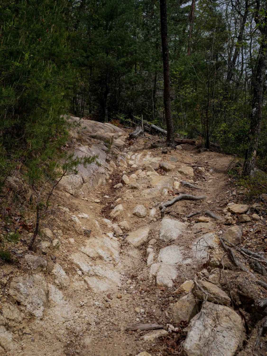
Trail Overview
This is a short section of roadway out of Asheville that connects to the Blue Ridge Parkway. The road winds up the Blue Ridge Mountains through scenic back-country areas with multiple trails and recreational areas nearby. This road is a great area to connect to other Pisgah National Forest Routes and the Blue Ridge Parkway.
Photos of Bent Creek Trail
Difficulty
Basic maintained forest service road.
Status Reports
Bent Creek Trail can be accessed by the following ride types:
- High-Clearance 4x4
- SUV
Bent Creek Trail Map
Popular Trails
Long Hungry Branch

Dickey Bell Trail 91
Trail 3 Sullivan's Pass
The onX Offroad Difference
onX Offroad combines trail photos, descriptions, difficulty ratings, width restrictions, seasonality, and more in a user-friendly interface. Available on all devices, with offline access and full compatibility with CarPlay and Android Auto. Discover what you’re missing today!