Off-Road Trails in North Carolina
Discover off-road trails in North Carolina
Learn more about Pringle Road Spur 1
Pringle Road Spur 1
Total Miles
1.0
Tech Rating
Moderate
Best Time
Spring, Summer, Fall
Learn more about Pringle Road Spur 2
Pringle Road Spur 2
Total Miles
0.5
Tech Rating
Easy
Best Time
Spring, Summer, Fall
Learn more about Pringle Road Spur 3
Pringle Road Spur 3
Total Miles
1.0
Tech Rating
Easy
Best Time
Spring, Summer, Fall
Learn more about Rail Line Way 7A (One-Way) 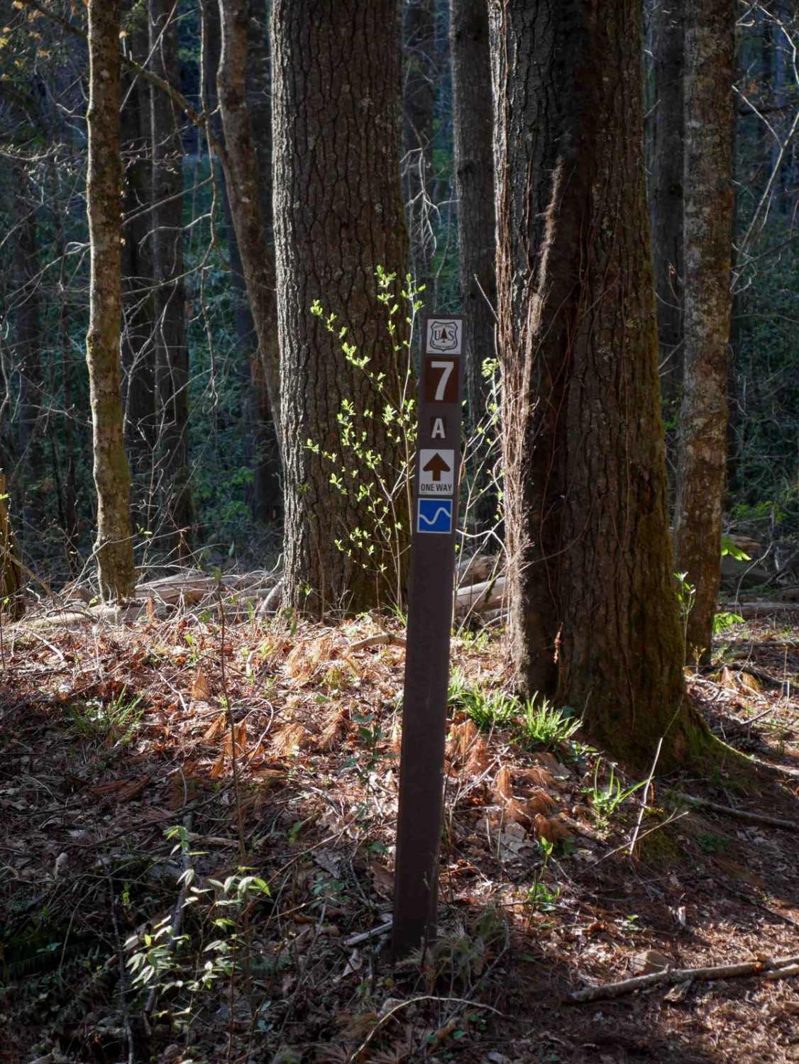
Rail Line Way 7A (One-Way)
Total Miles
0.4
Tech Rating
Easy
Best Time
Spring, Fall, Summer
Learn more about Raven Cliff - FS 197
Raven Cliff - FS 197
Total Miles
1.5
Tech Rating
Easy
Best Time
Spring, Summer, Fall
Learn more about Rich Cove - FS 270B
Rich Cove - FS 270B
Total Miles
1.6
Tech Rating
Easy
Best Time
Spring, Summer, Fall
Learn more about Rich Mountain Lookout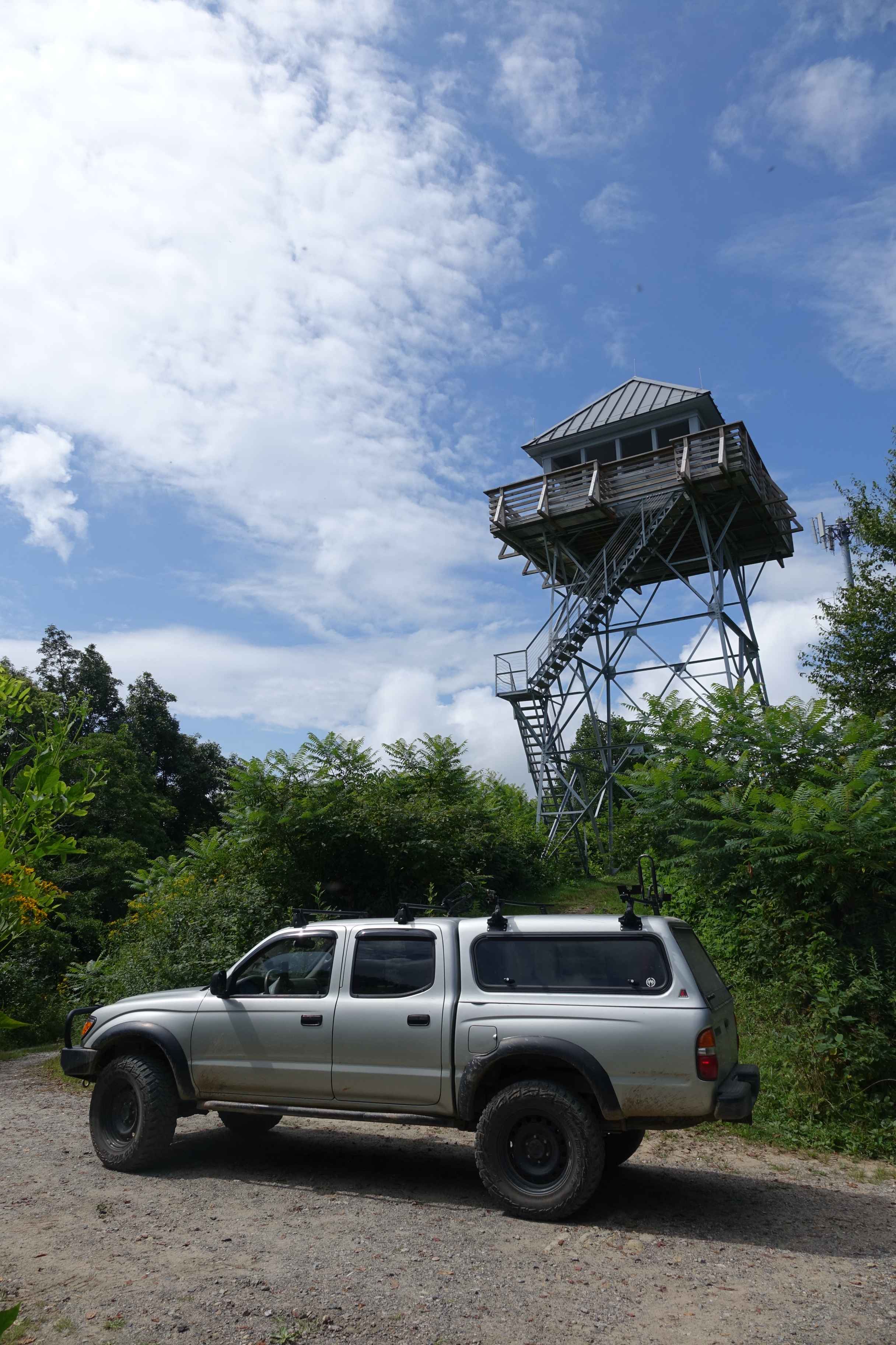
Rich Mountain Lookout
Total Miles
1.3
Tech Rating
Easy
Best Time
Spring, Summer, Fall, Winter
Learn more about Rocky Mount Loop Trail 92
Rocky Mount Loop Trail 92
Total Miles
1.3
Tech Rating
Moderate
Best Time
Spring, Summer, Fall
Learn more about Roseboro Gragg - FS 192
Roseboro Gragg - FS 192
Total Miles
3.1
Tech Rating
Easy
Best Time
Spring, Summer, Fall
Learn more about Roseboro Road - FS 981
Roseboro Road - FS 981
Total Miles
4.6
Tech Rating
Easy
Best Time
Spring, Summer, Fall
Learn more about Roses Creek - FS 210
Roses Creek - FS 210
Total Miles
8.8
Tech Rating
Easy
Best Time
Spring, Summer, Fall
Learn more about Sams Branch Road
Sams Branch Road
Total Miles
1.5
Tech Rating
Easy
Best Time
Spring, Summer, Fall
Learn more about Sawmill Bottoms Trail 8
Sawmill Bottoms Trail 8
Total Miles
0.8
Tech Rating
Easy
Best Time
Spring, Fall, Summer
Learn more about Sawmill Trail 93
Sawmill Trail 93
Total Miles
0.9
Tech Rating
Easy
Best Time
Summer, Fall, Spring
Learn more about School House Ridge - FS 4068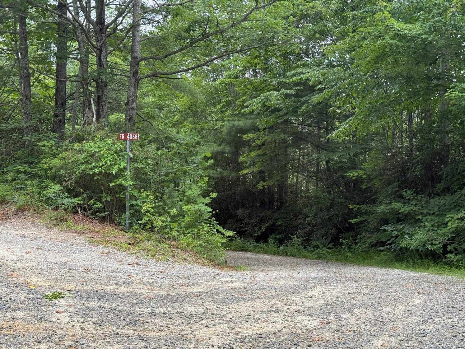
School House Ridge - FS 4068
Total Miles
4.2
Tech Rating
Easy
Best Time
Summer, Fall
Learn more about Scotland Lane
Scotland Lane
Total Miles
4.1
Tech Rating
Easy
Best Time
Spring, Summer, Fall

Learn more about Shuler Creek
Shuler Creek
Total Miles
10.6
Tech Rating
Easy
Best Time
Spring, Summer, Fall, Winter
Learn more about Slab Pile Trail 79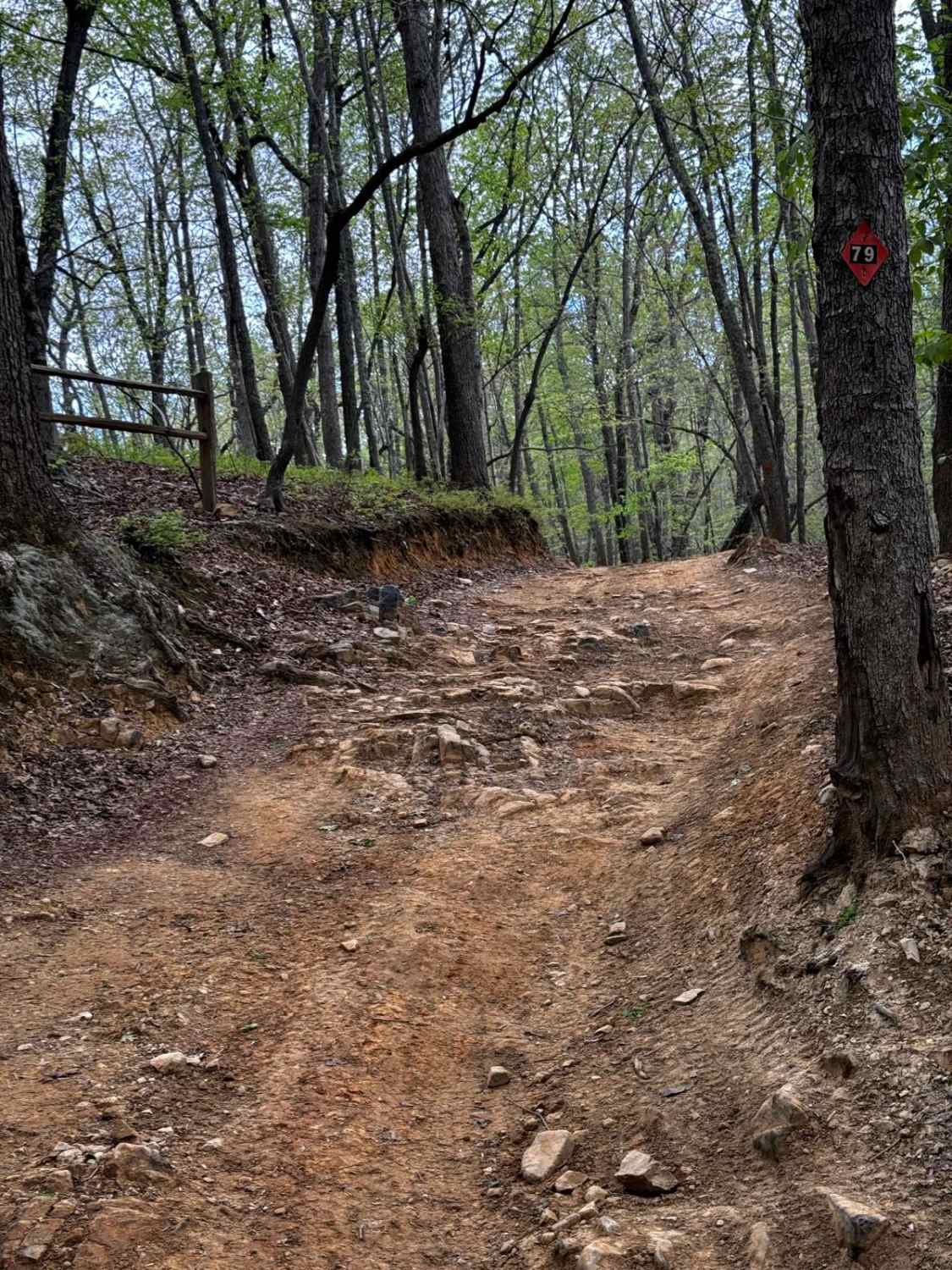
Slab Pile Trail 79
Total Miles
1.1
Tech Rating
Easy
Best Time
Summer, Spring, Fall
ATV trails in North Carolina

Learn more about 1B Shortcut 
1B Shortcut
Total Miles
0.2
Tech Rating
Easy
Best Time
Spring, Fall, Summer, Winter
UTV/side-by-side trails in North Carolina
Learn more about 1B Shortcut
1B Shortcut
Total Miles
0.2
Tech Rating
Easy
Best Time
Spring, Fall, Summer, Winter
Learn more about 1B Upper
1B Upper
Total Miles
0.3
Tech Rating
Moderate
Best Time
Spring, Fall, Summer, Winter
The onX Offroad Difference
onX Offroad combines trail photos, descriptions, difficulty ratings, width restrictions, seasonality, and more in a user-friendly interface. Available on all devices, with offline access and full compatibility with CarPlay and Android Auto. Discover what you’re missing today!