Scotland Lane
Total Miles
4.1
Technical Rating
Best Time
Spring, Summer, Fall
Trail Type
Full-Width Road
Accessible By
Trail Overview
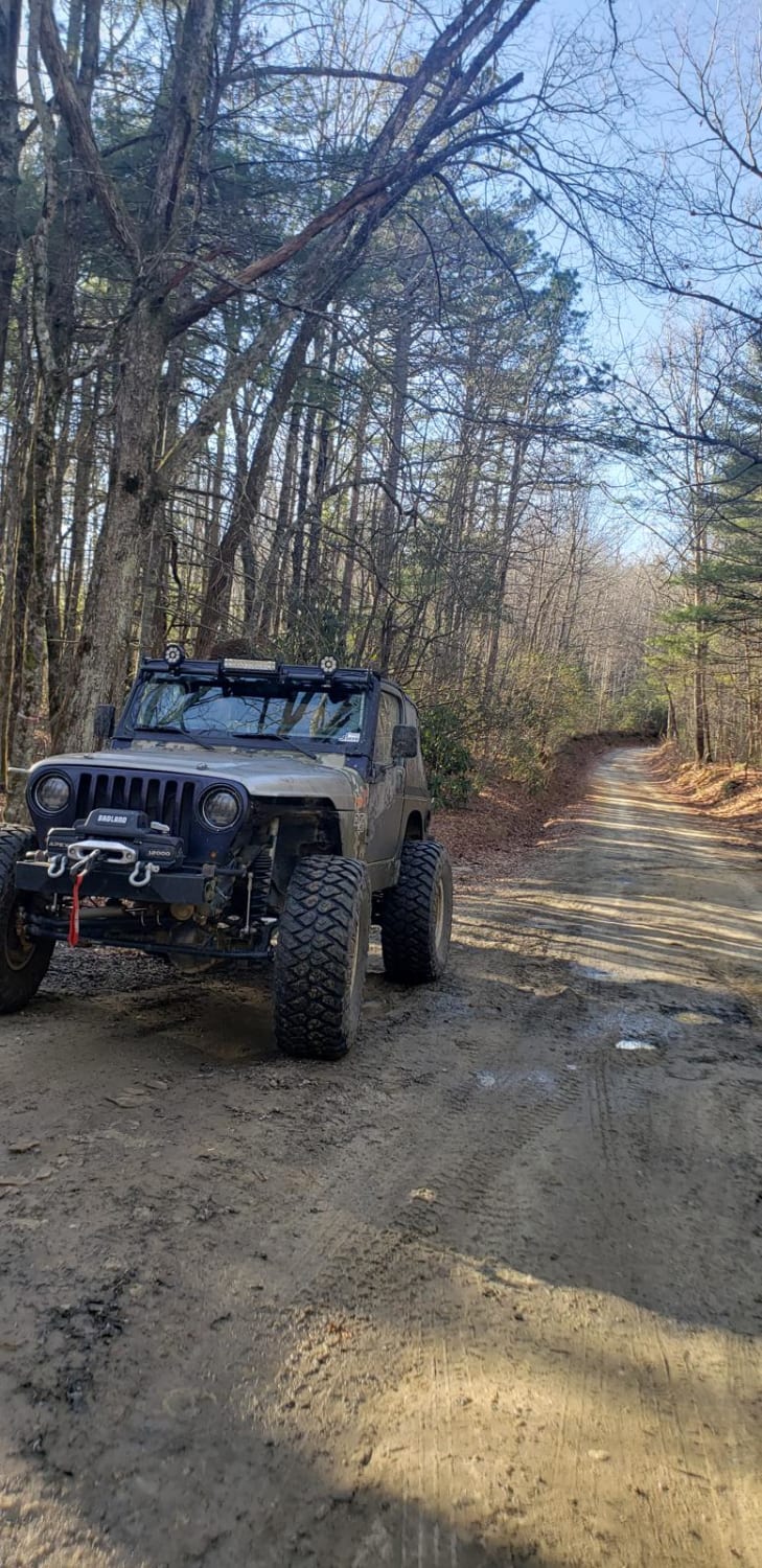
Scotland Lane is a smaller, less-maintained forest service road that runs east to west through the southern portion of the Sandhills Game Lands. The majority of the trail is generally easy; however, after rainfall, a few moderate-sized puddles can form toward the western end. Additional minor challenges include scattered loose sand and small to medium-sized ruts along portions of the trail. Near the eastern end of the route is a large lake known as Scotland Lake, which can be a good spot for camping, fishing, or kayaking, depending on the season. Several hiking offshoots are also located throughout the trail, particularly around the lake area. The eastern portion of the trail, east of Strausburg Lane, borders the Camp Mackall Military Reservation. Access to the reservation is strictly prohibited and marked with signage. It is somewhat unclear whether the road east of Strausburg Lane lies partially within reservation boundaries, so extra caution should be taken in this area. Drivers should also remain aware of wildlife, hikers, and possible military personnel that may be present along the trail.
Photos of Scotland Lane


Difficulty
The trail is generally on the easier side; however, a few narrow sections, loose sand, ruts, and the possibility of moderate-sized puddles raise the difficulty slightly. In dry conditions, the trail is very straightforward, with the biggest challenge being ruts that are only a few inches deep. After rainfall, more caution should be taken--especially around puddles--which can reach depths of up to about 6 inches.
Status Reports
Scotland Lane can be accessed by the following ride types:
- High-Clearance 4x4
- SUV
Scotland Lane Map
Popular Trails
Pinicale Mt Rd

Pond Mountain Game Land Access Road


Dickey Bell Trail 91
The onX Offroad Difference
onX Offroad combines trail photos, descriptions, difficulty ratings, width restrictions, seasonality, and more in a user-friendly interface. Available on all devices, with offline access and full compatibility with CarPlay and Android Auto. Discover what you’re missing today!