Shad Road
Total Miles
9.1
Technical Rating
Best Time
Summer
Trail Type
High-Clearance 4x4 Trail
Accessible By
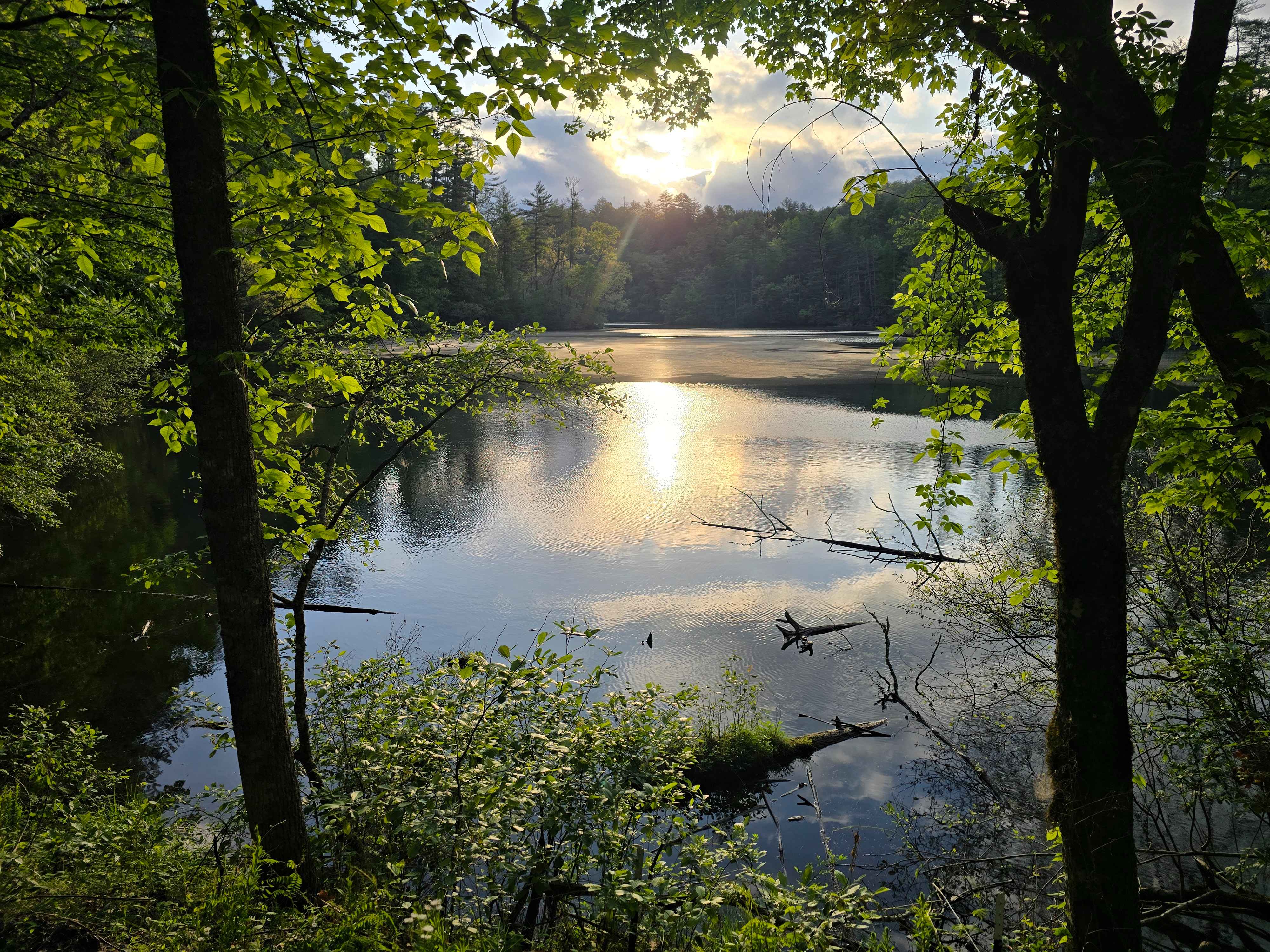
Trail Overview
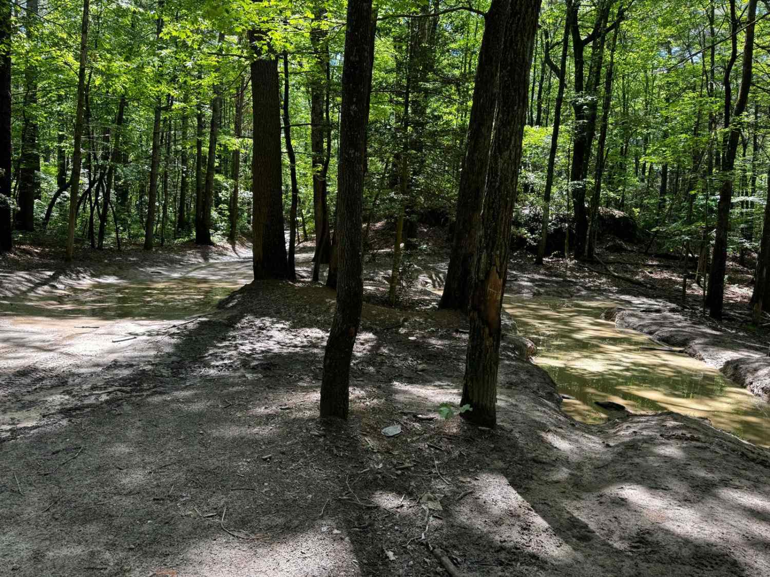
The two ends of Shad Road that connect to Hurricane Gap are rather misleading. While it starts out as a relatively tame gravel two-track, the middle section is much more difficult than you may be led to believe in the first half mile at each end. A few campsites are scattered along each end, but none are available in the middle section of the trail. Expect very tight sections of rhododendron, washouts, and water-filled holes, some of which have soft bottoms. Many of the rutted sections will require either large tires and upgraded suspensions or driving with a tire on each side of the washout. Larger vehicles might have a harder time picking a line in places where the trail is narrow. A few of the deeper holes have drive-arounds, but these are narrow.
Photos of Shad Road


Difficulty
I had to use 4 low several times, and even then with aired down MT tires a few of the holes and washes were challenging. This trail can be very misleading and someone could be in over their head before they realized it. It also offers very few places to turn around. Without a spotter it takes a very slow pace and a decently outfitted truck.
Status Reports
Shad Road can be accessed by the following ride types:
- High-Clearance 4x4
Shad Road Map
Popular Trails
Blue Boar Road
Brown Mountain Trail 8

Huntdale Road

Roseboro Road - FS 981
The onX Offroad Difference
onX Offroad combines trail photos, descriptions, difficulty ratings, width restrictions, seasonality, and more in a user-friendly interface. Available on all devices, with offline access and full compatibility with CarPlay and Android Auto. Discover what you’re missing today!