Pettiford Creek Trail 6
Total Miles
0.6
Technical Rating
Best Time
Spring, Summer, Fall
Trail Type
Full-Width Road
Accessible By
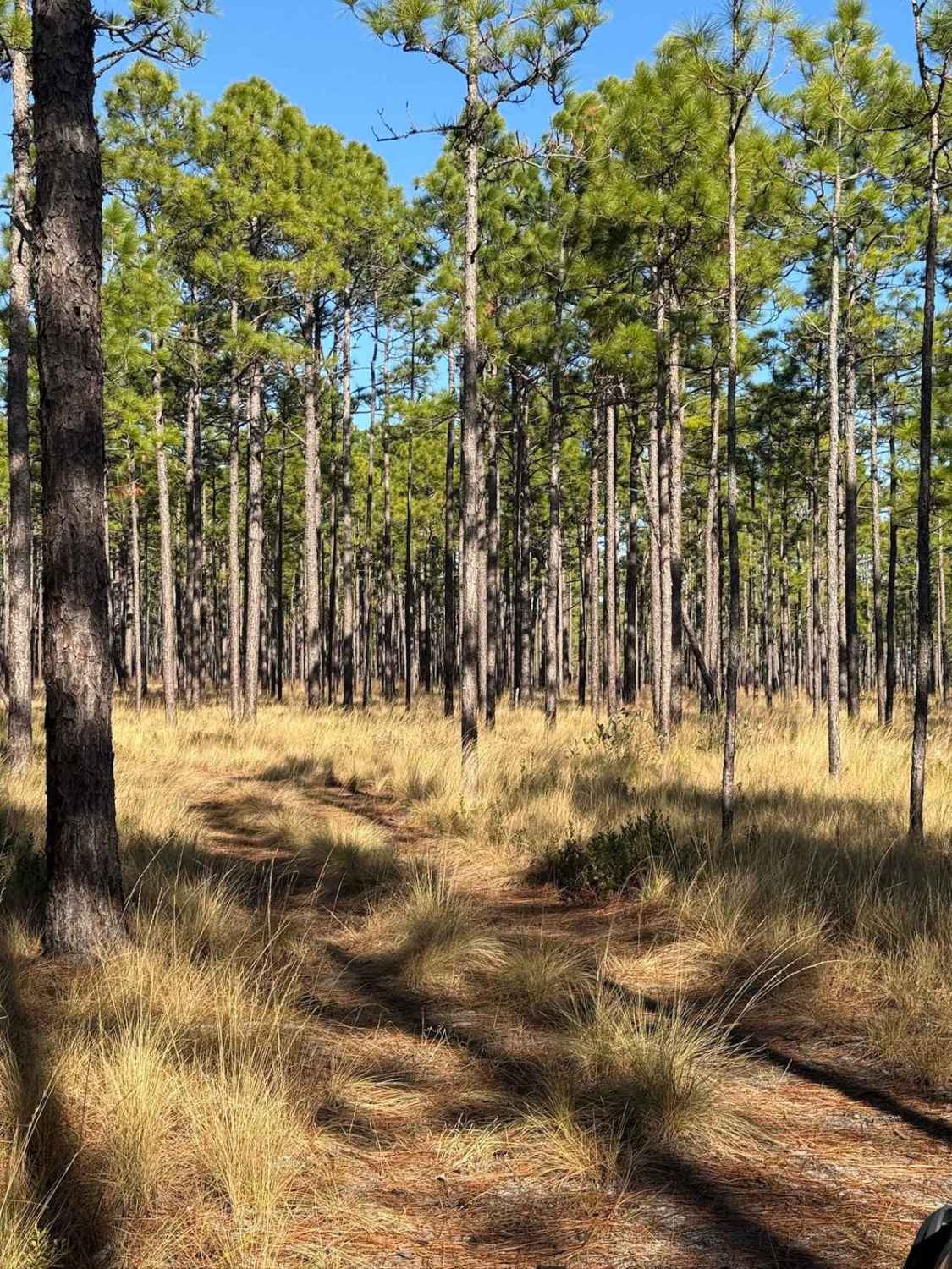
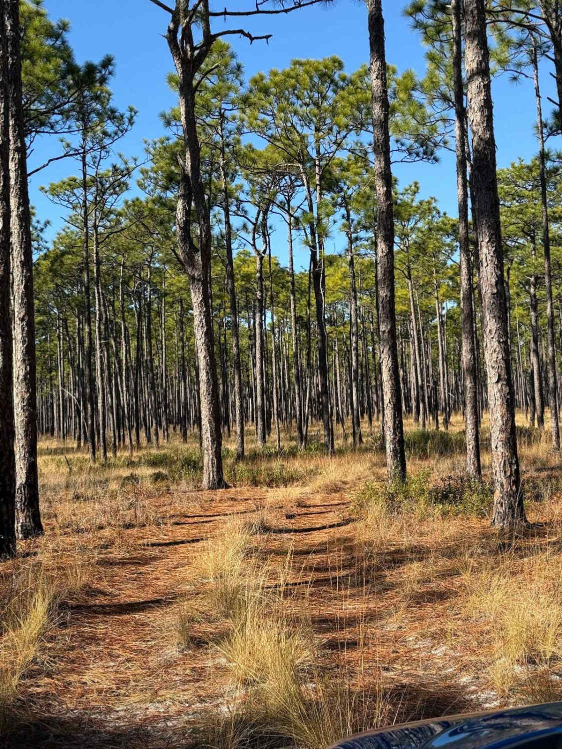
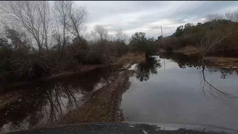
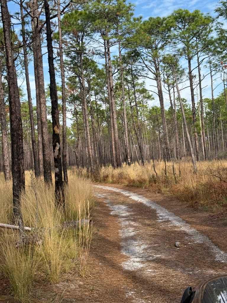
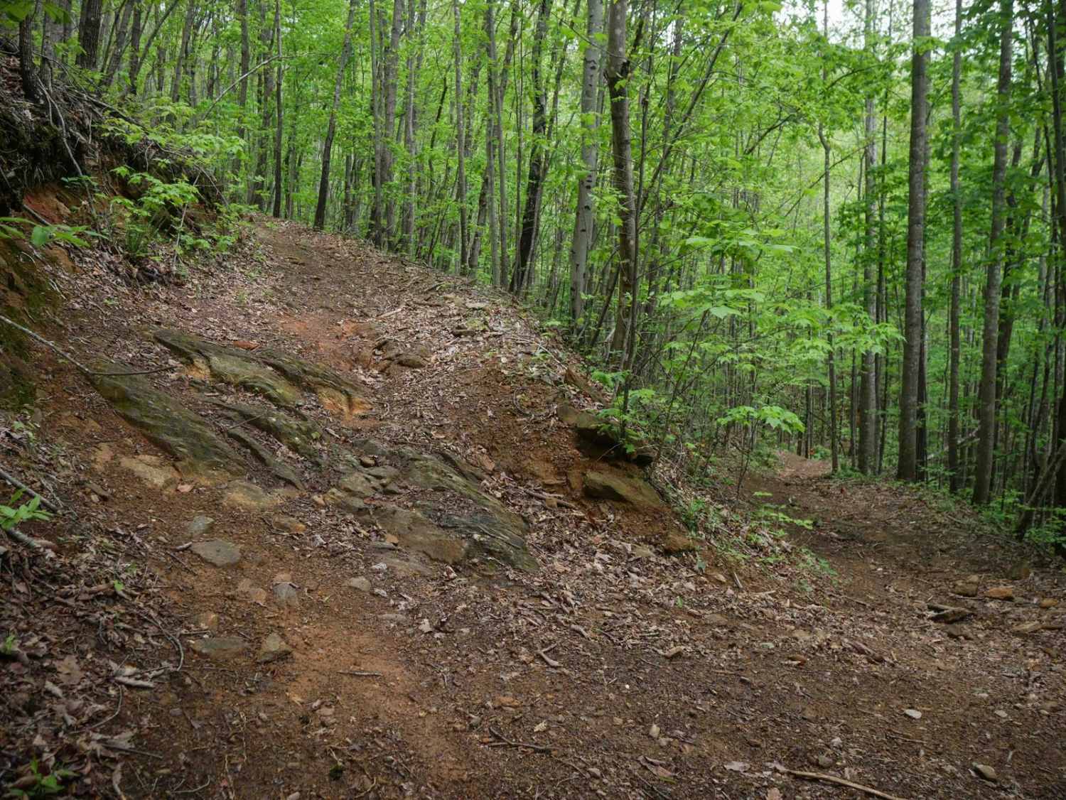
Trail Overview
This offshoot from the Pettiford Creek Main Trail connects to the Pettiford Creek Eastern Entrance. The trail consists primarily of sandy double-track, with a few scattered mud pits that add some challenge but are smaller than most in Pettiford Creek State Forest, making this route relatively easy. While there are a few narrow sections, they are manageable even for full-size vehicles. A small stretch of loose sand is present, but is less challenging than other areas in the forest. Several offshoots can be found along the way, including Pettiford Creek Trail 8. Toward the end, the trail forks, leading to the Pettiford Creek Eastern Entrance--one of the best trails in the forest--or Pettiford Creek Trail 7, which features a very narrow water crossing that may be impassable for full-size vehicles.
Photos of Pettiford Creek Trail 6
Difficulty
This is one of the easier trails in the area however, there are a few mud pits that range in difficulty depending on the time of the year and rainfall. Along with the mud pits, loose sand at the beginning of the trail can pose a challenge of its own.
Status Reports
Pettiford Creek Trail 6 can be accessed by the following ride types:
- High-Clearance 4x4
- SUV
Pettiford Creek Trail 6 Map
Popular Trails
Ocean Pearl Road - The Gauntlet
Pettiford Creek Trail 3
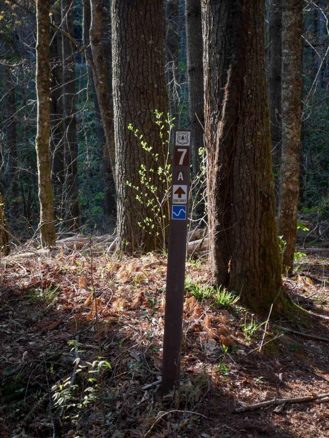
Rail Line Way 7A (One-Way)
The onX Offroad Difference
onX Offroad combines trail photos, descriptions, difficulty ratings, width restrictions, seasonality, and more in a user-friendly interface. Available on all devices, with offline access and full compatibility with CarPlay and Android Auto. Discover what you’re missing today!