Off-Road Trails in Georgia
Discover off-road trails in Georgia
Learn more about Fish Knob - FS 4C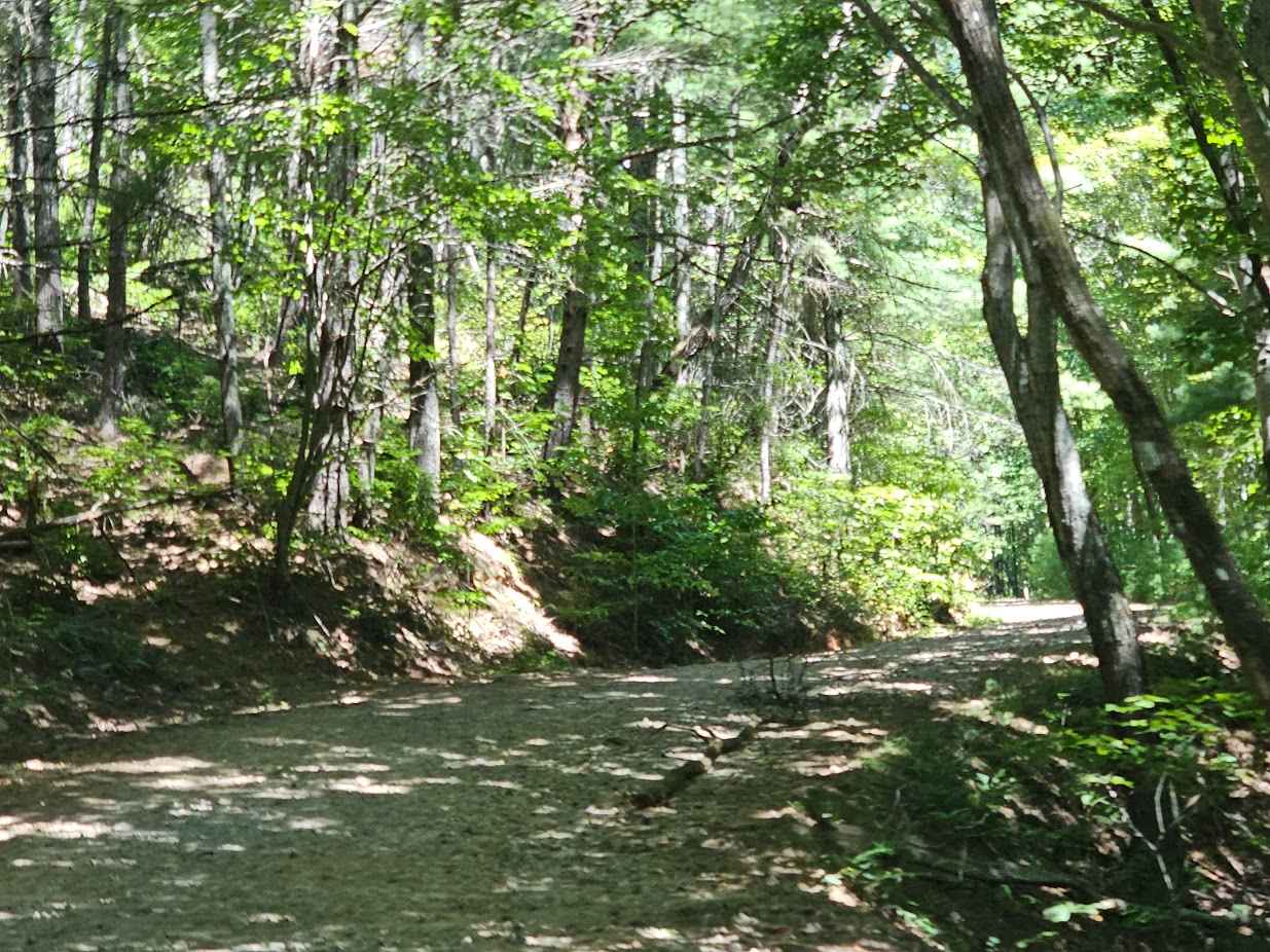
Fish Knob - FS 4C
Total Miles
2.7
Tech Rating
Easy
Best Time
Spring, Summer, Fall, Winter
Learn more about Fishing Road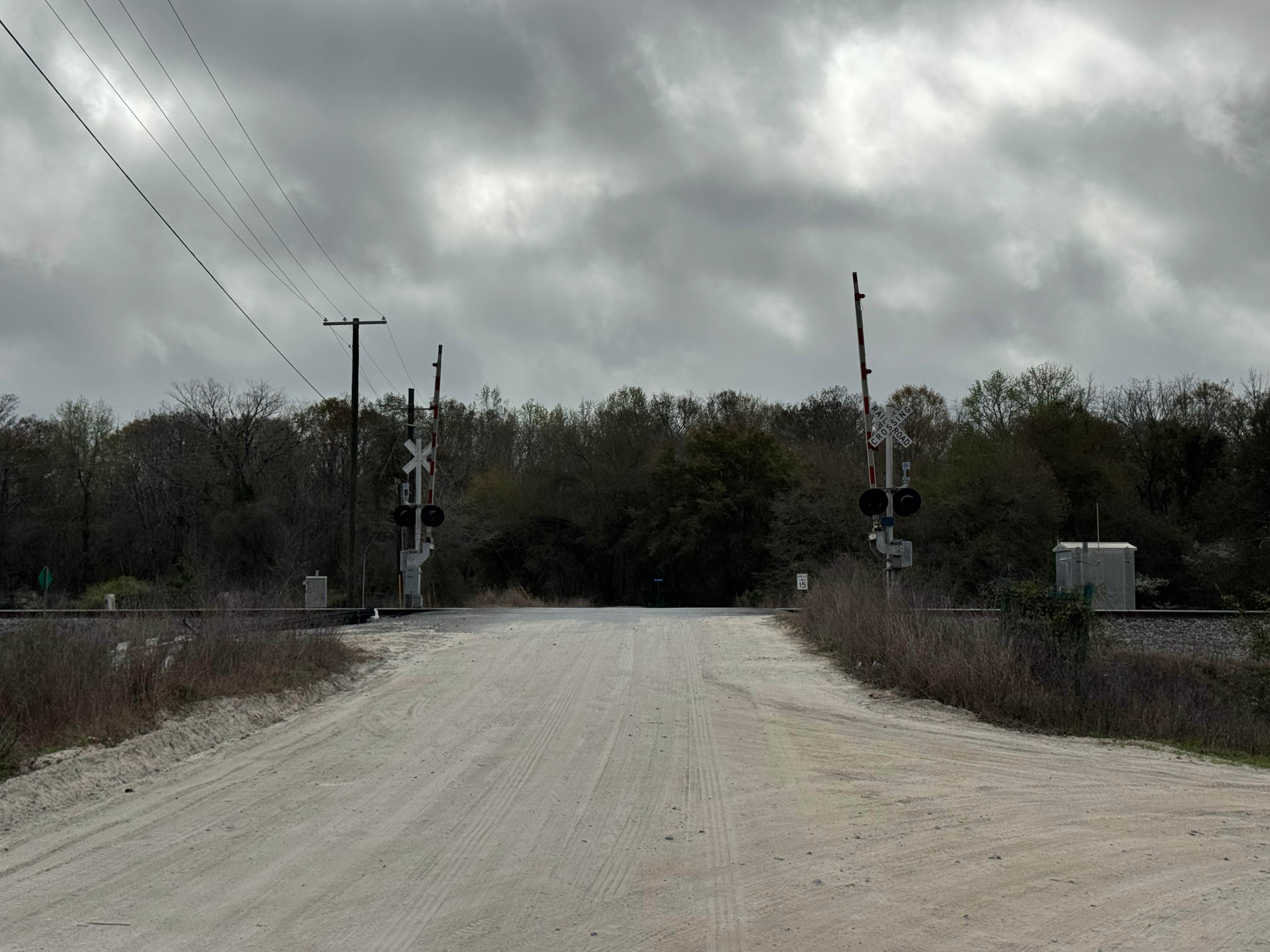
Fishing Road
Total Miles
11.0
Tech Rating
Moderate
Best Time
Spring, Summer, Fall, Winter
Learn more about Flat Creek Road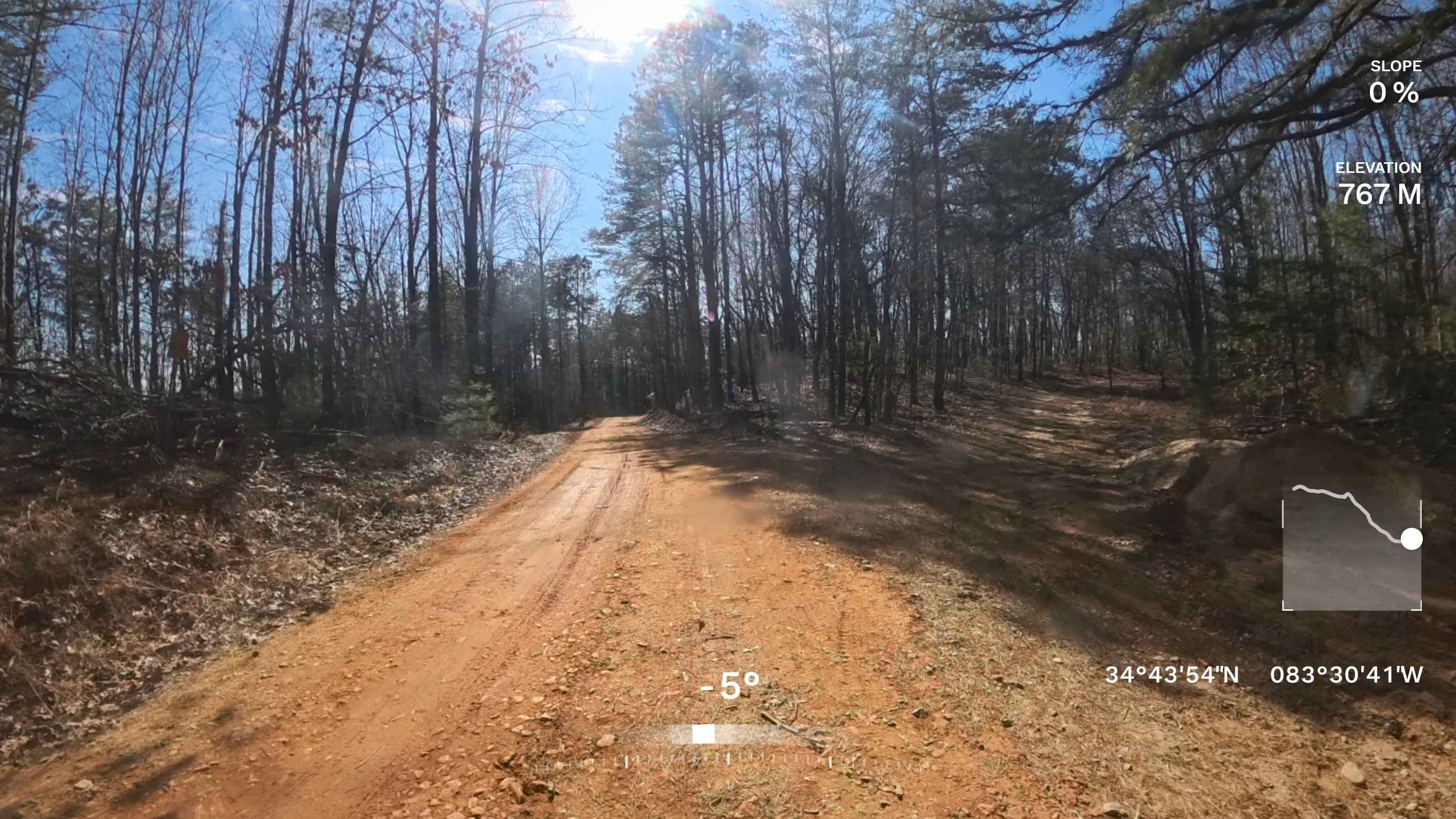
Flat Creek Road
Total Miles
0.7
Tech Rating
Easy
Best Time
Spring, Fall, Winter, Summer
Learn more about Flat Hole Loop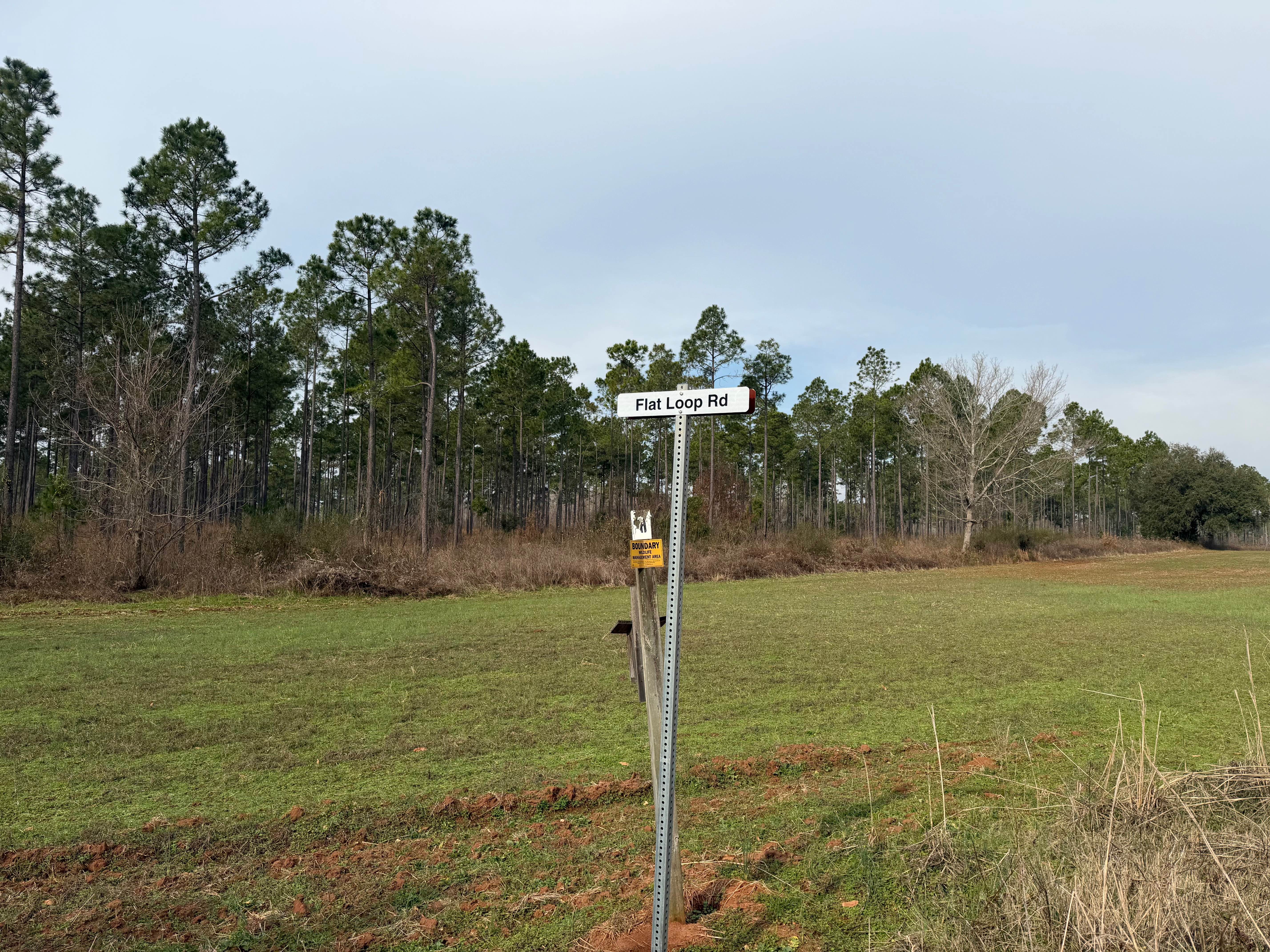
Flat Hole Loop
Total Miles
7.2
Tech Rating
Easy
Best Time
Spring, Summer, Fall, Winter
Learn more about Flat Top Mountain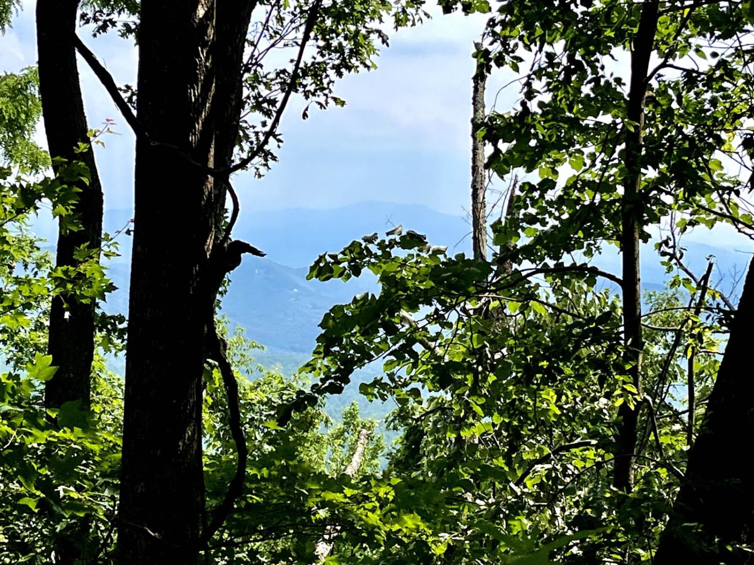
Flat Top Mountain
Total Miles
1.7
Tech Rating
Easy
Best Time
Spring, Summer, Fall, Winter
Learn more about Flatlands FS Road 637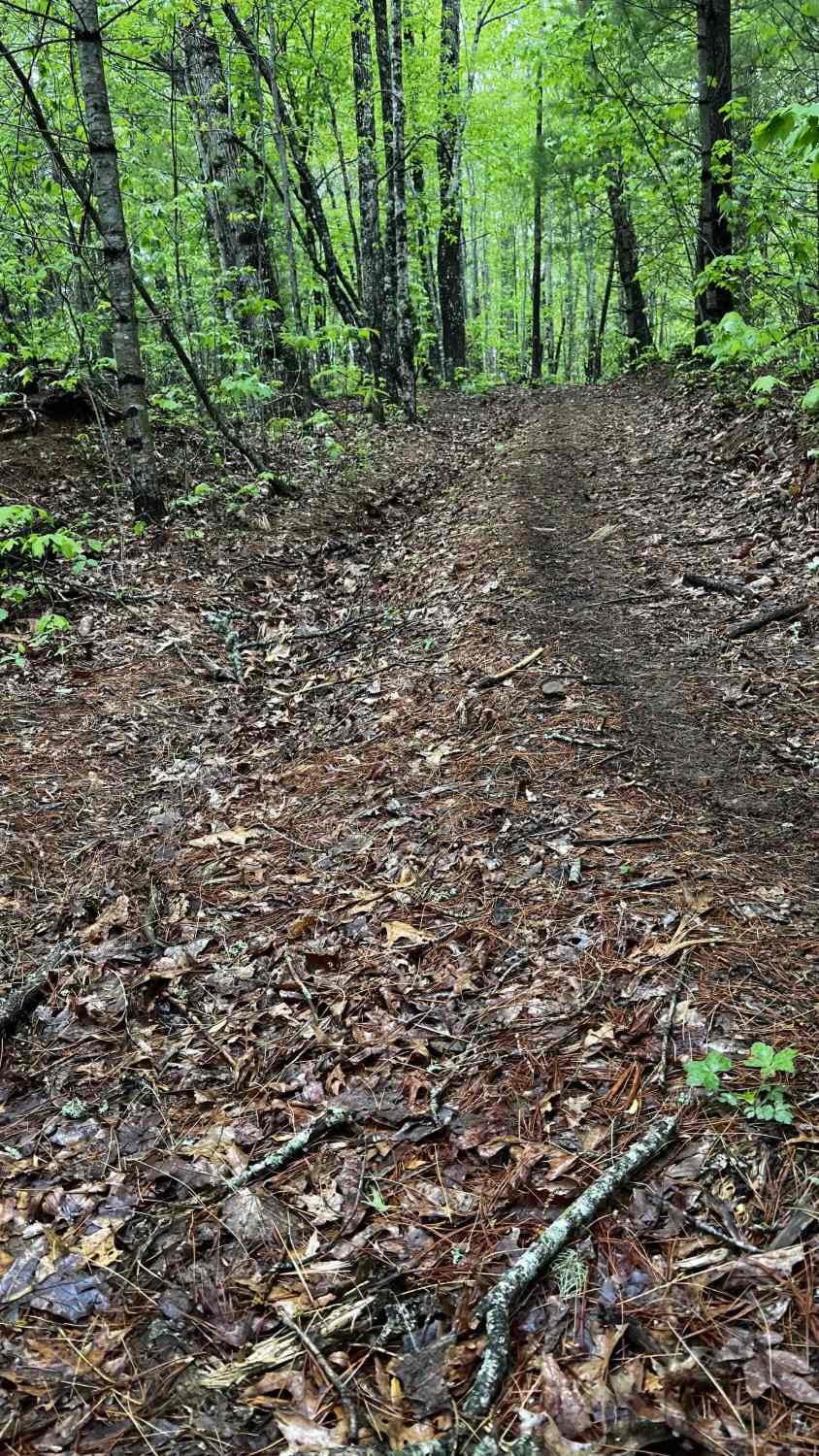
Flatlands FS Road 637
Total Miles
1.5
Tech Rating
Easy
Best Time
Spring, Summer, Fall, Winter
Learn more about Flowing Well Road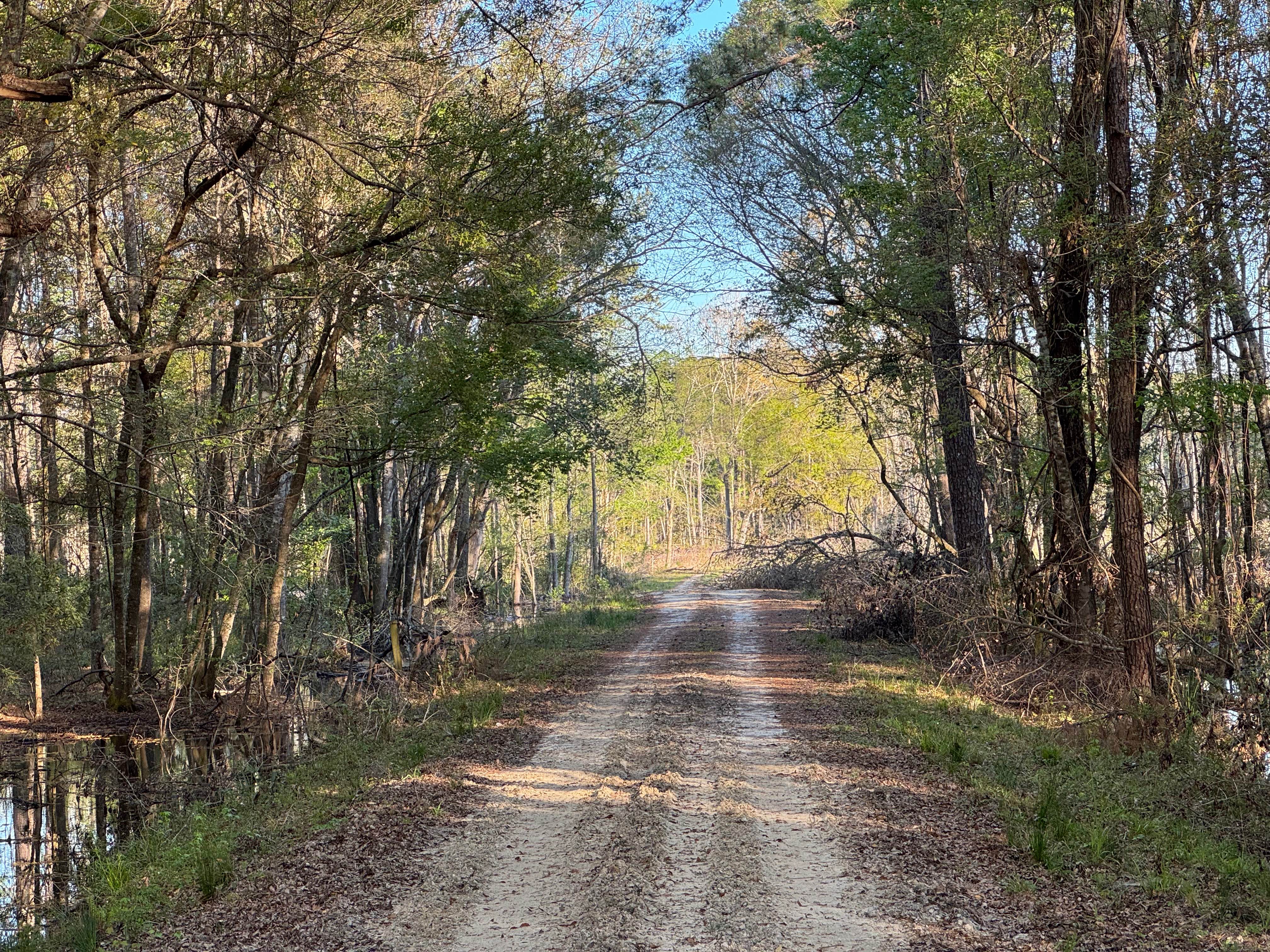
Flowing Well Road
Total Miles
1.8
Tech Rating
Easy
Best Time
Spring, Summer, Fall, Winter
Learn more about Fortenberry - FS 395
Fortenberry - FS 395
Total Miles
1.0
Tech Rating
Moderate
Best Time
Spring, Summer, Fall
Learn more about Foster Branch Road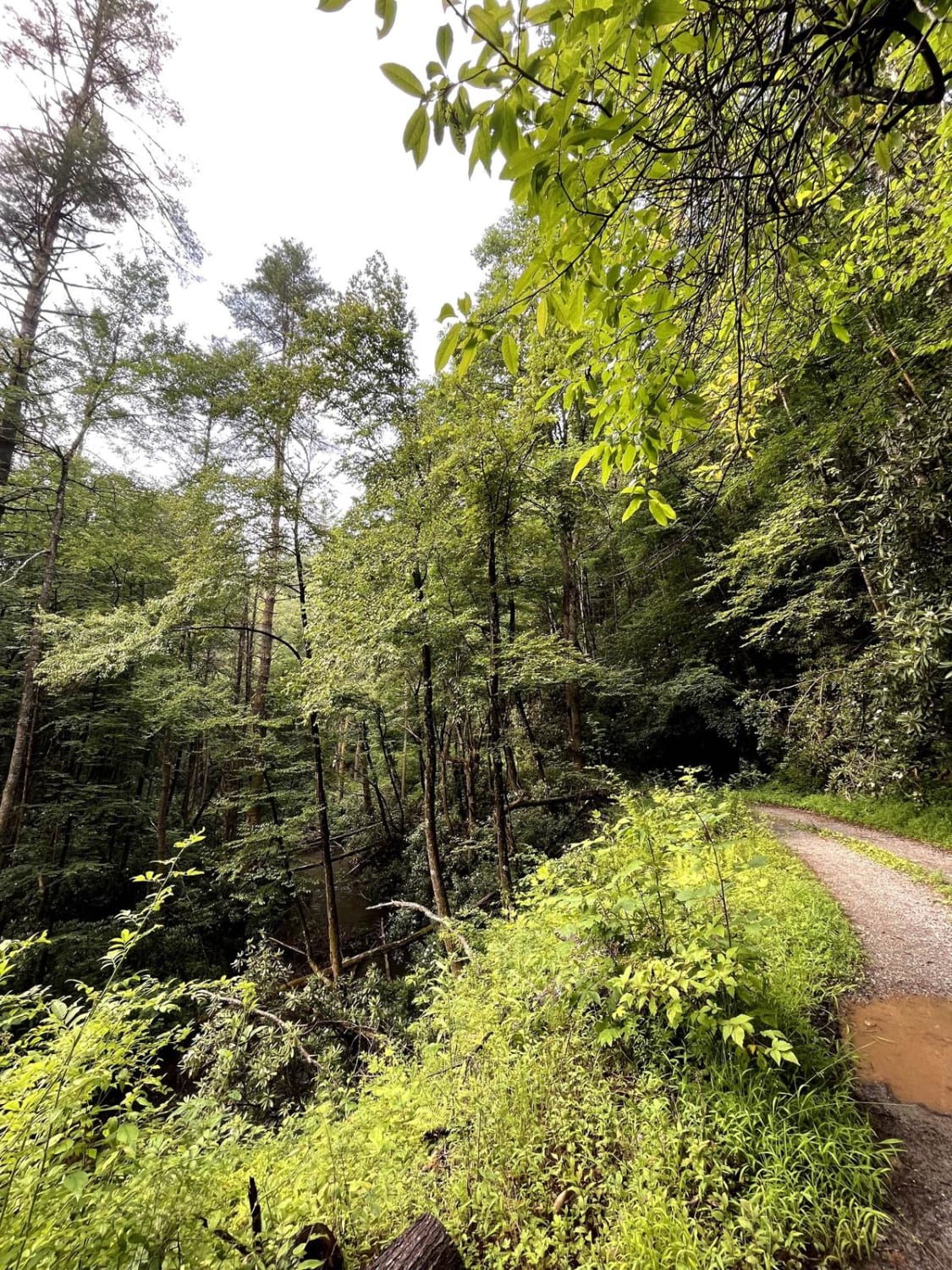
Foster Branch Road
Total Miles
2.0
Tech Rating
Easy
Best Time
Spring, Summer, Fall, Winter
Learn more about FR 159 - Derby Shire Lane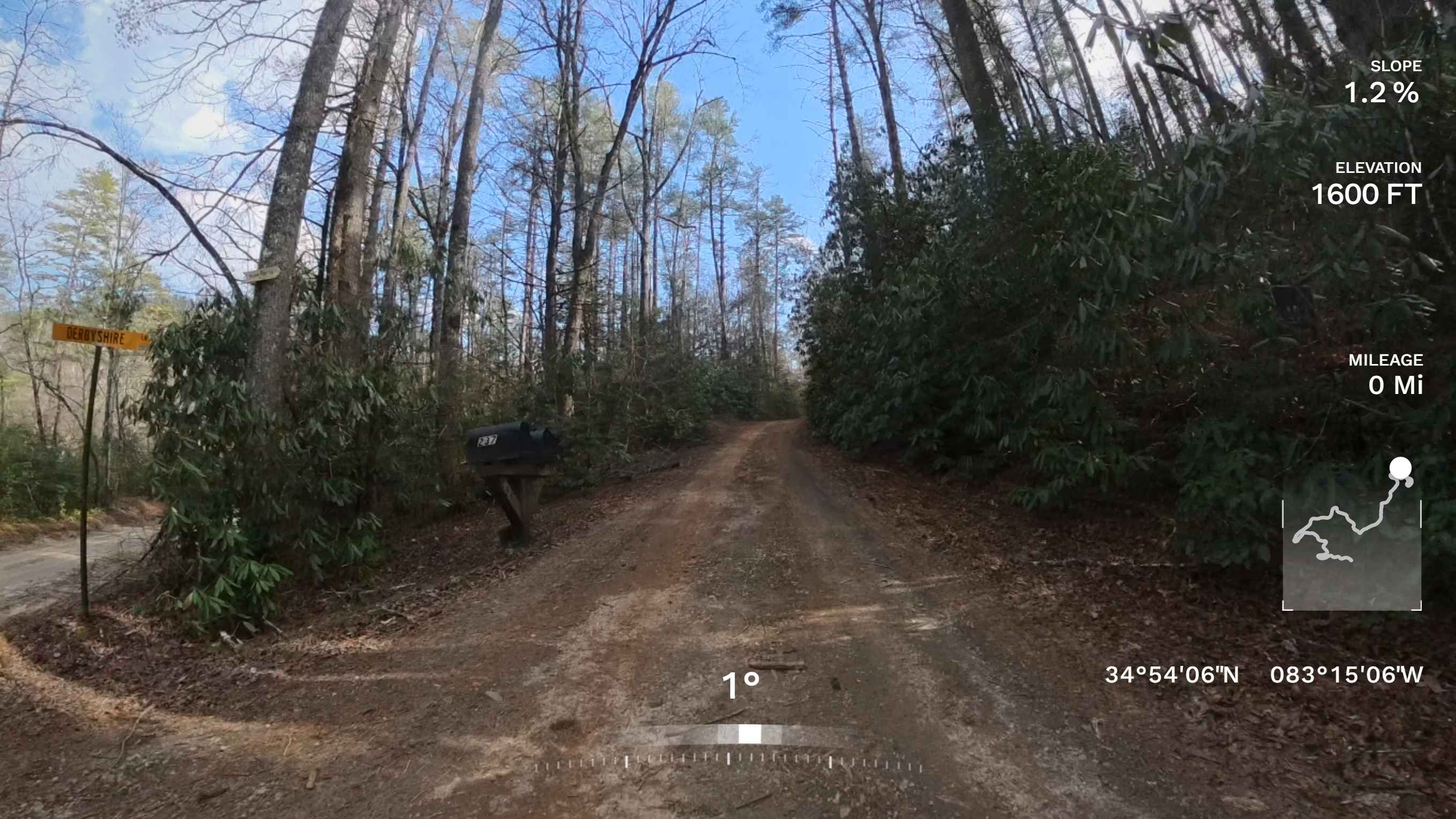
FR 159 - Derby Shire Lane
Total Miles
2.6
Tech Rating
Easy
Best Time
Spring, Summer, Fall, Winter
Learn more about Frog Pond Road
Frog Pond Road
Total Miles
1.6
Tech Rating
Easy
Best Time
Spring, Summer, Fall, Winter
Learn more about FS 83 (Bull Mountain Rd.)
FS 83 (Bull Mountain Rd.)
Total Miles
1.6
Tech Rating
Easy
Best Time
Summer, Fall, Spring
Learn more about FS-44A Upper Low Gap Creek
FS-44A Upper Low Gap Creek
Total Miles
0.2
Tech Rating
Easy
Best Time
Spring, Summer, Fall
ATV trails in Georgia


Learn more about 181-B-O connector Unlabeled
181-B-O connector Unlabeled
Total Miles
0.0
Tech Rating
Easy
Best Time
Spring, Summer, Fall
UTV/side-by-side trails in Georgia
Learn more about 3 - Peeples Lake
3 - Peeples Lake
Total Miles
3.5
Tech Rating
Easy
Best Time
Spring, Summer, Fall
Learn more about 631- Tatum Lead
631- Tatum Lead
Total Miles
7.4
Tech Rating
Easy
Best Time
Spring, Summer, Fall
Learn more about Alexander Hollow Trail
Alexander Hollow Trail
Total Miles
1.5
Tech Rating
Easy
Best Time
Spring, Summer, Fall, Winter
Learn more about Alexander Ridge Trail
Alexander Ridge Trail
Total Miles
3.9
Tech Rating
Easy
Best Time
Spring, Summer, Fall, Winter
The onX Offroad Difference
onX Offroad combines trail photos, descriptions, difficulty ratings, width restrictions, seasonality, and more in a user-friendly interface. Available on all devices, with offline access and full compatibility with CarPlay and Android Auto. Discover what you’re missing today!