Off-Road Trails in Georgia
Discover off-road trails in Georgia
Learn more about Keown Falls - FS 702
Keown Falls - FS 702
Total Miles
0.6
Tech Rating
Easy
Best Time
Spring, Summer, Fall, Winter
Learn more about Knight Creek - FS 264A
Knight Creek - FS 264A
Total Miles
2.1
Tech Rating
Easy
Best Time
Spring, Summer, Fall, Winter
Learn more about Lacky Knob - FS-630C
Lacky Knob - FS-630C
Total Miles
3.2
Tech Rating
Easy
Best Time
Spring, Summer, Fall
Learn more about Lake Lane
Lake Lane
Total Miles
1.8
Tech Rating
Easy
Best Time
Spring, Summer, Fall, Winter
Learn more about Lane Cemetery Trail
Lane Cemetery Trail
Total Miles
9.2
Tech Rating
Moderate
Best Time
Spring, Summer, Fall, Winter
Learn more about Lee Mountain Road - FS 181
Lee Mountain Road - FS 181
Total Miles
6.9
Tech Rating
Easy
Best Time
Fall, Winter
Learn more about Lick Log Creek
Lick Log Creek
Total Miles
4.6
Tech Rating
Easy
Best Time
Spring, Summer, Fall, Winter
Learn more about Lily Road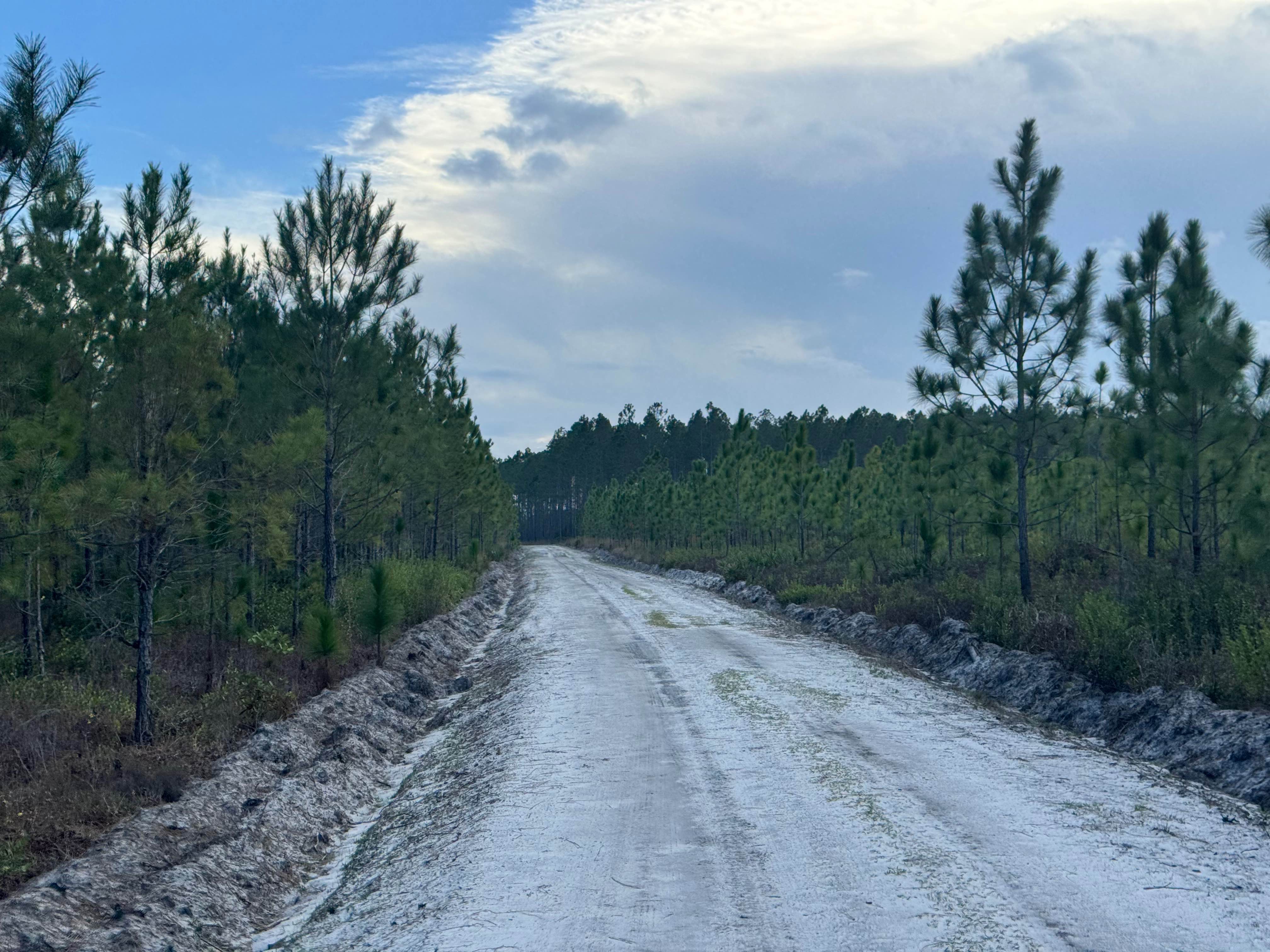
Lily Road
Total Miles
1.2
Tech Rating
Easy
Best Time
Spring, Summer, Fall, Winter
Learn more about Lion Lane
Lion Lane
Total Miles
1.2
Tech Rating
Easy
Best Time
Spring, Summer, Fall, Winter
Learn more about Little Rock Creek - FS 249
Little Rock Creek - FS 249
Total Miles
4.3
Tech Rating
Easy
Best Time
Spring, Summer, Fall, Winter
Learn more about Little Rock Wildlife Drive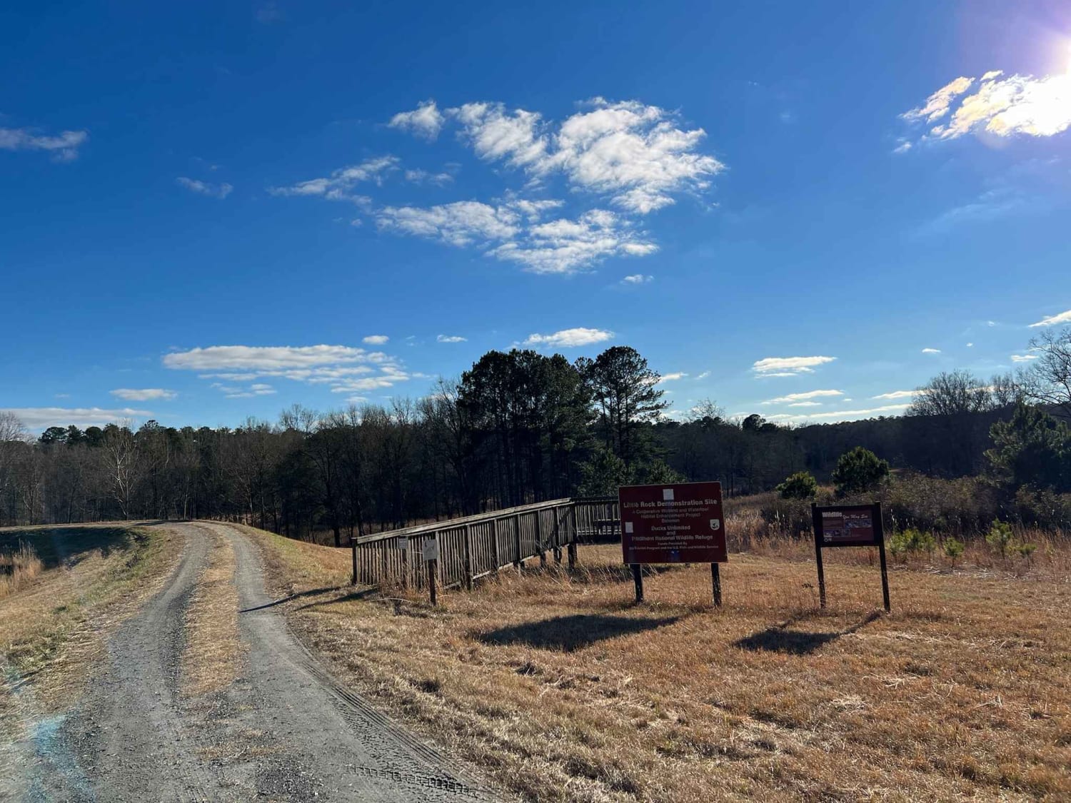
Little Rock Wildlife Drive
Total Miles
4.7
Tech Rating
Easy
Best Time
Fall, Summer, Spring
Learn more about Locust Stake Moon Walk - 148F
Locust Stake Moon Walk - 148F
Total Miles
1.6
Tech Rating
Moderate
Best Time
Spring
Learn more about Locust Stake Ranger Run - 148
Locust Stake Ranger Run - 148
Total Miles
1.0
Tech Rating
Easy
Best Time
Spring
Learn more about Locust Stake Road
Locust Stake Road
Total Miles
2.1
Tech Rating
Easy
Best Time
Spring, Summer, Fall, Winter
Learn more about Logging Road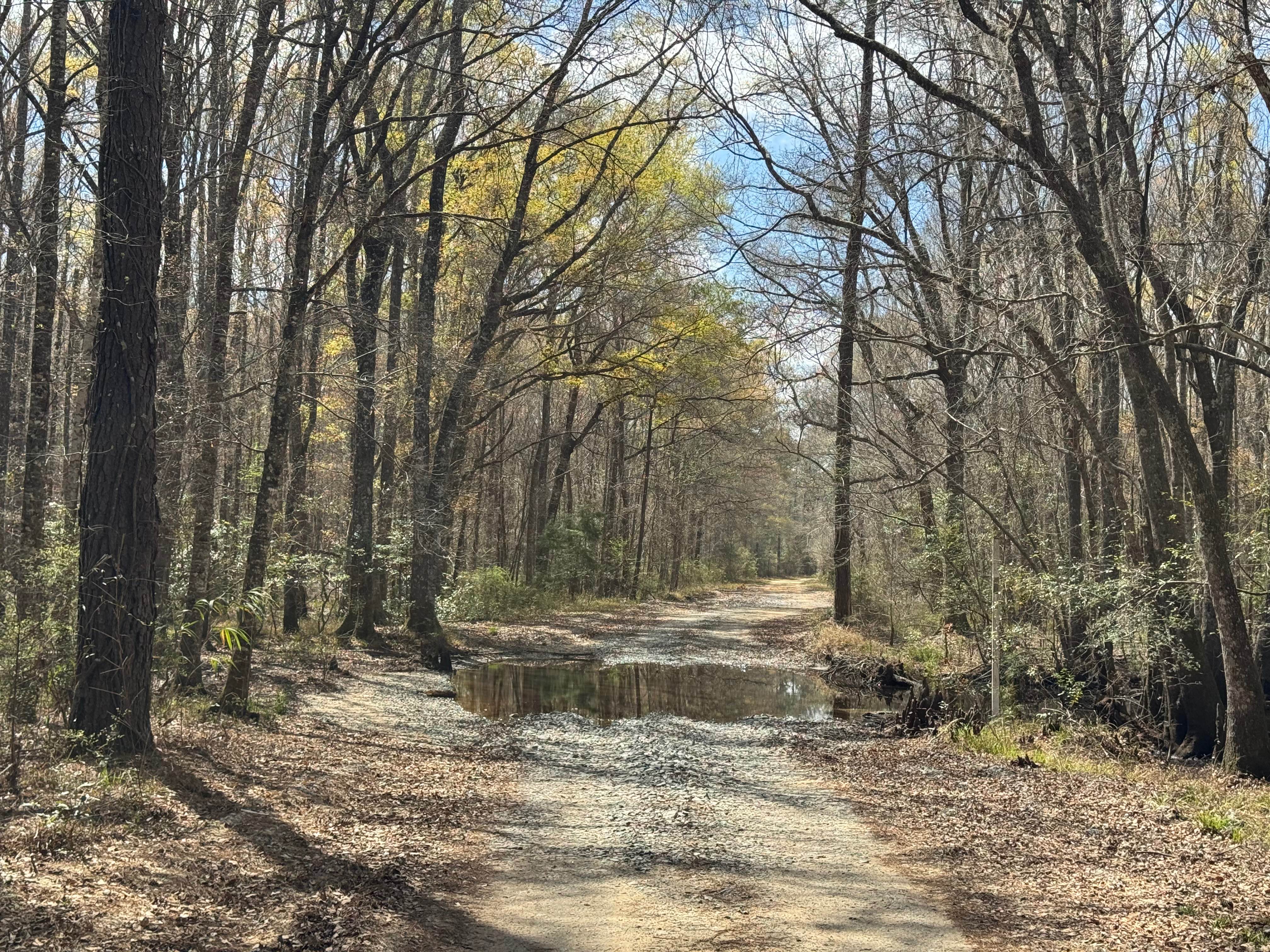
Logging Road
Total Miles
2.9
Tech Rating
Easy
Best Time
Spring, Summer, Fall, Winter
Learn more about Lomo Field Road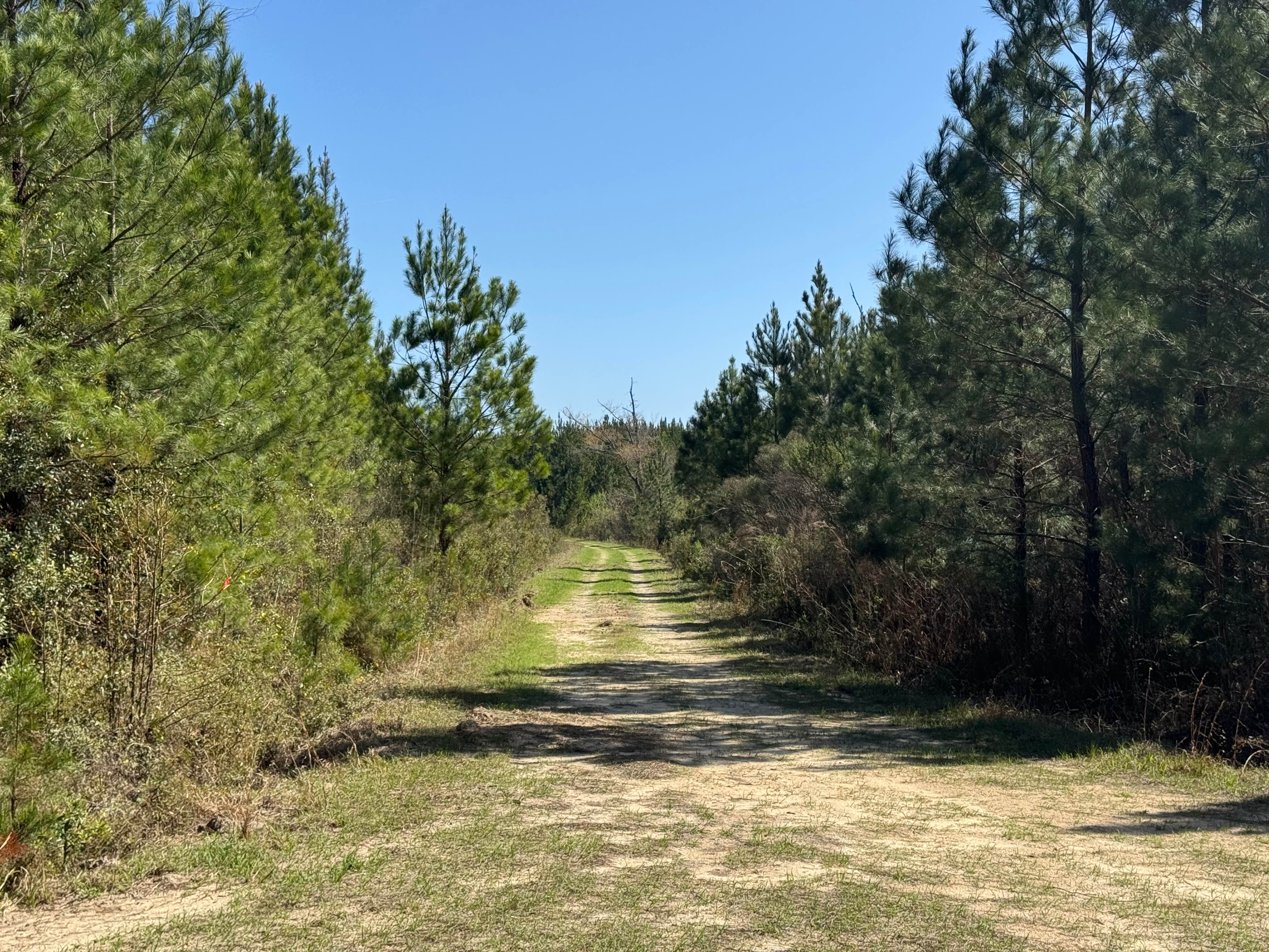
Lomo Field Road
Total Miles
1.9
Tech Rating
Easy
Best Time
Spring, Summer, Fall, Winter
Learn more about Long Creek Trail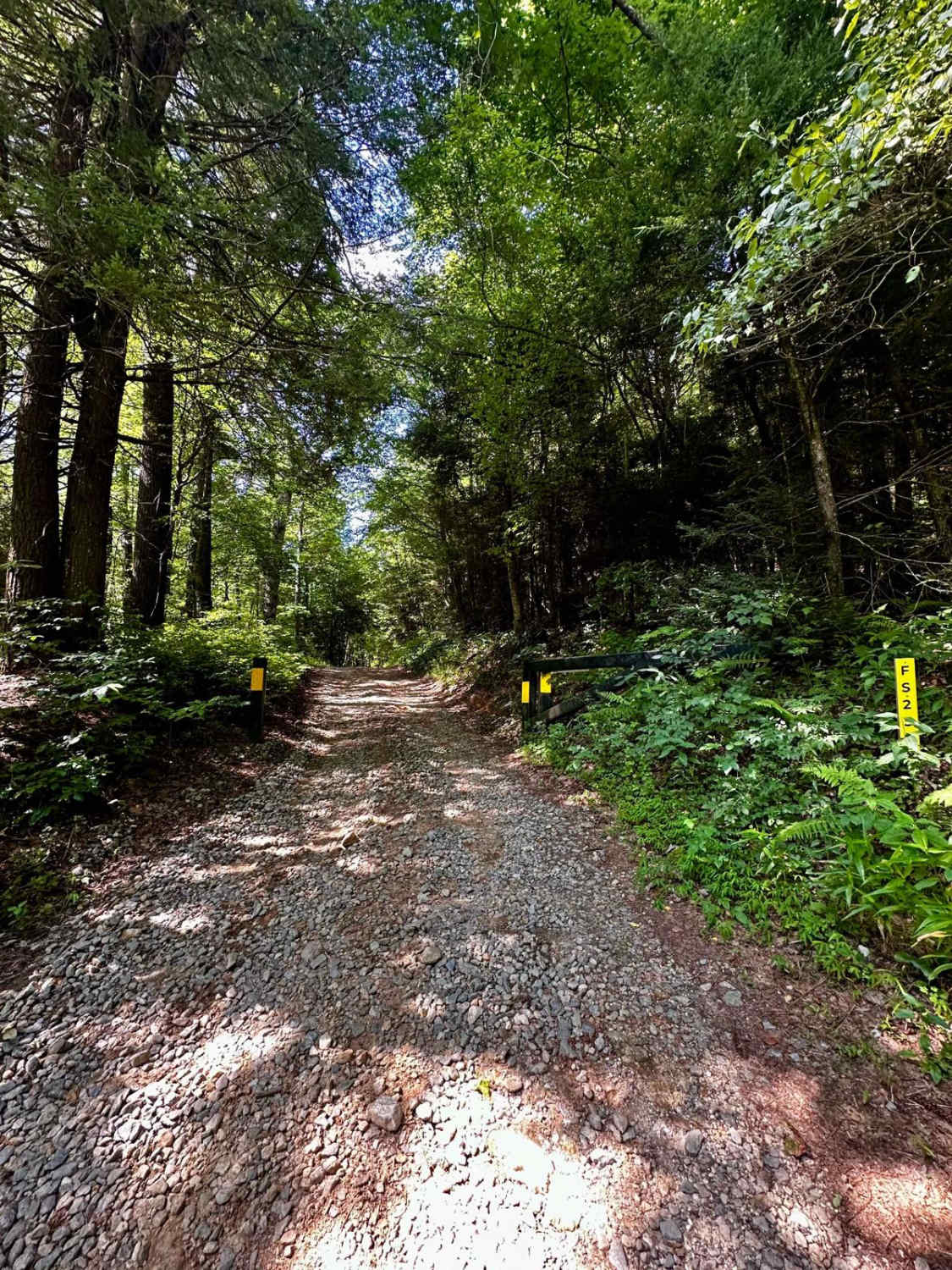
Long Creek Trail
Total Miles
5.5
Tech Rating
Easy
Best Time
Spring, Summer, Fall
Learn more about Lower Concord - FS 1017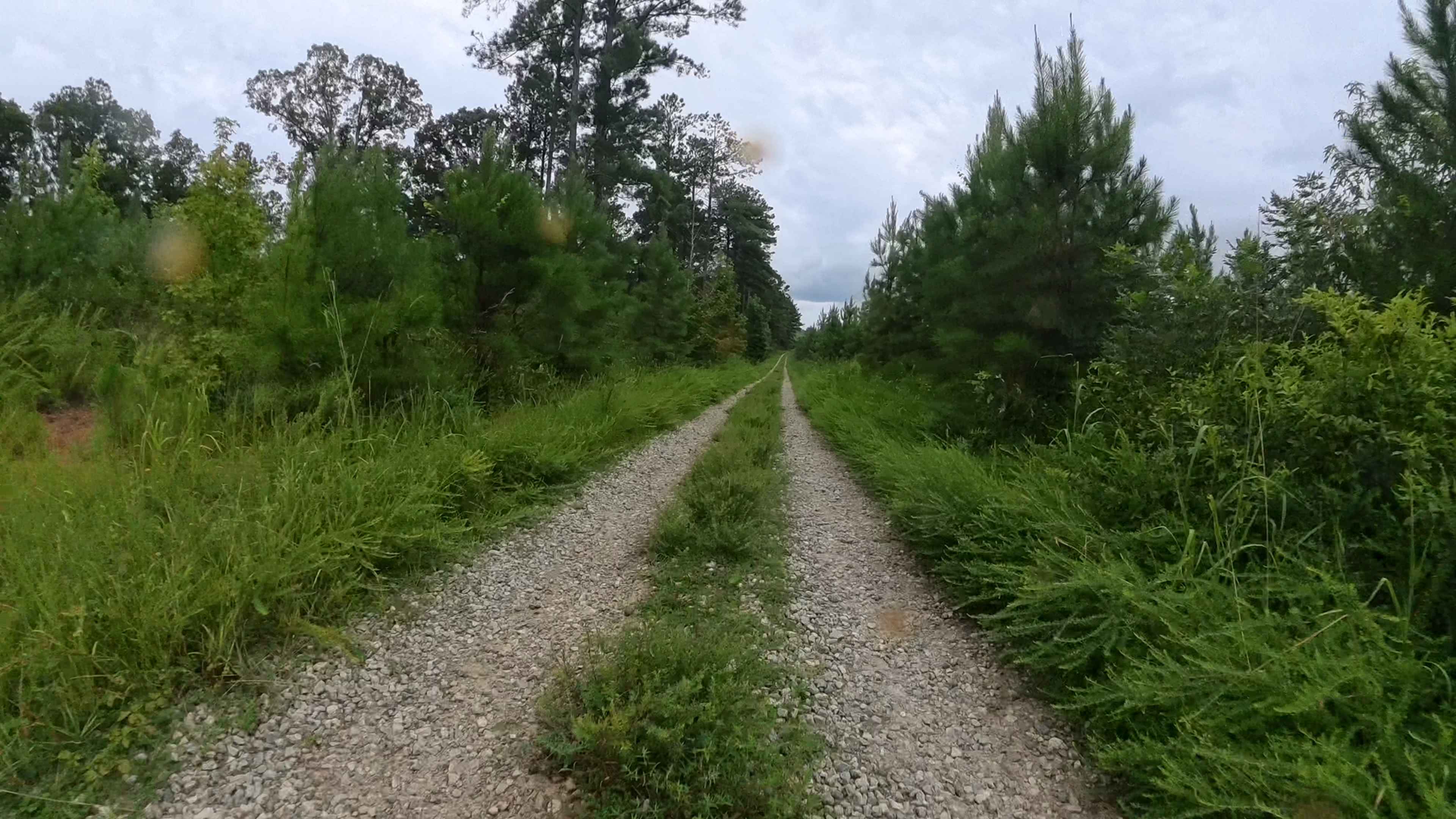
Lower Concord - FS 1017
Total Miles
1.4
Tech Rating
Easy
Best Time
Spring, Winter, Fall, Summer
Learn more about Lower Falling Creek - FS 1023
Lower Falling Creek - FS 1023
Total Miles
3.8
Tech Rating
Easy
Best Time
Spring, Summer, Fall, Winter
Learn more about Lower Frozen Branch - FS 69C
Lower Frozen Branch - FS 69C
Total Miles
5.8
Tech Rating
Easy
Best Time
Spring, Summer, Fall, Winter
ATV trails in Georgia


Learn more about 181-B-O connector Unlabeled
181-B-O connector Unlabeled
Total Miles
0.0
Tech Rating
Easy
Best Time
Spring, Summer, Fall
UTV/side-by-side trails in Georgia
Learn more about 3 - Peeples Lake
3 - Peeples Lake
Total Miles
3.5
Tech Rating
Easy
Best Time
Spring, Summer, Fall
Learn more about 631- Tatum Lead
631- Tatum Lead
Total Miles
7.4
Tech Rating
Easy
Best Time
Spring, Summer, Fall
Learn more about Alexander Hollow Trail
Alexander Hollow Trail
Total Miles
1.5
Tech Rating
Easy
Best Time
Spring, Summer, Fall, Winter
Learn more about Alexander Ridge Trail
Alexander Ridge Trail
Total Miles
3.9
Tech Rating
Easy
Best Time
Spring, Summer, Fall, Winter
The onX Offroad Difference
onX Offroad combines trail photos, descriptions, difficulty ratings, width restrictions, seasonality, and more in a user-friendly interface. Available on all devices, with offline access and full compatibility with CarPlay and Android Auto. Discover what you’re missing today!