Off-Road Trails in Georgia
Discover off-road trails in Georgia
Learn more about Murder Creek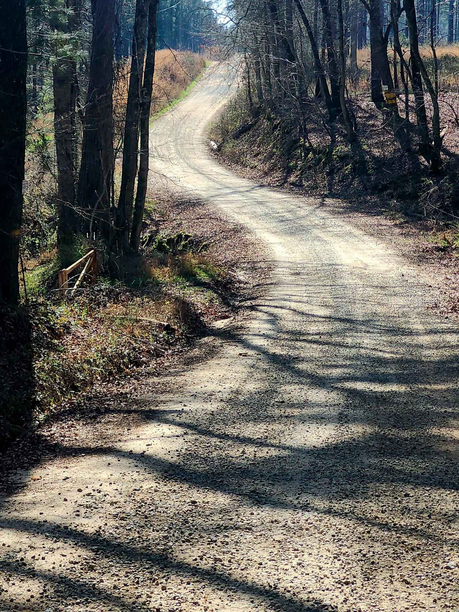
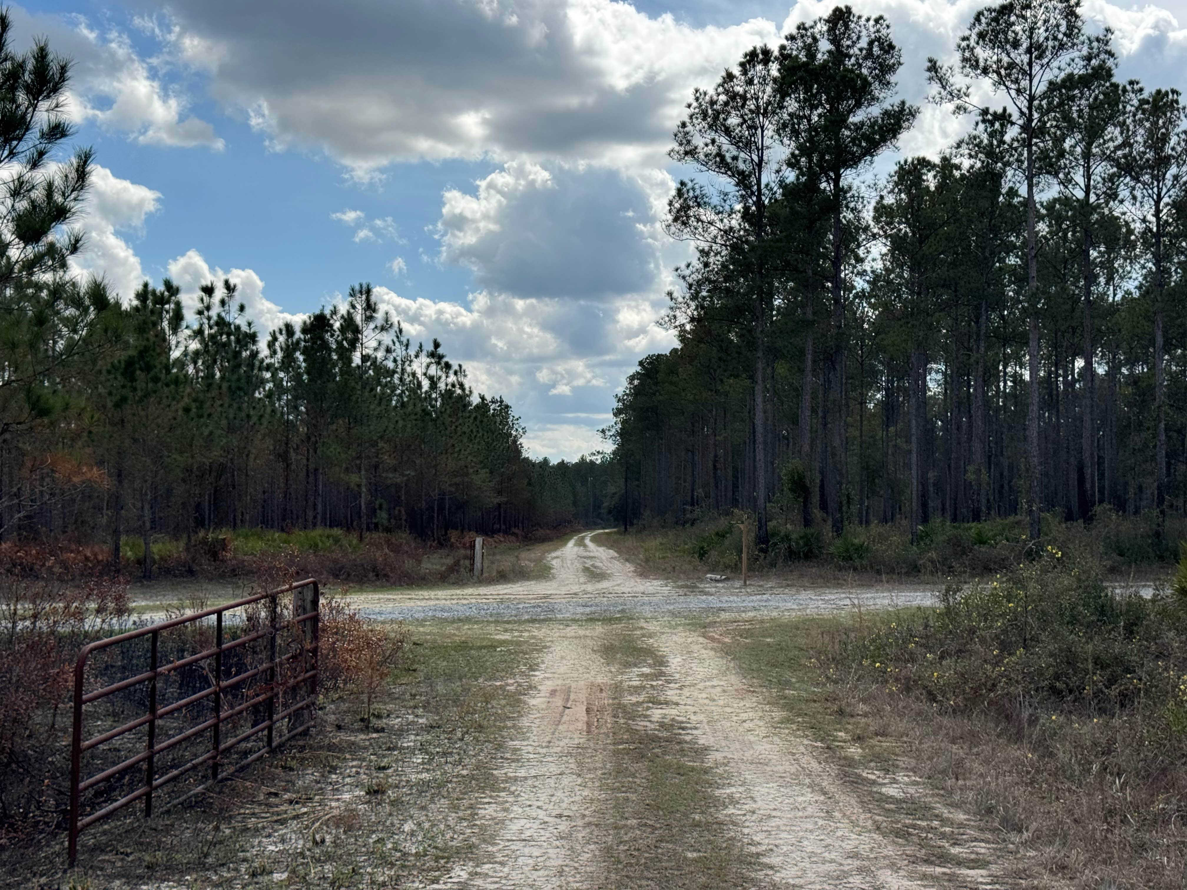
Murder Creek
Total Miles
3.1
Tech Rating
Easy
Best Time
Spring, Summer, Fall, Winter
Learn more about Murray's Lake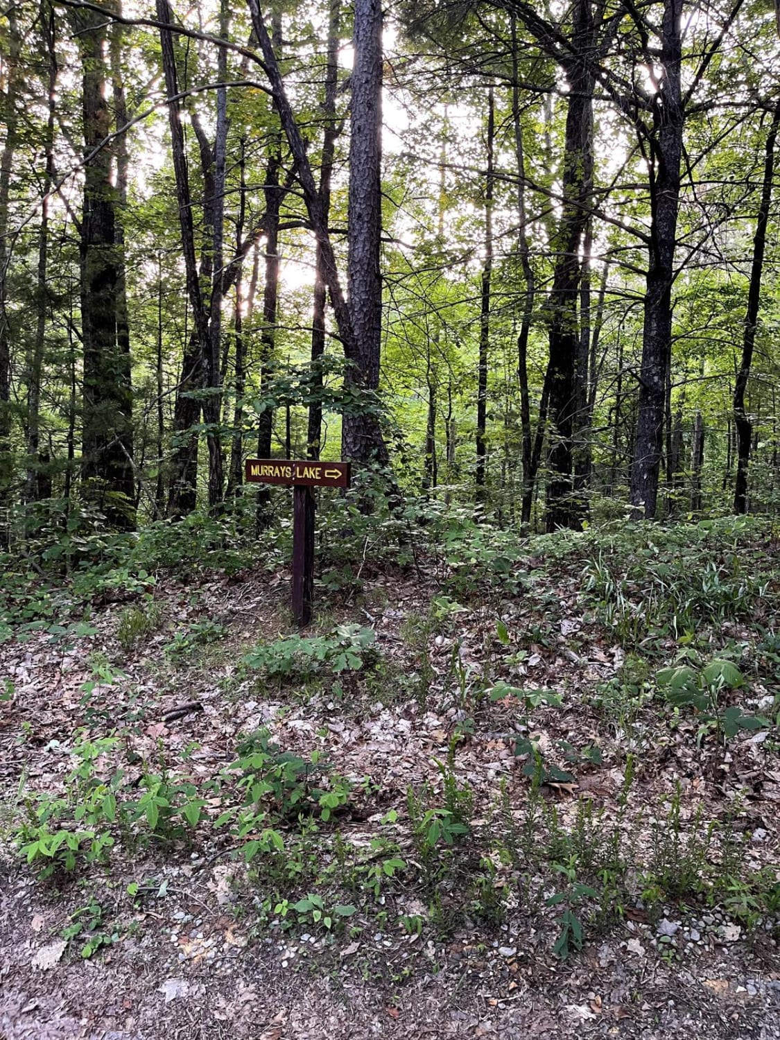
Murray's Lake
Total Miles
0.8
Tech Rating
Easy
Best Time
Spring, Summer, Fall, Winter
Learn more about Muskrat Creek
Muskrat Creek
Total Miles
4.9
Tech Rating
Easy
Best Time
Spring, Fall, Summer
Learn more about Natural Rock Crossing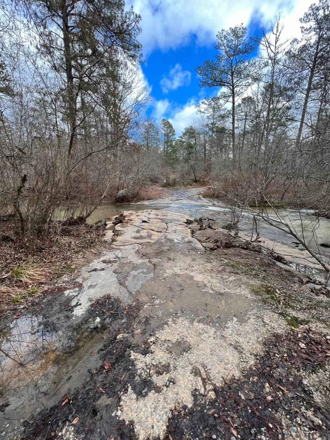
Natural Rock Crossing
Total Miles
2.2
Tech Rating
Easy
Best Time
Fall, Summer, Spring, Winter

Learn more about Nimblewill Branch 1
Nimblewill Branch 1
Total Miles
4.6
Tech Rating
Easy
Best Time
Spring, Fall, Summer, Winter
Learn more about Nimblewill Road
Nimblewill Road
Total Miles
7.8
Tech Rating
Moderate
Best Time
Spring, Summer, Fall, Winter
Learn more about Noontootla
Noontootla
Total Miles
8.1
Tech Rating
Easy
Best Time
Spring, Summer, Fall, Winter
Learn more about Oak Grove Methodist Church
Oak Grove Methodist Church
Total Miles
1.0
Tech Rating
Easy
Best Time
Spring, Summer, Fall, Winter
Learn more about Oakey Mountain OHV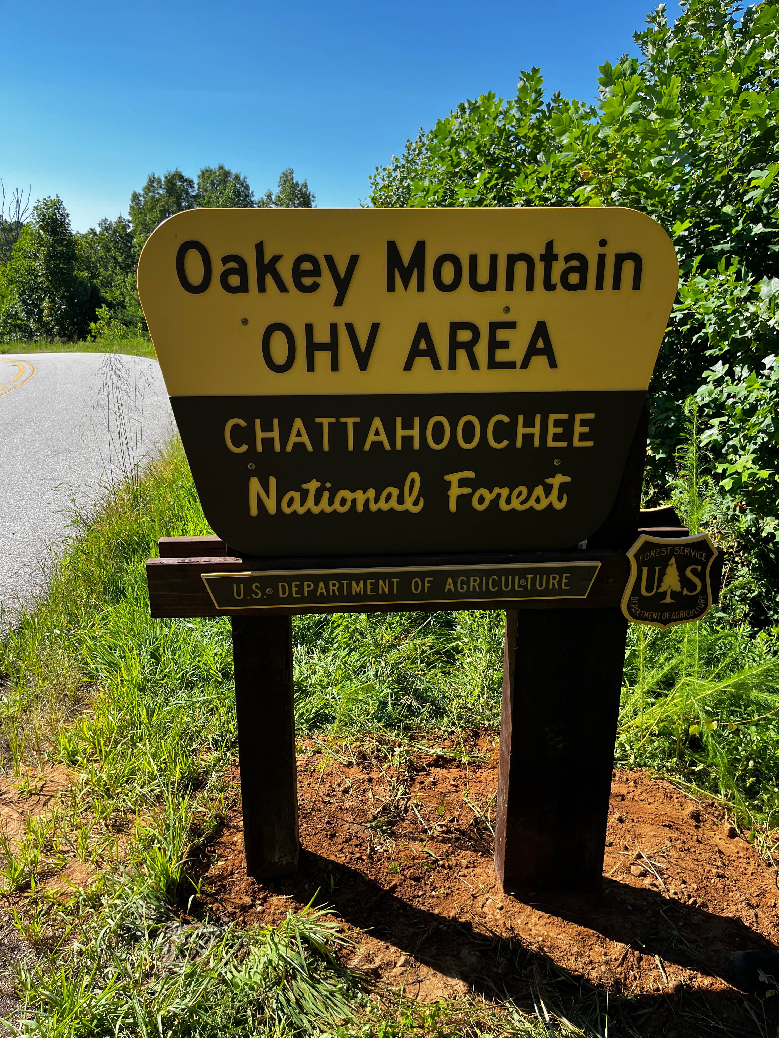
Oakey Mountain OHV
Total Miles
6.1
Tech Rating
Extreme
Best Time
Fall, Spring, Summer
Learn more about Ocmulgee Camp Loop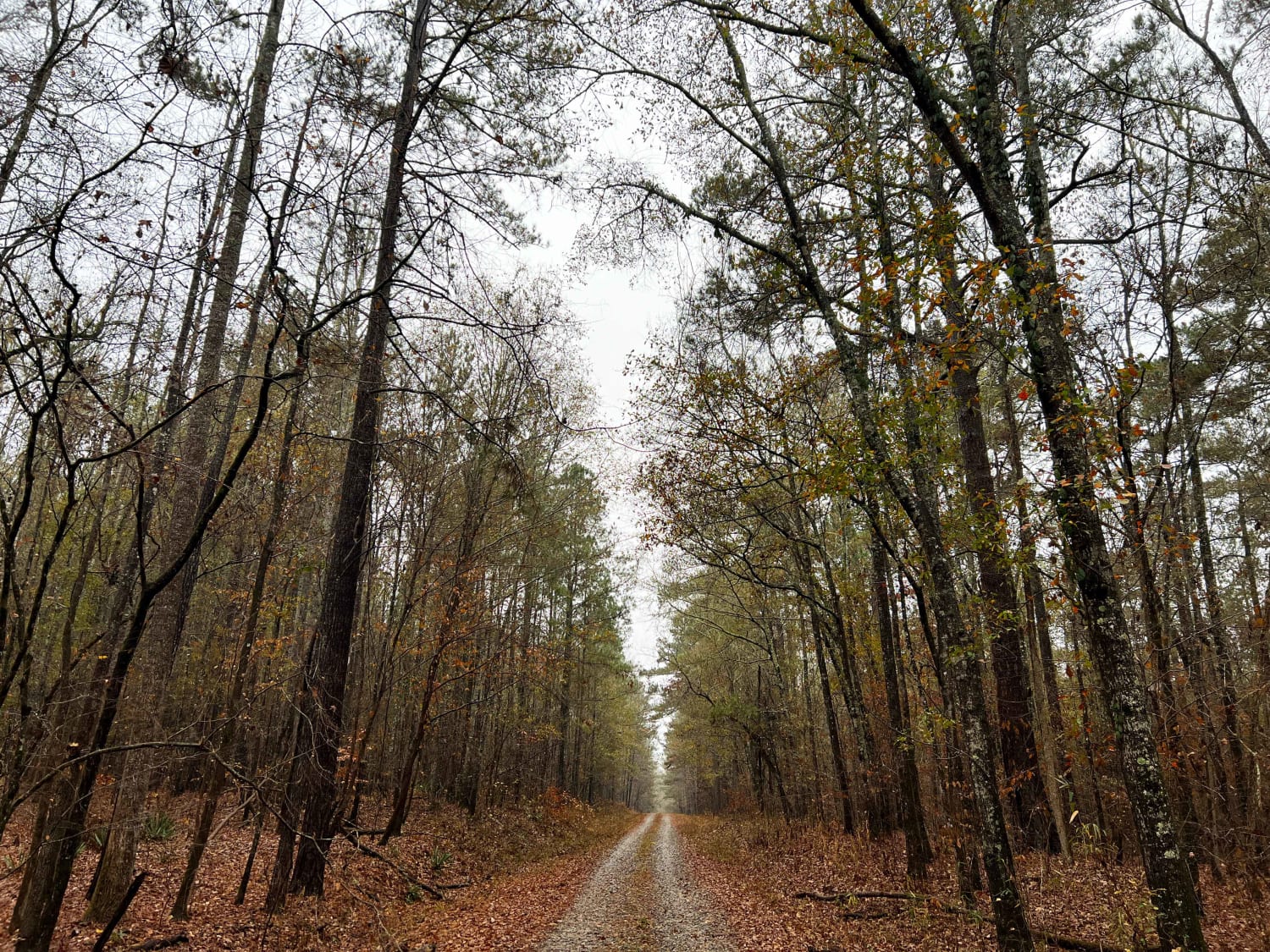
Ocmulgee Camp Loop
Total Miles
3.3
Tech Rating
Easy
Best Time
Spring, Summer, Fall, Winter
Learn more about Oconee Southern Traverse - 1068 (Segment 2)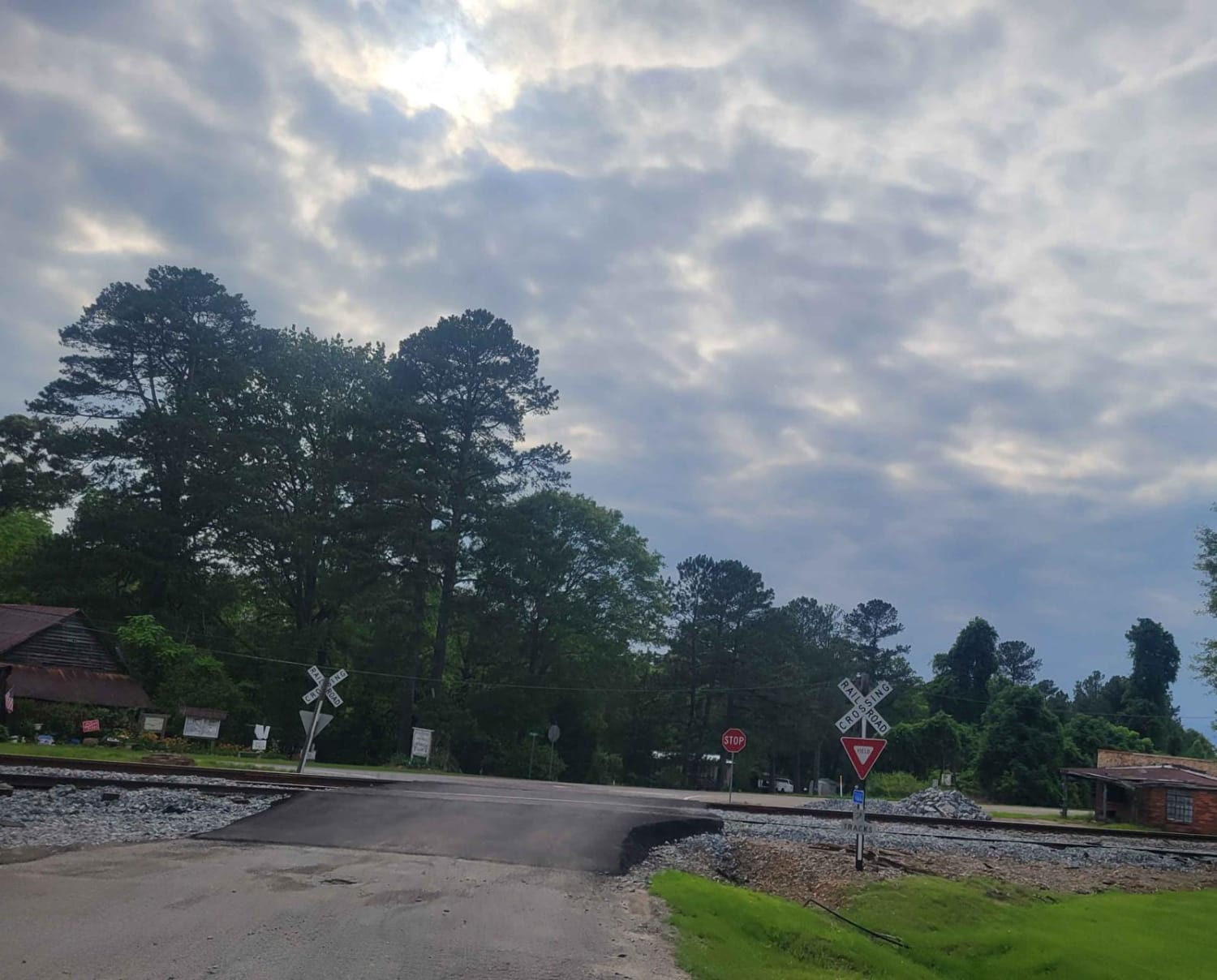
Oconee Southern Traverse - 1068 (Segment 2)
Total Miles
4.2
Tech Rating
Easy
Best Time
Spring, Summer, Fall, Winter
Learn more about Oconee Southern Traverse (Segment 1)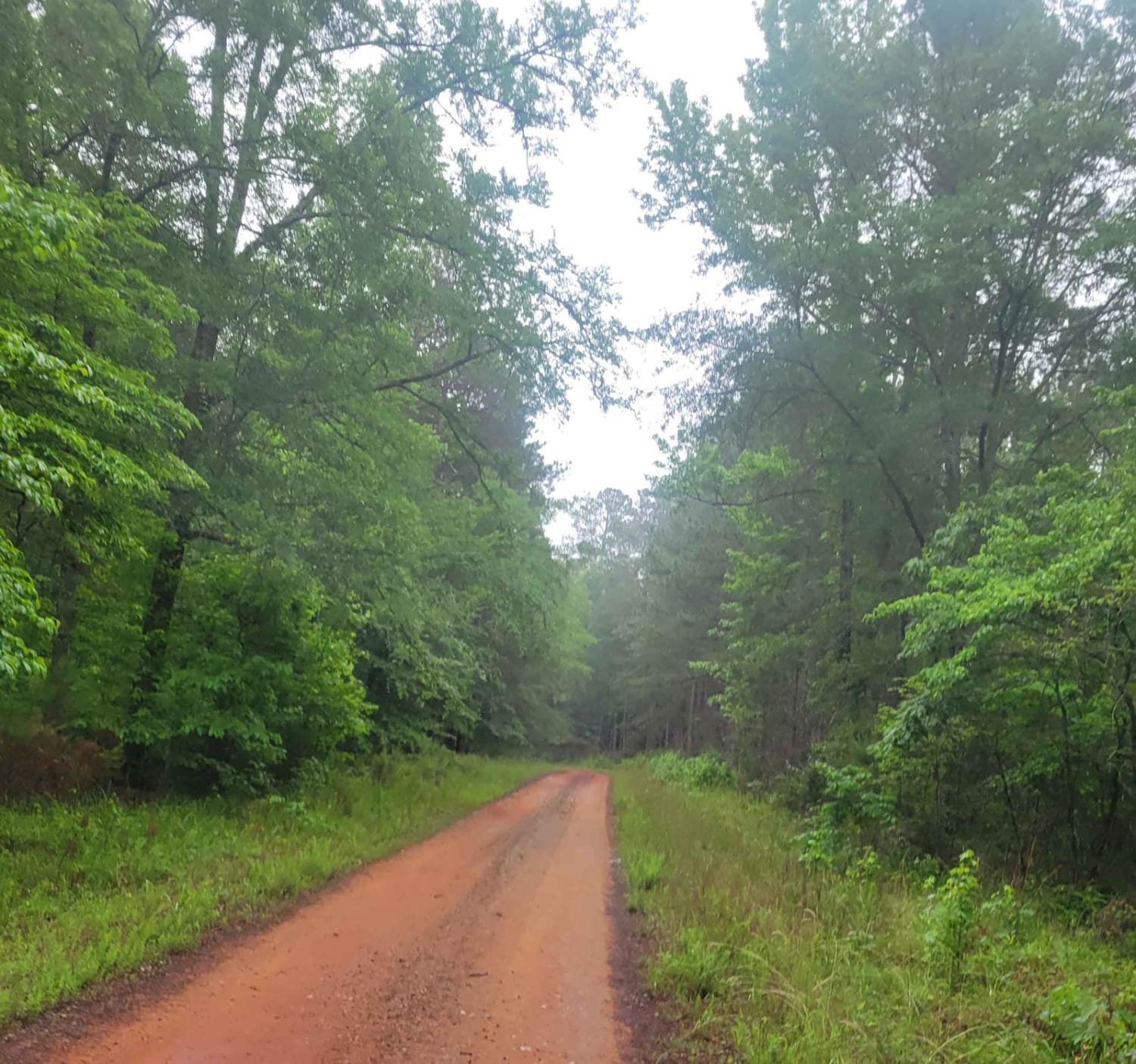
Oconee Southern Traverse (Segment 1)
Total Miles
8.0
Tech Rating
Easy
Best Time
Spring, Summer, Fall, Winter
Learn more about Oconee Southern Traverse (Segment 3)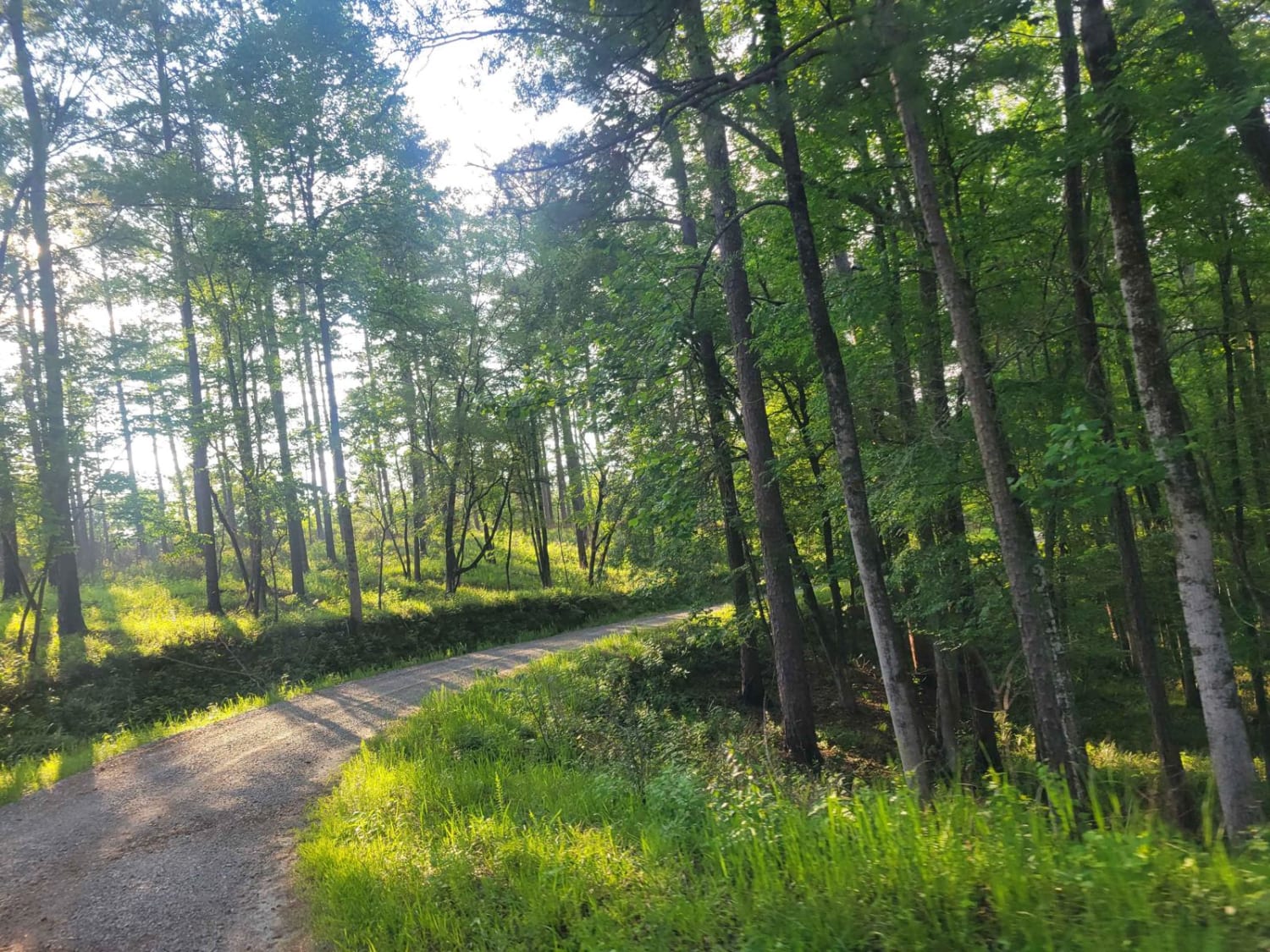
Oconee Southern Traverse (Segment 3)
Total Miles
9.6
Tech Rating
Easy
Best Time
Spring, Summer, Fall, Winter
Learn more about Oconee Starr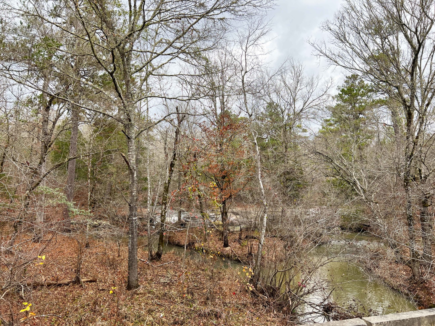
Oconee Starr
Total Miles
8.0
Tech Rating
Easy
Best Time
Spring, Summer, Fall, Winter
Learn more about Old CCC Camp Road
Old CCC Camp Road
Total Miles
9.8
Tech Rating
Easy
Best Time
Spring, Summer, Fall, Winter
Learn more about Old Spring Box Loop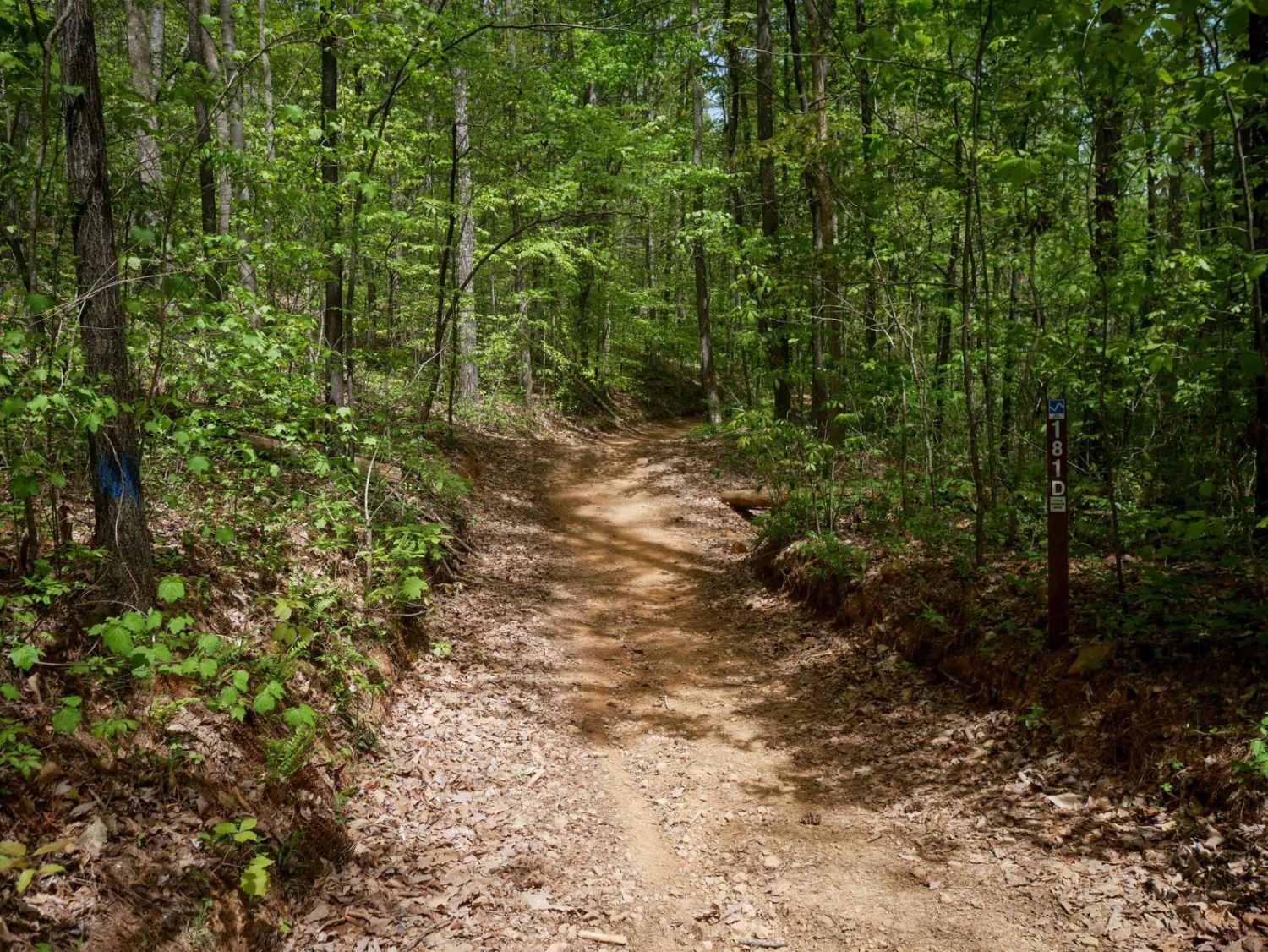
Old Spring Box Loop
Total Miles
0.6
Tech Rating
Easy
Best Time
Spring, Fall, Summer
Learn more about Ole Hell Road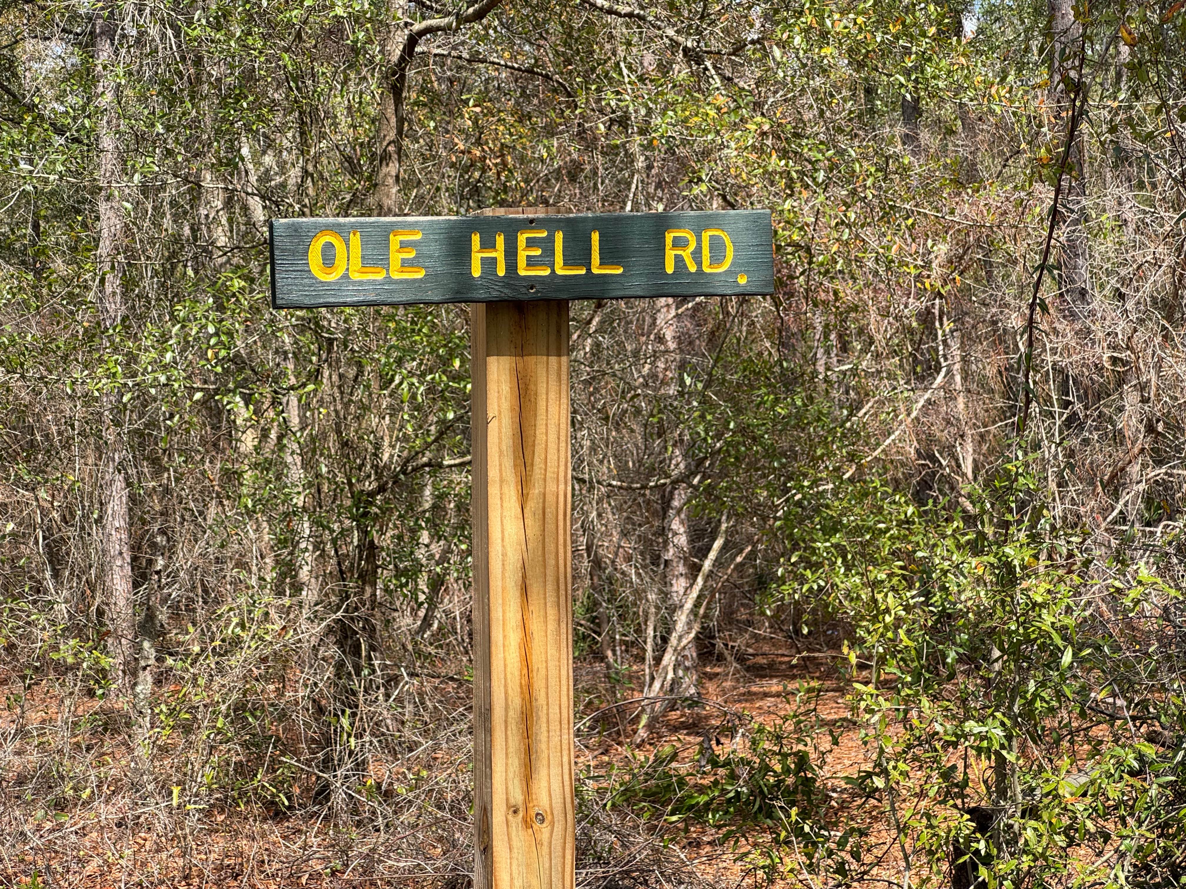
Ole Hell Road
Total Miles
1.4
Tech Rating
Easy
Best Time
Spring, Summer, Fall, Winter
ATV trails in Georgia


Learn more about 181-B-O connector Unlabeled
181-B-O connector Unlabeled
Total Miles
0.0
Tech Rating
Easy
Best Time
Spring, Summer, Fall
UTV/side-by-side trails in Georgia
Learn more about 3 - Peeples Lake
3 - Peeples Lake
Total Miles
3.5
Tech Rating
Easy
Best Time
Spring, Summer, Fall
Learn more about 631- Tatum Lead
631- Tatum Lead
Total Miles
7.4
Tech Rating
Easy
Best Time
Spring, Summer, Fall
Learn more about Alexander Hollow Trail
Alexander Hollow Trail
Total Miles
1.5
Tech Rating
Easy
Best Time
Spring, Summer, Fall, Winter
Learn more about Alexander Ridge Trail
Alexander Ridge Trail
Total Miles
3.9
Tech Rating
Easy
Best Time
Spring, Summer, Fall, Winter
The onX Offroad Difference
onX Offroad combines trail photos, descriptions, difficulty ratings, width restrictions, seasonality, and more in a user-friendly interface. Available on all devices, with offline access and full compatibility with CarPlay and Android Auto. Discover what you’re missing today!