Alexander Ridge Trail
Total Miles
3.9
Technical Rating
Best Time
Spring, Summer, Fall, Winter
Trail Type
Full-Width Road
Accessible By
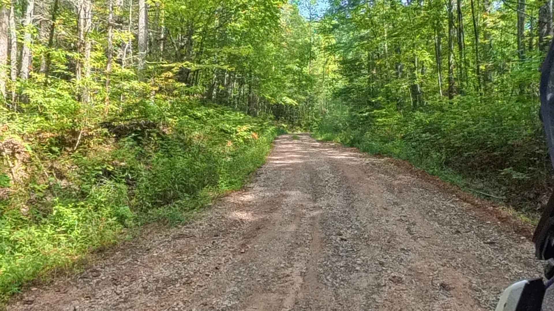
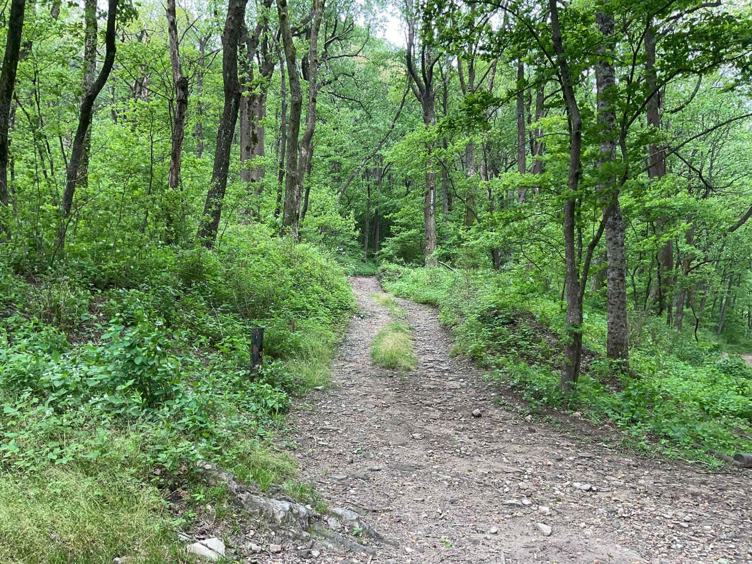
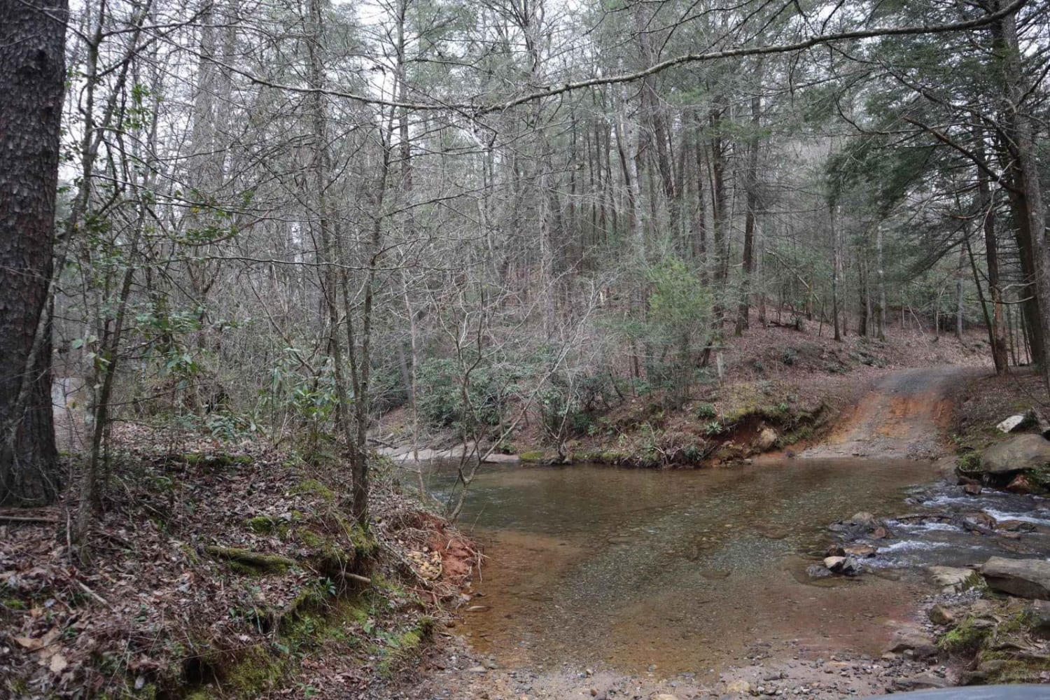
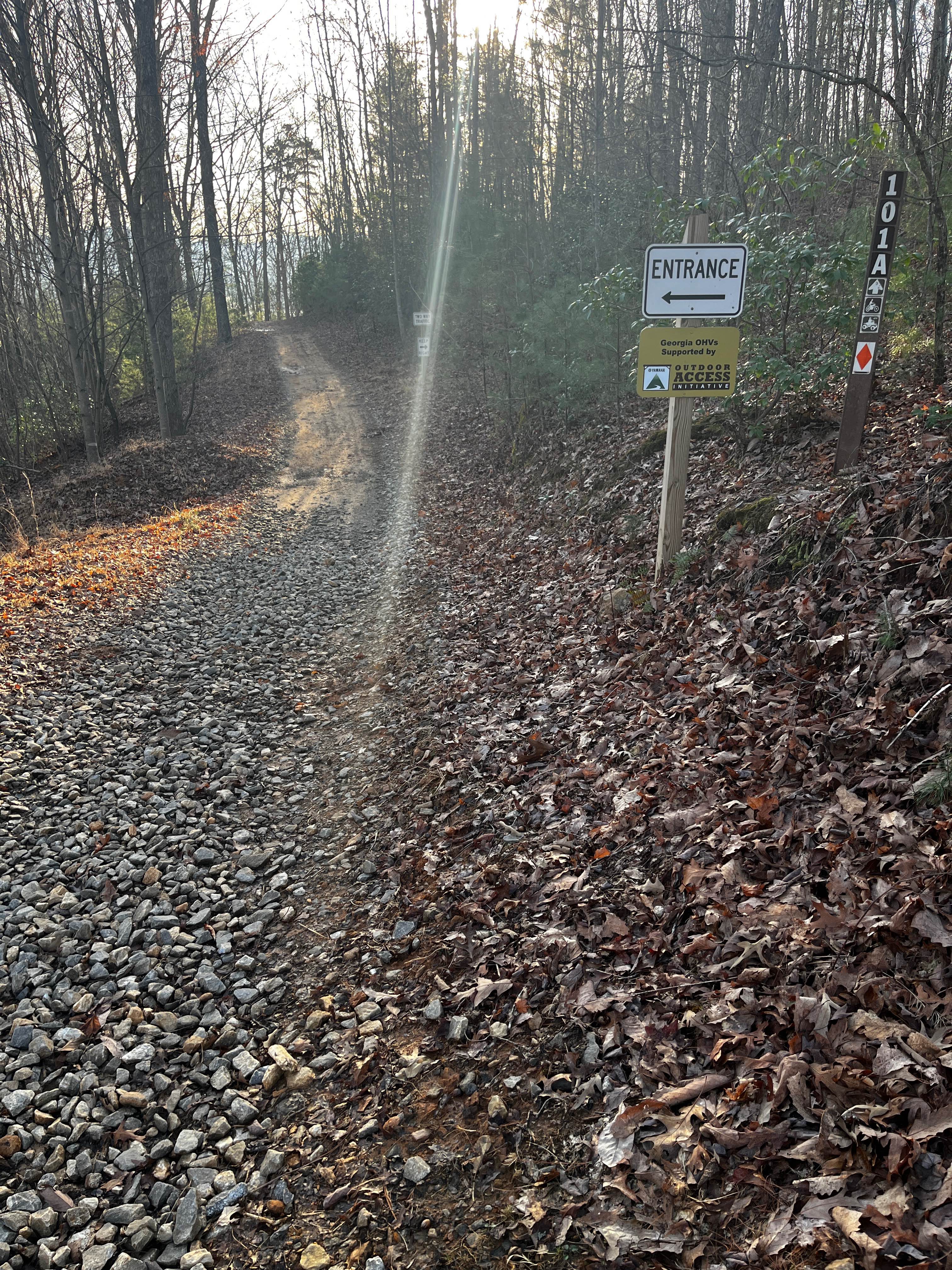
Trail Overview
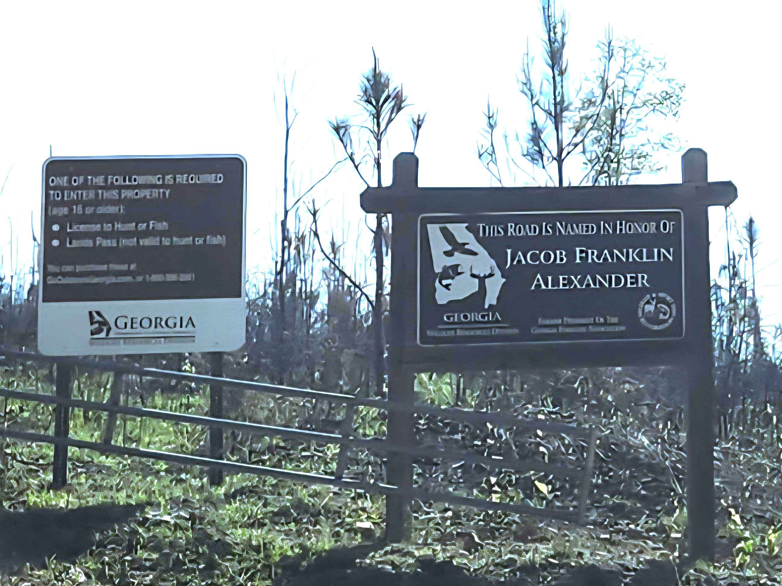
This mostly gravel with packed dirt single trail winds 4.4 miles in-and-back through Sprewell Bluff WMA across rolling ridges and foothills near the Flint River. Expect steep climbs, sharp descents, ruts, wash-outs, and loose rocky terrain. Scenic vistas reward the effort, with the landscape changing with each season for migratory birds, blooming rhododendron, trail-side native blackberry bushes, and vibrant fall foliage. Various Spurs lead to hunting zones (one being handicap access only) and to 2 separate trail campsites. Appropriate permits, high clearance, and occasional 4WD are required.
Photos of Alexander Ridge Trail
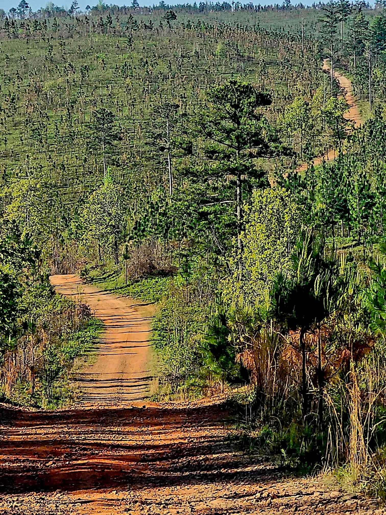
Difficulty
Several steep grades throughout, with several rutted and washed out areas, some rock gardens, and loose rock can make inclines and declines treacherous depending on weather conditions.
Status Reports
Alexander Ridge Trail can be accessed by the following ride types:
- High-Clearance 4x4
- SUV
- SxS (60")
- ATV (50")
- Dirt Bike
Alexander Ridge Trail Map
Popular Trails
Chester Knob Upper Trail
Amicalola Creek - FS 46
Boggs Creek
Davenport Mountain OHV Trails
The onX Offroad Difference
onX Offroad combines trail photos, descriptions, difficulty ratings, width restrictions, seasonality, and more in a user-friendly interface. Available on all devices, with offline access and full compatibility with CarPlay and Android Auto. Discover what you’re missing today!