Off-Road Trails in Georgia
Discover off-road trails in Georgia
Learn more about FS-68 Lake Conasauga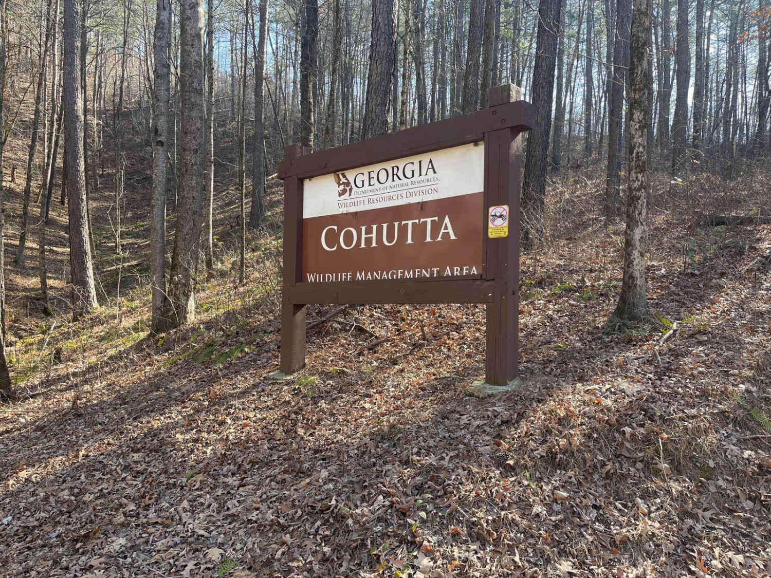
FS-68 Lake Conasauga
Total Miles
1.9
Tech Rating
Easy
Best Time
Spring, Summer, Fall
Learn more about Georgia Mountain Orchard
Georgia Mountain Orchard
Total Miles
3.2
Tech Rating
Easy
Best Time
Spring, Summer, Fall
Learn more about Georgia Traverse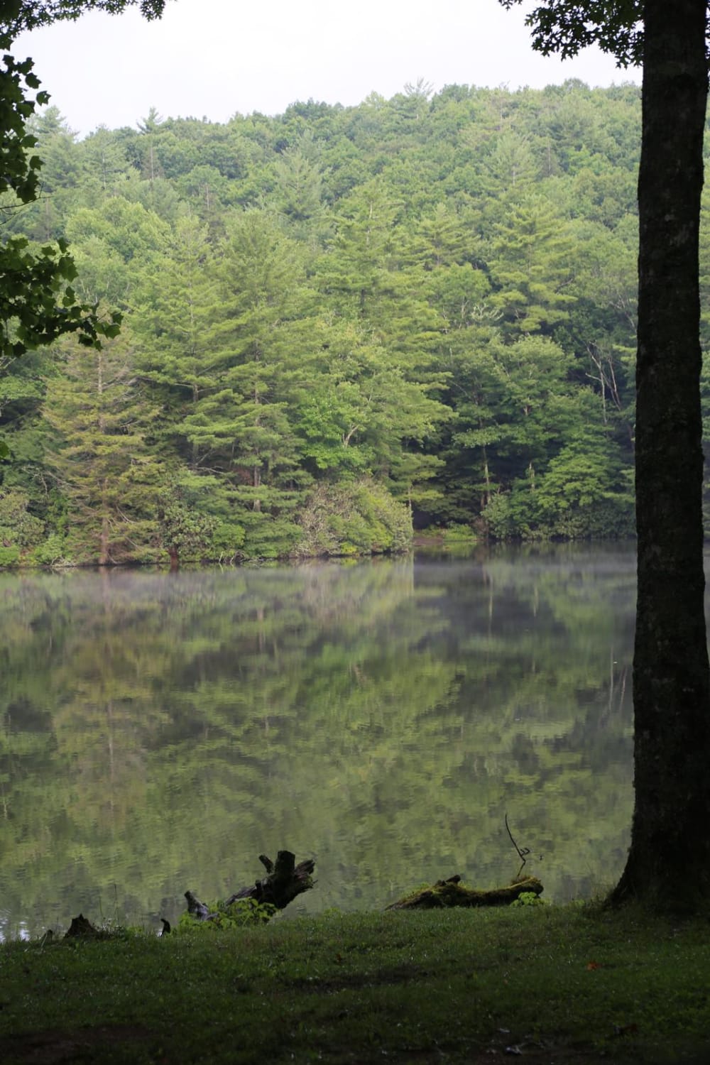
Georgia Traverse
Total Miles
390.7
Tech Rating
Easy
Best Time
Spring, Summer, Fall
Learn more about Georgia WMA: Dawson Forest
Georgia WMA: Dawson Forest
Total Miles
6.3
Tech Rating
Moderate
Best Time
Spring, Summer, Fall, Winter
Learn more about Gibson Island Road
Gibson Island Road
Total Miles
2.6
Tech Rating
Easy
Best Time
Spring, Summer, Fall, Winter
Learn more about Gibson/Bay Connector
Gibson/Bay Connector
Total Miles
0.7
Tech Rating
Easy
Best Time
Spring, Summer, Fall, Winter
Learn more about Gillespie Branch - FS 287
Gillespie Branch - FS 287
Total Miles
1.8
Tech Rating
Easy
Best Time
Fall, Summer, Spring
Learn more about Glassy Mountain - FS 11
Glassy Mountain - FS 11
Total Miles
4.1
Tech Rating
Easy
Best Time
Spring, Summer, Fall
Learn more about Gold Mine Road (Willis Knob)
Gold Mine Road (Willis Knob)
Total Miles
5.5
Tech Rating
Moderate
Best Time
Spring, Summer, Fall, Winter
Learn more about Gordon Springs
Gordon Springs
Total Miles
2.0
Tech Rating
Easy
Best Time
Spring, Fall, Summer
Learn more about Gordon Springs Connector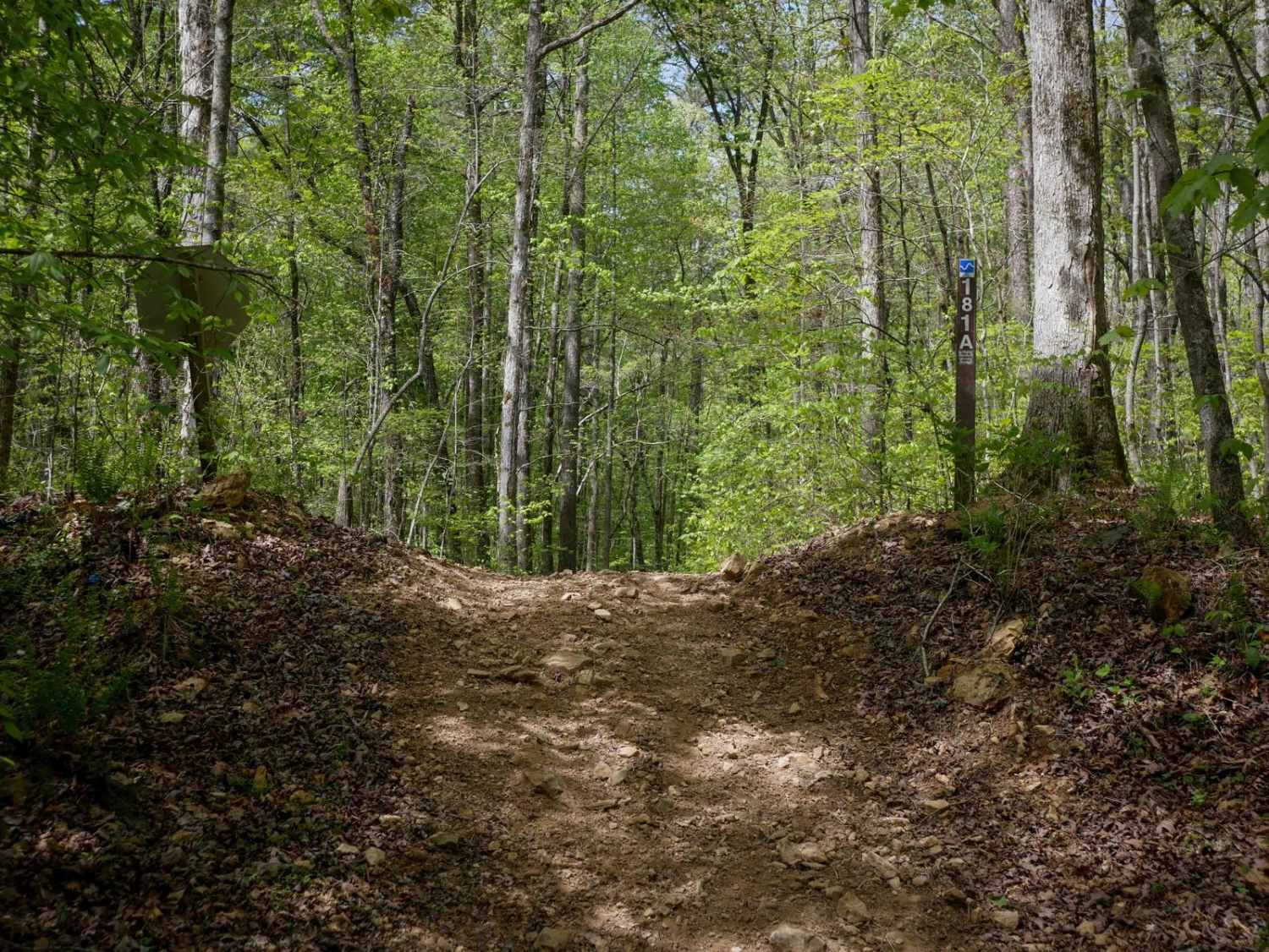
Gordon Springs Connector
Total Miles
0.3
Tech Rating
Easy
Best Time
Spring, Fall, Summer
Learn more about Goshen Mountain Road
Goshen Mountain Road
Total Miles
2.2
Tech Rating
Easy
Best Time
Spring, Summer, Fall, Winter
Learn more about Greenwood Church Road
Greenwood Church Road
Total Miles
1.8
Tech Rating
Easy
Best Time
Spring, Summer, Winter, Fall
Learn more about Grid Loop Road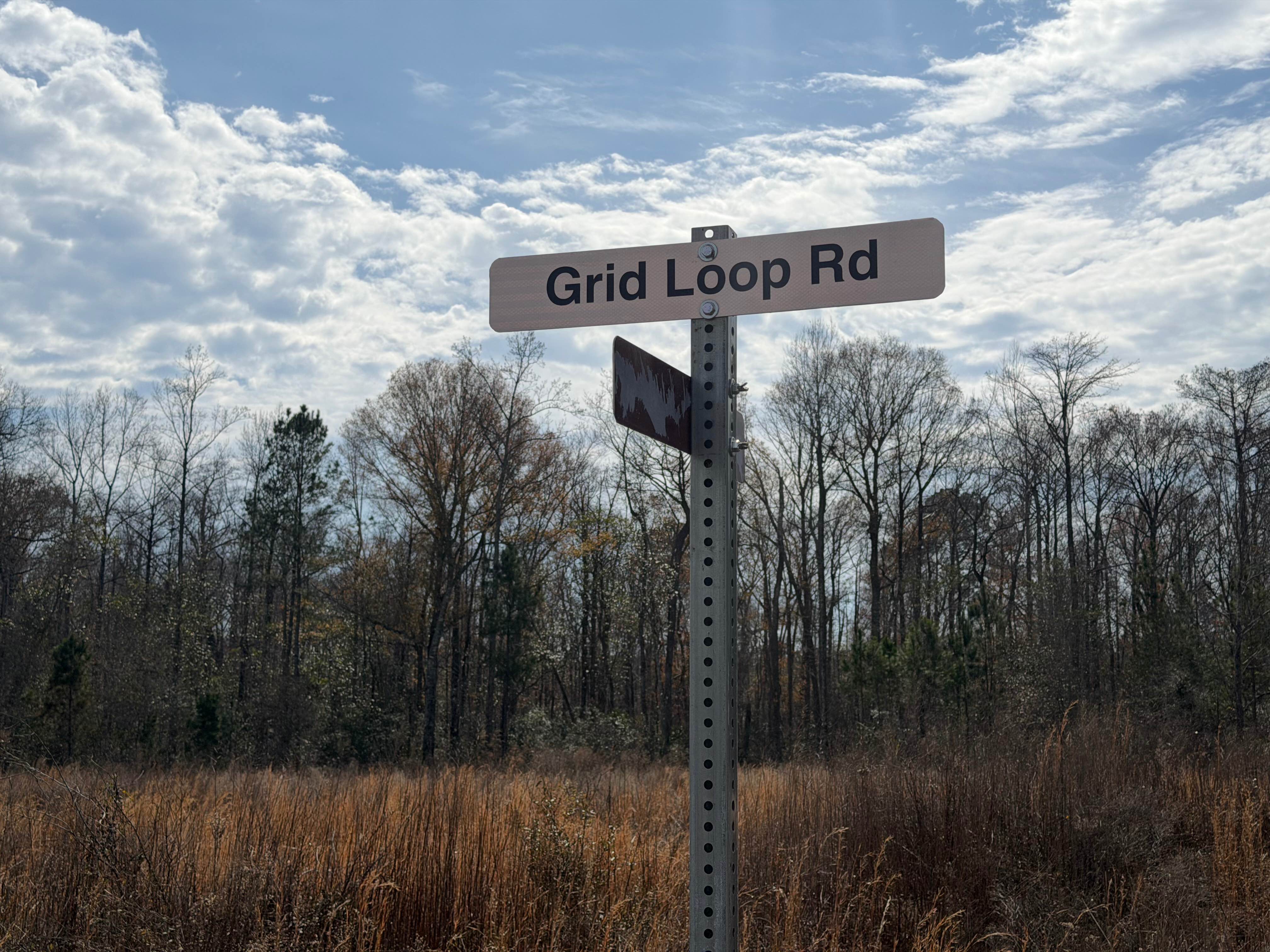
Grid Loop Road
Total Miles
3.5
Tech Rating
Moderate
Best Time
Spring, Summer, Fall, Winter
Learn more about Gumlog Gap FS 95
Gumlog Gap FS 95
Total Miles
5.7
Tech Rating
Easy
Best Time
Spring, Summer, Fall
Learn more about Gurley Creek - FS 137
Gurley Creek - FS 137
Total Miles
1.1
Tech Rating
Easy
Best Time
Spring, Summer, Fall
Learn more about Hammond Gap - FSR 259
Hammond Gap - FSR 259
Total Miles
7.3
Tech Rating
Easy
Best Time
Fall
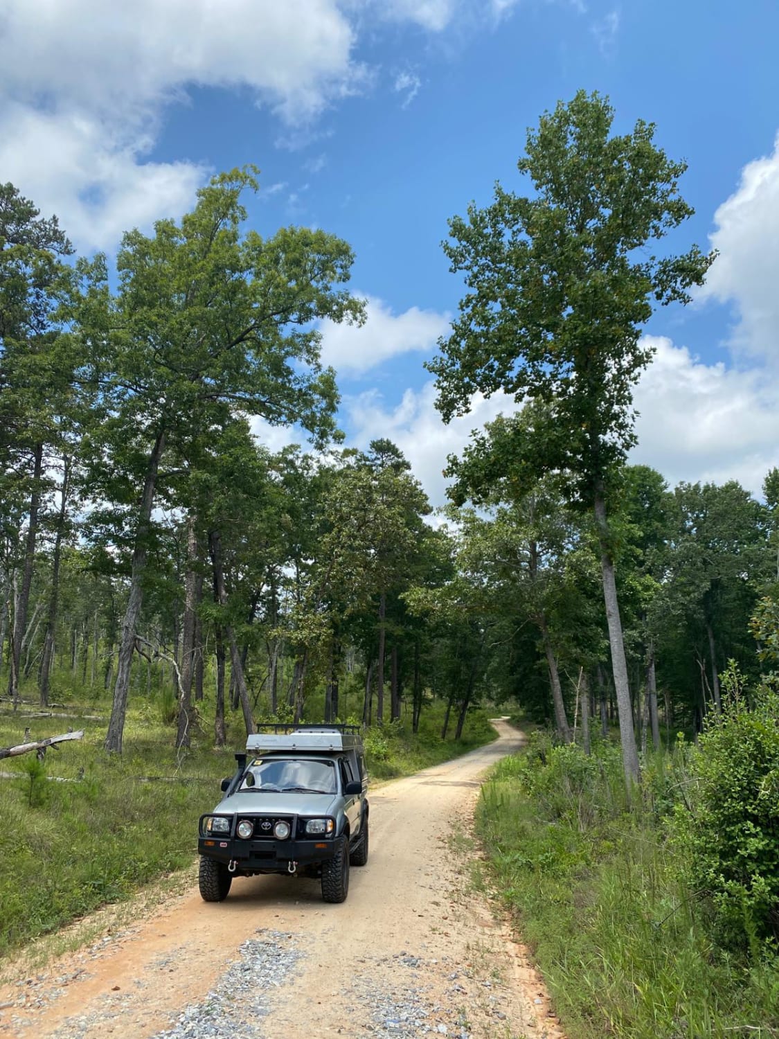
Learn more about Hannahatchee Creek Trail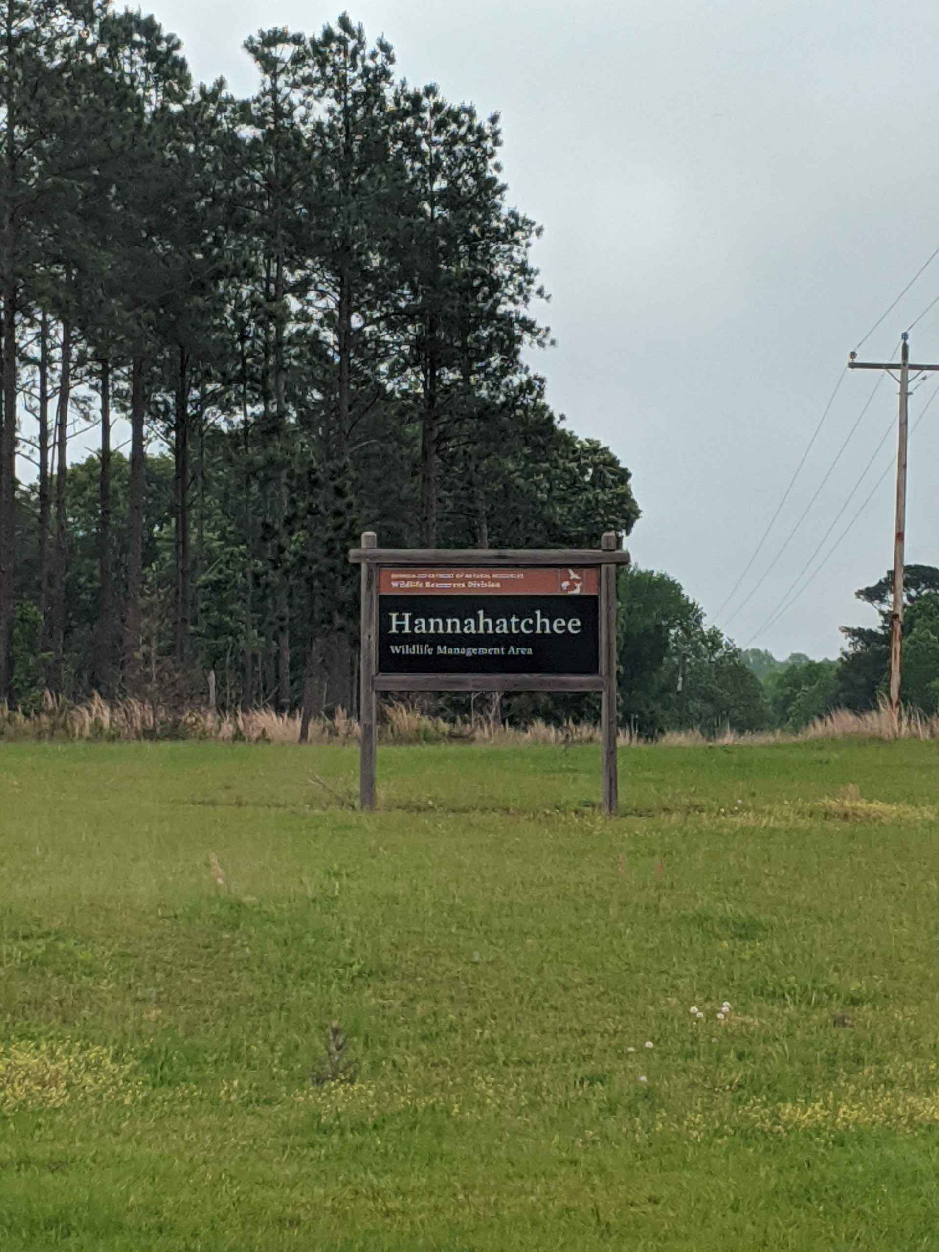
Hannahatchee Creek Trail
Total Miles
10.2
Tech Rating
Moderate
Best Time
Spring, Summer, Fall, Winter
ATV trails in Georgia


Learn more about 181-B-O connector Unlabeled
181-B-O connector Unlabeled
Total Miles
0.0
Tech Rating
Easy
Best Time
Spring, Summer, Fall
UTV/side-by-side trails in Georgia
Learn more about 3 - Peeples Lake
3 - Peeples Lake
Total Miles
3.5
Tech Rating
Easy
Best Time
Spring, Summer, Fall
Learn more about 631- Tatum Lead
631- Tatum Lead
Total Miles
7.4
Tech Rating
Easy
Best Time
Spring, Summer, Fall
Learn more about Alexander Hollow Trail
Alexander Hollow Trail
Total Miles
1.5
Tech Rating
Easy
Best Time
Spring, Summer, Fall, Winter
Learn more about Alexander Ridge Trail
Alexander Ridge Trail
Total Miles
3.9
Tech Rating
Easy
Best Time
Spring, Summer, Fall, Winter
The onX Offroad Difference
onX Offroad combines trail photos, descriptions, difficulty ratings, width restrictions, seasonality, and more in a user-friendly interface. Available on all devices, with offline access and full compatibility with CarPlay and Android Auto. Discover what you’re missing today!