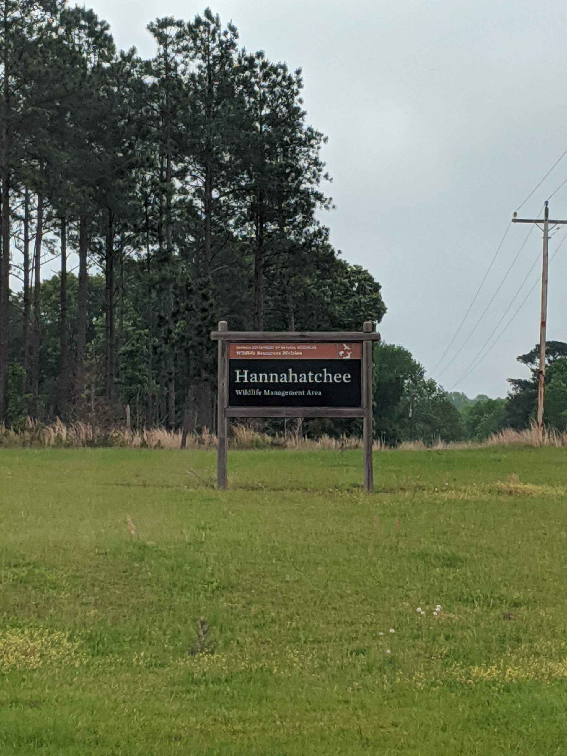
Hannahatchee Creek Trail
Total Miles
10.2
Technical Rating
Best Time
Spring, Summer, Fall, Winter
Trail Type
High-Clearance 4x4 Trail
Accessible By
Trail Overview
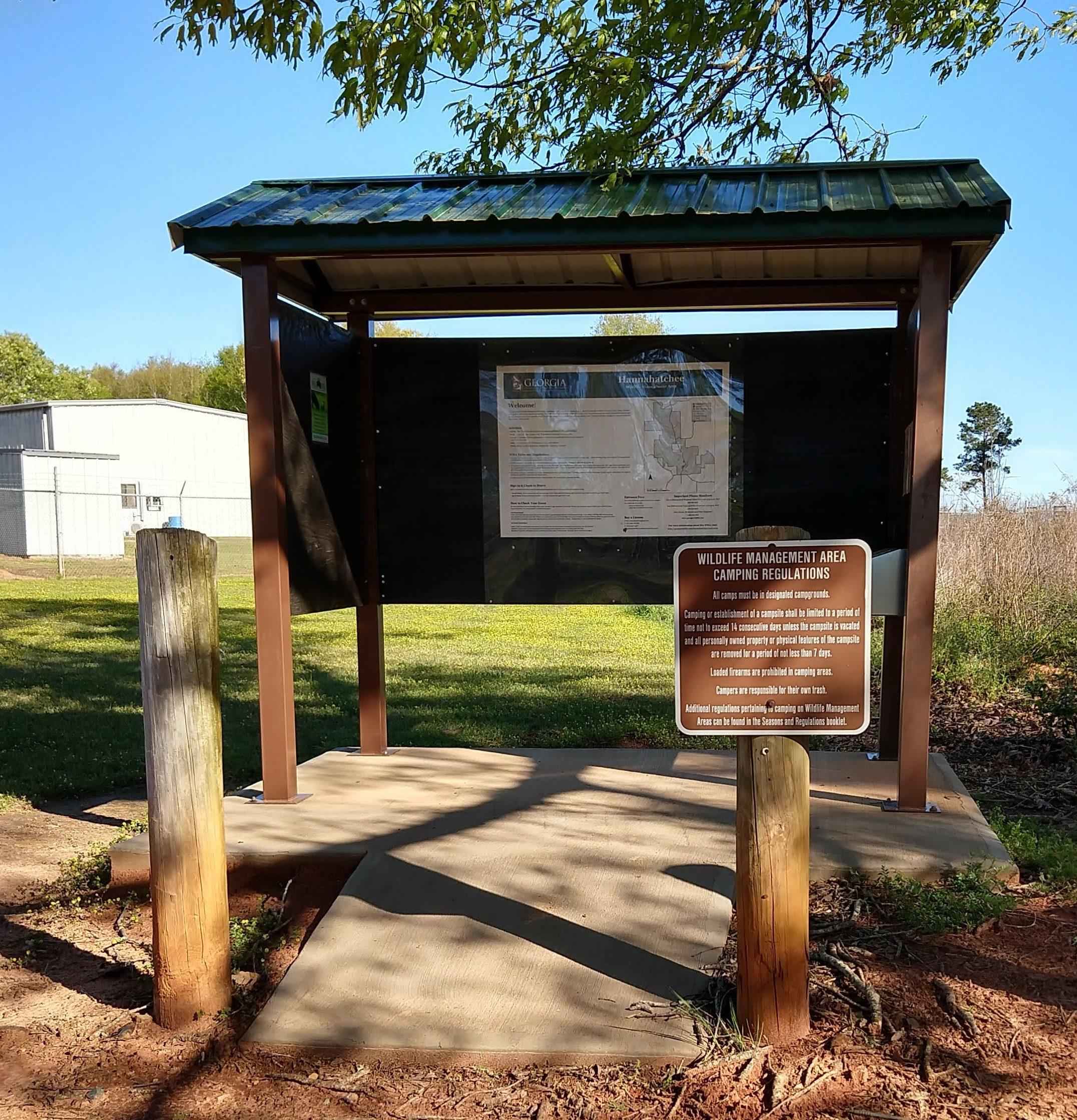
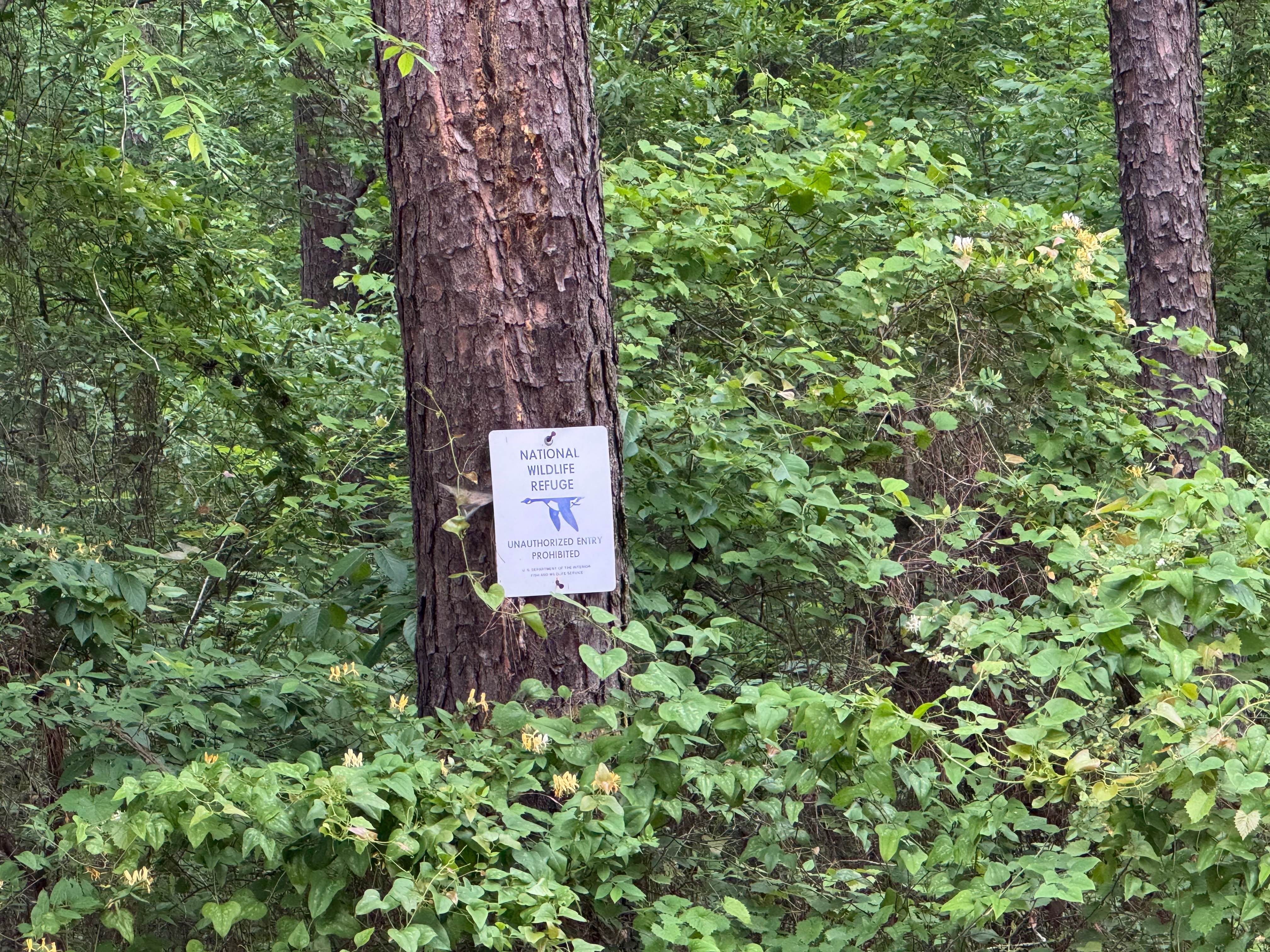
This 10-mile dirt route in Lumpkin, Georgia, winds through the wild beauty of Hannahatchee Creek WMA, offering a shooting range, a scenic foothill view campground, hunting areas, and a peaceful fishing pond. The trail crosses sparkling streams and a challenging creek crossing, with terrain shifting between sand, packed dirt, and gravel offering ruts, washouts, and soft shoulders that add to the adventure, especially after rain when conditions can become slippery and unpredictable. Dispersed camping is not allowed, so visitors must stay in the designated campground, and appropriate permits are required for entry. High clearance and 4WD are recommended when conditions are wet.
Photos of Hannahatchee Creek Trail
Difficulty
Water crossing is at a rutted, steep grade upon entry and exit with a mixture of packed dirt, silt, and sand. The trail is rutted in some spots that require high clearance and use of 4WD, depending on weather conditions, which can quickly change the terrain. Soft Shoulders can contain several inches of water, which can be deceiving, so please use caution when attempting.
Status Reports
Hannahatchee Creek Trail can be accessed by the following ride types:
- High-Clearance 4x4
Hannahatchee Creek Trail Map
Popular Trails

Glassy Mountain - FS 11

Stanley Gap - FSR 338
Five Points Road
Pigeon Mountain
The onX Offroad Difference
onX Offroad combines trail photos, descriptions, difficulty ratings, width restrictions, seasonality, and more in a user-friendly interface. Available on all devices, with offline access and full compatibility with CarPlay and Android Auto. Discover what you’re missing today!