Stanley Gap - FSR 338
Total Miles
7.5
Technical Rating
Best Time
Fall, Winter
Trail Type
Full-Width Road
Accessible By
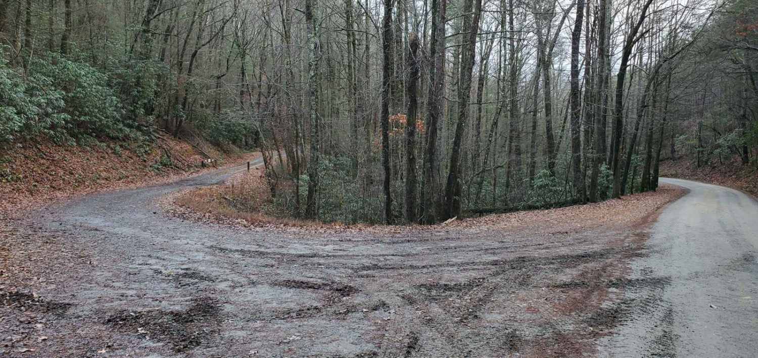
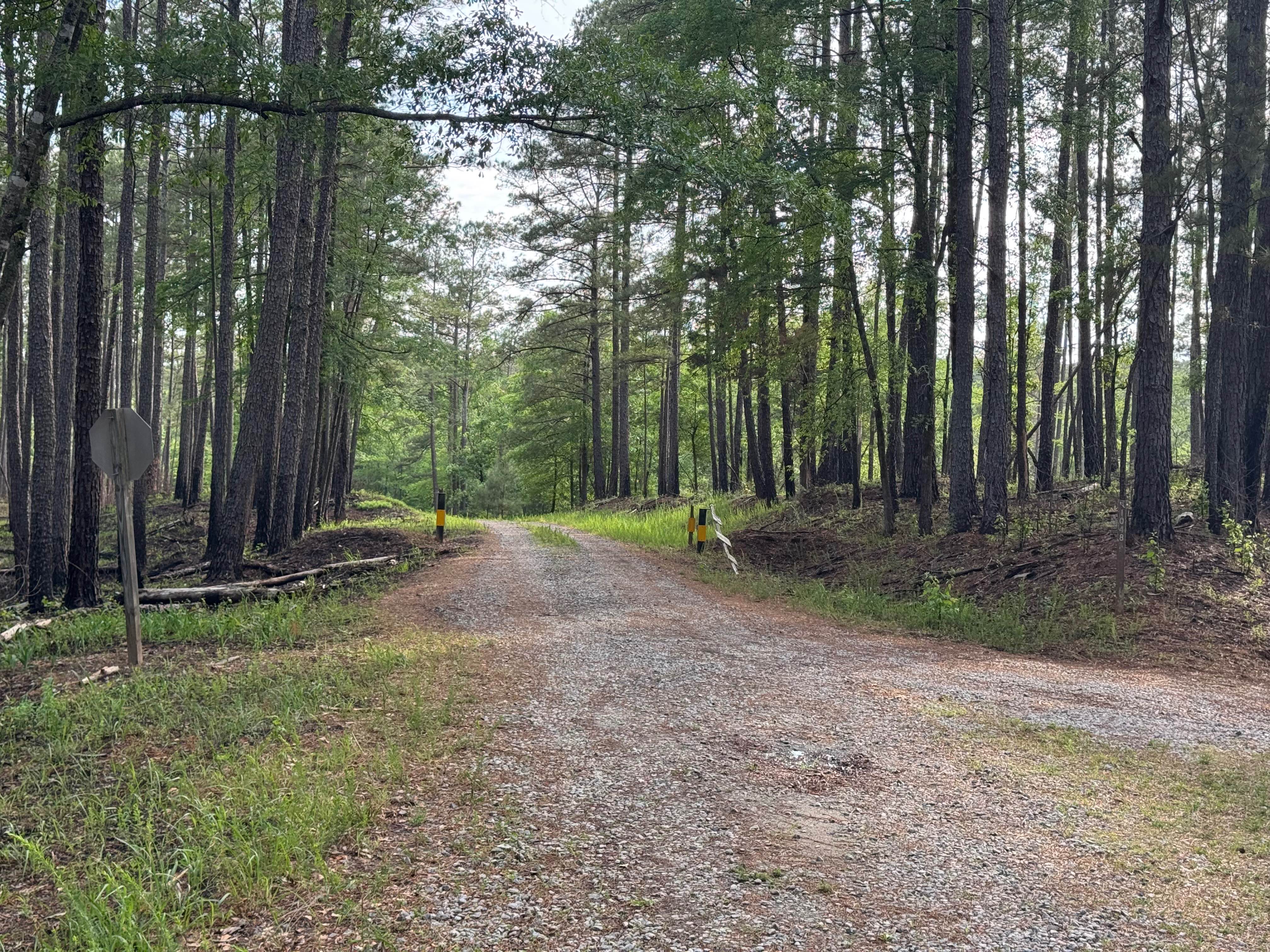
Trail Overview
Stanley Gap, FSR 338, is a seasonally closed in-and-out forest service road in the Rich Mountain Wilderness. Being an in-and-out road, the return trip is included in the time estimate for this road. Primarily used as access for hunters, Stanley Gap also has plenty of great primitive campsites to enjoy. This road gets fairly high in elevation for the area and thus weather shifts can take place, plan accordingly. Current 2024 MVUM maps list the open dates of 8/13-6/1. Please report any dumpsites or illegal activities to the Blue Ridge Ranger District at 706 745-6928.
Photos of Stanley Gap - FSR 338

Difficulty
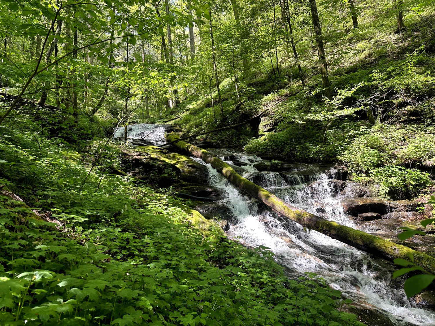
Most of this road is typical of the forest service roads in the area. A smooth gravel road with occasional potholes that can often be filled with water and/or mud. However, there are a few spots where erosion is starting to take its toll, and some suspension flex and ground clearance would be helpful. In said sections, the road is wide enough to pick an easy line for those with less ground clearance. 4-wheel drive/all-wheel drive is recommended, but when dry, 2wd vehicles with a little ground clearance could get by. There are a few water crossings but nothing to give pause.
Status Reports
Stanley Gap - FSR 338 can be accessed by the following ride types:
- High-Clearance 4x4
- SUV
Stanley Gap - FSR 338 Map
Popular Trails
Chattahoochee River Road
Williamson Cemetery A - FS 1048A
Satilla WMA Tour

Barnhart-Sutz Trail
The onX Offroad Difference
onX Offroad combines trail photos, descriptions, difficulty ratings, width restrictions, seasonality, and more in a user-friendly interface. Available on all devices, with offline access and full compatibility with CarPlay and Android Auto. Discover what you’re missing today!